


Bergneustadt, Germany
Bergneustadt is a town of 20,567 people in North Rhine-Westphalia, Germany.
Why visit Bergneustadt
Townapedia lists 25 museums and landmarks, 22 parks and trails, 66 places to eat, 12 places to stay and 37 attractions in and around town.
Highlights include Affen- und Vogelpark Eckenhagen, Schauspielhaus, Heimatmuseum Bergneustadt and Schwedenkreuz.
Weather in Bergneustadt
Forecast from MET Norway (CC BY 4.0). Full forecast
About Bergneustadt
Bergneustadt (German pronunciation: [bɛʁkˈnɔʏʃtat] ) is a municipality in the eastern part of the Oberbergischer Kreis (district), in North Rhine-Westphalia, Germany. It is located 50 km east of Cologne. It is part of the Berg region.
From the Wikipedia article Bergneustadt (this version), under CC BY-SA 4.0.
Things to do37

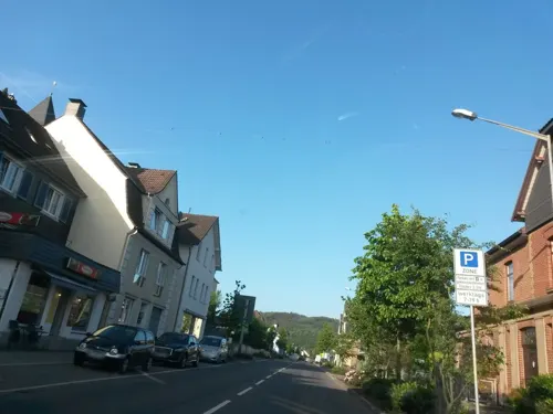




25 more on the map.
Museums and landmarks25

Heimatmuseum Bergneustadt
Museum · 0.6 km
1 Wallstraße, Bergneustadt
Tu-Su 11:00-17:00; Mo off; PH unknown


Alter Standort Kriegerdenkmal Kleinwiedenest
Monument and historic site · 1.2 km
Überreste aus Steinmauer und Gedenkstein ohne Tafeln
Kriegerdenkmal Altenothe
Monument and historic site · 3.5 km
Kein offizielles Denkmal der Stadt Bergneustadt. Wurde von einheimischen Kriegsheimkehrern des 2 Weltkriegs selbst gebaut und von den...
13 more on the map.
Parks, trails and playgrounds22






10 more on the map.
Restaurants and cafes66
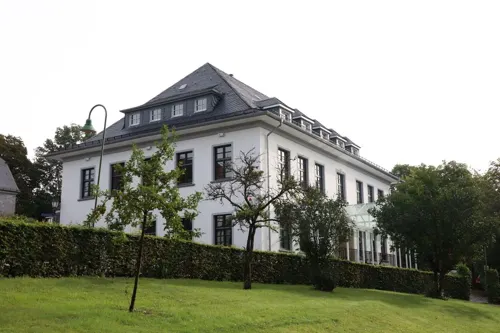
Dtsch.-Griechisches Restaurant
Restaurant · Greek, German · 4.8 km
3 Kirchbergstraße, Reichshof
Mo 17:30+; Tu,Th,Fr 12:00-14:30,17:30+; We off; Sa,Su...
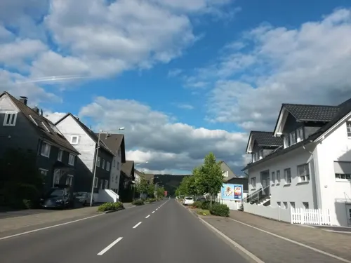
Pizza 49 Daro
Restaurant · Pizza · 0.7 km
334 Kölner Straße
Tu-Th 11:00-22:00; Fr,Sa 11:00-23:00; Su 11:00-22:00; Mo off

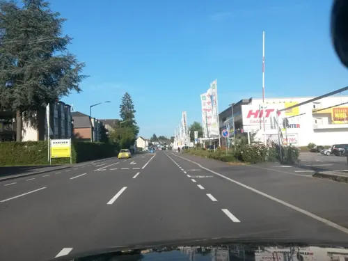
Bowlingcenter Oberberg
Restaurant · Greek · 2.5 km
Tu-Th 16:00-23:00; Fr 16:00-01:00; Sa 15:00-01:00; Su 11:00-23:00
Bürgers Backstube
Bakery
Kölner Straße, Bergneustadt
Mo-Fr 06:00-18:00; Sa 06:00-12:00
Pizza Pronto
Restaurant · Pizza · 2.3 km
56 Olper Straße
Tu-Th 11:00-22:00; Fr 11:00-23:00; Sa 11:00-24:00; PH,Su...



54 more on the map.
History
In 1301, the drost Rutger of Altena started with the construction of the Niestat, as an outpost of the County of Mark against the archbishop of Cologne, on the request of Eberhard II, Count of the Mark. The new "Veste" soon received the same rights as Lüdenscheid. Together with Wipperfürth, Lüdenscheid and Lennep, it belongs to a series of town foundations of the 13th century in the border region of the County of Mark and the County of Berg.
The new town had impressive fortifications, including the town castle on a mountain spur above the river Dörspe. Parts of the town walls have survived. After early 17th century Neustadt went into decline, due to war, epidemics, fires and decreased strategic importance. After 1830 the construction of major roads and the railway lines from Siegburg and Cologne to Olpe (1896-1903) helped the town to new growth, further aided by strong industrial growth since the 1950s. The main activities were car industry, paper treatment, metal treatment and plastic treatment as well as mechanical engineering.
Older than the main town are Wiedenest (1154), Altenothe (1237), Belmicke (1296); they all are a part of Bergneustadt since 1969. The decorated church (Bunte Kirche) in Wiedenest dates from the 12th century and is one of the most beautiful churches in North Rhine-Westphalia.
From the History section of Bergneustadt on Wikipedia, under CC BY-SA 4.0.
Where to stay12
Churches and places of worship25
Sankt Matthias
Church · Roman Catholic · 1.2 km
1 Löhstraße, Bergneustadt
Evangelisch-Freikirchliche Gemeinde Wiedenest
Church · Protestant · 2.7 km
28 Bahnhofstraße, Bergneustadt
Königreichssaal der Zeugen Jehovas
Church · Jehovahs Witness
312 Kölner Straße, Bergneustadt
Shopping23
Gas and EV charging7
Schools, colleges and libraries14
Healthcare8
Apotheke am Bernberg
Clinic and pharmacy · 3.9 km
55 Dümmlinghauser Straße, Gummersbach
Map of Bergneustadt
239 places. The map loads OpenStreetMap tiles when you open it.
Getting there and nearby towns
Cologne Bonn Airport (CGN) is the nearest airport with scheduled flights listed in OpenStreetMap, 40 km away.
- Gummersbach 6 km west, about 6 min by car
- Drolshagen 8 km east, about 8 min by car
- Meinerzhagen 9 km north, about 9 min by car
- Marienheide 11 km northwest, about 11 min by car
- Kierspe 13 km north, about 13 min by car
- Olpe 14 km east, about 14 min by car
- Nümbrecht 16 km southwest, about 16 min by car
- Waldbröl 17 km south, about 17 min by car
- Engelskirchen 17 km west, about 17 min by car
- Morsbach 18 km south, about 18 min by car
Drive times are estimates from straight-line distance, not routes.
Local news
Headlines from INDB.
Reviews, tips and questions
Loading what members have shared...
Sources and licences
- GeoNames (CC BY 4.0): population, coordinates, regions and time zone
- Mapillary (see each image): photos
- OpenStreetMap contributors (ODbL 1.0): places, airports, map data
- Wikidata (CC0 1.0): elevation, founding date, time zone, website
- Wikimedia Commons (see each image): photos
- Wikipedia (CC BY-SA 4.0): overview and history text
Photo credits
- Bergneustadt-Spindelkreisel1-Asio, Asio otus, CC BY-SA 3.0
- Bergneustadt-Baldenberg FFSW 3208, Petra Klawikowski, CC BY-SA 3.0
- Hauptstraße 57 (Bergneustadt), DiAuras, CC BY-SA 4.0
- Kirchstraße 13 (Bergneustadt), DiAuras, CC BY-SA 4.0
- Burgstraße 4-6-6a (Bergneustadt) (3), DiAuras, CC BY-SA 4.0
- Kirchstraße 13 (Bergneustadt) (2), DiAuras, CC BY-SA 4.0
- Burgstraße 4-6-6a (Bergneustadt) (5), DiAuras, CC BY-SA 4.0
- Burgstraße 4-6-6a (Bergneustadt) (4), DiAuras, CC BY-SA 4.0
- Kirchstraße 9 (Bergneustadt) (3), DiAuras, CC BY-SA 4.0
- Hauptstraße 30 (Bergneustadt) (2), DiAuras, CC BY-SA 4.0
- Kirchstraße 5A (Bergneustadt) (2), DiAuras, CC BY-SA 4.0
- Kirchstraße 9 (Bergneustadt) (2), DiAuras, CC BY-SA 4.0
- Kirchstraße 9 (Bergneustadt) (1), DiAuras, CC BY-SA 4.0
- Kirchstraße 5A (Bergneustadt) (1), DiAuras, CC BY-SA 4.0
- Am freien Stuhl 1 (Bergneustadt), DiAuras, CC BY-SA 4.0
- Bergneustadt kirche 2016, Klaus Graf, CC0
- Kirchstraße 4 (Bergneustadt) (2), DiAuras, CC BY-SA 4.0
- Hauptstraße 30 (Bergneustadt) (1), DiAuras, CC BY-SA 4.0
- Hauptstraße 24 (Bergneustadt) (2), DiAuras, CC BY-SA 4.0
- Hauptstraße 24 (Bergneustadt) (3), DiAuras, CC BY-SA 4.0
- Hauptstraße 24 (Bergneustadt) (4), DiAuras, CC BY-SA 4.0
- Kirchstraße - Alte Schmiede (Bergneustadt), DiAuras, CC BY-SA 4.0
- Hauptstraße 6 (Bergneustadt) (1), DiAuras, CC BY-SA 4.0
- Hauptstraße 6 (Bergneustadt) (2), DiAuras, CC BY-SA 4.0
- Hauptstraße 20 (Bergneustadt) (1), DiAuras, CC BY-SA 4.0
- Hauptstraße 20 (Bergneustadt) (2), DiAuras, CC BY-SA 4.0
- Hauptstraße 11 (Bergneustadt), DiAuras, CC BY-SA 4.0
- Bergneustadt Rathaus FFSW-0417, Michael Kramer, CC BY-SA 3.0
- Martin-Luther-Straße 2-3 Wiedenest (Bergneustadt) (2), DiAuras, CC BY-SA 4.0
- Kirche Eckenhagen, Sebastian Hirsch ( Diskussion ), CC BY-SA 3.0
- Evangelische Kirche (Gummersbach-Lieberhausen) (01), Chris06, CC BY-SA 4.0
- Bergneustadt - Kirchstraße - Kirche ex 01 ies, Frank Vincentz, CC BY-SA 3.0
- Kirche hackenberg-1, The original uploader was Mrfinch at German Wikipedia ., CC BY-SA 3.0
- Unnenberg Oberbergisches Land, AndreasFahrrad, CC BY-SA 3.0
- Bergneustadt-Heimatmuseum1-Bubo, Bubo, CC BY-SA 3.0
- Unnenbergturm, Jörg Braukmann, CC BY-SA 4.0
- NSG GM-014 Rengsebecken, DiAuras, CC BY-SA 4.0
- Berberaffen Eckenhagen, JohnWilliamDoe, CC BY-SA 3.0
- Bergneustadt Wiedenest - Evangelische Kreuzkirche 13 ies, Frank Vincentz, CC BY-SA 3.0
- GMLieberhausen Kirche, me, Public domain
- Street-level photo, uwekoch, CC BY-SA 4.0
- Street-level photo, uwekoch, CC BY-SA 4.0
- Street-level photo, valraz, CC BY-SA 4.0
- Street-level photo, uwekoch, CC BY-SA 4.0
- Street-level photo, uwekoch, CC BY-SA 4.0
- Street-level photo, uwekoch, CC BY-SA 4.0
- Street-level photo, uwekoch, CC BY-SA 4.0
- Street-level photo, uwekoch, CC BY-SA 4.0
- Street-level photo, uwekoch, CC BY-SA 4.0
- Street-level photo, tobiasreg, CC BY-SA 4.0
- Street-level photo, uwekoch, CC BY-SA 4.0
- Street-level photo, uwekoch, CC BY-SA 4.0
- Street-level photo, uwekoch, CC BY-SA 4.0
- Street-level photo, uwekoch, CC BY-SA 4.0
- Street-level photo, uwekoch, CC BY-SA 4.0
- Street-level photo, uwekoch, CC BY-SA 4.0
- Street-level photo, uwekoch, CC BY-SA 4.0
- Street-level photo, simonikes, CC BY-SA 4.0
- Street-level photo, uwekoch, CC BY-SA 4.0
- Street-level photo, uwekoch, CC BY-SA 4.0
- Street-level photo, uwekoch, CC BY-SA 4.0
- Street-level photo, uwekoch, CC BY-SA 4.0


Page built November 8, 2026. Spotted a mistake? Tell us or suggest a place.