


Drolshagen, Germany
Drolshagen is a town of 12,310 people in North Rhine-Westphalia, Germany.
Why visit Drolshagen
Townapedia lists 36 museums and landmarks, 54 parks and trails, 93 places to eat, 20 places to stay and 51 attractions in and around town.
Highlights include Affen- und Vogelpark Eckenhagen, Stadthalle, Wendener Hütte and Herpeler Höhle.
Weather in Drolshagen
Forecast from MET Norway (CC BY 4.0). Full forecast
About Drolshagen
Drolshagen (German pronunciation: [ˈdʁɔlshaɡn̩] ; Westphalian: Draulsen, or Draulzen) is a town belonging to the district of Olpe in the Regierungsbezirk of Arnsberg in North Rhine-Westphalia, Germany, lying roughly 5 km west of Olpe.
From the Wikipedia article Drolshagen (this version), under CC BY-SA 4.0.
Things to do51



39 more on the map.
Museums and landmarks36

Wendener Hütte
Museum · 7.0 km
Museum in Germany
6 Hochofenstraße, Wenden
Apr-Oct: Tu-Su 15:00-18:00

Herpeler Höhle
Monument and historic site · 5.4 km
Bergstollen für Kupfererz aus dem 18. Jahrhundert.
Drolshagener Labyrinth
Monument and historic site · 1.3 km
Heckenlabyrinth circa 750 Meter lang
Ehrenmal
Monument and historic site
Gedenkstätte für die Gewaltopfer des 1. und 2. Weltkriegs
Kriegerdenkmal Altenothe
Monument and historic site · 5.1 km
Kein offizielles Denkmal der Stadt Bergneustadt. Wurde von einheimischen Kriegsheimkehrern des 2 Weltkriegs selbst gebaut und von den...

24 more on the map.
Parks, trails and playgrounds54


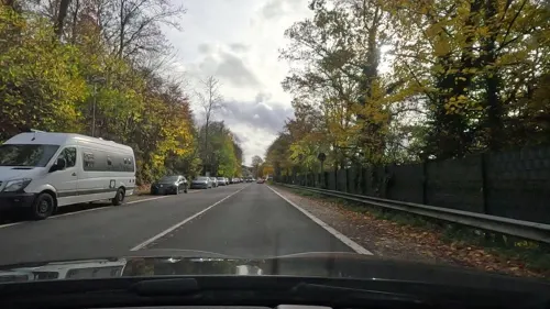
Freizeitbad Olpe
Sports field and stadium · 4.8 km
5 Seeweg, Olpe
Mo-Fr 08:00-20:00; Sa-Su 10:00-20:00
Gipperbachtal und Grauwackesteinbruch Stupperhof
Hiking and trails · 1.2 km
42 more on the map.
Restaurants and cafes93
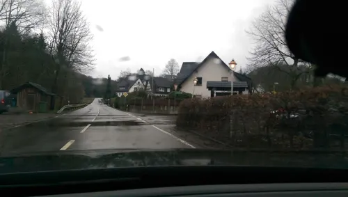

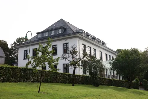
Dtsch.-Griechisches Restaurant
Restaurant · Greek, German · 6.8 km
3 Kirchbergstraße, Reichshof
Mo 17:30+; Tu,Th,Fr 12:00-14:30,17:30+; We off; Sa,Su...

Il Duomo
Restaurant · Pizza · 6.6 km
28 Im Dohm, Olpe
Mo 12:00-14:00,18:00-23:00;We-Fr 12:00-14:00,18:00-23:00; Sa...
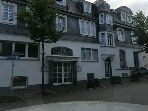
Restaurant L'isoletta
Restaurant · Italian · 5.1 km
21 Westfälische Straße, Olpe
Mo, Tu, Th, Fr, Sa, Su 12:00-14:00,17:30-22:00

Restraunt Schürholz
Restaurant · International
31 Hagener Straße, Drolshagen
Tu-Sa 11:30-14:30,17:30-22:00; Su 11:30-22:00
Goldener Löwe
Bar and pub · 5.0 km
6 Am Markt, Olpe
Mo-Th 10:00-23:00; Fr 10:00-02:00; Sa 09:30-03:00; Su 09:30-22:00


Starnberger Wirtshaus
Restaurant · 4.9 km
2 In der Wüste, Olpe
We-Fr 17:00-00:00; Sa 11:30-00:00; Su 11:00-22:00
81 more on the map.
History
The Sauerland, then known as Süderland, had been part of the Duchy of Saxony when it was given to the Archbishop of Cologne, Philipp, in 1180. In 1413, the townsfolk and Denklingen Castle were under the control of the Duke of Berg as part of the feudal system existing at the time. From 1470, the historical record mentions knights in Drolshagen.
Drolshagen was granted town rights on 2 March 1477 by Ruprecht, Archbishop of Cologne, thus entitling it to a market and walls. In 1485, these were not only confirmed but also strengthened by Archbishop Hermann IV, who added the right to hold a fair. Long before Droshagen received its town charter it had already been a Freiheit ("freedom") meaning that it had already been granted privileges close to a town charter. As such, Drolshagen had a mayor, a council and a seal of its own. Even by 1477, this "freedom's" sphere of influence within the Sauerland was already quite broad. The Cistercian monastery, endowed in 1235, fell into a quarrel with the town beginning in 1550 over who had rights to the St.-Clemens-Kirche (church), which in turn led to a trial in Rome.
From the History section of Drolshagen on Wikipedia, under CC BY-SA 4.0.
Where to stay20
Churches and places of worship41
St. Antonius Einsiedler
Church · Roman Catholic · 2.9 km
9 Brachtpetalstraße, Drolshagen
Evangelisch-Freikirchliche Gemeinde Wiedenest
Church · Protestant · 5.7 km
28 Bahnhofstraße, Bergneustadt
Shopping23
Gas and EV charging23
Schools, colleges and libraries20
Gräfin-Sayn-Schule, Kath. Verbundgrundschule der Stadt Drolshagen - Teilstandort Drolshagen
School · Roman Catholic · 0.6 km
2 Am Buscheid, Drolshagen
Kath. Verbundgrundschule der Stadt Drolshagen - Teilstandort Schreibershof
School · Roman Catholic · 4.7 km
17 Listerstraße, Drolshagen
Healthcare14
Map of Drolshagen
250 places. The map loads OpenStreetMap tiles when you open it.
Getting there and nearby towns
Siegerlandflughafen (SGE) is the nearest airport with scheduled flights listed in OpenStreetMap, 41 km away.
- Olpe 5 km east, about 5 min by car
- Meinerzhagen 13 km northwest, about 13 min by car
- Gummersbach 15 km west, about 15 min by car
- Freudenberg 16 km southeast, about 16 min by car
- Kreuztal 16 km east, about 16 min by car
- Kierspe 18 km northwest, about 18 min by car
- Morsbach 18 km south, about 18 min by car
- Marienheide 18 km west, about 18 min by car
- Waldbröl 20 km southwest, about 20 min by car
- Nümbrecht 21 km southwest, about 21 min by car
Drive times are estimates from straight-line distance, not routes.
Local news
Headlines from INDB.
Reviews, tips and questions
Loading what members have shared...
Sources and licences
- GeoNames (CC BY 4.0): population, coordinates, regions and time zone
- Mapillary (see each image): photos
- OpenStreetMap contributors (ODbL 1.0): places, airports, map data
- Wikidata (CC0 1.0): elevation, founding date, time zone, website
- Wikimedia Commons (see each image): photos
- Wikipedia (CC BY-SA 4.0): overview and history text
Photo credits
- Drolshagen-Marktplatz1-Bubo, Bubo, CC BY-SA 3.0
- Drolshagen Villa FFSW-0876, Michael Kramer, CC BY-SA 3.0
- Wenden-WendenerHuette2-Bubo, Bubo, CC BY-SA 3.0
- Kirche Eckenhagen, Sebastian Hirsch ( Diskussion ), CC BY-SA 3.0
- St. Michael zu Sendschotten Umgang2012, MR731992, CC BY 3.0
- Olpe - Kurkölner Platz 03 ies, Frank Vincentz, CC BY-SA 3.0
- St. Antoniua Einsiedler Drolshagen-Iseringhausen, Dr. Hans Wiechers, CC BY-SA 3.0
- Drolshagen-StClemens1-Bubo, Bubo, CC BY-SA 3.0
- Olpe-RhodeKirche1-Bubo, Bubo, CC BY-SA 3.0
- Gerlingen, die Sankt Antoniuskirche foto4 2017-06-03 16.34, Michielverbeek, CC BY-SA 4.0
- Katholische Kreuzkapelle Olpe, ThomasGerd, CC BY 3.0
- Alsmicke, Thariama, CC BY-SA 4.0
- Berberaffen Eckenhagen, JohnWilliamDoe, CC BY-SA 3.0
- Bergneustadt Wiedenest - Evangelische Kreuzkirche 13 ies, Frank Vincentz, CC BY-SA 3.0
- Martinus Kirche bearbeitet, Melvis, CC BY-SA 3.0
- Drolshagen-Schuerholz1-Bubo, Bubo, CC BY-SA 3.0
- Alsmicketal, Thariama, CC BY-SA 4.0
- Huenkesohl-2, JBCDSalm, CC BY-SA 4.0
- Autobahn 45 mit Anschlussstelle Olpe, FFSW 3304, Petra Klawikowski, CC BY-SA 3.0
- Grube Tubalkain Neuer Stollen Olpe-Rüblinghausen, Thariama, CC BY-SA 4.0
- Ortsaufnahme Iseringhausen, Sympathisches Iseringhausen, CC BY 4.0
- ISS022-E-49609 - View of Earth, Earth Science and Remote Sensing Unit , Lyndon B. Johnson Space Center, Public domain
- Street-level photo, live, CC BY-SA 4.0
- Street-level photo, chuck, CC BY-SA 4.0
- Street-level photo, maierkurt77, CC BY-SA 4.0
- Street-level photo, valraz, CC BY-SA 4.0
- Street-level photo, rab, CC BY-SA 4.0
- Street-level photo, rab, CC BY-SA 4.0
- Street-level photo, uwekoch, CC BY-SA 4.0
- Street-level photo, maierkurt, CC BY-SA 4.0
- Street-level photo, rab, CC BY-SA 4.0
- Street-level photo, rab, CC BY-SA 4.0
- Street-level photo, madonna100, CC BY-SA 4.0
- Street-level photo, baldur80, CC BY-SA 4.0
- Street-level photo, rab, CC BY-SA 4.0
- Street-level photo, uwekoch, CC BY-SA 4.0
- Street-level photo, uwekoch, CC BY-SA 4.0


Page built November 8, 2026. Spotted a mistake? Tell us or suggest a place.