


Waldbröl, Germany
Waldbröl is a town of 19,533 people in North Rhine-Westphalia, Germany.
Why visit Waldbröl
Townapedia lists 38 museums and landmarks, 33 parks and trails, 65 places to eat, 11 places to stay and 14 attractions in and around town.
Highlights include Aussichtsturm auf dem Lindchen, Klein Kattult, Grube Silberhardt and Wissertalbahn.
Weather in Waldbröl
Forecast from MET Norway (CC BY 4.0). Full forecast
About Waldbröl
Waldbröl (German pronunciation: [ˈvaltˌbʁøːl] ) is a town in the southern part of the Oberbergischer Kreis (upper Berg county), in North Rhine-Westphalia, Germany.
From the Wikipedia article Waldbröl (this version), under CC BY-SA 4.0.
Things to do14



Gierzhagener Berg
Scenic view · 6.4 km
Aussicht nach Süden und Westen (Rosbach, Hurst, Langenberg)
2 more on the map.
Museums and landmarks38

Grube Silberhardt
Museum · 6.1 km
Schaubergwerk; Ab 05.2015 neue Besucherplattform
29 Eisenbergstraße, Windeck
Sa 11:00-17:00; Su 10:00-17:00

Wissertalbahn
Monument and historic site · 5.6 km
Strecke steht unter Denkmalschutz und wird von einem priv. Verein weiterbetrieben
Wissertalbahn
Monument and historic site · 6.3 km
Strecke steht unter Denkmalschutz und wird von einem priv. Verein weiterbetrieben


26 more on the map.
Parks, trails and playgrounds33


Feuchtgebiet Harscheider Bach-Tal bei Geringhauser Mühle
Hiking and trails · 5.0 km
Heidsiefen und Herzsiefen mit angrenzenden Laubholzbereichen
Hiking and trails · 6.7 km
21 more on the map.
Restaurants and cafes65

Arena
Restaurant · Pizza · 0.9 km
50 Homburger Straße, Waldbröl
Tu-Th 16:00-22:00; Fr 11:30-23:00; Sa 12:00-23:00; Su 12:00-22:00;...
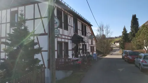
Kräutercafé
Cafe · Breakfast, Regional · 5.8 km
12 Geilenkausener Straße, Waldbröl
PH,Fr-Su 10:00-18:30
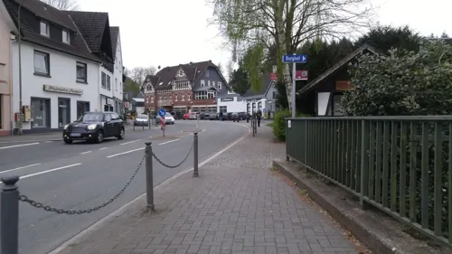
La Milano
Restaurant · Pizza · 5.0 km
35 Hauptstraße, Reichshof
Mo-Th 11:00-22:00; Fr 11:00-23:00; Sa 12:00-23:00; Su 12:00-22:00
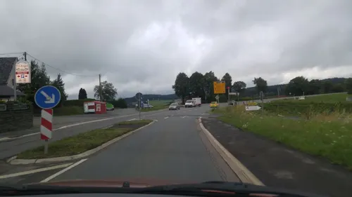
Tri Angeli
Restaurant · Indian, Italian · 5.6 km
1 Siegener Straße, Morsbach
We-Fr 11:30-14:00, 17:30-22:30; Sa 17:30-22:30; Su 11:30-14:30, 17:30-21:30
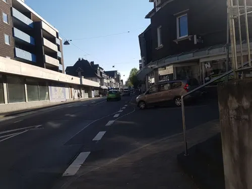
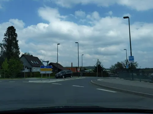
Hotel Boxberg
Restaurant · German · 1.3 km
113 Kaiserstraße, Waldbröl
Mo-Sa 11:00-15:00, 17:00-23:00; Su 17:00-23:00
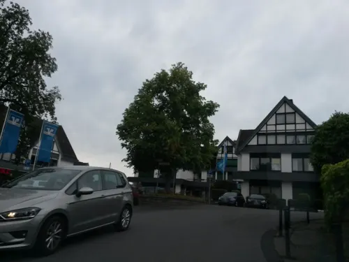



Schüler- und Jugendcafe Alte Schmiede
Cafe · 6.2 km
Christliches Schüler- und Jugendcafé des CVJM Nümbrecht.
10 Marktstraße, Nümbrecht
Mo-Fr 10:30-15:00, Fr 19:30-23:00
53 more on the map.
History
In 1131, the place was mentioned for the first time, as Waltprugele in a papal deed of ownership for the St. Cassius abbey in Bonn. In this document Pope Innocent II confirmed the Church's ownership and the ecclesiastical tithe (which later evolved into land tax and wealth tax). Back then, this housing estate belonged to the sphere of influence of the first counts of Berg, as well as of the first counts of Sayn. In the same year, construction began on a new Protestant church, whose steeple survives to the present day.
In 1174, Waldbröl came under the governance of Homburg, which was owned by the counts of Sayn. However, the property situation between the counts of Berg and of Sayn remained controversial.
The first reference to a Waldbröl citizen was in a document of 1212, when a priest named Wolradu resided there and made a donation to St. Michael's abbey in the Berg county.
In 1261, the knightly Isengarten dynasty was mentioned for the first time, followed by Diezenkausen in 1300 and Beuinghausen in 1323. They were long term ministers of the counts of Sayn and Berg and had received fiefs from them in the area of the modern town.
In 1314, Waldbröl experienced an epidemic plague and a big famine. The first modern districts of Waldbröl were mentioned in 1316.
In 1575, almost all today's districts were drawn on the map by Arnoldus Mercator.
From the History section of Waldbröl on Wikipedia, under CC BY-SA 4.0.
Where to stay11
DJH Jugendherberge Waldbröl „Panarbora“ - Naturerlebnispark
Motel and hotel · 1.9 km
1 Nutscheidstraße, Waldbröl
Churches and places of worship42
Katholische Kirche Heilig Geist
Church · Roman Catholic · 6.3 km
2 Friedhofstraße, Nümbrecht
Shopping18
Gas and EV charging6
Schools, colleges and libraries16
Healthcare7
Kreiskrankenhaus Waldbröl
Hospital · 1.1 km
10 Dr.-Goldenbogen-Straße, Waldbröl
Map of Waldbröl
250 places. The map loads OpenStreetMap tiles when you open it.
Getting there and nearby towns
Cologne Bonn Airport (CGN) is the nearest airport with scheduled flights listed in OpenStreetMap, 33 km away.
- Siegen 29 km east, about 29 min by car
- Wipperfürth 31 km northwest, about 31 min by car
- Wilnsdorf 35 km east, about 35 min by car
- Bergisch Gladbach 36 km west, about 36 min by car
- Bonn 40 km southwest, about 40 min by car
- Wermelskirchen 41 km northwest, about 41 min by car
- Zündorf 40 km west, about 40 min by car
- Remscheid 45 km northwest, about 45 min by car
- Köln 47 km west, about 47 min by car
- Leverkusen 48 km west, about 48 min by car
Drive times are estimates from straight-line distance, not routes.
Local news
Headlines from INDB.
Reviews, tips and questions
Loading what members have shared...
Sources and licences
- GeoNames (CC BY 4.0): population, coordinates, regions and time zone
- Mapillary (see each image): photos
- OpenStreetMap contributors (ODbL 1.0): places, airports, map data
- Wikidata (CC0 1.0): elevation, founding date, time zone, website
- Wikimedia Commons (see each image): photos
- Wikipedia (CC BY-SA 4.0): overview and history text
Photo credits
- Waldbröl 001, Wolkenkratzer, CC BY-SA 4.0
- Kreienbrink Orgel Waldbröl Spieltisch, Westeast94, CC BY-SA 4.0
- Denkmal für Anton Wilhelm Florentin von Zuccalmaglio in Waldbröl (Gesamtansicht), Wolfgang Stanglmeier, CC0
- Denkmal für Anton Wilhelm Florentin von Zuccalmaglio in Waldbröl (Zentrales Steinobjekt), Wolfgang Stanglmeier, CC0
- Denkmal für Anton Wilhelm Florentin von Zuccalmaglio in Waldbröl (Gedenktafel), Wolfgang Stanglmeier, CC0
- Denkmal für Anton Wilhelm Florentin von Zuccalmaglio in Waldbröl (Skulptur), Wolfgang Stanglmeier, CC0
- Gedenkstein für den Holocaust in Waldbröl, Wolfgang Stanglmeier, CC0
- Waldbröl-blick v markt, mrfinch, CC BY-SA 3.0
- Waldbröl, EIAB, Buddha-Garten 1, Rauenstein, CC BY-SA 3.0
- Etappenstein Waldbröl (am Ende der Etappe 10 des Bergischen Panoramasteigs), Wolfgang Stanglmeier, CC0
- Wegweiser in Waldbröl nördlich Wilhelmsthal am Bergischen Panoramasteig, Wolfgang Stanglmeier, CC0
- Audiostation "Elfen und Feen" am Waldmythenweg in Waldbröl, Wolfgang Stanglmeier, CC0
- Besucherzentrum im Panarbora-Park Waldbröl, Lutz Meyer, CC BY-SA 4.0
- Burg Bieberstein, Nach einer Skizze des Heimatdichters Wilhelm Idel , Wiehl (1849-1927), Public domain
- Reichshof Denklingen - Hauptstraße - Burg 01 ies, Frank Vincentz, CC BY-SA 3.0
- Evangelische Kirche Numbrecht, Sebastian Hirsch ( Diskussion ), CC BY-SA 3.0
- Besucherbergwerk, Bernd Olbertz, CC BY-SA 3.0
- Katholische Kirche Heilig Geist Nümbrecht, Gobalplayer, CC BY-SA 3.0
- Panarbora-Park 001, Wolkenkratzer, CC BY-SA 4.0
- Waldbröl, evangelische Kirche 2, Rauenstein, CC BY-SA 3.0
- Nümbrecht, Aussichtsturm Auf dem Lindchen, 003, wik k, Wolkenkratzer, CC BY-SA 4.0
- Berkenroth, evangelische Kirche, Rauenstein, CC BY-SA 3.0
- Denklingen, Evangelische Kirche, Rauenstein, CC BY-SA 3.0
- Winterborn, evangelische Kirche, Rauenstein, Public domain
- Harscheid, Evangelische Kirche 1, Rauenstein, CC BY-SA 3.0
- Waldbröl, Neuapostolische Kirche, Rauenstein, CC BY-SA 3.0
- Lichtenberg, Kirche St. Joseph, Rauenstein, Public domain
- Ev Kirche Numbrecht, Sebastian Hirsch ( Diskussion ), CC BY-SA 3.0
- Grube Silberhardt 1870 Panorama, Unknown author Unknown author, Public domain
- Aussichtsturm im Panarbora-Park, Lutz Meyer, CC BY-SA 4.0
- Mamiya RB67 Pro-S Medium Format 6×7 Camera, Thomas Depenbusch, CC BY 2.0
- Waldbroel Buecherzelle, Piccippi, CC BY-SA 4.0
- 2016-11-01-Panarbora-8794, Superbass, CC BY-SA 4.0
- 2016-11-01-Panarbora-8804, Superbass, CC BY-SA 4.0
- 2016-11-01-Panarbora-8802, Superbass, CC BY-SA 4.0
- Street-level photo, dmarci, CC BY-SA 4.0
- Street-level photo, dmarci, CC BY-SA 4.0
- Street-level photo, raymond, CC BY-SA 4.0
- Street-level photo, trockennasenaffe, CC BY-SA 4.0
- Street-level photo, uwekoch, CC BY-SA 4.0
- Street-level photo, littlefool, CC BY-SA 4.0
- Street-level photo, uwekoch, CC BY-SA 4.0
- Street-level photo, uwekoch, CC BY-SA 4.0


Page built November 8, 2026. Spotted a mistake? Tell us or suggest a place.