


Why visit Bestwig
Townapedia lists 199 museums and landmarks, 68 parks and trails, 59 places to eat, 20 places to stay and 54 attractions in and around town.
Highlights include Lörmecke-Turm, Gemeinheitskopf, Besucherbergwerk Ramsbeck and Heimatmuseum.
Weather in Bestwig
Forecast from MET Norway (CC BY 4.0). Full forecast
About Bestwig
Bestwig is a municipality in the Hochsauerland district, in North Rhine-Westphalia, Germany.
From the Wikipedia article Bestwig (this version), under CC BY-SA 4.0.
Things to do54


42 more on the map.
Museums and landmarks199


Heimatmuseum
Museum · 4.5 km
12 Mittelstraße, Meschede
Mar-Nov: Tu,Th,Sa,Su 15:00-17:00; Dec-Feb: Tu, Th, Sa, Su 15:00-16:00


Gedenkstein
Monument and historic site · 6.9 km
Gelände der Warsteiner Brauerei Haus Cramer KG


Schloss Gevelinghausen
Monument and historic site · 2.7 km
1 Schloßstraße, Olsberg


187 more on the map.
Parks, trails and playgrounds68




56 more on the map.
Restaurants and cafes59

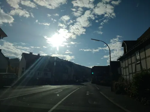
zur Post
Restaurant · German · 6.2 km
1 Markt, Olsberg
Tu-Th 11:30-15:00,17:30-22:00; Fr 11:30-15:00,17:30-24:00; Sa...
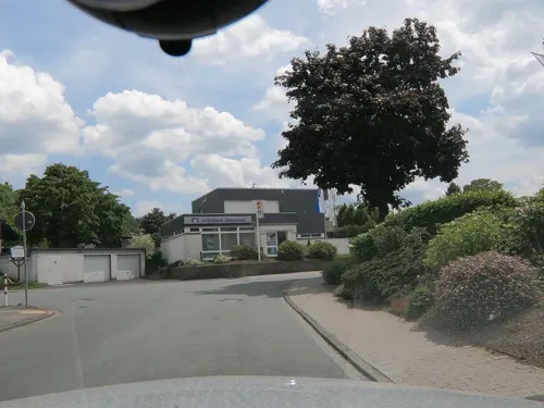
Dollenhof
Restaurant · 4.5 km
27a Mittelstraße, Meschede
Mo,We-Sa 12:00-14:00,17:00+; Su 10:30-14:00,17:00+; Tu off
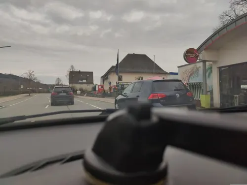
Eiscafé Schoko-Vanille
Cafe · Ice Cream · 0.9 km
104b Bundesstraße, Bestwig
Jun-Aug: Mo-Su 11:00-20:00
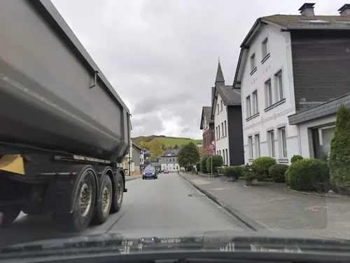
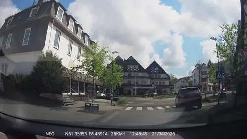
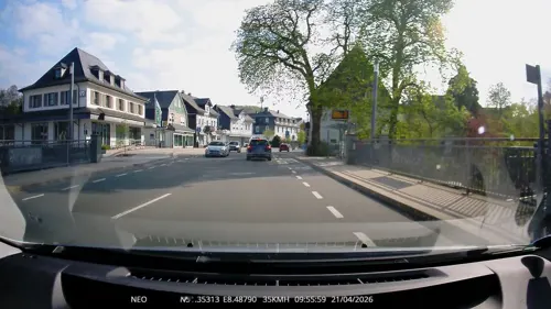

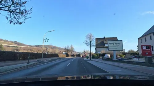
Knusperhäuschen
Bakery · 0.9 km
104a Bundesstraße, Bestwig
Mo-Fr 05:30-17:30; Sa 05:30-12:30; Su 07:00-11:00


47 more on the map.
Where to stay20
Churches and places of worship47
Lucienkapelle
Church · Roman Catholic · 4.4 km
2 Marktstraße, Meschede
Sankt Barbara
Church · Roman Catholic · 4.5 km
40 Dorfstraße, Bestwig
Sankt Johannes Evangelist
Church · Catholic · 4.6 km
15 Marktstraße, Meschede
Kirche der Evangeliumschristen-Baptisten Olsberg
Church · Baptist · 3.8 km
1 Zum Hohlen Morgen, Olsberg
Shopping18
Gas and EV charging8
Schools, colleges and libraries14
Healthcare7
Map of Bestwig
250 places. The map loads OpenStreetMap tiles when you open it.
Getting there and nearby towns
Airport Paderborn/Lippstadt (PAD) is the nearest airport with scheduled flights listed in OpenStreetMap, 32 km away.
- Wild Eagle map
- Olsberg 6 km east, about 6 min by car
- Meschede 8 km west, about 8 min by car
- Warstein 10 km north, about 10 min by car
- Brilon 12 km east, about 12 min by car
- Rüthen 15 km north, about 15 min by car
- Winterberg 21 km southeast, about 21 min by car
- Büren 24 km northeast, about 24 min by car
- Schmallenberg 24 km south, about 24 min by car
- Bad Wünnenberg 27 km northeast, about 27 min by car
- Erwitte 28 km north, about 28 min by car
Drive times are estimates from straight-line distance, not routes.
Local news
Headlines from INDB.
Reviews, tips and questions
Loading what members have shared...
Sources and licences
- GeoNames (CC BY 4.0): population, coordinates, regions and time zone
- Mapillary (see each image): photos
- OpenStreetMap contributors (ODbL 1.0): places, airports, map data
- Wikidata (CC0 1.0): elevation, founding date, time zone, website
- Wikimedia Commons (see each image): photos
- Wikipedia (CC BY-SA 4.0): overview and history text
Photo credits
- Bestwig 2010, Stefan Didam - Schmallenberg, CC BY-SA 3.0
- Erzbergwerk Ramsbeck Bestwig, Sauerland (8099820909), Heribert Pohl --- Thanks for half a million clicks! from Germering bei München, Bayern, CC BY-SA 2.0
- Bestwig Wasserturm Bf-04, Radler59, CC BY-SA 4.0
- Trainstation Bestwig (16181427867), Groman123, CC BY-SA 2.0
- 628 704 Bestwig, EveryPicture, CC BY-SA 3.0
- Bestwig Wasserturm Bf-03, Radler59, CC BY-SA 4.0
- Stellwerkbestwig, Pimvantend, CC BY-SA 3.0
- 29.03.93 Bestwig 218131 (49867600127), Phil Richards from London, UK, CC BY-SA 2.0
- Bestwig Wasserturm Bf-01, Radler59, CC BY-SA 4.0
- Bestwig Wasserturm Bf-02, Radler59, CC BY-SA 4.0
- Bahnbetriebswerk Bestwig (15622107533), Thomas Wensing, CC BY-SA 2.0
- Alter Wasserbehälter Bahnbetriebswerk Bestwig (15619492034), Thomas Wensing, CC BY-SA 2.0
- Lost Place, Bahnbetriebswerk Bestwig (15619592904), Thomas Wensing, CC BY-SA 2.0
- Bahnbetriebswerkbestwig, Pimvantend, CC BY-SA 3.0
- Inside View of Bahnbetriebswerk Bestwig (15518035039), Groman123, CC BY-SA 2.0
- Panorama of Bahnbetriebswerk Bestwig (15084531863), Groman123, CC BY-SA 2.0
- NSG Bestwiger Ruhrtal fd (11), Friedhelm Dröge, CC BY-SA 4.0
- NSG Bestwiger Ruhrtal fd (12), Friedhelm Dröge, CC BY-SA 4.0
- NSG Bestwiger Ruhrtal fd (10), Friedhelm Dröge, CC BY-SA 4.0
- NSG Bestwiger Ruhrtal fd (9), Friedhelm Dröge, CC BY-SA 4.0
- Eversberg (Meschede - Germany) (7), Dickelbers, CC BY-SA 3.0
- Bestwig Kirche Christkönig, Stefan Didam - Schmallenberg, CC BY-SA 3.0
- Schloss Gevelinghausen-3, No machine-readable author provided. Wolfgang Poguntke assumed (based on copyright claims)., CC BY-SA 3.0
- Erzbergwerk Ramsbeck, Stefan Didam - Schmallenberg, CC BY-SA 3.0
- Lörmecke-Turm, Jörg Braukmann, CC BY-SA 4.0
- Olsberg-GevelinghausenHeimatmuseum1-Asio, Asio otus, CC BY-SA 3.0
- Schloss Antfeld Innenhof, Wolfgang Poguntke, CC BY 3.0
- Meschede-Eversberg St. Johannes Evangelist Sauerland-Ost 391, Michael Kramer, CC BY-SA 3.0
- Bestwig-Andreasberg St. Barbara Sauerland-Ost 373, Michael Kramer, CC BY-SA 3.0
- Ramsbeck kath. Kirche, machahn, CC BY 3.0
- Alexanderstollen (Ostwig), Stefan Didam - Schmallenberg, CC BY-SA 3.0
- First Drop der Devil's Mine, Pilzchen1813, CC BY-SA 3.0
- Reste des Burghauses Beringhausen (Meschede), Stefan Didam - Schmallenberg, CC BY-SA 4.0
- St.Andreas-Kirche in Bestwig-Velmede, Friedhelm Dröge, CC BY-SA 3.0 de
- St.Anna Nuttlar fd (1) a, Friedhelm Dröge, CC BY-SA 4.0
- St.Lucia Kapelle Eversberg, Friedhelm Dröge, CC BY 3.0
- NSG Alert fd (2), Friedhelm Dröge, CC BY-SA 4.0
- Landschaftsschutzgebiet Grünlandgürtel am Südfeld 9, Martin Lindner, CC BY-SA 4.0
- Burg Eversberg-01, Muck, CC BY-SA 4.0
- Olsberg-Antfeld Schloss Antfeld Sauerland-Ost 356, Michael Kramer, CC BY-SA 3.0
- Kirche St. Martin Bigge, Wolfgang Poguntke, CC BY-SA 3.0
- Ramsbeck ev. Kirche, Machahn, CC BY 3.0
- Eversberg Heimatmuseum front, Arnoldius, CC BY-SA 3.0
- Street-level photo, poxonline, CC BY-SA 4.0
- Street-level photo, uwekoch, CC BY-SA 4.0
- Street-level photo, thetornado76, CC BY-SA 4.0
- Street-level photo, poxonline, CC BY-SA 4.0
- Street-level photo, Cybora, CC BY-SA 4.0
- Street-level photo, chuck, CC BY-SA 4.0
- Street-level photo, steinm, CC BY-SA 4.0
- Street-level photo, TechniPorter, CC BY-SA 4.0
- Street-level photo, TechniPorter, CC BY-SA 4.0
- Street-level photo, TechniPorter, CC BY-SA 4.0
- Street-level photo, chuck, CC BY-SA 4.0
- Street-level photo, thetornado76, CC BY-SA 4.0
- Street-level photo, TechniPorter, CC BY-SA 4.0
- Street-level photo, thetornado76, CC BY-SA 4.0
- Street-level photo, commodoortje, CC BY-SA 4.0
- Street-level photo, nrailuj, CC BY-SA 4.0


Page built November 8, 2026. Spotted a mistake? Tell us or suggest a place.