


Betzdorf, Germany
Verbandsgemeinde Betzdorf
Betzdorf is a town of 10,560 people in Rheinland-Pfalz, Germany.
Why visit Betzdorf
Townapedia lists 39 museums and landmarks, 22 parks and trails, 47 places to eat, 3 places to stay and 16 attractions in and around town.
Highlights include Druidenstein, Alter Bornskopf, Heimatmuseum Kirchen and Freusburg.
Weather in Betzdorf
Forecast from MET Norway (CC BY 4.0). Full forecast
About Betzdorf
Betzdorf is a former Verbandsgemeinde ("collective municipality") in the district of Altenkirchen, in Rhineland-Palatinate, Germany. On 1 January 2017 it merged into the new Verbandsgemeinde Betzdorf-Gebhardshain. The seat of the Verbandsgemeinde was in Betzdorf.
From the Wikipedia article Betzdorf (Verbandsgemeinde) (this version), under CC BY-SA 4.0.
Things to do16





4 more on the map.
Museums and landmarks39

Heimatmuseum Kirchen
Museum · 2.0 km
7 Wiesenstraße, Kirchen (Sieg)
"Die ersten drei Sonntage im Monat von 14:00 bis 17:00 Uhr, sonst...





Feldbahnlok Denkmal
Monument and historic site · 2.1 km
Feldbahn-Lok auf einem kleinen (Denkmal-) Sockel
27 more on the map.
Parks, trails and playgrounds22




Abbarena
Park · 4.0 km
Öffentlicher Versammlungsplatz für kulturelle Veranstaltungen der Freusburger Vereine
Burgstraße, Freusburg

Freizeitbad Molzberg
Sports field and stadium · 1.2 km
6 Auf dem Molzberg, Kirchen (Sieg)
10 more on the map.
Restaurants and cafes47

Öli
Restaurant · Regional · 3.3 km
8 Grubenstraße, Betzdorf
Mo 18:00+, Tu-Sa 14:00+, Su,PH 10:30-21:00
Schneider's Bäckerei
Cafe · Ice Cream · 1.8 km
15 Bahnhofstraße, Kirchen (Sieg)
Mo-Fr 06:00-18:00; Sa 06:30-14:00; Su 08:00-17:00
SiegLinde
Bar and pub
11 Bahnhofstraße, Betzdorf
Tu-We 18:00-22:30; Th 18:00-24:00; Fr-Sa 18:00-02:00; Su...
Anadolu Pizza Kebap Haus
Restaurant · Pizza, Kebab, Turkish
2 Klosterhof, Betzdorf
Mo,We-Fr 11:00-14:00,17:00-22:00

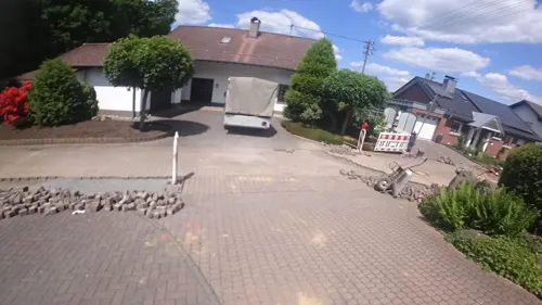
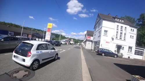
ME TIME Café I Eventbar
Bar and pub
57 Wilhelmstraße, Betzdorf
Tu off; Mo-Th 17:00-23:00; Fr-Sa 17:00-01:00; Su 17:00-23:00
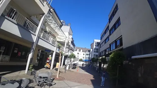
Pizzeria Italia
Restaurant · Pizza
Konrad-Adenauer-Platz, Betzdorf
Mo-Fr 11:30-14:30,17:30-22:00; We off; Sa 11:30-13:30,17:30-22:00;...
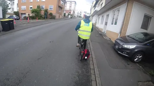
Pizzeria Royal
Restaurant · Italian
1 Schützenstraße, Betzdorf
off
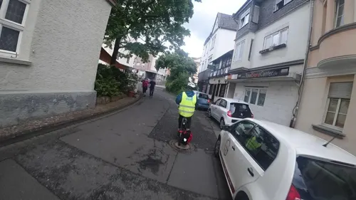


Schankwirtschaft zur Linde
Bar and pub
4 Klosterhof, Betzdorf
Mo off; Tu off; We-Th 18:00-22:00; Fr-Sa 18:00-04:00; Su 15:00-21:00

35 more on the map.
Where to stay3
Churches and places of worship22
St. Franziskus v. Assisi
Church · Roman Catholic · 2.2 km
17a Kirchstraße, Scheuerfeld
Christuskirche
Church · Protestant · 3.4 km
46 Heinrich-Klostermann-Straße, Kirchen (Sieg)
Shopping14
Gas and EV charging4
Schools, colleges and libraries15
Adolph-Kolping-Schule Grundschule Kirchen-Wehbach
School · 3.3 km
5 Adolph-Kolping-Straße, Kirchen (Sieg)
Integrierte Gesamtschule Betzdorf-Kirchen
School · 0.8 km
64 Kirchener Straße, Betzdorf
Healthcare5
Map of Betzdorf
187 places. The map loads OpenStreetMap tiles when you open it.
Getting there and nearby towns
Siegerlandflughafen (SGE) is the nearest airport with scheduled flights listed in OpenStreetMap, 18 km away.
- Neunkirchen 9 km east, about 9 min by car
- Freudenberg 12 km north, about 12 min by car
- Morsbach 13 km northwest, about 13 min by car
- Siegen 14 km northeast, about 14 min by car
- Burbach 15 km east, about 15 min by car
- Wilnsdorf 16 km east, about 16 min by car
- Waldbröl 20 km northwest, about 20 min by car
- Kreuztal 21 km northeast, about 21 min by car
- Netphen 21 km northeast, about 21 min by car
- Haiger 24 km east, about 24 min by car
Drive times are estimates from straight-line distance, not routes.
Local news
Headlines from INDB.
Reviews, tips and questions
Loading what members have shared...
Sources and licences
- GeoNames (CC BY 4.0): population, coordinates, regions and time zone
- Mapillary (see each image): photos
- OpenStreetMap contributors (ODbL 1.0): places, airports, map data
- Wikidata (CC0 1.0): elevation, founding date, time zone, website
- Wikimedia Commons (see each image): photos
- Wikipedia (CC BY-SA 4.0): overview and history text
Photo credits
- Blick auf Betzdorf (Sieg), MattesKoeln, CC BY-SA 4.0
- Wilhelmstr 38, Klosterhofstr 2 Betzdorf, MattesKoeln, CC BY-SA 4.0
- Schuetzenstr 1 Betzdorf, MattesKoeln, CC BY-SA 4.0
- Busse in Betzdorf (Sieg), Saviour1981, CC BY-SA 3.0
- Konrad-Adenauer-Gedenktafel Betzdorf 4670, Saviour1981, CC BY-SA 3.0
- Ev. Kreuzkirche Betzdorf, Hohenbetzdorf, MattesKoeln, CC BY-SA 4.0
- Bahnhof Betzdorf (Sieg), Saviour1981, CC BY-SA 3.0
- Weg des Erinnerns Betzdorf-photo-1, Velopilger, CC0
- Weg des Erinnerns Betzdorf-photo-2, Velopilger, CC0
- Weg des Erinnerns Betzdorf-photo-3, Velopilger, CC0
- Info Tafel Am Betzdorfer Hauptbahnhof zum Neuen Gleis, Freasikx, CC0
- 2026 St. Ignatius (Betzdorf) foto-10, Velopilger, CC0
- Sankt-Barbara-Tunnel Betzdorf 4671, Saviour1981, CC BY-SA 3.0
- 2026 St. Ignatius (Betzdorf) foto-3, Velopilger, CC0
- 2026 St. Ignatius (Betzdorf) foto-1, Velopilger, CC0
- 2026 St. Ignatius (Betzdorf) foto-2, Velopilger, CC0
- 2026 St. Ignatius (Betzdorf) foto-4, Velopilger, CC0
- 2026 St. Ignatius (Betzdorf) foto-7, Velopilger, CC0
- 2026 St. Ignatius (Betzdorf) foto-5, Velopilger, CC0
- 2026 St. Ignatius (Betzdorf) foto-8, Velopilger, CC0
- 2026 St. Ignatius (Betzdorf) foto-9, Velopilger, CC0
- 2026 St. Ignatius (Betzdorf) foto-6, Velopilger, CC0
- Jüdischer Friedhof (Betzdorf) Foto-6, Velopilger, CC0
- Jüdischer Friedhof (Betzdorf) Foto-1, Velopilger, CC0
- Jüdischer Friedhof (Betzdorf) Foto-9, Velopilger, CC0
- Jüdischer Friedhof (Betzdorf) Foto-8, Velopilger, CC0
- Jüdischer Friedhof (Betzdorf) Foto-7, Velopilger, CC0
- Jüdischer Friedhof (Betzdorf) Foto-3, Velopilger, CC0
- FreusburgCastle2005, GMcGath at English Wikipedia, CC BY-SA 2.5
- Naturdenkmal Druidenstein, Kirchen an der Sieg 5, Dekanda, CC BY-SA 3.0
- ImHeimatmuseumKirchen, Daderich, Public domain
- St. Ignatius, Frank Jelenowski, CC BY-SA 3.0
- Windhahn, Tec1844, CC BY-SA 4.0
- Steinerother Kopf, Matthias Schaefgen, CC BY-SA 3.0
- Kreuzkirche Betzdorf, Dbawwsnrw, CC BY 3.0
- AlsdorfWesterwaldStPeterPaul5, LigaDue, CC BY-SA 4.0
- Kirchen (Sieg), Martin-Luther-Kirche, Rauenstein, CC BY-SA 3.0
- ScheuerfeldSiegStFranziskus1, LigaDue, CC BY-SA 4.0
- In der Graureiherkolonie, Erich Schmitt, CC BY-SA 3.0
- NSG Im Geraum, Matthias Schaefgen, CC BY-SA 4.0
- Kirchen, die Pfarrkirche Sankt-Michael Dm foto12 2017-06-03 13.37, Michielverbeek, CC BY-SA 4.0
- Stolperstein Kirchen Bahnhofstraße 24 Emma Moses, Tomtom10, CC BY-SA 4.0
- Stolperstein Kirchen Bahnhofstraße 24 Julius Moses, Tomtom10, CC BY-SA 4.0
- Stolperstein Kirchen Bahnhofstraße 24 Otto G Moses, Tomtom10, CC BY-SA 4.0
- Street-level photo, slp_gho, CC BY-SA 4.0
- Street-level photo, changchun1, CC BY-SA 4.0
- Street-level photo, changchun1, CC BY-SA 4.0
- Street-level photo, changchun1, CC BY-SA 4.0
- Street-level photo, michellefritz, CC BY-SA 4.0
- Street-level photo, slp_gho, CC BY-SA 4.0
- Street-level photo, slp_gho, CC BY-SA 4.0
- Street-level photo, slp_gho, CC BY-SA 4.0
- Street-level photo, michellefritz, CC BY-SA 4.0
- Street-level photo, changchun1, CC BY-SA 4.0
- Street-level photo, changchun1, CC BY-SA 4.0
- Street-level photo, troher15, CC BY-SA 4.0
- Street-level photo, michellefritz, CC BY-SA 4.0
- Street-level photo, vrantopoulos, CC BY-SA 4.0
- Street-level photo, slp_gho, CC BY-SA 4.0
- Street-level photo, slp_gho, CC BY-SA 4.0
- Street-level photo, changchun1, CC BY-SA 4.0
- Street-level photo, slp_gho, CC BY-SA 4.0
- Street-level photo, michellefritz, CC BY-SA 4.0
- Street-level photo, michellefritz, CC BY-SA 4.0
- Street-level photo, michellefritz, CC BY-SA 4.0
- Street-level photo, changchun1, CC BY-SA 4.0
- Street-level photo, slp_gho, CC BY-SA 4.0
- Street-level photo, michellefritz, CC BY-SA 4.0
- Street-level photo, changchun1, CC BY-SA 4.0
- Street-level photo, slp_gho, CC BY-SA 4.0
- Street-level photo, michellefritz, CC BY-SA 4.0
- Street-level photo, ottokar, CC BY-SA 4.0
- Street-level photo, slp_gho, CC BY-SA 4.0


Page built November 8, 2026. Spotted a mistake? Tell us or suggest a place.