


Neunkirchen, Germany
Neunkirchen is a town of 14,225 people in North Rhine-Westphalia, Germany.
Why visit Neunkirchen
Townapedia lists 42 museums and landmarks, 24 parks and trails, 71 places to eat, 5 places to stay and 26 attractions in and around town.
Highlights include Apollo-Theater, Gilbergturm, Wodanstolln and Museum des Freien Grundes.
Weather in Neunkirchen
Forecast from MET Norway (CC BY 4.0). Full forecast
About Neunkirchen
Neunkirchen (German: [ˈnɔʏnkɪʁçn̩] ; English: "New Church") is a municipality in the Siegen-Wittgenstein district, in North Rhine-Westphalia, Germany.
From the Wikipedia article Neunkirchen (Siegerland) (this version), under CC BY-SA 4.0.
Things to do26

Apollo-Theater
Cinema and theater · 8.3 km
Theatre in Siegen, Germany, built 2005-2007 on the site of the former Apollo cinema, with only the older building's facade remaining








14 more on the map.
Museums and landmarks42


Museum des Freien Grundes
Museum · 1.0 km
2 Am Leyhof, Neunkirchen
"Unregelmäßig u. auf Nachfrage / Bekanntgabe"

30 more on the map.
Parks, trails and playgrounds24


12 more on the map.
Restaurants and cafes71

Köppel
Restaurant · German · 4.4 km
1 Hohenseelbachskopf, Neunkirchen
We,Th 16:00-19:00; Fr 16:00+; Sa,Su 12:00+
Gästehaus Engel
Restaurant · German · 5.6 km
2 Am Hilchenbach, Wilnsdorf
Mo-Sa 16:00-22:00; Su 11:30-21:00; Tu off

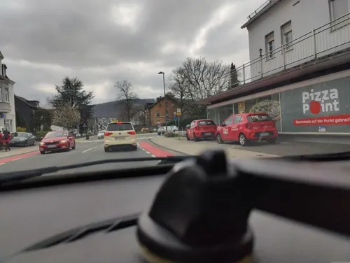
Gasthof Zur Post
Restaurant · 4.5 km
399 Eiserfelder Straße, Siegen
Tu-Sa 17:00-24:00; Su 11:00-14:00,17:00-23:00; Mo off
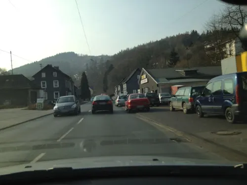



Zum Alten Bahnhof
Bar and pub · 5.2 km
290 Eiserfelder Straße, Siegen
Tu-Th 17:00-22:00; Fr,Sa 17:00-18:00+
59 more on the map.
History
Neunkirchen had its first documentary mention on 23 August 1288.
From the History section of Neunkirchen (Siegerland) on Wikipedia, under CC BY-SA 4.0.
Where to stay5
Churches and places of worship29
Shopping22
Gas and EV charging7
Tankstation Struthütten 24h Tankautomat
Gas station · 2.4 km
52 Kölner Straße, Neunkirchen
Schools, colleges and libraries14
Gymnasium auf der Morgenröthe; Realschule Am Hengsberg
School · 5.5 km
100 Höllenwaldstraße, Siegen
Healthcare9
Map of Neunkirchen
249 places. The map loads OpenStreetMap tiles when you open it.
Getting there and nearby towns
Siegerlandflughafen (SGE) is the nearest airport with scheduled flights listed in OpenStreetMap, 12 km away.
- Wilnsdorf 7 km east, about 7 min by car
- Siegen 8 km north, about 8 min by car
- Haiger 16 km southeast, about 16 min by car
- Dillenburg 21 km east, about 21 min by car
- Herborn 25 km southeast, about 25 min by car
- Olpe 28 km north, about 28 min by car
- Waldbröl 28 km west, about 28 min by car
- Nümbrecht 34 km west, about 34 min by car
- Ruppichteroth 37 km west, about 37 min by car
- Biedenkopf 39 km east, about 39 min by car
Drive times are estimates from straight-line distance, not routes.
Local news
Headlines from INDB.
Reviews, tips and questions
Loading what members have shared...
Sources and licences
- GeoNames (CC BY 4.0): population, coordinates, regions and time zone
- Mapillary (see each image): photos
- OpenStreetMap contributors (ODbL 1.0): places, airports, map data
- Wikidata (CC0 1.0): elevation, founding date, time zone, website, landmarks and historic places
- Wikimedia Commons (see each image): photos
- Wikipedia (CC BY-SA 4.0): overview and history text
Photo credits
- Heimatmuseum Neunkirchen, Dbawwsnrw, CC BY 3.0
- Grube Wodan Neunkirchen-Salchendorf, Thariama, CC BY-SA 4.0
- Tafel Karte Bergmannspfad Neunkirchen-Salchendorf, Thariama, CC BY-SA 4.0
- Grube Arbach Oberer Stollen Neunkirchen-Salchendorf, Thariama, CC BY-SA 4.0
- Grube Bergmannshoffnung Tiefer Stollen Neunkirchen-Salchendorf, Thariama, CC BY-SA 4.0
- Grube Bergmannshoffnung Oberer Stollen Neunkirchen-Salchendorf, Thariama, CC BY-SA 4.0
- Grube Bergmannshoffnung Halde Oberer Stollen Neunkirchen-Salchendorf, Thariama, CC BY-SA 4.0
- Grube Bergmannshoffnung Oberer Stollen2 Neunkirchen-Salchendorf, Thariama, CC BY-SA 4.0
- Apollo-Theater Siegen dima, dima, Public domain
- Autobahnkirche Siegerland 06, Jan-Herm Janßen, CC BY-SA 3.0
- Evangelische Kirche Wilnsdorf Oktober 2010, Dbawwsnrw, CC BY 3.0
- Eisernhardt, Dbawwsnrw, CC BY 3.0
- Gilberg, Dbawwsnrw, CC BY 3.0
- Hellerberg vom Salchendorfer Ehrenmal, Dbawwsnrw, CC BY 3.0
- Windhahn, Tec1844, CC BY-SA 4.0
- Pfannenberg vom Leyenkopf, Dbawwsnrw, CC BY 3.0
- SI-Eiserfeld Pfannenbergturm-Totale 1, Frank Behnsen, CC BY-SA 3.0
- Herdorf, katholische Kirche, Rauenstein, CC BY-SA 3.0
- Gilbergturm-01, Muck, CC BY-SA 4.0
- Evangelische Kirche Wilden, Dbawwsnrw, CC BY-SA 3.0
- Nsg malscheid, M.Buschmann, Public domain
- Malscheid vom Salchendorfer Ehrenmal, Dbawwsnrw, CC BY 3.0
- Wodanstolln, Dbawwsnrw, CC BY 3.0
- Siegen Zeughaus Fassade, Frank Behnsen, CC BY 3.0
- Pfannenbergturm-01a, Muck, CC BY-SA 4.0
- ISS045-E-32281 - View of Earth, Earth Science and Remote Sensing Unit , Lyndon B. Johnson Space Center, Public domain
- ISS066-E-184281 - View of Earth, Earth Science and Remote Sensing Unit , Lyndon B. Johnson Space Center, Public domain
- ISS065-E-391570 - View of Earth, Earth Science and Remote Sensing Unit , Lyndon B. Johnson Space Center, Public domain
- ISS065-E-396144 - View of Earth, Earth Science and Remote Sensing Unit , Lyndon B. Johnson Space Center, Public domain
- ISS045-E-32282 - View of Earth, Earth Science and Remote Sensing Unit , Lyndon B. Johnson Space Center, Public domain
- ISS065-E-393481 - View of Earth, Earth Science and Remote Sensing Unit , Lyndon B. Johnson Space Center, Public domain
- ISS066-E-184282 - View of Earth, Earth Science and Remote Sensing Unit , Lyndon B. Johnson Space Center, Public domain
- ISS031-E-66466 - View of Earth, Earth Science and Remote Sensing Unit , Lyndon B. Johnson Space Center, Public domain
- ISS066-E-184283 - View of Earth, Earth Science and Remote Sensing Unit , Lyndon B. Johnson Space Center, Public domain
- Luftschutzbunker Salchendorf, Thariama, CC BY-SA 4.0
- Grube Arbach Tiefer Stollen2 Salchendorf, Thariama, CC BY-SA 4.0
- Grube Arbach Tiefer Stollen Salchendorf, Thariama, CC BY-SA 4.0
- Siegen Pfannenbergturm, Bob Ionescu, Attribution
- Pfannenbergturm-01, Muck, CC BY-SA 4.0
- Pfannenbergturm-02-Zugang, Muck, CC BY-SA 4.0
- Street-level photo, ottokar, CC BY-SA 4.0
- Street-level photo, baldur80, CC BY-SA 4.0
- Street-level photo, changchun1, CC BY-SA 4.0
- Street-level photo, ottokar, CC BY-SA 4.0
- Street-level photo, ottokar, CC BY-SA 4.0
- Street-level photo, ottokar, CC BY-SA 4.0
- Street-level photo, ottokar, CC BY-SA 4.0
- Street-level photo, ottokar, CC BY-SA 4.0
- Street-level photo, ottokar, CC BY-SA 4.0
- Street-level photo, baldur80, CC BY-SA 4.0
- Street-level photo, baldur80, CC BY-SA 4.0
- Street-level photo, changchun1, CC BY-SA 4.0
- Street-level photo, poxonline, CC BY-SA 4.0
- Street-level photo, ottokar, CC BY-SA 4.0
- Street-level photo, ottokar, CC BY-SA 4.0
- Street-level photo, changchun1, CC BY-SA 4.0
- Street-level photo, changchun1, CC BY-SA 4.0


Page built November 8, 2026. Spotted a mistake? Tell us or suggest a place.