


Why visit Biesenthal
Townapedia lists 32 museums and landmarks, 11 parks and trails, 28 places to eat, 6 places to stay and 12 attractions in and around town.
Highlights include Der Hofladen, Hofladen Wilde Gärtnerei, Schloss Lanke and Heimatmuseum.
Weather in Biesenthal
Forecast from MET Norway (CC BY 4.0). Full forecast
About Biesenthal
Biesenthal (German pronunciation: [ˈbiːzn̩ˌtaːl] ) is a town in the district of Barnim in Brandenburg, Germany. It is the administrative seat of the Amt ("collective municipality") Amt Biesenthal-Barnim.
From the Wikipedia article Biesenthal (this version), under CC BY-SA 4.0.
Photos of Biesenthal


Things to do12
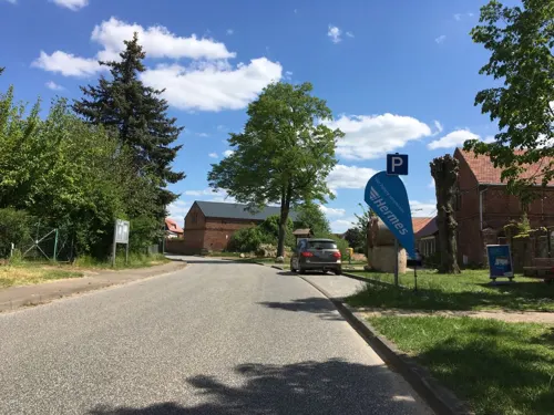
Der Hofladen
Farm and orchard · 3.9 km
Hausgemachte Fruchtaufstriche, Gelees, Obstsäfte, Liköre, Eier, Kräuteressige, Kräuteröle, hausgemachte Wurst
22 Dorfstraße, Biesenthal
May-Dec Tu-Fr 09:00-18:00, May-Dec Sa 08:00-18:00, May-Dec Su,PH...




Museums and landmarks32

Kaiser-Friedrich-Turm
Monument and historic site · 1.2 km
Apr-Oct: Mo-Su 09:00-19:00


Christus
Monument and historic site · 5.4 km
Replik der Christus-Figur "Christus Consolator" von Bertel Thorvaldsen in der Frauenkirche von Kopenhagen.

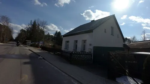


Dedicated to the Czech forced laborers in Camp Heideberg
Monument and historic site · 1.2 km
20 more on the map.
Parks, trails and playgrounds11





Restaurants and cafes28
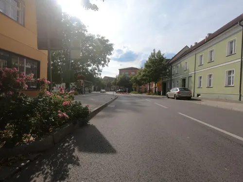
Café am Markt
Cafe · Coffee Shop, Sandwich · 0.8 km
Café, Espressobar und Bioladen
1 August-Bebel-Straße, Biesenthal
Mo-Tu,Th,Sa 10:30-18:00; Fr,Su 10:00-18:00; We off
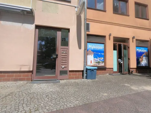
Taverna Mykonos
Restaurant · Greek · 0.9 km
29 August-Bebel-Straße, Biesenthal
Apr-Sep Tu-Su 11:30-23:00; Apr-Sep PH 11:30-22:00; Oct-Mar Tu-Sa...
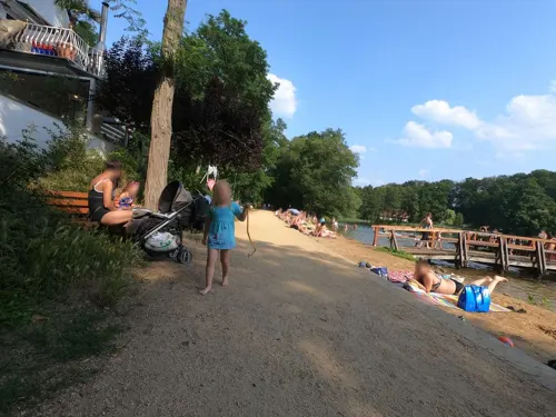
Uli's Fischhaus
Cafe · Regional · 5.9 km
3-4 Am Obersee, Wandlitz
May-Oct We-Su,PH 12:00-21:00+; Nov-Apr Sa-Su,PH 12:00-20:00+
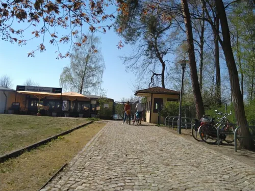

Bellevue
Restaurant · German, Hungarian, Regional · 5.5 km
17 Lanker Dorfstraße, Wandlitz
We-Mo 12:00-18:00
Zum Spilling
Restaurant · German · 5.1 km
34 Bernauer Straße, Rüdnitz
Th 17:00-21:00; Fr 17:00-22:00; Sa 11:00-21:00; PH,Su 11:00-20:00
Restaurant "Van Wachtel" Golf Course Prenden
Restaurant · 5.8 km
3 Waldweg, Wandlitz
Dec 01-Mar 31 off
Ristorante Salute
Restaurant · Italian
1 Plottkeallee, Biesenthal
Tu-Fr 16:00-23:00; Sa,Su 11:30-23:00

Zum Schloßberg
Cafe · 1.1 km
10 Breite Straße, Biesenthal
Mo-Fr 06:00-16:30; Sa,Su 07:30-17:00
Auszeit
Cafe · 0.9 km
67 Breite Straße, Biesenthal
Apr-Sep: We-Su 12:00-18:00; Oct-Mar: Fr-Su 12:00-18:00+
16 more on the map.
History
In the early Middle Ages, the region was settled by Polabian Slavs. Conquered by the Ascanian margraves of Brandenburg, Bizdal was first mentioned in a 1258 deed. A local parish was already documented in 1265; the present-day fieldstone church was probably erected at this time. The settlement on the Via Imperii trade route to Berlin was vested with market rights by Margrave John V in 1315.
A castle was mentioned in 1337, when it was first founded, it went under the name of Askanierburg. it was purchased by the Hohenzollern elector John George of Brandenburg in 1577. Its ruins were cleared away after the Thirty Years' War, only ground walls remained. In 1907, a view tower (Kaiser-Friedrich-Turm) was erected on the castle hill.
During the 18th century, the townscape was devastated by several blazes. From 1815 to 1947, Biesenthal was part of the Prussian Province of Brandenburg. The economic development was decisively promoted by the opening of the Berlin–Stettin railway line in 1843. In World War II, a subcamp of the Sachsenhausen concentration camp was located here. The town was occupied by Red Army forces in 1945 and became part of the Soviet occupation zone. From 1947 to 1952, Biesenthal was part of the State of Brandenburg, from 1952 to 1990 of the Bezirk Frankfurt of East Germany and since 1990 again of Brandenburg.
From the History section of Biesenthal on Wikipedia, under CC BY-SA 4.0.
More about Biesenthal
Geography
The town is located on the Finow river, about 31 km (19 mi) northeast of Berlin (centre). The surrounding Biesenthal Basin is part of the Barnim Plateau and the Barnim Nature Park, characterised by numerous kames and glacial lakes stemming from the Weichselian glaciation.
From the Wikipedia article Biesenthal, under CC BY-SA 4.0.
Notable people from Biesenthal
 Jürgen PaekeEast German gymnastPhoto: Liebers, Peter, CC BY-SA 3.0 de
Born in Biesenthal, according to Wikidata (CC0). Each name links to its Wikipedia article.
Where to stay6
Jagdhotel am Strehlesee
Motel and hotel · 6.5 km
48 Prendener Dorfstraße, Wandlitz
Churches and places of worship11
St. Marien Biesenthal
Church · Roman Catholic
161 Bahnhofstraße, Biesenthal
Shopping8
Gas and EV charging2
Schools, colleges and libraries7
Healthcare2
Map of Biesenthal
119 places. The map loads OpenStreetMap tiles when you open it.
Getting there and nearby towns
Berlin Brandenburg Airport "Willy Brandt" (BER) is the nearest airport with scheduled flights listed in OpenStreetMap, 46 km away.
- Bernau bei Berlin 10 km south, about 10 min by car
- Wandlitz 13 km west, about 13 min by car
- Eberswalde 14 km northeast, about 14 min by car
- Werneuchen 16 km south, about 16 min by car
- Oranienburg 26 km west, about 26 min by car
- Strausberg 27 km southeast, about 27 min by car
- Hohen Neuendorf 27 km west, about 27 min by car
- Birkenwerder 26 km west, about 26 min by car
- Berlin 31 km southwest, about 31 min by car
- Zehdenick 32 km northwest, about 32 min by car
Drive times are estimates from straight-line distance, not routes.
Towns near Biesenthal


Keep exploring
Local news
Headlines from INDB.
Reviews, tips and questions
Loading what members have shared...
Sources and licences
- GeoNames (CC BY 4.0): population, coordinates, regions and time zone
- Mapillary (see each image): photos
- OpenStreetMap contributors (ODbL 1.0): places, airports, map data
- Wikidata (CC0 1.0): elevation, founding date, time zone, website
- Wikimedia Commons (see each image): photos
- Wikipedia (CC BY-SA 4.0): overview and history text
Photo credits
- Ev-kirche-biesenthal-rr, Marcela ( talk ), GFDL 1.2
- Biesenthal Sankt Marien 04, Olaf Tausch, CC BY 3.0
- Skulptur Bahnhofstr 9 (Biesenthal) Menschen im Kreis&Andrzej Kolodziejcyk&20173, OTFW , Berlin, CC BY-SA 3.0
- Skulptur Bahnhofstr 9 (Biesenthal) Menschen im Kreis&Andrzej Kolodziejcyk&2017, OTFW , Berlin, CC BY-SA 3.0
- Skulptur Bahnhofstr 9 (Biesenthal) Menschen im Kreis&Andrzej Kolodziejcyk&20174, OTFW , Berlin, CC BY-SA 3.0
- Skulptur Bahnhofstr 9 (Biesenthal) Menschen im Kreis&Andrzej Kolodziejcyk&20175, OTFW , Berlin, CC BY-SA 3.0
- Skulptur Bahnhofstr 9 (Biesenthal) Menschen im Kreis&Andrzej Kolodziejcyk&20172, OTFW , Berlin, CC BY-SA 3.0
- Skulptur Plottkeallee 3 (Biesenthal) Stiller Held&Klára Nesládková&20203, OTFW , Berlin, CC BY-SA 3.0
- Skulptur Plottkeallee 3 (Biesenthal) Stiller Held&Klára Nesládková&2020, OTFW , Berlin, CC BY-SA 3.0
- Skulptur Plottkeallee 3 (Biesenthal) Stiller Held&Klára Nesládková&20202, OTFW , Berlin, CC BY-SA 3.0
- Biesenthal - St. Marien von Südwesten, Werner Buzan, CC BY-SA 4.0
- Wasserturm Biesenthal, Krank-Hover, CC BY-SA 4.0
- Biesenthal Wasserturm, Oberlausitzerin64, CC BY-SA 4.0
- Denkmal Grünstr 22 (Biesenthal) Pflasterdenkmal&&20082, OTFW , Berlin, CC BY-SA 3.0
- Denkmal Grünstr 22 (Biesenthal) Pflasterdenkmal&&2008, OTFW , Berlin, CC BY-SA 3.0
- Denkmal Grünstr 22 (Biesenthal) Pflasterdenkmal&&20083, OTFW , Berlin, CC BY-SA 3.0
- Schul- und Rektorhaus in Biesenthal, Krank-Hover, CC BY-SA 4.0
- Biesenthal Kaisereiche, Fridolin freudenfett (Peter Kuley), CC BY-SA 3.0
- Biesenthal Am Markt, Fridolin freudenfett (Peter Kuley), CC BY-SA 3.0
- Biesenthal Jubiläumseiche, Assenmacher, CC BY-SA 4.0
- Biesenthal Jubiläumseiche Infotafel, Assenmacher, CC BY-SA 4.0
- Jüdischer Friedhof Biesenthal 3, Krank-Hover, CC BY-SA 4.0
- Biesental1, RonnyKrüger, CC0
- Hellsee 09, Geoprofi Lars, CC BY-SA 4.0
- Schloss Lanke 06, Olaf Tausch, CC BY 3.0
- Stadtkirche Biesenthal Westturm von Schulstraße, Assenmacher, CC BY-SA 4.0
- NSG Finowtal–Pregnitzfließ (März 2021) (24), AFKB168, CC BY-SA 4.0
- Dorfkirche-sydow-rr, Ralf Roletschek, GFDL 1.2
- Kirche Sophienstädt E 2015, Hans G. Oberlack, CC BY-SA 4.0
- Dorfkirche Danewitz 2020 N, Hans G. Oberlack, CC BY-SA 4.0
- Kirche-gruental-rr, Marcela ( talk ), GFDL 1.2
- Ruednitz church, Doris Antony , Berlin, CC BY-SA 3.0
- Wandlitz Lanke church, Doris Antony , Berlin, CC BY-SA 3.0
- Dorfkirche Melchow 2015 SW, Hans G. Oberlack, CC BY-SA 4.0
- Prinzenstein, Mgo66, CC BY-SA 4.0
- 2012 08 25 BiesenthalerBecken, Kds11, CC BY-SA 3.0
- Großer Samithsee (NSG Finowtal–Pregnitzfließ) (2), AFKB168, CC BY-SA 4.0
- Kirche-lanke-aussen-rr, Ralf Roletschek ( talk ), GFDL 1.2
- Kirche Sophienstädt NE 2015, Hans G. Oberlack, CC BY-SA 4.0
- Mahnmal Opfer des Faschismus Vorderseite, Krank-Hover, CC BY-SA 4.0
- Biesenthal Kaiser-Friedrich-Turm auf dem Schlossberg, Assenmacher, CC BY-SA 4.0
- Statue Alt-Lobetal (Lobetal) Christus&&1907, OTFW , Berlin, CC BY-SA 3.0
- Street-level photo, carlheinz, CC BY-SA 4.0
- Street-level photo, carlheinz, CC BY-SA 4.0
- Street-level photo, carlheinz, CC BY-SA 4.0
- Street-level photo, carlheinz, CC BY-SA 4.0
- Street-level photo, dertony, CC BY-SA 4.0
- Street-level photo, carlheinz, CC BY-SA 4.0
- Street-level photo, Langfahrer, CC BY-SA 4.0
- Street-level photo, carlheinz, CC BY-SA 4.0
- Street-level photo, carlheinz, CC BY-SA 4.0
- Street-level photo, mappinggeek, CC BY-SA 4.0
- Street-level photo, carlheinz, CC BY-SA 4.0
- Street-level photo, carlheinz, CC BY-SA 4.0
- Street-level photo, carlheinz, CC BY-SA 4.0
- Street-level photo, ber319, CC BY-SA 4.0
- Street-level photo, carlheinz, CC BY-SA 4.0
- Street-level photo, carlheinz, CC BY-SA 4.0
- Street-level photo, moenk, CC BY-SA 4.0


Page built November 9, 2026. Spotted a mistake? Tell us or suggest a place.