


Why visit Birkenwerder
Townapedia lists 43 museums and landmarks, 18 parks and trails, 79 places to eat, 10 places to stay and 3 attractions in and around town.
Highlights include Clara-Zetkin-Gedenkstätte, Wasserturm, Ludwig Lesser Park and Marina Havelbaude.
Weather in Birkenwerder
Forecast from MET Norway (CC BY 4.0). Full forecast
About Birkenwerder
Birkenwerder is a municipality in the Oberhavel district, in Brandenburg, Germany.
From the Wikipedia article Birkenwerder (this version), under CC BY-SA 4.0.
Photos of Birkenwerder


Things to do3

Museums and landmarks43
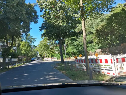

Wasserturm
Monument and historic site · 1.5 km
5B Summter Straße, Hohen Neuendorf

Dr. Curt Eckstein
Monument and historic site · 3.0 km
Stolperstein für Dr. Curt Eckstein
9 Fasanenweg, Hohen Neuendorf

Oberst Wilhelm Staehle
Monument and historic site · 3.6 km
Oberst Wilhelm Staehle 20.11.1877 - 23.4.1945 Dem Kommandanten der Invalidensiedlung, der wegen seiner Teilnahme am Widerstand gegen das...


Sowjetisches Denkmal
Monument and historic site · 2.2 km
Sowjetischer Ehrenfriedhof


31 more on the map.
Parks, trails and playgrounds18

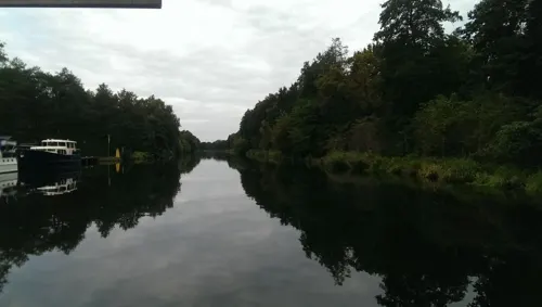





6 more on the map.
Restaurants and cafes79
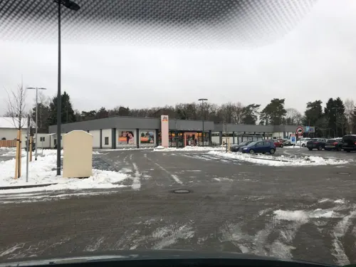
Anno 1900
Bar and pub · 3.1 km
Covid19: Strassenverkauf
25G Schönfließer Straße, Hohen Neuendorf
Tu-Sa 09:00-21:00; Su 09:00-16:00; Mo off
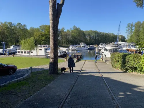
Bella Vista
Restaurant · Italian · 2.4 km
21 Saumweg, Birkenwerder
Mo-Fr 14:00-23:00; Sa-Su 12:00-23:00
Le My Vietnamesische Küche & Sushi
Restaurant · Vietnamese · 3.8 km
6a Dorfstraße, Hohen Neuendorf
Mo-Su 11:00-22:00
Bäckerei & Konditorei Plentz - Niederheide
Bakery · 2.3 km
Goethestraße, Hohen Neuendorf
Mo-Fr 06:00-18:00; Sa 06:00-13:00

Com Viet - Vietnamesisches Restaurant & Sushibar
Restaurant · Vietnamese · 0.7 km
9 Clara-Zetkin-Straße, Birkenwerder
Mo-Sa 11:00-22:00

Kaffeehaus Morgenrot
Cafe · Coffee Shop · 2.8 km
1 Scharfschwerdtstraße, Hohen Neuendorf
We-Su 10:00-18:00
Landhaus Hubertus
Restaurant · German · 4.0 km
46 Invalidensiedlung, Berlin
We-Fr 14:00+; Sa-Su 12:00+
Restaurant am Boddensee
Restaurant · German, Regional · 0.8 km
20 Brieseallee, Birkenwerder
We-Fr 12:00-22:00; Sa,Su 10:00-22:00
Zur krummen Linde
Restaurant · German · 3.7 km
5a Dorfstraße, Hohen Neuendorf
Mo 16:00-22:00; Tu-Su 12:00-22:00
67 more on the map.
More about Birkenwerder
Geography
Birkenwerder is situated in the south of Oberhavel. The northern border of Berlin is 3 kilometres away. Birkenwerder shares his border with Oranienburg in the north, Mühlenbecker Land in the east and Hohen Neuendorf in the south and in the north. In the centre of Birkenwerder is the river Briese. In the west of Birkenwerder it empties in the River Havel. Briese and Lindenhof are districts (Wohnplätze) of Birkenwerder. More than 50% of the area consists of forest. There are many forest roads, also along the river Briese. Birkenwerder is connected to the motorway A 10 (Bundesautobahn 10), the B 96 (Bundesstraße 96) and the B 96a which ends in the centre of Birkenwerder.
From the Wikipedia article Birkenwerder, under CC BY-SA 4.0.
Where to stay10
Knüppel Privatzimmer
Motel and hotel · 2.4 km
Friedrich-Naumann-Straße, Hohen Neuendorf
Churches and places of worship5
Dorfkirche Hohen Neuendorf
Church · Protestant · 2.3 km
40 Berliner Straße, Hohen Neuendorf
Shopping20
Gas and EV charging4
Schools, colleges and libraries15
Healthcare11
Map of Birkenwerder
208 places. The map loads OpenStreetMap tiles when you open it.
Getting there and nearby towns
Berlin Brandenburg Airport "Willy Brandt" (BER) is the nearest airport with scheduled flights listed in OpenStreetMap, 39 km away.
- Hohen Neuendorf 2 km south, about 2 min by car
- Oranienburg 7 km north, about 7 min by car
- Velten 7 km west, about 7 min by car
- Leegebruch 7 km northwest, about 7 min by car
- Hennigsdorf 8 km southwest, about 8 min by car
- Wandlitz 13 km northeast, about 13 min by car
- Falkensee 19 km southwest, about 19 min by car
- Kremmen 19 km northwest, about 19 min by car
- Berlin 21 km southeast, about 21 min by car
- Bernau bei Berlin 21 km east, about 21 min by car
Drive times are estimates from straight-line distance, not routes.
Towns near Birkenwerder


Keep exploring
Local news
Headlines from INDB.
Reviews, tips and questions
Loading what members have shared...
Sources and licences
- GeoNames (CC BY 4.0): population, coordinates, regions and time zone
- Mapillary (see each image): photos
- OpenStreetMap contributors (ODbL 1.0): places, airports, map data
- Wikidata (CC0 1.0): elevation, founding date, time zone, website, landmarks and historic places
- Wikimedia Commons (see each image): photos
- Wikipedia (CC BY-SA 4.0): overview and history text
Photo credits
- Birkenwerder-Am Werder 1, Matthias Wiegandt, CC BY-SA 4.0
- Birkenwerder-Am Werder 6, Matthias Wiegandt, CC BY-SA 4.0
- Birkenwerder-Am Werder 5, Matthias Wiegandt, CC BY-SA 4.0
- Verkleinert Innenansicht Dorfkirche Birkenwerder, Matthias Wiegandt, CC BY-SA 4.0
- Briese Birkenwerder, Lukas Beck, CC BY-SA 4.0
- Birkenwerder Briese, Lukas Beck, CC BY-SA 4.0
- 66-Seen-Regionalparkroute Birkenwerder, Lukas Beck, CC BY-SA 4.0
- Birkenwerder-Viktoriaallee 22, Matthias Wiegandt, CC BY-SA 4.0
- Birkenwerder-Erich-Mühsam-Straße 8, Matthias Wiegandt, CC BY-SA 4.0
- Birkenwerder-Gartenallee 4, Matthias Wiegandt, CC BY-SA 4.0
- Birkenwerder-Sacco-Vanzetti-Straße 4-8, Matthias Wiegandt, CC BY-SA 4.0
- Rote Brücke Birkenwerder, Lukas Beck, CC BY-SA 4.0
- Bahnhof Birkenwerder (22311915330), Ingolf from Berlin , Deutschland, CC BY-SA 2.0
- Bahnhof Birkenwerder (22486456652), Ingolf from Berlin , Deutschland, CC BY-SA 2.0
- Bahnhof Birkenwerder (22510894071), Ingolf from Berlin , Deutschland, CC BY-SA 2.0
- Bahnhof Birkenwerder (21877103734), Ingolf from Berlin , Deutschland, CC BY-SA 2.0
- Bahnhof Birkenwerder (22499883315), Ingolf from Berlin , Deutschland, CC BY-SA 2.0
- Rote Brücke, Birkenwerder, Brandenburg, Deutschland 003, Julian Rademacher (moortaube), CC BY-SA 3.0
- Rote Brücke, Birkenwerder, Brandenburg, Deutschland 004, Julian Rademacher (moortaube), CC BY-SA 3.0
- Rote Brücke, Birkenwerder, Brandenburg, Deutschland 002, Julian Rademacher (moortaube), CC BY-SA 3.0
- Rote Brücke, Birkenwerder, Brandenburg, Deutschland 001, Julian Rademacher (moortaube), CC BY-SA 3.0
- Berlin S-Bahn Bhf Birkenwerder (S08 0007), Michael.F.H.Barth, CC BY-SA 4.0
- Birkenwerder Boddensee lub 2025-01-09, Britta Beck, CC BY 4.0
- Berlin-Frohnau Ludwig-Lesser-Park, Assenmacher, CC BY-SA 3.0
- Berlin Wall Potsdamer Platz November 1975 looking east crop, Edward Valachovic https://www.flickr.com/people/fauxaddress/, CC BY-SA 2.0
- Waldgrundschule gebaeude b, JeHoMi, Public domain
- Grundschule niederheide 1, Havelbaude, CC BY-SA 3.0
- Hohen Neuendorf water tower, Doris Antony , Berlin, CC BY-SA 3.0
- ChurchBorgsdorf20140615, Majara_ut, CC BY-SA 3.0
- Hohen Neuendorf Wasserturm, Oberlausitzerin64, CC BY-SA 4.0
- Stolperstein für Dr. Curt Eckstein (Hohen Neuendorf), Christian Michelides, CC BY-SA 4.0
- Denkmal Invalidensiedlung 11 (Frohn) Staehle Denkmal&Franz-Wilhelm Garske&1985, OTFW , Berlin, CC BY-SA 3.0
- Sowjetisches Denkmal Hohen Neuendorf, Jérôme, CC BY-SA 3.0
- Länderinstitut für bienenkunde, Havelbaude, CC BY-SA 3.0
- Dorfkirche Pinnow (Hohen Neuendorf) 2016 NW, Hans G. Oberlack, CC BY-SA 4.0
- Hohen Neuendorf Dorfkirche, Matthias Wiegandt, CC BY-SA 4.0
- Kirche Karmel St. Teresa, Feldarbeit, CC BY-SA 4.0
- Hauptstrasse 64, Michael Richmann, CC BY-SA 4.0
- Hauptstrasse 59, Michael Richmann, CC BY-SA 4.0
- Hauptstrasse 61, Michael Richmann, CC BY-SA 4.0
- Street-level photo, carlheinz, CC BY-SA 4.0
- Street-level photo, A-Kue, CC BY-SA 4.0
- Street-level photo, mtek, CC BY-SA 4.0
- Street-level photo, kartonage, CC BY-SA 4.0
- Street-level photo, ruhr11, CC BY-SA 4.0
- Street-level photo, kartonage, CC BY-SA 4.0
- Street-level photo, fdmap, CC BY-SA 4.0
- Street-level photo, DBSEV_SBB, CC BY-SA 4.0
- Street-level photo, didihn, CC BY-SA 4.0
- Street-level photo, kartonage, CC BY-SA 4.0
- Street-level photo, A-Kue, CC BY-SA 4.0
- Street-level photo, DBSEV_SBB, CC BY-SA 4.0
- Street-level photo, kartonage, CC BY-SA 4.0
- Street-level photo, kartonage, CC BY-SA 4.0
- Street-level photo, signout, CC BY-SA 4.0
- Street-level photo, kartonage, CC BY-SA 4.0
- Street-level photo, bufonto, CC BY-SA 4.0
- Street-level photo, bufonto, CC BY-SA 4.0
- Street-level photo, DBSEV_SBB, CC BY-SA 4.0
- Street-level photo, carlheinz, CC BY-SA 4.0
- Street-level photo, moenk, CC BY-SA 4.0
- Street-level photo, mtek, CC BY-SA 4.0
- Street-level photo, didihn, CC BY-SA 4.0
- Street-level photo, DBSEV_SBB, CC BY-SA 4.0
- Street-level photo, ruhr11, CC BY-SA 4.0
- Street-level photo, didihn, CC BY-SA 4.0
- Street-level photo, Langfahrer, CC BY-SA 4.0


Page built November 9, 2026. Spotted a mistake? Tell us or suggest a place.