


Why visit Bitburg
Townapedia lists 18 museums and landmarks, 20 parks and trails, 64 places to eat, 7 places to stay and 12 attractions in and around town.
Highlights include Eifelpark, Geflügelhof Lausberg, Fritz von Wille Museum and Burg Rittersdorf.
Weather in Bitburg
Forecast from MET Norway (CC BY 4.0). Full forecast
About Bitburg
Bitburg (German pronunciation: [ˈbɪtbʊʁk] ; French: Bitburg; Luxembourgish: Béibreg [ˈbɜɪ̯bʀəɕ]) is a town in Germany, in the state of Rhineland-Palatinate approximately 25 km (16 mi.) northwest of Trier and 50 km (31 mi.) northeast of Luxembourg City. The American Spangdahlem Air Base is located nearby.
From the Wikipedia article Bitburg (this version), under CC BY-SA 4.0.
Travel tips from other travellers: Bitburg on Wikivoyage (CC BY-SA 4.0).
Things to do12


Geflügelhof Lausberg
Farm and orchard · 4.7 km
Mo,We,Sa 08:00-13:00, Tu off, Th 08:00-12:00, 13:00-18:00, Fr 15:00-18:00


Museums and landmarks18
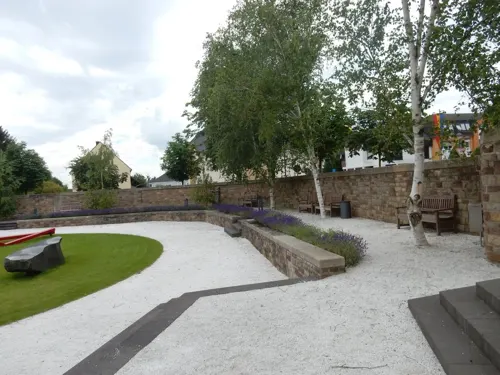
Fritz von Wille Museum
Museum · 0.6 km
1 Bedaplatz, Bitburg
Tu 15:00-18:00; PH off; "nach Vereinbarung"

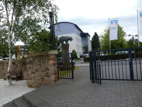

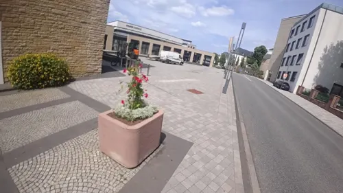

Bitburger Meteorit Fundort
Monument and historic site · 2.4 km
1805 wurde hier ein ca. 1,5 t schwerer Meteorit gefunden

Vereinigte Museen im Jacobshof
Museum · 4.5 km
16 Hauptstraße, Oberstedem
Sa[1],Su[1] 10:00-17:00
Kreismuseum
Museum
Nov-Feb: Su 14:00-17:00; Mar-Oct: Tu,We 11:00-17:00; Mar-Oct:...
Kriegerdenkmal
Monument and historic site · 0.6 km
Vorderseite das Abbild Kaiser Wilhelm, Rückseite das Abbild des Generalfeldmarschalls Helmuth Graf von Moltke. Auf der linken Seite...
6 more on the map.
Parks, trails and playgrounds20

Cascade Erlebnisbad
Sports field and stadium · 0.7 km
4 Talweg, Bitburg
Tu,We,Fr 13:00-21:00; Sa 09:00-21:00, Su 09:00-20:00; PH 09:00+



Streuobstwiesen und Hecken am Münchensberg bei Hüttingen
Hiking and trails · 4.8 km


8 more on the map.
Restaurants and cafes64
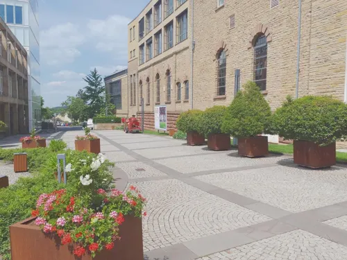
Zum Simonbräu
Restaurant · German · 0.8 km
7 Am Markt, Bitburg
Mo-Th 12:00-15:00,17:30-22:00; Fr-Sa 12:00-15:00,17:30-23:00; Su...
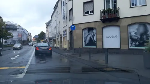

Casa Del Manzo
Restaurant · Italian, Burger, Steakhaus · 0.7 km
14 Josef-Niederprüm-Straße, Bitburg
PH,Th-Tu 11:30-14:00,17:30-22:00
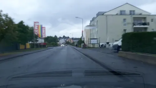
Chico's
Restaurant · Mexican
47 Mötscher Straße, Bitburg
We-Th 11:30-14:00,18:00-22:00; Fr 11:30-14:00,18:00-23:00; Sa...
Hermann's
Restaurant · Regional · 3.9 km
30 Bitburger Straße, Rittersdorf
Mo-Sa 12:00-22:00; Tu-Th off; Su 12:00-20:00
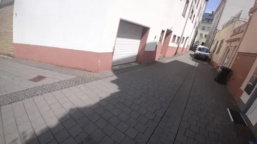
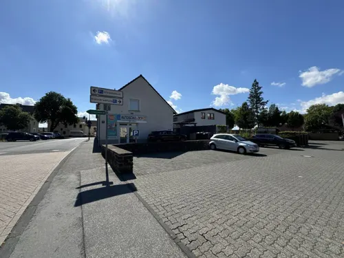
Turnhalle
Restaurant · Mediterranean
11 Trierer Straße, Bitburg
Mo 12:00-14:00,17:30-23:00; Tu 12:00-14:00,17:30-00:00; Fr...


Zur alten Dorfschmiede
Restaurant · German · 4.4 km
29 Hauptstraße, Metterich
We-Sa 17:00-24:00; Su,PH 10:30-14:30; Mo,Tu off

Dietz
Bakery · 0.8 km
1 Hermine-Albers-Straße, Bitburg
Mo-Fr 06:00-17:00; Sa 06:00-16:00; Su 07:00-12:00
Landbäckerei Roden
Bakery · 0.6 km
24 Saarstraße, Bitburg
Mo-Fr 06:00-18:00; Sa 06:00-13:00; Su 07:30-11:00
52 more on the map.
History
Bitburg originated approximately two thousand years ago as a stopover for traffic from Lyon through Metz and Trier to Cologne. The first name mentioned was Vicus Beda. Emperor Constantine the Great expanded the settlement to a road castle around 330, the central part of which forms the city centre today. Bitburg is first documented only after the end of the Roman Empire around 715 as castrum bedense. It subsequently became part of Franconia.
The first mention of Bitburg in historic annals occurred in connection with the signing in 1239 of the Trier-Luxembourg Treaty between Archbishop Theoderich II of Trier and Countess Ermesinde II of Luxemburg, under which the town came under the archbishopric's protection. Bitburg received a town charter in 1262 from Count Henry V of Luxembourg.
In 1443, Bitburg came under the sway of the Duchy of Burgundy, then in 1506 was acquired by the Austrian Netherlands, which controlled most of modern Belgium. In 1794 the city came under French administration, and in 1798 became part of the newly created department of Forêts. This led to a short lived economic upturn, and Bitburg received among other things a court and a land registry.
From the History section of Bitburg on Wikipedia, under CC BY-SA 4.0.
Where to stay7
Churches and places of worship28
Shopping13
Gas and EV charging7
Schools, colleges and libraries16
Healthcare9
medicus Eifler Ärzte eG MVZ Bitburg
Clinic and pharmacy · 0.6 km
1a Josef-Niederprüm-Straße, Bitburg
Map of Bitburg
194 places. The map loads OpenStreetMap tiles when you open it.
Getting there and nearby towns
Flugplatz Bitburg (BBJ) is the nearest airport with scheduled flights listed in OpenStreetMap, 4 km away.
- Trier 25 km south, about 25 min by car
- Wittlich 26 km east, about 26 min by car
- Konz 30 km south, about 30 min by car
- Morbach 47 km east, about 47 min by car
- Wadern 54 km southeast, about 54 min by car
- Nohfelden 61 km southeast, about 1 h by car
- Idar-Oberstein 63 km southeast, about 1 h by car
- Schleiden 62 km north, about 1 h by car
- Mayen 64 km northeast, about 1 h by car
- Schmelz 64 km south, about 1 h by car
Drive times are estimates from straight-line distance, not routes.
Local news
Headlines from INDB.
Reviews, tips and questions
Loading what members have shared...
Sources and licences
- GeoNames (CC BY 4.0): population, coordinates, regions and time zone
- Mapillary (see each image): photos
- OpenStreetMap contributors (ODbL 1.0): places, airports, map data
- Wikidata (CC0 1.0): elevation, founding date, time zone, website, landmarks and historic places
- Wikimedia Commons (see each image): photos
- Wikipedia (CC BY-SA 4.0): overview and history text
Photo credits
- Bitburg (Eifel); Archäologischer Rundweg Vicus Beda e, Colling-architektur, CC BY-SA 3.0
- 20161029 Bitburg Denkmal 21, Bungert55, CC BY-SA 3.0
- Bitburg, St. Peter (03), Subbass1, CC BY-SA 4.0
- Bitburg, St. Peter (21), Subbass1, CC BY-SA 4.0
- Bitburg, St. Peter (22), Subbass1, CC BY-SA 4.0
- Bitburg, St. Peter (01), Subbass1, CC BY-SA 4.0
- Treverer Pferde vor der Kreisverwaltung Bitburg-Prüm in Bitburg - panoramio, Tourist-Information …, CC BY-SA 3.0
- Kreismuseum Bitburg-Prüm in Bitburg - panoramio, Tourist-Information …, CC BY-SA 3.0
- Bitburg, St. Peter (11), Subbass1, CC BY 3.0
- Bitburg, St. Peter (14), Subbass1, CC BY-SA 4.0
- Bitburg, St. Peter (16), Subbass1, CC BY 3.0
- Bitburg, St. Peter (18), Subbass1, CC BY 3.0
- Bitburg, St. Peter (19), Subbass1, CC BY 3.0
- Bitburg, St. Peter (10), Subbass1, CC BY 3.0
- Bitburg, St. Peter (15), Subbass1, CC BY-SA 4.0
- Bitburg, St. Peter (17), Subbass1, CC BY 3.0
- Bitburg, St. Peter (12), Subbass1, CC BY 3.0
- Bitburg, St. Peter (04), Subbass1, CC BY-SA 4.0
- Bitburg, St. Peter (06), Subbass1, CC BY-SA 4.0
- Bitburg, St. Peter (02), Subbass1, CC BY-SA 4.0
- Bitburg, St. Peter (20), Subbass1, CC BY-SA 4.0
- Bitburg, St. Peter (08), Subbass1, CC BY-SA 4.0
- Bitburg, St. Peter (09), Subbass1, CC BY-SA 4.0
- Bitburg, St. Peter (05), Subbass1, CC BY-SA 4.0
- Bitburg, St. Peter (07), Subbass1, CC BY-SA 4.0
- 20150912 Bitburg 42, Bungert55, CC BY-SA 3.0
- Trierer Strasse, Bitburg - geo.hlipp.de - 14842, Colin Smith on geo.hlipp.de, CC BY-SA 2.0
- Bitburg - Eingang zur Fussgaengerzone (Entry to the Pedestrian Zone) - geo.hlipp.de - 14843, Colin Smith on geo.hlipp.de, CC BY-SA 2.0
- Bitburg barracks, Germany, being bombed, circa 29 September 1944 (193768239), U.S. Army Air Force photo 342-FH-3A20923-54197AC, Public domain
- 20150912 Bitburg 39, Bungert55, CC BY-SA 3.0
- 20161029 Bitburg Denkmal 23, Bungert55, CC BY-SA 3.0
- Adrigstraße Bitburg - panoramio, Tourist-Information …, CC BY-SA 3.0
- Eifelpark Petz auf Rutsche, Diebine , Eifelpark GmbH, CC BY-SA 3.0
- Kylltalbruecke 1, Leseratte, CC BY-SA 3.0
- Rittersdorf 01, MacElch (Rainer Kunze), CC BY-SA 3.0
- Euro BBW, AndyDerEmo, CC BY-SA 4.0
- Tssbithof, Jcherrmann, CC BY-SA 3.0
- EvangelischeKircheBitburgH2, Helge Klaus Rieder, CC BY-SA 3.0
- Hüttingen an der Kyll (Eifel); Naturschutzgebiet Am Münchensberg a, Colling-architektur, CC BY-SA 3.0
- Hüttingen a.d. Kyll (Eifel); Naturschutzgebiet In der Held b, Colling-architektur, CC BY-SA 3.0
- Bitburg (Eifel); Katholische Pfarrkirche Liebfrauen a, Colling-architektur, CC BY-SA 3.0
- Bitburg-Mötsch (Eifel); katholische Pfarrkirche St. Nikolaus a, Colling-architektur, CC BY-SA 3.0
- Mosaik in der römischen Villa Otrang bei Fließem - panoramio, Tourist-Information …, CC BY-SA 3.0
- Street-level photo, Vosgivince, CC BY-SA 4.0
- Street-level photo, Lowiekse, CC BY-SA 4.0
- Street-level photo, svelys, CC BY-SA 4.0
- Street-level photo, Lowiekse, CC BY-SA 4.0
- Street-level photo, sarant, CC BY-SA 4.0
- Street-level photo, Vosgivince, CC BY-SA 4.0
- Street-level photo, Vosgivince, CC BY-SA 4.0
- Street-level photo, Lowiekse, CC BY-SA 4.0
- Street-level photo, Lowiekse, CC BY-SA 4.0
- Street-level photo, Vosgivince, CC BY-SA 4.0
- Street-level photo, Lowiekse, CC BY-SA 4.0
- Street-level photo, sarant, CC BY-SA 4.0
- Street-level photo, Vosgivince, CC BY-SA 4.0
- Street-level photo, teddy73, CC BY-SA 4.0
- Street-level photo, Vosgivince, CC BY-SA 4.0
- Street-level photo, VIA_KK, CC BY-SA 4.0
- Street-level photo, Lowiekse, CC BY-SA 4.0
- Street-level photo, Vosgivince, CC BY-SA 4.0
- Street-level photo, Lowiekse, CC BY-SA 4.0
- Street-level photo, Lowiekse, CC BY-SA 4.0
- Street-level photo, Vosgivince, CC BY-SA 4.0
- Street-level photo, Lowiekse, CC BY-SA 4.0


Page built November 8, 2026. Spotted a mistake? Tell us or suggest a place.