


Breckerfeld, Germany
Breckerfeld is a town of 9,217 people in North Rhine-Westphalia, Germany.
Why visit Breckerfeld
Townapedia lists 28 museums and landmarks, 20 parks and trails, 40 places to eat, 9 places to stay and 43 attractions in and around town.
Highlights include der OberBauer, Bollberg, Mühlenhof Breckerfeld and Haus Dahl.
Weather in Breckerfeld
Forecast from MET Norway (CC BY 4.0). Full forecast
About Breckerfeld
Breckerfeld (German pronunciation: [ˈbʁɛkɐfɛlt] ) is a town in the district of Ennepe-Ruhr-Kreis, in North Rhine-Westphalia (Germany). It is located in the southeasternmost part of the Ruhr area in northern Sauerland. The town is a member of Regionalverband Ruhr (association).
From the Wikipedia article Breckerfeld (this version), under CC BY-SA 4.0.
Things to do43

der OberBauer
Farm and orchard · 4.7 km
Verkaufsautomat, Eier, Würstchen (berg&mark, Süßigkeiten
29 Kotthausstraße, Ennepetal
24/7

MuhToGo - Huxhardter Milchhäusel
Farm and orchard · 2.8 km
24/7
31 more on the map.
Museums and landmarks28



Finkenberger Mühle
Monument and historic site · 3.9 km
1 Finkenberger Mühle, Breckerfeld


Hagen Open-air Museum
Museum · 8.4 km
Open-air museum in Hagen, North Rhine-Westphalia, Germany


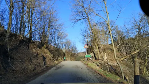


Antonius Schulte Südhoff
Monument and historic site · 4.4 km
Dem Förderer des privaten Waldes zum Gedenken
Bauernhaus Wippekühl
Monument and historic site · 5.3 km
4 Wippekühl, Schalksmühle
16 more on the map.
Parks, trails and playgrounds20






8 more on the map.
Restaurants and cafes40

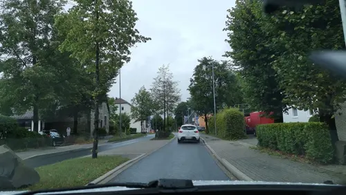
Zum Nöckel
Restaurant · Regional · 4.1 km
37 Rotthauser Straße, Schalksmühle
We-Fr 16:00-22:00; Sa 11:30-14:00,16:00-22:00; Su 11:30-14:00,16:00-22:00

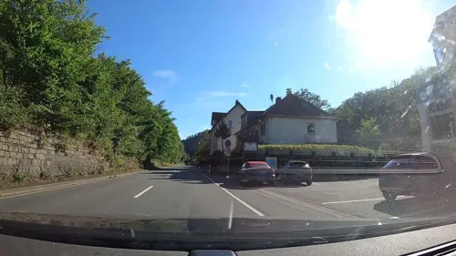
Restaurant International
Restaurant · 3.9 km
73 Rummenohler Straße, Hagen
Mo-Sa 11:30-14:30, 17:30-23:00; Su,PH 11:30-23:00
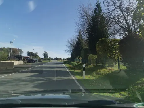
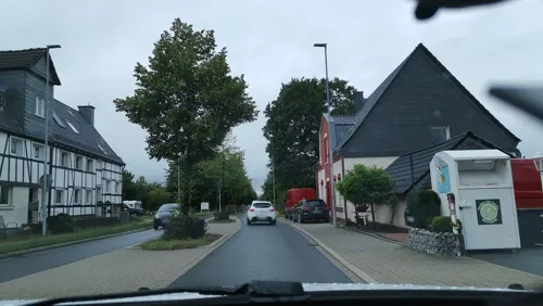



Haus Glörtal
Restaurant · 2.8 km
1 Glörtalsperre, Breckerfeld
We-Fr 12:00-22:00; Sa 10:00-22:00; Su 10:00-20:00

28 more on the map.
History
Breckerfeld has had town rights since 1396 and was a member of the Hanseatic League. From 1907 until 1963 the Haspe–Voerde–Breckerfeld Light Railway connected Breckerfeld with the Elberfeld–Dortmund railway at Haspe. In 1970, the independent municipality of Dahl joined the town of Breckerfeld. In 1975, the federal parliament decided to reorganize this area into falling within the boundaries of the nearby district-free city, Hagen.
Nena, one of Germany's most successful pop-singers, spent the first several years of her life in Breckerfeld.
From the History section of Breckerfeld on Wikipedia, under CC BY-SA 4.0.
Where to stay9
Churches and places of worship17
Shopping7
Gas and EV charging6
Schools, colleges and libraries6
Healthcare2
Map of Breckerfeld
178 places. The map loads OpenStreetMap tiles when you open it.
Getting there and nearby towns
Dortmund Airport (DTM) is the nearest airport with scheduled flights listed in OpenStreetMap, 30 km away.
- Schalksmühle 5 km southeast, about 5 min by car
- Ennepetal 9 km northwest, about 9 min by car
- Halver 8 km south, about 8 min by car
- Radevormwald 10 km southwest, about 10 min by car
- Hagen 11 km north, about 11 min by car
- Gevelsberg 11 km northwest, about 11 min by car
- Lüdenscheid 12 km east, about 12 min by car
- Schwelm 12 km west, about 12 min by car
- Nachrodt-Wiblingwerde 12 km northeast, about 12 min by car
- Altena 15 km east, about 15 min by car
Drive times are estimates from straight-line distance, not routes.
Local news
Headlines from INDB.
Reviews, tips and questions
Loading what members have shared...
Sources and licences
- GeoNames (CC BY 4.0): population, coordinates, regions and time zone
- Mapillary (see each image): photos
- OpenStreetMap contributors (ODbL 1.0): places, airports, map data
- Wikidata (CC0 1.0): elevation, founding date, time zone, website, landmarks and historic places
- Wikimedia Commons (see each image): photos
- Wikipedia (CC BY-SA 4.0): overview and history text
Photo credits
- Breckerfeld, Peter Tritthart, CC BY 3.0
- Hagen Freilichtmuseum R01, Marc Ryckaert ( MJJR ), CC BY 3.0
- Alter Friedhof in Rüggeberg 8, Grenzestein, CC BY-SA 3.0
- Halver - Bollberg - Wallburg 05 ies, Frank Vincentz, CC BY-SA 3.0
- Wengeberg im Dezember, Moonbarker, CC0
- Evangelische Jakobus-Kirche (Breckerfeld) (1), Chris06, CC BY-SA 4.0
- Kornkasten in Rüggeberg 01, Grenzestein, CC BY-SA 3.0
- Kriegerehrenmal in Rüggeberg 01, Grenzestein, CC BY-SA 3.0
- Breckerfeld - Finkenberger Mühle 03 ies, Frank Vincentz, CC BY-SA 3.0
- Breckerfeld - Sankt Jakobus 05 ies, Frank Vincentz, CC BY-SA 3.0
- NSG Bilstein-17.02.08-3, Ökologix, CC BY-SA 3.0
- NSG Saure Epscheid Breckerfeld 1, Klaus Ehlers, CC BY-SA 4.0
- Hagen NSG-Bachtal Saure Epscheid, Bärwinkel,Klaus, CC BY 3.0
- NSG-Hasper Bach, Bärwinkel,Klaus, CC BY 3.0
- Haus Dahl01, Markus Schweiss, CC BY-SA 3.0
- Schalksmuehle-Erloeserkirche1-Bubo, Bubo, CC BY-SA 3.0
- NSG GM-131 Reebeck und Braaker Siepen (8), DiAuras, CC BY-SA 4.0
- Dahler Kirche 4, Bärwinkel,Klaus, CC BY-SA 4.0
- Hagen-Dahl, Kallestraße 4, Bärwinkel,Klaus, CC BY-SA 4.0
- Schalksmuehle-KatholischeKirche1-Bubo, Bubo, CC BY-SA 3.0
- Evangelische Pfarrkirche (Breckerfeld), DiAuras, CC BY-SA 4.0
- Wengeberg, DooFi, CC0
- Alter Friedhof in Rüggeberg 7, Grenzestein, CC BY-SA 3.0
- Breckerfeld - Finkenberger Mühle 02 ies, Frank Vincentz, CC BY-SA 3.0
- Katholische PFarrkirche St. Jakobus (Breckerfeld), DiAuras, CC BY-SA 4.0
- NSG Saure Epscheid Breckerfeld 2, Klaus Ehlers, CC BY-SA 4.0
- Hagen Haus Dahl, Bärwinkel,Klaus, CC BY 3.0
- Street-level photo, thoschi, CC BY-SA 4.0
- Street-level photo, uwekoch, CC BY-SA 4.0
- Street-level photo, uwekoch, CC BY-SA 4.0
- Street-level photo, ASRvw, CC BY-SA 4.0
- Street-level photo, ASRvw, CC BY-SA 4.0
- Street-level photo, uwekoch, CC BY-SA 4.0
- Street-level photo, thoschi, CC BY-SA 4.0
- Street-level photo, fuffel, CC BY-SA 4.0
- Street-level photo, thoschi, CC BY-SA 4.0
- Street-level photo, uwekoch, CC BY-SA 4.0
- Street-level photo, thoschi, CC BY-SA 4.0
- Street-level photo, thoschi, CC BY-SA 4.0
- Street-level photo, fuffel, CC BY-SA 4.0
- Street-level photo, uwekoch, CC BY-SA 4.0
- Street-level photo, uwekoch, CC BY-SA 4.0
- Street-level photo, thoschi, CC BY-SA 4.0
- Street-level photo, uwekoch, CC BY-SA 4.0
- Street-level photo, uwekoch, CC BY-SA 4.0
- Street-level photo, ASRvw, CC BY-SA 4.0


Page built November 9, 2026. Spotted a mistake? Tell us or suggest a place.