


Nachrodt-Wiblingwerde, Germany
Nachrodt-Wiblingwerde is a town of 6,860 people in North Rhine-Westphalia, Germany.
Why visit Nachrodt-Wiblingwerde
Townapedia lists 27 museums and landmarks, 13 parks and trails, 48 places to eat, 7 places to stay and 24 attractions in and around town.
Highlights include Dechen Cave, Hofladen-Weustermann, Schloss Hohenlimburg and Haus Nachrodt.
Weather in Nachrodt-Wiblingwerde
Forecast from MET Norway (CC BY 4.0). Full forecast
About Nachrodt-Wiblingwerde
Nachrodt-Wiblingwerde (German pronunciation: [ˈnaːxʁɔt ˌvɪblɪŋˈvɛʁdə]) is a municipality in the Märkischer Kreis, North Rhine-Westphalia, Germany.
From the Wikipedia article Nachrodt-Wiblingwerde (this version), under CC BY-SA 4.0.
Things to do24


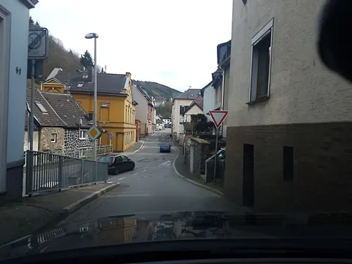
Hofladen-Weustermann
Farm and orchard · 2.4 km
9 Brenscheid, Nachrodt-Wiblingwerde
Mo-Sa 08:00-18:00; Su 00:00-24:00



12 more on the map.
Museums and landmarks27

Schloss Hohenlimburg
Monument and historic site · 4.5 km
30 Alter Schloßweg, Hagen
"nur während Führungen. Siehe Website für Termine."

Haus Nachrodt
Monument and historic site · 2.5 km
51 Hagener Straße, Nachrodt-Wiblingwerde
Mo, We, Fr 08:00-12:00; Tu, Th 08:00-12:00, 14:00-17:00


Burg Holtzbrink
Monument and historic site · 4.6 km
20 Kirchstraße, Altena
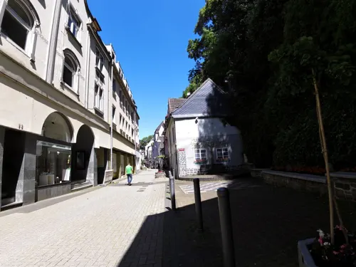


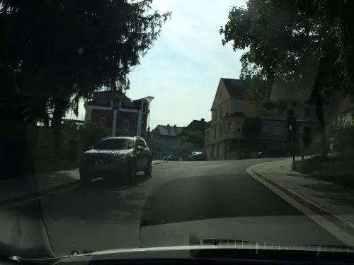

Brenscheider Ölmühle
Monument and historic site · 3.3 km
Technical_monument
5 Brenscheider Mühle, Nachrodt-Wiblingwerde

15 more on the map.
Parks, trails and playgrounds13







Sportplatz Wiblingwerde
Sports field and stadium
17 Nachrodter Straße, Nachrodt-Wiblingwerde
1 more on the map.
Restaurants and cafes48

Pilling
Restaurant · Regional · 4.8 km
18 Nettestraße, Altena
Jun-Sep Tu-Sa 17:00-21:30, Su 16:00-21:30; Oct-May Tu-Sa...
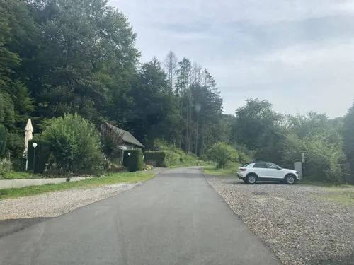
Waldrestaurant Brenscheider Mühle
Restaurant · Regional · 3.6 km
1 Brenscheider Mühle, Nachrodt-Wiblingwerde
We-Su 11:30-21:00

Burgrestaurant Altena
Restaurant · 4.4 km
80 Fritz-Thomee-Straße
Th-Sa 11:30-22:00; We 11:30-17:00; Su 11:30-18:00

Goldbäckerei Grote
Bakery · 3.0 km
49-51 Altenaer Straße, Nachrodt-Wiblingwerde
Mo-Fr 05:30-19:00,Sa 05:30-18:00,Su 07:00-12:00
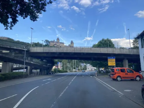
Acastello
Restaurant · 4.3 km
2 Lennestraße, Altena
Mo off; Su 16:00-21:00; Tu-Sa 17:00+

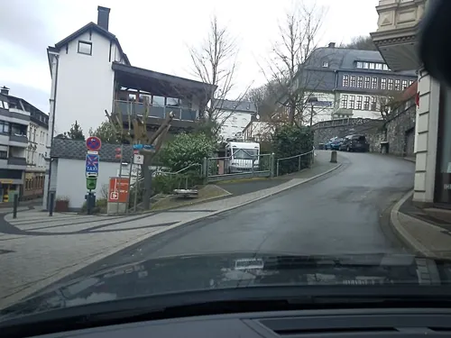
Cafe zur Burg
Cafe · 4.7 km
2 Freiheitstraße, Altena
Mo,Tu-Th 08:30-22:30, Su 09:00-22:30; Fr,Sa 08:30+
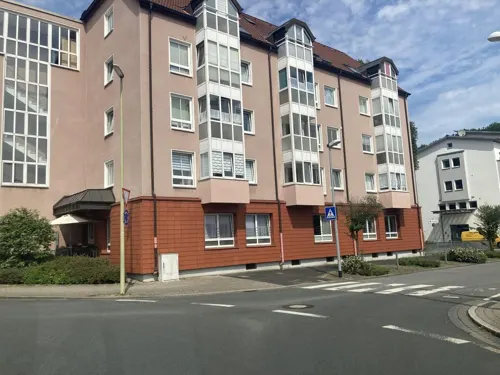


36 more on the map.
History
The municipality was formed in 1907, when the Amt Altena was dissolved. The two municipalities Kelleramt and Wiblingwerde were merged into the new municipality Nachrodt-Wiblingwerde, which was no longer member in an Amt anymore.
From the History section of Nachrodt-Wiblingwerde on Wikipedia, under CC BY-SA 4.0.
Where to stay7
Evangelisch-Freikirchliches Sozialwerk Westfalen Freizeit- und Bildungsstätte Auf dem Ahorn e.V.
Motel and hotel · 2.0 km
4 Ahorn, Nachrodt-Wiblingwerde
Churches and places of worship18
Erzengel-Michael-Kirche
Church · Coptic Orthodox · 4.6 km
25 Kirchstraße, Altena
Evangelische Kirche Wiblingwerde
Church · Reformed · 0.9 km
3 Nachrodter Straße, Nachrodt-Wiblingwerde
Shopping15
Gas and EV charging3
Schools, colleges and libraries10
Gemeindebücherei Nachrodt
Library · 2.8 km
7 Hagener Straße, Nachrodt-Wiblingwerde
Gemeinschaftsgrundschule
School · 2.8 km
61 Ehrenmalstraße, Nachrodt-Wiblingwerde
Healthcare3
Map of Nachrodt-Wiblingwerde
168 places. The map loads OpenStreetMap tiles when you open it.
Getting there and nearby towns
Dortmund Airport (DTM) is the nearest airport with scheduled flights listed in OpenStreetMap, 22 km away.
- Altena 5 km southeast, about 5 min by car
- Iserlohn 9 km northeast, about 9 min by car
- Schalksmühle 10 km southwest, about 10 min by car
- Hagen 11 km northwest, about 11 min by car
- Lüdenscheid 11 km south, about 11 min by car
- Werdohl 12 km southeast, about 12 min by car
- Neuenrade 12 km east, about 12 min by car
- Hemer 13 km northeast, about 13 min by car
- Schwerte 15 km north, about 15 min by car
- Herdecke 16 km northwest, about 16 min by car
Drive times are estimates from straight-line distance, not routes.
Local news
Headlines from INDB.
Reviews, tips and questions
Loading what members have shared...
Sources and licences
- GeoNames (CC BY 4.0): population, coordinates, regions and time zone
- Mapillary (see each image): photos
- OpenStreetMap contributors (ODbL 1.0): places, airports, map data
- Wikidata (CC0 1.0): elevation, founding date, time zone, website, landmarks and historic places
- Wikimedia Commons (see each image): photos
- Wikipedia (CC BY-SA 4.0): overview and history text
Photo credits
- Nachrodt-Wiblingwerde Einsal FFSN-5888, Michael Kramer, CC BY-SA 3.0
- Nachrodt-Wiblingwerde Grundschule, Arnoldius, CC BY-SA 4.0
- Nachrodt-Wiblingwerde Wappen, Arnoldius, CC BY-SA 4.0
- Nachrodt-Wiblingwerde Wappen MK, Arnoldius, CC BY-SA 4.0
- Nachrodt-Wiblingwerde 3962, Pelz, CC BY-SA 4.0
- Nachrodt-Wiblingwerde Heimatstube, Arnoldius, CC BY-SA 4.0
- Nachrodt-Wiblingwerde 3965, Pelz, CC BY-SA 4.0
- Nachrodt-Wiblingwerde 3963, Pelz, CC BY-SA 4.0
- Nachrodt-Wiblingwerde 3964, Pelz, CC BY-SA 4.0
- Nachrodt-Wiblingwerde 3960, Pelz, CC BY-SA 4.0
- Nachrodt-Wiblingwerde 3959, Pelz, CC BY-SA 4.0
- Nachrodt-Wiblingwerde ev. Kirche von Norden, Arnoldius, CC BY-SA 4.0
- Nachrodt-Wiblingwerde Kriegsopferdenkmal, Arnoldius, CC BY-SA 4.0
- Nachrodt-Wiblingwerde ev. Kirche von Nordosten, Arnoldius, CC BY-SA 4.0
- Nachrodt-Wiblingwerde 3961, Pelz, CC BY-SA 4.0
- Nachrodt-Wiblingwerde ev. Kirche Chorausmalung Rom, Arnoldius, CC BY-SA 4.0
- Nachrodt-Wiblingwerde ev. Kirche Taufbecken, Arnoldius, CC BY-SA 4.0
- Nachrodt-Wiblingwerde ev. Kirche Orgel, Arnoldius, CC BY-SA 4.0
- Nachrodt-Wiblingwerde ev. Kirche Chorausmalung Konstantinopel, Arnoldius, CC BY-SA 4.0
- Nachrodt-Wiblingwerde ev. Kirche Chorausmalung, Arnoldius, CC BY-SA 4.0
- Nachrodt-Wiblingwerde ev. Kirche Chor, Arnoldius, CC BY-SA 4.0
- Nachrodt-Wiblingwerde ev. Kirche Chorausmalung Detail, Arnoldius, CC BY-SA 4.0
- Nachrodt-Wiblingwerde ev. Kirche Chorausmalung links, Arnoldius, CC BY-SA 4.0
- Nachrodt-Wiblingwerde ev. Kirche Chorausmalung rechts, Arnoldius, CC BY-SA 4.0
- Nachrodt-Wiblingwerde 3947, Pelz, CC BY-SA 4.0
- Nachrodt-Wiblingwerde ev. Kirche Turm von Süden, Arnoldius, CC BY-SA 4.0
- Dechenhöhle, No machine-readable author provided. Flux Garden~commonswiki assumed (based on copyright claims)., CC BY-SA 3.0
- Aerial image of the Altena Castle (view from the east), Carsten Steger, CC BY-SA 4.0
- Burg Holtzbrinck 02, Dickelbers, CC BY-SA 3.0
- Altena-Burggymnasium2-Bubo, Bubo, CC BY-SA 3.0
- Altena - Deutsches Drahtmuseum 02 ies, Frank Vincentz, CC BY-SA 3.0
- Altena - Gasthaus Pilling 05 ies-Ausschnitt1b, Frank Vincentz - Ausschnittsbearbeitung: Asio 20:55, 6 November 2010 (UTC), CC BY-SA 3.0
- Wiblingwerde-Kirche1-Asio, Asio otus, CC BY-SA 3.0
- Schloss Hohenlimburg - Deutsches Kaltwalzmuseum 05 ies, Frank Vincentz, CC BY-SA 3.0
- Nachrodt-Wiblingwerde-HausNachrodt1-Bubo, Bubo, CC BY-SA 3.0
- Altena - Lutherkirche 05 ies, Frank Vincentz, CC BY-SA 3.0
- Iserlohn-LasbeckKirche1-Bubo, Bubo, CC BY-SA 3.0
- Wallburg Sieben Gräben, Bärwinkel,Klaus, CC BY 3.0
- Loessel-Brunnenkirche1-Bubo, No machine-readable author provided. Bubo bubo assumed (based on copyright claims)., CC BY-SA 3.0
- Altena-101120-19041-Reformierte-Kirche, user:Mbdortmund, GFDL 1.2
- Hohenlimburg, Jahnstr. 46, Bärwinkel,Klaus, CC BY 3.0
- Nachrodt-Wiblingwerde - Dümplerleie 01 ies, Frank Vincentz, CC BY-SA 3.0
- Altena - Marktstraße - Stadtbücherei 01, Frank Vincentz, CC BY-SA 3.0
- Nachrodt evangelische Kirche Kirchstraße 1, Arnoldius, CC BY-SA 4.0
- Hohenlimburg, ev.-reformierte Kirche, Bärwinkel,Klaus, CC BY 3.0
- Altena - Burg ex 17 ies, Frank Vincentz, CC BY-SA 3.0
- Altena - Sankt Thomas-Morus Expositur 04 ies, Frank Vincentz, CC BY-SA 3.0
- 20140626-Naturschutzgebiet Steinbruch Kupferberg, PrivacyFirst, CC BY-SA 3.0
- Düsternsiepen, Mina999, CC BY-SA 3.0
- Altena 06 ies, Frank Vincentz, CC BY-SA 3.0
- 20140625-Naturschutzgebiete Kupferberg u. Steinbruch Helmke, PrivacyFirst, CC BY-SA 3.0
- Altena Burg Bergfried Aussicht NW 3999 201509, Karlunun, CC BY-SA 4.0
- Street-level photo, tasmaniadevil, CC BY-SA 4.0
- Street-level photo, zors1843, CC BY-SA 4.0
- Street-level photo, uwekoch, CC BY-SA 4.0
- Street-level photo, tasmaniadevil, CC BY-SA 4.0
- Street-level photo, changchun1, CC BY-SA 4.0
- Street-level photo, zors1843, CC BY-SA 4.0
- Street-level photo, ziltoidium, CC BY-SA 4.0
- Street-level photo, uwekoch, CC BY-SA 4.0
- Street-level photo, uwekoch, CC BY-SA 4.0
- Street-level photo, zors1843, CC BY-SA 4.0
- Street-level photo, changchun1, CC BY-SA 4.0
- Street-level photo, zors1843, CC BY-SA 4.0
- Street-level photo, changchun1, CC BY-SA 4.0
- Street-level photo, uwekoch, CC BY-SA 4.0
- Street-level photo, uwekoch, CC BY-SA 4.0
- Street-level photo, tasmaniadevil, CC BY-SA 4.0
- Street-level photo, zors1843, CC BY-SA 4.0
- Street-level photo, zors1843, CC BY-SA 4.0
- Street-level photo, zors1843, CC BY-SA 4.0
- Street-level photo, changchun1, CC BY-SA 4.0
- Street-level photo, tasmaniadevil, CC BY-SA 4.0
- Street-level photo, zors1843, CC BY-SA 4.0


Page built November 9, 2026. Spotted a mistake? Tell us or suggest a place.