


Why visit Calw
Townapedia lists 92 museums and landmarks, 46 parks and trails, 136 places to eat, 28 places to stay and 35 attractions in and around town.
Highlights include Bad Liebenzell, Hardthof, Palais Vischer and Besucherzentrum Kommando.Spezial.Kräfte.
Weather in Calw
Forecast from MET Norway (CC BY 4.0). Full forecast
About Calw
Calw (German pronunciation: [ˈkalf] ; previously pronounced [ˈkalp] and in old sources sometimes spelled Kalb accordingly; Swabian: Calb) is a town in the middle of Baden-Württemberg in the south of Germany, capital and largest town of the district Calw. It is located in the Northern Black Forest and is approximately 18 km (11 mi) south of Pforzheim and 33 km (21 mi) west of Stuttgart. It has the status of a große Kreisstadt.
From the Wikipedia article Calw (this version), under CC BY-SA 4.0.
Travel tips from other travellers: Calw on Wikivoyage (CC BY-SA 4.0).
Things to do35

Bad Liebenzell
Monument and historic site · 6.7 km
Town in Calw District, Karlsruhe Government Region, Baden-Württemberg, Germany

Hardthof
Farm and orchard · 6.4 km
101 Maisenbacher Straße, Bad Liebenzell
Fr 10:00-18:00; Sa 09:00-12:00
Hofgut Georgenau
Farm and orchard · 5.7 km
1, Bad Liebenzell
Tu-Fr 09:30-13:00, 15:30-18:30; Sa 09:30-13:00

Doma
Scenic view · 3.6 km
Dem Doma soll eine abgegangene Thomaskapelle den Namen gegeben haben. Auf Landkarten ist aber auch Daumen zu lesen, eine falsche...
Hohe Nille
Scenic view · 3.7 km
Horst Roller Stammheimer Ortchronist: "Hohe Nille und Lange Nille, was Beule oder Hügel bedeutet."


23 more on the map.
Museums and landmarks92

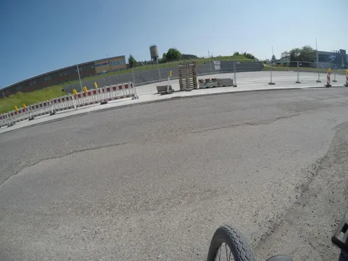
Besucherzentrum Kommando.Spezial.Kräfte
Museum · 2.1 km
22 Graf-Zeppelin-Straße, Calw
Th 10:00-18:00; Fr-Su 10:00-16:00
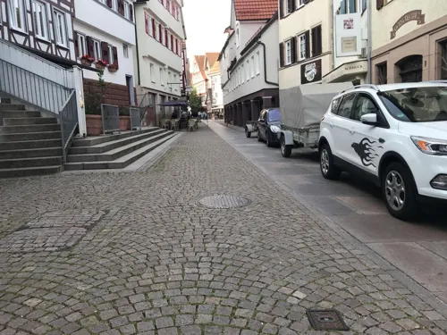

Hermann-Hesse-Museum
Museum
30 Marktplatz, Calw
"Wegen Renovierung geschlossen"



Klostermuseum Hirsau
Museum · 2.3 km
6 Calwer Straße, Calw
Apr-Oct: Tu-Fr 13:00-16:00; Apr-Oct: Sa-Su 12:00-17:00

Ausstellung Bestattungswesen
Museum · 4.3 km
1 Bahnhofstraße, Bad Teinach-Zavelstein
"tagsüber geöffnet"
80 more on the map.
Parks, trails and playgrounds46



Paracelsus Therme
Sports field and stadium · 6.1 km
1 Paracelsusbad, Bad Liebenzell
Mo-Su 09:00-22:00


34 more on the map.
Restaurants and cafes136
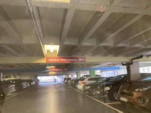

Berghof Rössle
Restaurant · Regional · 6.2 km
74 Bergstraße, Bad Liebenzell
Mo-Fr 11:30-15:00, Mo-Fr 16:30-22:00, Sa 11:00-22:00, Su 11:00-21:00
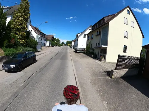
Gasthaus Adler
Restaurant · Regional · 3.2 km
16 Hauptstraße, Calw
Mo-Th 17:00-22:00; Fr,Sa 17:00-23:00; Su 11:00-14:30,17:00-22:00
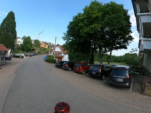
Gourmetrestaurant Berlins Krone
Restaurant · French · 4.4 km
2 Marktplatz, Bad Teinach-Zavelstein
We-Sa 18:00-22:00
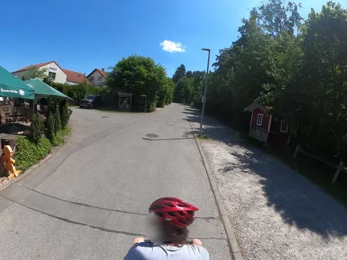
Krabba-Nescht
Restaurant · Regional · 6.3 km
7 Bannstraße, Calw
Mo,We-Fr 17:00-23:00; Su 11:00-22:30; Tu off
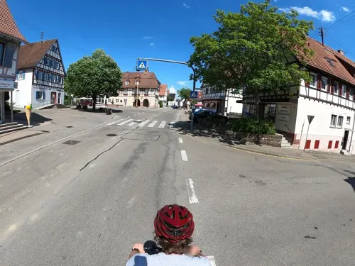
Ristorante Pizzeria Eiscafé da Romeo
Restaurant · Italian · 3.1 km
28 Hauptstraße, Calw
Th,Fr,Su 11:30-14:00, Mo,We-Sa 17:30-21:30, Su 17:30-21:00
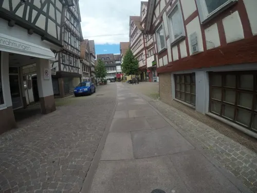
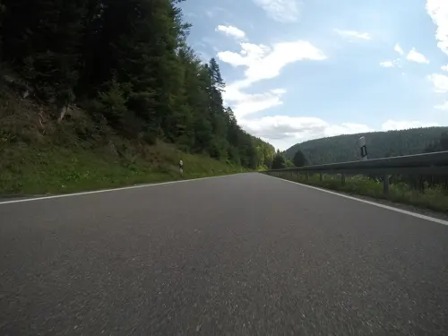
Schloßberghütte
Restaurant · Regional · 4.7 km
Anbindemöglichkeit für Pferde
50 Uhlandstraße, Bad Teinach-Zavelstein
Mo-Su, PH 11:00-17:00; "intermittent"
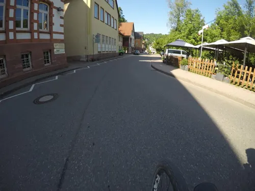


Taverna Dionysos
Restaurant · Greek
54 Badstraße, Calw
Tu-Fr 17:30-21:00; Sa 17:30-22:00; Su 11:30-21:00

Trio 23°
Cafe · Coffee Shop, Ice Cream, Regional, Sandwich, Tea, Breakfast · 6.5 km
6 Sonnenweg, Bad Liebenzell
Mo-We off; Th 13:00-18:00; Fr-Su 10:00-18:00
Veda
Restaurant · Indian · 6.5 km
13 Wilhelmstraße, Bad Liebenzell
Tu-Fr 12:00-14:00,17:00-22:00; Su 12:00-15:00, 17:00-22:00
124 more on the map.
History
Calw was first mentioned in records in 1037. In the 11th century, the town grew around the older castle of the Grafen (Counts/Earls) of Calw. In the Middle Ages, Calw was an important commercial town, especially in the cloth and leather trades. In 1345, Calw became part of Württemberg, and by the 16th century, it had become the summer residence of the Dukes of Württemberg. In the 18th century, Calw flourished from the lumber trade and rafting of timber on the river Nagold.
In 1945, a small subcamp of Natzweiler-Struthof concentration camp, where parts for aircraft were assembled by female Jewish forced laborers, was located here.
After the World War II, Calw fell into the French zone of occupation and thus came to the newly founded state of Württemberg-Hohenzollern in 1947. In 1952, the provisional post-war state in the administrative region of South Württemberg-Hohenzollern merged and has since belonged to the new state of Baden-Württemberg.
The most prominent resident of Calw was the author and Nobel prize winner Hermann Hesse.
From the History section of Calw on Wikipedia, under CC BY-SA 4.0.
Where to stay28
Churches and places of worship40
Aureliuskirche
Church · Roman Catholic · 2.3 km
7 Aureliusplatz, Calw
Shopping40
Gas and EV charging15
Schools, colleges and libraries29
Healthcare14
Gesundheitsquelle Bad Teinach
Clinic and pharmacy · 4.7 km
1 Rathausstraße, Bad Teinach-Zavelstein
Map of Calw
250 places. The map loads OpenStreetMap tiles when you open it.
Getting there and nearby towns
Manfred Rommel Airport Stuttgart (STR) is the nearest airport with scheduled flights listed in OpenStreetMap, 35 km away.
- Weil der Stadt 10 km east, about 10 min by car
- Wildberg 10 km south, about 10 min by car
- Gärtringen 14 km southeast, about 14 min by car
- Herrenberg 16 km southeast, about 16 min by car
- Renningen 16 km northeast, about 16 min by car
- Nagold 18 km south, about 18 min by car
- Rutesheim 18 km northeast, about 18 min by car
- Pforzheim 19 km north, about 19 min by car
- Sindelfingen 20 km east, about 20 min by car
- Leonberg 22 km northeast, about 22 min by car
Drive times are estimates from straight-line distance, not routes.
Local news
Headlines from INDB.
Reviews, tips and questions
Loading what members have shared...
Sources and licences
- GeoNames (CC BY 4.0): population, coordinates, regions and time zone
- Mapillary (see each image): photos
- OpenStreetMap contributors (ODbL 1.0): places, airports, map data
- Wikidata (CC0 1.0): elevation, founding date, time zone, website, landmarks and historic places
- Wikimedia Commons (see each image): photos
- Wikipedia (CC BY-SA 4.0): overview and history text
Photo credits
- Calw-marktplatz02, Softeis, Public domain
- Café am Markt in Calw - panoramio, qwesy qwesy, CC BY 3.0
- Calw-354-Marktplatz-Nr22-14-2026-gje, Gerd Eichmann, CC BY 4.0
- Calw-344-Marktplatz-Nr14-6-2026-gje, Gerd Eichmann, CC BY 4.0
- Calw-336-Marktplatz-Nr10-6-2026-gje, Gerd Eichmann, CC BY 4.0
- Calw-358-Marktplatz-Nr28-24-2026-gje, Gerd Eichmann, CC BY 4.0
- Calw-340-Marktplatz-Nr10-Brunnen-2026-gje, Gerd Eichmann, CC BY 4.0
- Calw-338-Marktplatz-Nr10-2026-gje, Gerd Eichmann, CC BY 4.0
- Calw-352-Marktplatz-Nr20-14-2026-gje, Gerd Eichmann, CC BY 4.0
- Calw-342-Marktplatz-Nr12-2026-gje, Gerd Eichmann, CC BY 4.0
- Calw-312-Marktplatz 7+9-Rathaus-2026-gje, Gerd Eichmann, CC BY 4.0
- Calw-348-Marktplatz-Nr14-2026-gje, Gerd Eichmann, CC BY 4.0
- Calw-346-Marktplatz-Nr14-10-2026-gje, Gerd Eichmann, CC BY 4.0
- Calw-350-Marktplatz-Nr16-2026-gje, Gerd Eichmann, CC BY 4.0
- Calw-332-Marktplatz-Nr8-Nasenschild-2026-gje, Gerd Eichmann, CC BY 4.0
- Calw-310-Marktplatz 7+9-Rathaus-2026-gje, Gerd Eichmann, CC BY 4.0
- Calw-334-Marktplatz-Nr8-2026-gje, Gerd Eichmann, CC BY 4.0
- Fluss Nagold in Calw - panoramio, qwesy qwesy, CC BY 3.0
- Marktstraße in Calw - panoramio, qwesy qwesy, CC BY 3.0
- Calw Bischofstrasse, MSeses, CC BY-SA 3.0
- ENCW Beach in Calw - panoramio, qwesy qwesy, CC BY 3.0
- Bahnhof Calw1, Silesia711, CC BY-SA 4.0
- Nikolauskapelle Calw bei Nacht - panoramio (2011), Dg-505, CC BY 3.0
- Calw-428-Bahnhofstr-Nr2-Nasenschild Posthorn-2026-gje, Gerd Eichmann, CC BY 4.0
- Calw-420-Nikolausbruecke-Hermann Hesse-2026-gje, Gerd Eichmann, CC BY 4.0
- Calw-412-Hermann-Hesse-Platz-Nr1-Cafe Wendland-2026-gje, Gerd Eichmann, CC BY 4.0
- Calw-414-Hermann-Hesse-Platz-Nr2-Roessle-2026-gje, Gerd Eichmann, CC BY 4.0
- Calw-422-Nikolausbruecke-Hermann Hesse-2026-gje, Gerd Eichmann, CC BY 4.0
- Calw-424-Nikolauskapelle-2026-gje, Gerd Eichmann, CC BY 4.0
- Calw-418-Hermann-Hesse-Platz-Nr2-Roessle-2026-gje, Gerd Eichmann, CC BY 4.0
- Calw-426-Nikolauskapelle-2026-gje, Gerd Eichmann, CC BY 4.0
- Calw-416-Hermann-Hesse-Platz-Nr2-Roessle-2026-gje, Gerd Eichmann, CC BY 4.0
- Marktplatz 07 (Calw), qwesy qwesy, CC BY 3.0
- Calw - panoramio (4), qwesy qwesy, CC BY 3.0
- Calw panoramio (cropped), qwesy qwesy, CC BY 3.0
- Hermann-Hesse Brunnen in Calw, RudolfSimon, CC BY-SA 3.0
- Marktplatz Calw - panoramio, qwesy qwesy, CC BY 3.0
- BadLiebenzellKurhaus, Mussklprozz, CC BY-SA 3.0
- Kloster Hirsau 2010, Dagmar Hollmann, CC BY-SA 3.0
- Calw - Marktplatz - 30Hermann-Hesse-Museum 03 ies, Frank Vincentz, CC BY-SA 3.0
- Calw - Bischofstraße - 48Palais Vischer 07 ies, Frank Vincentz, CC BY-SA 3.0
- Feldweg auf der Gebersackhalde im Naturschutzgebiet Gebersack, Gunnar Arndt, CC BY-SA 4.0
- Würm-Heckengäu, Reute - panoramio, qwesy qwesy, CC BY 3.0
- MvLG Altbau, Cmiksch, CC BY-SA 4.0
- Calw-stadtkirche, Softeis, Public domain
- Krokusblüte Zavelstein 4013, Zybukin, CC BY-SA 3.0
- Plan Hörnle und Geißberg, H. Sellmoene, CC BY-SA 4.0
- NSG Simmozheimer Wald - Kiefernbestand und Magerwiese, Friedi13, CC BY-SA 4.0
- Aurelius Hirsau Nordansicht Turmstumpf Nordwest, Moleskine, CC BY-SA 4.0
- Holzbronn Bernhardskirche 04, Giftzwerg 88, CC BY-SA 3.0
- Dreifaltigkeitskirche Bad Teinach 03, Giftzwerg 88, CC BY-SA 3.0
- Bad Teinach-Zavelstein - Zavelstein - Im Städtle + Georgskirche 02 ies, Frank Vincentz, CC BY-SA 3.0
- Calw-Hirsau Klosterkirche Altarraum, MSeses, CC BY-SA 3.0
- Martinskirche Altburg 02, Giftzwerg 88, CC BY-SA 3.0
- Gebäude in Altburg 20, Giftzwerg 88, CC BY-SA 3.0
- Versöhnungskirche Heumaden im Winter, H. Sellmoene, CC BY-SA 4.0
- Evangelische Kirche in Wimberg (Calw) 03, Giftzwerg 88, CC BY-SA 3.0
- Churches in Althengstett Markus Chor, Moleskine, CC BY-SA 4.0
- Martinskirche Calw-Stammheim 05, Giftzwerg 88, CC BY-SA 3.0
- Kirche in Oberkollbach, Samuel Friedrich Klein, CC BY-SA 4.0
- ZfP-Calw Einfahrt, Ikar.us, CC BY 3.0 de
- Bruderhöhle Hirsau - Eingang (2), Danielt, CC BY-SA 3.0
- Adolfshöhe, Zum dankbaren Andenken an den Badbesitzer Adolf Bronn (1845-1893), aus dessen Stiftung 1895 erbaut. - panoramio, qwesy qwesy, CC BY 3.0
- Blick auf Calw, u. a. auf die evangelische Stadtkirche Peter und Paul 1888 im neugotischen Stil wiederaufgebaut und auf "Der Lange", Der ehemalige Turm der Stadtbefestigung diente auch als..., qwesy qwesy, CC BY 3.0
- Street-level photo, tasmaniadevil, CC BY-SA 4.0
- Street-level photo, mfa, CC BY-SA 4.0
- Street-level photo, dooley, CC BY-SA 4.0
- Street-level photo, mfa, CC BY-SA 4.0
- Street-level photo, Planungsgesellschaft_RV-K, CC BY-SA 4.0
- Street-level photo, Planungsgesellschaft_RV-K, CC BY-SA 4.0
- Street-level photo, zee, CC BY-SA 4.0
- Street-level photo, Planungsgesellschaft_RV-K, CC BY-SA 4.0
- Street-level photo, slabby, CC BY-SA 4.0
- Street-level photo, Planungsgesellschaft_RV-K, CC BY-SA 4.0
- Street-level photo, miguel_andrade, CC BY-SA 4.0
- Street-level photo, dooley, CC BY-SA 4.0
- Street-level photo, deleted_user, CC BY-SA 4.0
- Street-level photo, mfa, CC BY-SA 4.0
- Street-level photo, pablopita, CC BY-SA 4.0
- Street-level photo, Planungsgesellschaft_RV-K, CC BY-SA 4.0
- Street-level photo, dooley, CC BY-SA 4.0
- Street-level photo, plexi32, CC BY-SA 4.0


Page built November 8, 2026. Spotted a mistake? Tell us or suggest a place.