


Why visit Lastrup
Townapedia lists 31 museums and landmarks, 33 parks and trails, 26 places to eat, 6 places to stay and 5 attractions in and around town.
Highlights include Großsteingrab im Fuhrenkamp 1, Großsteingrab im Fuhrenkamp 2, Bunner Masuren and Molberger Dose.
Weather in Lastrup
Forecast from MET Norway (CC BY 4.0). Full forecast
About Lastrup
Lastrup (German pronunciation: [ˈlastʁʊp]; Low German: Laastrup) is a municipality in the district of Cloppenburg, in Lower Saxony, Germany. It is situated approximately 15 km southwest of Cloppenburg.
From the Wikipedia article Lastrup (this version), under CC BY-SA 4.0.
Things to do5

Fredrichs Anne
Farm and orchard · 6.7 km
8 Löninger Straße, Löningen

Das Moot wächst
Scenic view · 7.8 km
Freistehender Rahmen für Fotos und Selfi-Point
Museums and landmarks31


Landwehr Hagel
Monument and historic site · 5.6 km
Teilstück 2 [B - C]: 2 parallele Wälle in ca. 25 m Abstand mit jeweils nach N vorgelagerten Gräben. Wallbr. ca. 7 m; H. ca. 0,8 m....

Radiomuseum
Museum · 5.0 km
Radiomuseum & kurioses aus den 30ern, 40ern, 50er, ...
5 An der B213, Löningen
Sa-Su 10:00-16:00

Dwerschsonderling
Monument and historic site · 0.9 km
Um 20 m nach Norden umgesetztes Großsteingrab

Großsteingrab auf dem Sonderling
Monument and historic site · 0.9 km

Wassermühle Gut Duderstadt
Monument and historic site · 6.4 km
3a Graf-Schmiesing-Straße, Löningen
Heiliger Antonius von Padua
Monument and historic site · Catholic · 6.0 km
Garener Ring, Lindern
19 more on the map.
Parks, trails and playgrounds33




Spielplatz am Dorfgemeinschaftshaus Schnelten
Playground · 2.2 km
Hoher Weg, Lastrup
Spielplatz am Dorfgemeinschaftshaus Suhle
Playground · 3.6 km
Hemmelter Straße, Lastrup
21 more on the map.
Restaurants and cafes26

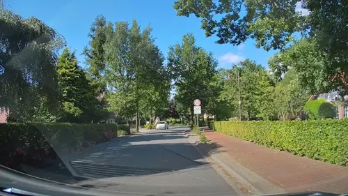
Gaststätte Winkel
Restaurant · Regional, German · 5.2 km
39 Alte Heerstraße, Löningen
We-Su 17:00-22:00

Lodberger Scheunencafe
Cafe · Regional, German, Cake · 6.0 km
1A Dannekamp, Löningen
May-Sep: Fr-Su 14:00-18:00; Oct-Apr: Sa,Su 14:00-18:00
Hofcafe & Saalbetrieb Grunwald
Restaurant · 6.0 km
Veranstaltungslokalität
9 Garener Ring, Lindern
"nach Vereinbarung"

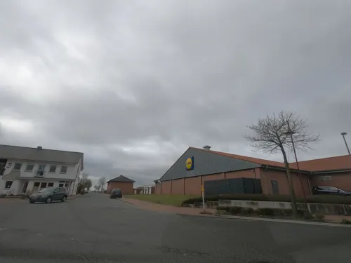
Bäckerei Burrichter
Cafe
5 Vlämische Straße, Lastrup
Mo-Fr 06:00-18:30; Sa 06:00-16:00; Su 07:30-16:30
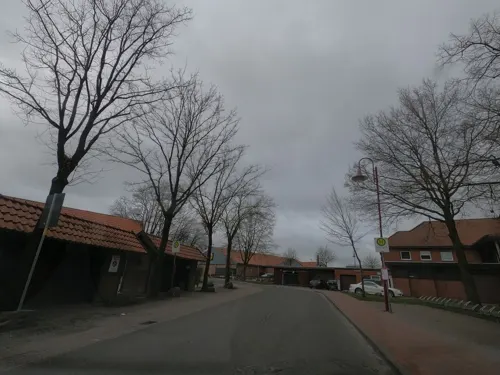


Italien Garten Restaurant & Pizza
Restaurant · Pizza, Regional
2 Hamstruper Straße, Lastrup

14 more on the map.
Where to stay6
Churches and places of worship9
Shopping7
Gas and EV charging10
SB Kartentankstelle Ferdinand Raker
Gas station · 7.8 km
23 Kneheimer Weg, Molbergen
Schools, colleges and libraries8
Healthcare1
Map of Lastrup
136 places. The map loads OpenStreetMap tiles when you open it.
Getting there and nearby towns
Flugplatz Varrelbusch (VAC) is the nearest airport with scheduled flights listed in OpenStreetMap, 17 km away.
- Molbergen 8 km northeast, about 8 min by car
- Löningen 10 km southwest, about 10 min by car
- Cloppenburg 13 km northeast, about 13 min by car
- Quakenbrück 15 km south, about 15 min by car
- Werlte 14 km northwest, about 14 min by car
- Emstek 20 km east, about 20 min by car
- Garrel 21 km northeast, about 21 min by car
- Dinklage 23 km southeast, about 23 min by car
- Sögel 24 km west, about 24 min by car
- Friesoythe 25 km north, about 25 min by car
Drive times are estimates from straight-line distance, not routes.
Local news
Headlines from INDB.
Reviews, tips and questions
Loading what members have shared...
Sources and licences
- GeoNames (CC BY 4.0): population, coordinates, regions and time zone
- Mapillary (see each image): photos
- OpenStreetMap contributors (ODbL 1.0): places, airports, map data
- Wikidata (CC0 1.0): elevation, founding date, time zone, website
- Wikimedia Commons (see each image): photos
- Wikipedia (CC BY-SA 4.0): overview and history text
Photo credits
- Lastrup Dorfpark, Corradox, CC BY-SA 3.0
- St Peter church in Lastrup (10), Krzysztof Golik, CC BY-SA 4.0
- St Peter church in Lastrup (9), Krzysztof Golik, CC BY-SA 4.0
- St Peter church in Lastrup (8), Krzysztof Golik, CC BY-SA 4.0
- St Peter church in Lastrup (4), Krzysztof Golik, CC BY-SA 4.0
- St Peter church in Lastrup (7), Krzysztof Golik, CC BY-SA 4.0
- St Peter church in Lastrup (3), Krzysztof Golik, CC BY-SA 4.0
- St Peter church in Lastrup (5), Krzysztof Golik, CC BY-SA 4.0
- St Peter church in Lastrup (6), Krzysztof Golik, CC BY-SA 4.0
- St Peter church in Lastrup (2), Krzysztof Golik, CC BY-SA 4.0
- St Peter church in Lastrup (1), Krzysztof Golik, CC BY-SA 4.0
- Dorfpark Lastrup 3, Corradox, CC BY 4.0
- Lastrup Dorfpark 2, Corradox, CC BY 4.0
- Auf dem Sonderling, Megalithfan, CC BY-SA 4.0
- Molberger Dose (NSG WE 192) Vernässungsgebiet 05, Stammerjan, CC BY-SA 4.0
- Oldendorfer Hünensteine, Corradox, CC BY-SA 3.0
- Großsteingrab im Fuhrenkamp 1, Megalithicguy, CC BY-SA 4.0
- Dwerschsonderling, Megalithfan, CC BY-SA 4.0
- Kath. Pfarrkirche Lastrup, Philipp Jakob, CC BY-SA 4.0
- St Bonifatius Kirche (2015), GerdHB, CC BY-SA 4.0
- Hemmelte-Kirche, Cec-clp, CC0
- Molberger Dose (NSG WE 192) Wollgras 01, Stammerjan, CC BY-SA 4.0
- Street-level photo, hendel, CC BY-SA 4.0
- Street-level photo, jmsbert, CC BY-SA 4.0
- Street-level photo, thewizard, CC BY-SA 4.0
- Street-level photo, jmsbert, CC BY-SA 4.0
- Street-level photo, jmsbert, CC BY-SA 4.0
- Street-level photo, jman1983, CC BY-SA 4.0
- Street-level photo, jmsbert, CC BY-SA 4.0
- Street-level photo, jmsbert, CC BY-SA 4.0
- Street-level photo, jmsbert, CC BY-SA 4.0


Page built November 9, 2026. Spotted a mistake? Tell us or suggest a place.