


Why visit Contwig
Townapedia lists 10 museums and landmarks, 10 parks and trails, 46 places to eat, 3 places to stay and 8 attractions in and around town.
Highlights include Wahlbacherhof - Naturkost Hofladen Nafziger, Himmelsberg, Auf der Pottschütthöhe and Ice Arena.
Weather in Contwig
Forecast from MET Norway (CC BY 4.0). Full forecast
About Contwig
Contwig (German pronunciation: [ˈkɔntvɪç]) is a municipality in Südwestpfalz district, in Rhineland-Palatinate, western Germany. It has slightly over 5.000 inhabitants, and is part of the Verbandsgemeinde Zweibrücken-Land. Its current mayor is Nadine Brinette, elected in 2021.
From the Wikipedia article Contwig (this version), under CC BY-SA 4.0.
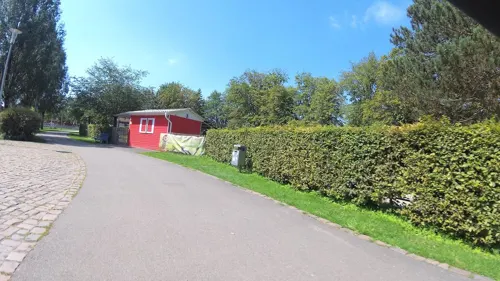
Photos of Contwig


Things to do8

Wahlbacherhof - Naturkost Hofladen Nafziger
Farm and orchard · 3.3 km
1 Wahlbacherhof, Contwig
We 14:00-18:00, Fr 10:00-18:00, Sa 09:00-13:00


Museums and landmarks10

WH 114a/119a
Monument and historic site · 2.0 km
Wehrmachtsstollen, spätere US-Nutzung

Parks, trails and playgrounds10

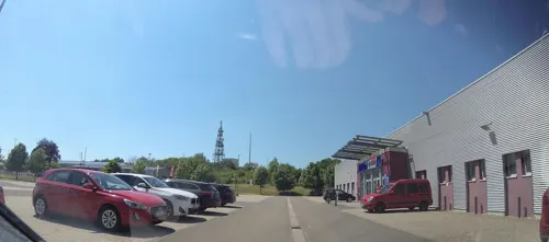




Freibad Zweibrücken
Sports field and stadium · 4.0 km
111 Landauer Straße, Zweibrücken

Restaurants and cafes46

Alter Bahnhof
Restaurant · German · 2.7 km
2 Tschifflick, Zweibrücken
Mo-Tu off, We-Sa 17:30-22:30; Su,PH 11:00-14:30,17:00-22:00
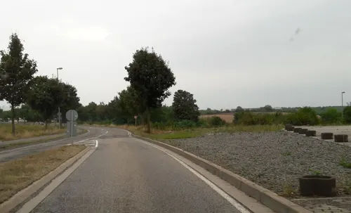
Trattoria la Calabria
Restaurant · Italian, Pizza, Pasta · 3.7 km
21 Straßburger Ring, Zweibrücken
Mo off; Tu 17:30-22:00; We-Fr 11:30-14:00,17:30-22:00; Sa...
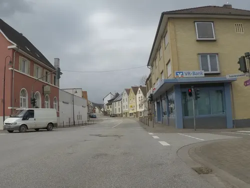
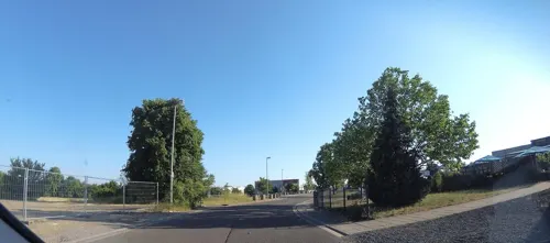
Valentins Wirtshaus
Restaurant · Regional · 4.1 km
11 Geschwister-Scholl-Allee, Zweibrücken
12:00-23:00

Cockpit
Restaurant · 4.3 km
1 Pottschütthöhe, Rieschweiler-Mühlbach
Tu-Su 10:00-22:00
Naturfreundehaus Harzbornhaus
Restaurant · 4.0 km
299 Gersbergerhofstraße, Zweibrücken
Mo-Sa 12:00-21:00; Su 11:00-21:00
Valentins-Biergarten
Restaurant · German · 4.0 km
Mo-Sa 12:00+ "nach Wetterlage"; Su,PH 11:00+ "nach Wetterlage"
34 more on the map.
Notable people from Contwig
 Max SefrinGerman politician (1913-2000)Photo: Peter Heinz Junge, CC BY-SA 3.0 de
Born in Contwig, according to Wikidata (CC0). Each name links to its Wikipedia article.
Where to stay3
Churches and places of worship10
Maria Königin der Engel
Church · Roman Catholic · 2.2 km
25 Dellfelder Straße, Contwig
Freie-evangelische Baptistengemeinde
Church · Baptist · 3.6 km
20 Max-Planck-Straße, Zweibrücken
Freievangelische Christengemeinde
Church · Evangelical · 3.7 km
21 Max-Planck-Straße, Zweibrücken
Shopping13
Gas and EV charging2
Schools, colleges and libraries9
Healthcare1
Map of Contwig
112 places. The map loads OpenStreetMap tiles when you open it.
Getting there and nearby towns
Zweibruecken Airport (ZQW) is the nearest airport with scheduled flights listed in OpenStreetMap, 5 km away.
- Zweibrücken 5 km west, about 5 min by car
- Homburg 11 km northwest, about 11 min by car
- Blieskastel 13 km west, about 13 min by car
- Pirmasens 14 km southeast, about 14 min by car
- Kirkel 15 km west, about 15 min by car
- Rodalben 15 km east, about 15 min by car
- Bexbach 17 km northwest, about 17 min by car
- Waldmohr 17 km northwest, about 17 min by car
- Waldfischbach-Burgalben 17 km east, about 17 min by car
- Neunkirchen 21 km northwest, about 21 min by car
Drive times are estimates from straight-line distance, not routes.
Towns near Contwig


Keep exploring
Local news
Headlines from INDB.
Reviews, tips and questions
Loading what members have shared...
Sources and licences
- GeoNames (CC BY 4.0): population, coordinates, regions and time zone
- Mapillary (see each image): photos
- OpenStreetMap contributors (ODbL 1.0): places, airports, map data
- Wikidata (CC0 1.0): elevation, founding date, time zone, website, landmarks and historic places
- Wikimedia Commons (see each image): photos
- Wikipedia (CC BY-SA 4.0): overview and history text
Photo credits
- LaurentiusKircheContwig, Ramessos, Public domain
- Freibad Contwig - panoramio, Immanuel Giel, CC BY 3.0
- Freibad Contwig - panoramio (2), Immanuel Giel, CC BY 3.0
- Freibad Contwig - panoramio (1), Immanuel Giel, CC BY 3.0
- Karlskirche Zweibruecken 01, Immanuel Giel, Public domain
- Kletterrose Rosengarten ZW, Akinom, Public domain
- Stambach Katholische Kirche, atreyu, CC BY-SA 3.0
- Contwig-St Laurentius-16-gje, Gerd Eichmann, CC BY-SA 4.0
- Outlet Center Zweibrücken pic1, Alf van Beem, Public domain
- Wildrosengarten Zweibrücken, Wilrooij, CC BY-SA 4.0
- Dellfeld Protestantische Kirche 02, atreyu, CC BY-SA 4.0
- Kirche in Zweibruecken 01, Immanuel Giel, Public domain
- Niederauerbach-Kirche-01, Immanuel Giel, CC BY-SA 3.0
- NSG Pottschütthöhe Nordhang, TeKaBe, CC BY-SA 4.0
- Schwarzbachtalbahn-24, Pimvantend, CC BY-SA 3.0
- Schwarzbachtalbahn-25, Pimvantend, CC BY-SA 3.0
- Aerial image of the Zweibrücken airfield, Carsten Steger, CC BY-SA 4.0
- Tschifflicker Burg Grundriss, TeKaBe, CC BY-SA 4.0
- Lustschloss Tschifflik, TeKaBe, CC BY-SA 4.0
- Tschifflicker Burg, TeKaBe, CC BY-SA 4.0
- Rosa 'Oeillet Parfait' 01, Wilrooij, CC BY-SA 4.0
- Rosa 'Oeillet Parfait' 02, Wilrooij, CC BY-SA 4.0
- Rosa 'Miranda' 02, Wilrooij, CC BY-SA 4.0
- Rosa 'Minnehaha' 03, Wilrooij, CC BY-SA 4.0
- Wildrosengarten Zweibrücken 01, Wilrooij, CC BY-SA 4.0
- Street-level photo, teddy73, CC BY-SA 4.0
- Street-level photo, mfk, CC BY-SA 4.0
- Street-level photo, mfk, CC BY-SA 4.0
- Street-level photo, teddy73, CC BY-SA 4.0
- Street-level photo, teddy73, CC BY-SA 4.0
- Street-level photo, teddy73, CC BY-SA 4.0
- Street-level photo, teddy73, CC BY-SA 4.0
- Street-level photo, teddy73, CC BY-SA 4.0
- Street-level photo, teddy73, CC BY-SA 4.0
- Street-level photo, ma_rt_in, CC BY-SA 4.0
- Street-level photo, teddy73, CC BY-SA 4.0
- Street-level photo, teddy73, CC BY-SA 4.0
- Street-level photo, teddy73, CC BY-SA 4.0
- Street-level photo, teddy73, CC BY-SA 4.0
- Street-level photo, teddy73, CC BY-SA 4.0
- Street-level photo, teddy73, CC BY-SA 4.0
- Street-level photo, teddy73, CC BY-SA 4.0
- Street-level photo, teddy73, CC BY-SA 4.0


Page built November 9, 2026. Spotted a mistake? Tell us or suggest a place.