


Dannstadt-Schauernheim, Germany
Verbandsgemeinde Dannstadt-Schauernheim
Dannstadt-Schauernheim is a town of 7,228 people in Rheinland-Pfalz, Germany.
Why visit Dannstadt-Schauernheim
Townapedia lists 23 museums and landmarks, 5 parks and trails, 22 places to eat and 1 place to stay in and around town.
Highlights include Protestantisches Pfarramt, Deutsches Kartoffelmuseum and Sandgrube bei Schauernheim.
Weather in Dannstadt-Schauernheim
Forecast from MET Norway (CC BY 4.0). Full forecast
About Dannstadt-Schauernheim
Dannstadt-Schauernheim is a Verbandsgemeinde ("collective municipality") in the district Rhein-Pfalz-Kreis, in Rhineland-Palatinate, Germany.
From the Wikipedia article Dannstadt-Schauernheim (Verbandsgemeinde) (this version), under CC BY-SA 4.0.
Photos of Dannstadt-Schauernheim


Museums and landmarks23

Protestantisches Pfarramt
Monument and historic site · 2.5 km
Zweieinhalbgeschossiger Putzbau, 1851/52, barocke Bruchsteinnebengebäude 1781, Umfassungsmauer 18. Jahrhundert
20 Hauptstraße, Fußgönheim
Th,Th 09:00-11:30


ehemaliges katholisches Schulhaus
Monument and historic site · 1.6 km
Ehemaliges katholisches Schulhaus mit Lehrerwohnung; eingeschossiger Krüppelwalmdachbau, 1791/92
6 Friedhofstraße, Dannstadt-Schauernheim

ehemaliges von Hallbergsches Schloss
Monument and historic site · 2.2 km
1728–31; Torhaus: spätbarocker Walmdachbau; Schloss: Dreiflügelbau; Katholische Pfarrkirche St. Jakobus Major, Saalbau mit Dachturm,...

Historisches Rathaus
Monument and historic site · 2.4 km
Ehemaliges Rathaus; barocker Walmdachbau, teilweise Fachwerk, bezeichnet 1712; ortsbildprägend
25 Langstraße, Hochdorf-Assenheim

Grabmahl Bernd
Monument and historic site · 1.4 km
Grabstätte Familie Ph. Bernd, Hochrelief, Terrakotta, signiert A. Bernd

Grabmahl Hemke
Monument and historic site · 1.4 km
Grabmäler: Dr. med. R. Hemke († 1971), Bronzehohlguss im Art-déco-Stil von A. Bernd

Dreiseithof
Monument and historic site · 2.1 km
Dreiseithof, erstes Viertel des 19. Jahrhunderts; eineinhalbgeschossiges Wohnhaus, bezeichnet 1824; Nebengebäude, teilweise Fachwerk;...
39 Raiffeisenstraße, Dannstadt-Schauernheim
11 more on the map.
Parks, trails and playgrounds5



Restaurants and cafes22
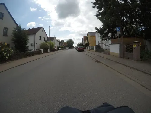
Bäcker Görtz
Cafe · 1.3 km
47 Hauptstraße, Dannstadt-Schauernheim
Mo-Fr 05:30-18:00; Sa 05:30-13:00; Su 07:30-12:00
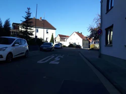
Gasthaus zur Pfalz
Restaurant · German · 1.7 km
Tu-Fr 17:00-22:30; Sa 15:00-22:30; Su 11:00-20:00; Mo off
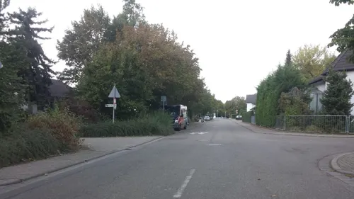
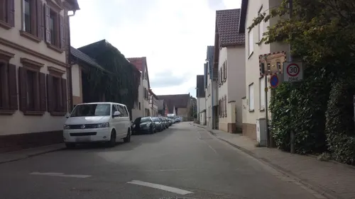
Milano
Restaurant · Pizza · 2.4 km
16 Langstraße, Hochdorf-Assenheim
Mo-Sa 16:30-23:00,Su 12:00-23:00
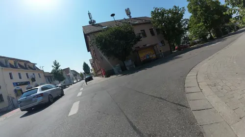
Rhein Orient
Restaurant · Arab · 2.0 km
145 Hauptstraße, Dannstadt-Schauernheim
Tu-Sa 17:00-23:00+; Su 11:00-14:30,17:00-23:00+
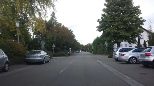
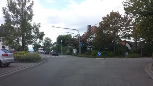
Bäckerei und Konditorei Roman Burdan
Bakery · 1.8 km
Mo-Fr 06:00-12:30,14:00-18:30; Sa 06:00-12:30
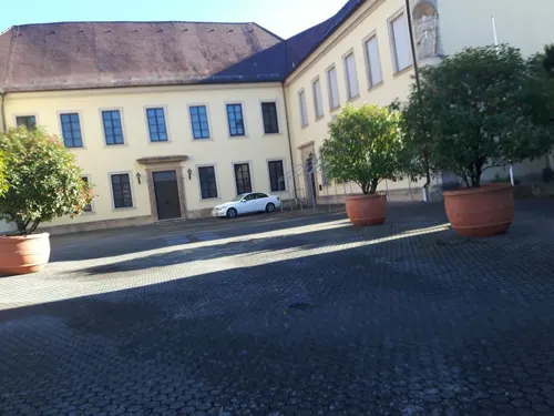

Ristorante Da Lillo & Nicola
Restaurant · Italian · 2.4 km
5 Obere Weide, Dannstadt-Schauernheim
Tu-Su 11:30-14:00,17:00-23:00
Bei-Carlo
Restaurant · 2.1 km
17 Angelstraße, Dannstadt-Schauernheim
Mo-Fr 16:00-24:00, Sa,Su 10:00-01:00
10 more on the map.
Where to stay1

Gästehaus Mina
Motel and hotel
34 Untergasse, Dannstadt-Schauernheim
Churches and places of worship11
Protestantische Pfarrkirche
Church · Protestant · 1.8 km
22 Kirchenstraße, Dannstadt-Schauernheim
Protestantische Pfarrkirche
Church · Protestant · 2.4 km
23 Langstraße, Hochdorf-Assenheim
DITIB Türkisch Islamische Kultur Verein e.V.
Place of worship · 2.0 km
174 Hauptstraße, Dannstadt-Schauernheim
Neuapostolische Kirche
Church · New Apostolic · 2.3 km
40 Langstraße, Hochdorf-Assenheim
Shopping5
Gas and EV charging1
Schools, colleges and libraries4
Katholische öffentliche Bücherei St. Michael
Library · 1.7 km
4 Kirchenstraße, Dannstadt-Schauernheim
Gemeindebücherei Dannstadt
Library · 1.7 km
17 Kirchenstraße, Dannstadt-Schauernheim
Healthcare2
Map of Dannstadt-Schauernheim
74 places. The map loads OpenStreetMap tiles when you open it.
Getting there and nearby towns
City-Airport Mannheim (MHG) is the nearest airport with scheduled flights listed in OpenStreetMap, 15 km away.
- Mutterstadt 3 km east, about 3 min by car
- Maxdorf 5 km north, about 5 min by car
- Limburgerhof 6 km east, about 6 min by car
- Böhl-Iggelheim 7 km south, about 7 min by car
- Schifferstadt 8 km southeast, about 8 min by car
- Lambsheim 8 km north, about 8 min by car
- Neuhofen 9 km east, about 9 min by car
- Haßloch 9 km southwest, about 9 min by car
- Bad Dürkheim 10 km west, about 10 min by car
- Ludwigshafen am Rhein 11 km northeast, about 11 min by car
Drive times are estimates from straight-line distance, not routes.
Towns near Dannstadt-Schauernheim


Keep exploring
Local news
Headlines from INDB.
Reviews, tips and questions
Loading what members have shared...
Sources and licences
- GeoNames (CC BY 4.0): population, coordinates, regions and time zone
- Mapillary (see each image): photos
- OpenStreetMap contributors (ODbL 1.0): places, airports, map data
- Wikidata (CC0 1.0): elevation, founding date, time zone, website
- Wikimedia Commons (see each image): photos
- Wikipedia (CC BY-SA 4.0): overview and history text
Photo credits
- Schauernheim, 67125 Dannstadt-Schauernheim, Germany - panoramio, Immanuel Giel, CC BY 3.0
- 67125 Dannstadt-Schauernheim, Germany - panoramio - Immanuel Giel, Immanuel Giel, CC BY 3.0
- 67125 Dannstadt-Schauernheim, Germany - panoramio, Immanuel Giel, CC BY 3.0
- Dannstadt-Schauernheim Rathaus 20120829, Rudolf Stricker, Attribution
- 67125 Dannstadt-Schauernheim, Germany - panoramio (1), Immanuel Giel, CC BY 3.0
- Fußgönheim Protestantischer Pfarrhof, Wegavision, CC0
- DannstadtFriedhofstr6a, Wegavision, CC0
- Schloss Fussgoenheim 01, Immanuel Giel, Public domain
- Historisches Rathaus Assenheim, Prekario, CC BY-SA 3.0
- DannstadtGrabmalBernd, Wegavision, CC0
- DannstadtGrabmalHemke, Wegavision, CC0
- Katholische Kirche in Dannstadt 01, -- Immanuel Giel 12:42, 21 May 2008 (UTC), Public domain
- Protestanische Kirche in Dannstadt 02, -- Immanuel Giel 12:36, 21 May 2008 (UTC), Public domain
- Assenheim evangelische Kirche, Immanuel Giel, Public domain
- Synagoge Fussgoenheim 01, Immanuel Giel, Public domain
- Protestantische Kirche Fussgoenheim 01, Immanuel Giel, Public domain
- Melanchthonkirche Schauernheim, Immanuel Giel, Public domain
- Deutsches Kartoffelmuseum 01, Immanuel Giel, Public domain
- Fussgönheim Synagoge IMG 20171014 120609, Altera levatur, CC BY-SA 4.0
- Stiefelchen - panoramio, Immanuel Giel, CC BY 3.0
- Schauernheim Protestantische Melanchtonkirche 20160421, Rudolf Stricker, Attribution
- Schauernheim Katholische Pfarrkirche St. Cäcilia 20160421, Rudolf Stricker, Attribution
- Maria an St. Caecilia - panoramio, Immanuel Giel, CC BY 3.0
- St. Caecilia - panoramio, Immanuel Giel, CC BY 3.0
- Schauernheim - panoramio - Immanuel Giel (1), Immanuel Giel, CC BY 3.0
- Peugeot 206 CC (2006) (53369601272), Charles from Port Chester, New York, CC BY 2.0
- A65 - Kreuz 7, Mutterstadt (1000m) - geo.hlipp.de - 29110, Sebastian und Kari on geo.hlipp.de, CC BY-SA 2.0
- Langer Stein (Schauernheim) 03, Schwalbe, CC BY-SA 4.0
- Langer Stein (Schauernheim) 02, Schwalbe, CC BY-SA 4.0
- Langer Stein (Schauernheim) 04, Schwalbe, CC BY-SA 4.0
- Langer Stein (Schauernheim) 05, Schwalbe, CC BY-SA 4.0
- Langer Stein (Schauernheim) 01, Schwalbe, CC BY-SA 4.0
- Dannstadt - Schauernheim - geo.hlipp.de - 2497, Sebastian und Kari on geo.hlipp.de, CC BY-SA 2.0
- Peugeot 206 CC (2003) (53370956800), Charles from Port Chester, New York, CC BY 2.0
- Schauernheim - panoramio - Immanuel Giel, Immanuel Giel, CC BY 3.0
- Kraftwerk Mannheim, Das Ding ist ja fast von überall zu sehen. - panoramio, Immanuel Giel, CC BY 3.0
- Denkmal Feuriger Elias in Dannstadt, Ginko Cidre, CC BY-SA 4.0
- Das markante Haus an der Ampel - panoramio, Immanuel Giel, CC BY 3.0
- Weg zwischen Schauernheim und Fußgönheim - panoramio, Immanuel Giel, CC BY 3.0
- Steinmetz - panoramio, Immanuel Giel, CC BY 3.0
- Schlosspark Fußgönheim - panoramio, Immanuel Giel, CC BY 3.0
- Street-level photo, mfa, CC BY-SA 4.0
- Street-level photo, changchun1, CC BY-SA 4.0
- Street-level photo, changchun1, CC BY-SA 4.0
- Street-level photo, changchun1, CC BY-SA 4.0
- Street-level photo, changchun1, CC BY-SA 4.0
- Street-level photo, bct, CC BY-SA 4.0
- Street-level photo, changchun1, CC BY-SA 4.0
- Street-level photo, wegavision, CC BY-SA 4.0
- Street-level photo, atze02, CC BY-SA 4.0
- Street-level photo, wegavision, CC BY-SA 4.0
- Street-level photo, changchun1, CC BY-SA 4.0
- Street-level photo, teddy73, CC BY-SA 4.0
- Street-level photo, mfa, CC BY-SA 4.0
- Street-level photo, changchun1, CC BY-SA 4.0
- Street-level photo, teddy73, CC BY-SA 4.0
- Street-level photo, mfa, CC BY-SA 4.0
- Street-level photo, wegavision, CC BY-SA 4.0
- Street-level photo, wegavision, CC BY-SA 4.0
- Street-level photo, teddy73, CC BY-SA 4.0
- Street-level photo, atze02, CC BY-SA 4.0
- Street-level photo, changchun1, CC BY-SA 4.0
- Street-level photo, changchun1, CC BY-SA 4.0
- Street-level photo, wegavision, CC BY-SA 4.0
- Street-level photo, ramap, CC BY-SA 4.0
- Street-level photo, mfa, CC BY-SA 4.0
- Street-level photo, teddy73, CC BY-SA 4.0
- Street-level photo, changchun1, CC BY-SA 4.0


Page built November 9, 2026. Spotted a mistake? Tell us or suggest a place.