


Why visit Dötlingen
Townapedia lists 72 museums and landmarks, 35 parks and trails, 69 places to eat, 13 places to stay and 10 attractions in and around town.
Highlights include Spargelhof Mahlstedt, Hofladen Hagel Alpakas, Druckereimuseum and Großsteingrab "Dötlinger Steingrab".
Weather in Dötlingen
Forecast from MET Norway (CC BY 4.0). Full forecast
About Dötlingen
Dötlingen is a municipality in the district of Oldenburg, in Lower Saxony, Germany. It is situated approximately 6 km northeast of Wildeshausen, and 25 km southeast of Oldenburg at the Hunte river. The Nazis gave Dötlingen the title Musterdorf von Deutschland, 'model village of Germany'. In Dötlingen are many stone graves, and some species of plants and animals only exist there.
From the Wikipedia article Dötlingen (this version), under CC BY-SA 4.0.
Things to do10

Spargelhof Mahlstedt
Farm and orchard · 6.4 km
Verkauf von Spargel (Mitte Mai bis Ende Juni); Schnittgrün (ab Oktober) und Weihnachtsbäume (2 Wochen vor Weihnachten)
9 Holzhausen, Wildeshausen
Apr-Jun 09:00-12:00, 14:00-18:00
Hofladen Hagel Alpakas
Farm and orchard · 6.8 km
Verkauf von Produkten aus Alpaka Wolle (Kleidung, Strickgarn, Kuscheltiere)
2 Hageler Höhe, Großenkneten
Nov,Dec Fr 16:00-18:00; Nov,Dec Sa 10:00-12:00 || "oder jederzeit...


Gierenberg
Scenic view
Besondere Hangsituation am Terrassenrand zum Huntetal, Sandheide auf der Kuppe.

Museums and landmarks72

Druckereimuseum
Museum · 5.5 km
13 Bahnhofstraße, Wildeshausen
"Führung nach Vereinbarung"





60 more on the map.
Parks, trails and playgrounds35






23 more on the map.
Restaurants and cafes69

Am Huntepadd
Restaurant · German
Seit 2026 "Hotel Huntepadd" mit Cafe, Restaurant und Hotel; früherer Name "Landhotel Dötlingen"
6 Rittrumer Kirchweg, Dötlingen
Mo,We 17:00-21:30; Th 14:00-21:30; Fr,Su 09:00-21:30; Sa 09:00-22:30
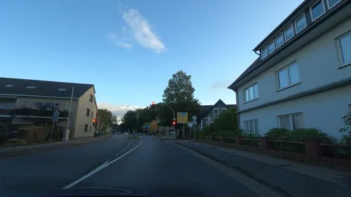
Al-To
Restaurant · Mediterranean · 5.9 km
1 Huntetor, Wildeshausen
Mo-Sa 17:00-23:00; PH,Su 12:00-14:30,17:00-22:00
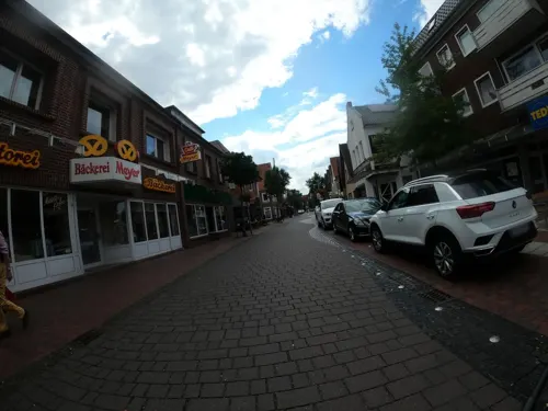
Kavala
Restaurant · Greek · 5.3 km
4 Am Krandel, Wildeshausen
Mo-Fr 17:00-23:00; Sa,Su 12:00-14:00,17:00-22:00
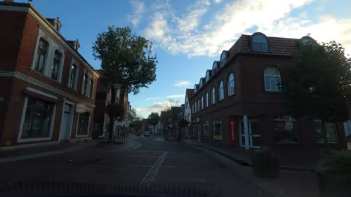
Taiyo
Restaurant · Asian Sushi · 5.8 km
2 Sögestraße, Wildeshausen
Tu-Sa 11:00-15:00,17:00-22:00; Su,PH 12:00-15:00,17:00-22:00; Mo off

Landbäckerei Diekhaus
Bakery · 5.7 km
18 Westerstraße, Wildeshausen
Mo-Fr 07:00-18:00; Sa 07:00-13:00; Su 07:30-12:00


Brockshus Konditorei-Bäckerei-Café
Bakery
5 Ostertor, Dötlingen
Mo-Fr 06:30-12:00,14:30-18:00;Sa 06:30-13:00
57 more on the map.
Where to stay13
Churches and places of worship8
Neuapostolische Kirche Dötlingen
Church · New Apostolic
5 Goldbergsweg, Dötlingen
Imam Al Harariye Moschee
Place of worship · 6.4 km
14 Daimlerstraße, Wildeshausen
Shopping20
ELAWI Eisenwaren Werkzeuge Langfermann
Hardware store · 6.1 km
53 Visbeker Straße, Wildeshausen
Gas and EV charging13
Schools, colleges and libraries14
Fachschule Heilerziehungspflege Akademie für Rehaberufe Wildeshausen
School · 6.5 km
Healthcare6
Map of Dötlingen
250 places. The map loads OpenStreetMap tiles when you open it.
Getting there and nearby towns
Flugplatz Varrelbusch (VAC) is the nearest airport with scheduled flights listed in OpenStreetMap, 23 km away.
- Wildeshausen 6 km southeast, about 6 min by car
- Großenkneten 9 km west, about 9 min by car
- Visbek 12 km southwest, about 12 min by car
- Hatten 13 km north, about 13 min by car
- Ganderkesee 16 km northeast, about 16 min by car
- Goldenstedt 17 km south, about 17 min by car
- Wardenburg 18 km northwest, about 18 min by car
- Emstek 19 km southwest, about 19 min by car
- Hude 20 km north, about 20 min by car
- Delmenhorst 21 km northeast, about 21 min by car
Drive times are estimates from straight-line distance, not routes.
Local news
Headlines from INDB.
Reviews, tips and questions
Loading what members have shared...
Sources and licences
- GeoNames (CC BY 4.0): population, coordinates, regions and time zone
- Mapillary (see each image): photos
- OpenStreetMap contributors (ODbL 1.0): places, airports, map data
- Wikidata (CC0 1.0): elevation, founding date, time zone, website
- Wikimedia Commons (see each image): photos
- Wikipedia (CC BY-SA 4.0): overview and history text
Photo credits
- Dötlingen Erntefest, Corradox, CC BY-SA 4.0
- St. Firminus (Dötlingen) Infotafel, Gerd Fahrenhorst, CC BY 4.0
- Kirche Dötlingen 3, ClausNe, CC BY-SA 4.0
- Kirche Dötlingen 2, ClausNe, CC BY-SA 4.0
- Kirche Dötlingen 6, ClausNe, CC BY-SA 4.0
- Kirche Dötlingen 4, ClausNe, CC BY-SA 4.0
- Kirche Dötlingen 5, ClausNe, CC BY-SA 4.0
- Kirche Dötlingen 1, ClausNe, CC BY-SA 4.0
- Dötlingen Bauerngarten Dorfgarten, Corradox, CC BY 4.0
- Dötlingen-Kirche-1, -- Frank Poppe 17:39, 24. Mai 2007 (CEST), Public domain
- Bargloyer Steinkiste - Gesamtansicht, XenonX3, CC0
- NSG WE079 Huntloser Moor, Ralf Krebs, CC BY 3.0
- Dötlingen-Teil der zerstörten Großsteingräber, -- Frank Poppe 17:50, 24. Mai 2007 (CEST), Public domain
- Großsteingrab Mühlensteine 11, Einsamer Schütze, CC BY-SA 3.0
- Steenbeqrg, Travus ( talk ) 10:41, 26 May 2012 (UTC), CC BY-SA 3.0
- NSG WE091 Hatter Holz, Ralf Krebs, CC BY 3.0
- Varnhorn Schmeersteine, Corradox, CC BY-SA 3.0
- Großsteingrab Glaner Braut 3 06, Einsamer Schütze, CC BY-SA 3.0
- Poggenpohlsmoor, Jacek Rużyczka, CC BY-SA 4.0
- Alexanderkirche Wildeshausen halfstraight, Jacek79 , adaption Ulamm ( talk ), CC BY-SA 3.0
- Großenkneter Kirche, WilfriedC (Wilfried Cordes), CC BY-SA 3.0
- St. Peter (Wildeshausen), Volker.Ramsloh ; shifted by Rabanus Flavus, CC BY-SA 3.0
- Druckereimuseum Wildeshausen, Stefan Flöper, CC BY-SA 4.0
- Baudenkmal Wildeshausen Huntetor 8 Villa Hoffmannshöhe, Gmbo 2013, CC0
- ND101 Gierenberg in Dötlingen, Ralf Krebs, CC BY 3.0
- Dötlingen - Großsteingrab Jungsteinzeit 4000-1800 v. Chr. 03, Franzfoto, CC BY-SA 3.0
- J POI 101 Sandhatten Steingrab Steenberg 2022-06-28, Pathumthani, CC BY-SA 4.0
- LSG OL00025 Birkenbusch, Ralf Krebs, CC BY 3.0
- Muehlensteine-Varnhorn-b, Holger rix, CC BY-SA 3.0
- ArboretumSchild, Ludecus Werner Pickart, CC BY 3.0
- WildUndFreizeitparkOstrittrum EntranceArea, Hendrik Finke, CC BY-SA 4.0
- Linteler Kirchweg im Reiherholz, Ralf Krebs, CC BY 3.0
- J POI 112 Doetlingen 1000-jaerige Eiche 2022-06-30, Pathumthani, CC BY-SA 4.0
- Dorfeiche-Doetlingen, Hartmut.krummrei, CC BY-SA 3.0
- J POI 111 Doetlingen Info 1000-jaehrige Eiche 2022-06-30, Pathumthani, CC BY-SA 4.0
- J POI 106 Info Doetlinger Steingrab 2022-06-30, Pathumthani, CC BY-SA 4.0
- J POI 107 Doetlinger Steingrab 2022-06-30, Pathumthani, CC BY-SA 4.0
- Age-worn door latch and lock on well-weathered planks - original image Kodachrome 25 colour reversal film, May 1980 ( DSC1340), Franz van Duns, CC BY-SA 4.0
- J POI 085 Doetlinger Trauerschnaeppermeile 2022-06-21, Pathumthani, CC BY-SA 4.0
- Glaner Braut im Schnee, Jacek Rużyczka, CC BY-SA 4.0
- Street-level photo, camdrive2000, CC BY-SA 4.0
- Street-level photo, hendel, CC BY-SA 4.0
- Street-level photo, camdrive2000, CC BY-SA 4.0
- Street-level photo, VIA_KK, CC BY-SA 4.0
- Street-level photo, camdrive2000, CC BY-SA 4.0
- Street-level photo, mjay, CC BY-SA 4.0
- Street-level photo, hendel, CC BY-SA 4.0
- Street-level photo, DerMaster0815, CC BY-SA 4.0
- Street-level photo, moenk, CC BY-SA 4.0
- Street-level photo, VIA_KK, CC BY-SA 4.0
- Street-level photo, camdrive2000, CC BY-SA 4.0
- Street-level photo, DerMaster0815, CC BY-SA 4.0
- Street-level photo, VIA_KK, CC BY-SA 4.0
- Street-level photo, moenk, CC BY-SA 4.0
- Street-level photo, camdrive2000, CC BY-SA 4.0
- Street-level photo, camdrive2000, CC BY-SA 4.0
- Street-level photo, DerMaster0815, CC BY-SA 4.0
- Street-level photo, VIA_KK, CC BY-SA 4.0
- Street-level photo, VIA_KK, CC BY-SA 4.0
- Street-level photo, VIA_KK, CC BY-SA 4.0
- Street-level photo, hendel, CC BY-SA 4.0
- Street-level photo, VIA_KK, CC BY-SA 4.0
- Street-level photo, moenk, CC BY-SA 4.0
- Street-level photo, moenk, CC BY-SA 4.0


Page built November 9, 2026. Spotted a mistake? Tell us or suggest a place.