


Why visit Eltmann
Townapedia lists 27 museums and landmarks, 9 parks and trails, 43 places to eat, 6 places to stay and 13 attractions in and around town.
Highlights include Ebelsberg, Spitzberg, Schloss Gleisenau and Suehnekreuz.
Weather in Eltmann
Forecast from MET Norway (CC BY 4.0). Full forecast
About Eltmann
Eltmann (German pronunciation: [ˈɛltˌman] ) is a town of 5256 inhabitants (in the Haßberge district of Lower Franconia, in Bavaria, Germany. It lies on the south bank of the Main river, 18 km (11 mi) west of Bamberg. It comprises the town proper, and its outlying districts, Dippach, Eschenbach, Limbach, Lembach, Roßstadt, and Weissbrunn, as well as an industrial district. Eltmann lies within the Naturpark Steigerwald.
From the Wikipedia article Eltmann (this version), under CC BY-SA 4.0.
Things to do13





1 more on the map.
Museums and landmarks27

Schloss Gleisenau
Monument and historic site · 2.3 km
58 Georg-Schäfer-Straße, Ebelsbach


Meilenstein
Monument and historic site · 4.8 km
Bayrische Stundensäule an der ST 2277 östlich Sand am Main.
Schloss Ebelsbach - Torhaus
Monument and historic site · 1.4 km
10 Stettfelder Straße, Ebelsbach
15 more on the map.
Parks, trails and playgrounds9


Vogelfreistätte Graureiherkolonie bei Dippach am Main
Hiking and trails · 3.8 km




Restaurants and cafes43
Alte Rose Gasthaus
Cafe · Sandwich, Ice Cream, International, German, Coffee Shop · 2.7 km
1 Dorfstraße, Ebelsbach
Mo,Tu,Th-Su 15:00-20:00
Musik Kneipe Eltman
Bar and pub · Diner · 1.2 km
1d Industriestraße, Eltmann
Su-Mo, Th 18:00-23:00; Fr-Sa 18:00-02:00
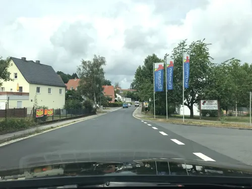
Hotel Landgasthof Wallburg
Restaurant
1 Wallburgstraße, Eltmann
Mo-Sa 16:30+; Th off; Su 11:00-14:30,16:30+
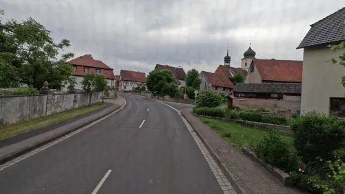
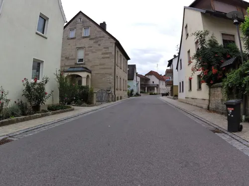
Gasthaus Engel
Restaurant · Bavarian · 4.9 km
18 Frankenstraße, Eltmann
Fr-Su 14:30-22:00

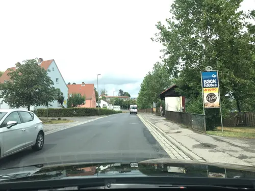
Pizza Salu
Restaurant · Italian
1 Weingartenstraße, Eltmann
Mo-Su 17:00-23:00


31 more on the map.
History
Founded c. 741 during a period of expansion of civil administration and military fortifications in the Franconian region, Eltmann is first mentioned in 8th-century historical records as "Altimoin" or "Eltimoin", interpreted as "on the upper Main", or perhaps more appropriately as "by the old Main", perhaps denoting its location on a side channel of the Main river. Eltmann was granted rights as a town in 1335 during the reign of Holy Roman Emperor Ludwig the Bavarian. The first use of the spelling "Eltmann" appears in records from 1456, but the spelling was not finally standardized until the 17th century.
Although the town proper was largely spared any destruction during World War Two, a nearby ball bearing plant was attacked by American heavy bombers of the 92nd Bomb Group (H) on July 21, 1944, and severely damaged.
From the History section of Eltmann on Wikipedia, under CC BY-SA 4.0.
Where to stay6
Churches and places of worship33
Evang.-Lutherische Kirche Gleisenau
Church · Lutheran · 2.4 km
8 Kirchstraße, Ebelsbach
St. Maria Magdalena
Church · Roman Catholic · 1.4 km
9 Georg-Schäfer-Straße, Ebelsbach
Shopping7
Gas and EV charging5
Schools, colleges and libraries4
Healthcare4
Map of Eltmann
151 places. The map loads OpenStreetMap tiles when you open it.
Getting there and nearby towns
Verkehrslandeplatz Burg Feuerstein (URD) is the nearest airport with scheduled flights listed in OpenStreetMap, 39 km away.
- Priesendorf 8 km southeast, about 8 min by car
- Haßfurt 13 km northwest, about 13 min by car
- Walsdorf 14 km southeast, about 14 min by car
- Rattelsdorf 17 km east, about 17 min by car
- Burgwindheim 17 km south, about 17 min by car
- Bamberg 19 km southeast, about 19 min by car
- Zapfendorf 20 km east, about 20 min by car
- Hofheim in Unterfranken 21 km northwest, about 21 min by car
- Frensdorf 22 km southeast, about 22 min by car
- Schlüsselfeld 24 km south, about 24 min by car
Drive times are estimates from straight-line distance, not routes.
Local news
Headlines from INDB.
Reviews, tips and questions
Loading what members have shared...
Sources and licences
- GeoNames (CC BY 4.0): population, coordinates, regions and time zone
- Mapillary (see each image): photos
- OpenStreetMap contributors (ODbL 1.0): places, airports, map data
- Wikidata (CC0 1.0): elevation, founding date, time zone, website
- Wikimedia Commons (see each image): photos
- Wikipedia (CC BY-SA 4.0): overview and history text
Photo credits
- Eltmann Pan W, Fornax, CC BY-SA 3.0
- Eltmann, Schottenstraße 13, cultural heritage monument 02, Nemracc, CC BY-SA 4.0
- Eltmann, Schottenstraße 13, cultural heritage monument 01, Nemracc, CC BY-SA 4.0
- Eltmann, Schottenstraße 13, cultural heritage monument 03, Nemracc, CC BY-SA 4.0
- Eltmann, city wall, Alte Mauer 16, Nemracc, CC BY-SA 4.0
- Eltmann, Promenade street 01, Nemracc, CC BY-SA 4.0
- Eltmann, emblem of the former brewery "Lamm-Bräu", Marktplatz 11, Nemracc, CC BY-SA 4.0
- Eltmann, former brewery "Lamm-Bräu", Marktplatz 11, Nemracc, CC BY-SA 4.0
- Eltmann, former townhall entrance, Marktplatz 9, Nemracc, CC BY-SA 4.0
- Eltmann, former townhall, Marktplatz 9, Nemracc, CC BY-SA 4.0
- Eltmann old timber framed house 01, Nemracc, CC BY-SA 4.0
- Eltmann old timber framed house 02, Nemracc, CC BY-SA 4.0
- Eltmann, Stadtmauer, Zinkenstraße 5, 001, Tilman2007, CC BY-SA 3.0
- Eltmann, city wall, Alte Mauer 5, Nemracc, CC BY-SA 4.0
- Eltmann door P2RM0042, Ermell, CC BY-SA 4.0
- Eltmann Rathaus Tür P2RM0040, Ermell, CC BY-SA 4.0
- Eltmann town hall P2RM0041, Ermell, CC BY-SA 4.0
- Eltmann house P2RM0039, Ermell, CC BY-SA 4.0
- Eltmann Fassade 0418, Ermell, CC BY-SA 4.0
- Eltmann stadthalle 0423, Ermell, CC BY-SA 4.0
- Eltmann church door 0421, Ermell, CC BY-SA 4.0
- Eltmann Set025from P2RM0049-HDR, Ermell, CC BY-SA 4.0
- Eltmann organ loft P2RM0044-HDR, Ermell, CC BY-SA 4.0
- Eltmann Kirche P2RM0054-HDR, Ermell, CC BY-SA 4.0
- Eltmann Atlas am Rathaus 0424, Ermell, CC BY-SA 4.0
- Eltmann church door P2RM0037, Ermell, CC BY-SA 4.0
- D-6-74-133-23 Zwei Scheunen, 1464-65(Alte Mauer 6) und 1765-66(Alte Mauer 5), Eltmann, Stephan van Helden, CC BY-SA 4.0
- Eltmann Osterbrunnen-20180330-RM-172511, Ermell, CC BY-SA 4.0
- D-6-74-133-23 Scheune, 1765-66, Alte Mauer 5, Eltmann, Stephan van Helden, CC BY-SA 4.0
- D-6-74-133-23 Scheune, 1464-65, Alte Mauer 6, Eltmann 2, Stephan van Helden, CC BY-SA 4.0
- Eltmann Osterbrunnen-20180330-RM-172421, Ermell, CC BY-SA 4.0
- D-6-74-133-23 Hausfigur, Mainstraße 6, Eltmann 2, Stephan van Helden, CC BY-SA 4.0
- D-6-74-133-23 Hausfigur, Mainstraße 6, Eltmann, Stephan van Helden, CC BY-SA 4.0
- Eltmann Kirche 0426, Ermell, CC BY-SA 4.0
- Ensemble Mainstraße (Eltmann), Gliwi, CC BY-SA 4.0
- Eltmann part of the old city wall, cultural heritage monument 01, Nemracc, CC BY-SA 4.0
- Eltmann door and gate at Mainstr. 10, cultural heritage monument, Nemracc, CC BY-SA 4.0
- Eltmann door at Mainstr. 10, cultural heritage monument 01, Nemracc, CC BY-SA 4.0
- Eltmann door at Mainstr. 10, cultural heritage monument 02, Nemracc, CC BY-SA 4.0
- Aerial image of Schloss Gleisenau (view from the southeast), Carsten Steger, CC BY-SA 4.0
- Pilgrimage Church of the Visitation of the Virgin Mary Limbach, Eltmann-20220418-RM-152904, Ermell, CC BY-SA 4.0
- Gleisenau, Evangelische Pfarrkirche-002, Tilman2007, CC BY-SA 3.0
- Dippach 1, Fornax, CC BY-SA 3.0
- Eltmann, Marktplatz, Stadtpfarrkirche, 001, Tilman2007, CC BY-SA 3.0
- D-6-74-133-78 Saalkirche St Georgius, Roßstadt, Stephan van Helden, CC BY-SA 4.0
- Katholische Kirche St. Jacobus Trossenfurt 02, Nemracc, CC BY-SA 4.0
- Stettfeld-Pfarrkirche-Mariae-Himmelfahrt, Störfix, CC BY-SA 3.0 de
- Zeil Ziegelanger Kirche, Fornax, CC BY-SA 3.0
- Ebelsbach St. Maria Magdalena 01, ErwinMeier, CC BY-SA 4.0
- Ebelsberg vom Drei-Eichen-Blick (2), Stephan van Helden, CC BY-SA 4.0
- Der Frühling naht - in der Ruhe liegt die Kraft (4), Monika Miederhoff, CC BY 3.0
- Auf dem Pfaffenberg, Stephan van Helden, CC BY-SA 4.0
- Unterer Tretzendorfer Weiher, Stephan van Helden, CC BY-SA 3.0
- Blick vom Spitzelberg Richtung Dippach, Stephan van Helden, CC BY-SA 4.0
- Blick vom Spitzberg bei Sand auf Altmain und Sandmagerrasen bei Limbach, Stephan van Helden, CC BY-SA 4.0
- Wiese auf dem Hühnerberg bei Steinbach, Stephan van Helden, CC BY-SA 4.0
- Blick vom Kirchberg bei Schönbach, Stephan van Helden, CC BY-SA 4.0
- Castle Schmachtenberg, Zeil am Main, tower and gate, Nemracc, CC BY-SA 3.0
- Waldweg am Schönberg, Stephan van Helden, CC BY-SA 4.0
- Schönbach-Friedhofskreuz, Störfix, CC BY-SA 3.0 de
- Street-level photo, r66, CC BY-SA 4.0
- Street-level photo, bct, CC BY-SA 4.0
- Street-level photo, bct, CC BY-SA 4.0
- Street-level photo, r66, CC BY-SA 4.0
- Street-level photo, bct, CC BY-SA 4.0
- Street-level photo, ramap, CC BY-SA 4.0
- Street-level photo, BerndGo64, CC BY-SA 4.0
- Street-level photo, zoegglmeyr, CC BY-SA 4.0
- Street-level photo, r66, CC BY-SA 4.0
- Street-level photo, bct, CC BY-SA 4.0
- Street-level photo, bct, CC BY-SA 4.0
- Street-level photo, bct, CC BY-SA 4.0
- Street-level photo, ramap, CC BY-SA 4.0
- Street-level photo, bct, CC BY-SA 4.0
- Street-level photo, wegavision, CC BY-SA 4.0
- Street-level photo, r66, CC BY-SA 4.0
- Street-level photo, zoegglmeyr, CC BY-SA 4.0
- Street-level photo, bct, CC BY-SA 4.0
- Street-level photo, bct, CC BY-SA 4.0
- Street-level photo, BerndGo64, CC BY-SA 4.0
- Street-level photo, bct, CC BY-SA 4.0
- Street-level photo, bct, CC BY-SA 4.0
- Street-level photo, BerndGo64, CC BY-SA 4.0
- Street-level photo, wegavision, CC BY-SA 4.0
- Street-level photo, r66, CC BY-SA 4.0


Page built November 9, 2026. Spotted a mistake? Tell us or suggest a place.