


Why visit Priesendorf
Townapedia lists 7 museums and landmarks, 1 park or trail, 11 places to eat and 3 places to stay in and around town.
Highlights include Burg Lisberg and Schloss Trabelsdorf.
Weather in Priesendorf
Forecast from MET Norway (CC BY 4.0). Full forecast
About Priesendorf
Priesendorf is a municipality in the Upper Franconian district of Bamberg and a member of the administrative community (Verwaltungsgemeinschaft) of Lisberg.
From the Wikipedia article Priesendorf (this version), under CC BY-SA 4.0.
Museums and landmarks7

Burg Lisberg
Monument and historic site · 2.8 km
Cultural heritage monument in Lisberg, Bavaria


Pflugscharstein
Monument and historic site · 1.7 km
Pflugschar und Haumesser oder Pflugsäge vertieft eingemeißelt



Parks, trails and playgrounds1

Restaurants and cafes11




Where to stay3



History
Priesendorf belonged to the Barons Münster at Lisberg and was part of the knightly estate of Lisberg. With the Act of the Confederation of the Rhine in 1806, the community passed to Bavaria.
From the History section of Priesendorf on Wikipedia, under CC BY-SA 4.0.
Churches and places of worship11
Heiligste Dreifaltigkeit
Church · Roman Catholic · 2.9 km
3 Burg, Lisberg
Maria Himmelfahrt
Church · Catholic · 2.7 km
19 Oberst-Klarmann-Straße, Oberaurach
Shopping1
Schools, colleges and libraries2
Healthcare1
Map of Priesendorf
37 places. The map loads OpenStreetMap tiles when you open it.
Getting there and nearby towns
Verkehrslandeplatz Burg Feuerstein (URD) is the nearest airport with scheduled flights listed in OpenStreetMap, 33 km away.
- Walsdorf 7 km southeast, about 7 min by car
- Bamberg 14 km east, about 14 min by car
- Haßfurt 20 km northwest, about 20 min by car
- Hirschaid 22 km southeast, about 22 min by car
- Höchstadt an der Aisch 24 km south, about 24 min by car
- Bad Staffelstein 30 km northeast, about 30 min by car
- Forchheim 33 km southeast, about 33 min by car
- Lichtenfels 36 km northeast, about 36 min by car
- Schweinfurt 38 km northwest, about 38 min by car
- Erlangen 41 km southeast, about 41 min by car
Drive times are estimates from straight-line distance, not routes.
Local news
Headlines from INDB.
Reviews, tips and questions
Loading what members have shared...
Sources and licences
- GeoNames (CC BY 4.0): population, coordinates, regions and time zone
- Mapillary (see each image): photos
- OpenStreetMap contributors (ODbL 1.0): places, airports, map data
- Wikidata (CC0 1.0): elevation, founding date, time zone, website, landmarks and historic places
- Wikimedia Commons (see each image): photos
- Wikipedia (CC BY-SA 4.0): overview and history text
Photo credits
- Sankt-Bartholomäus-Priesendorf-3270053hdr, ermell, CC BY-SA 4.0
- Sankt-Bartholomäus-Priesendorf-3270048hdr, ermell, CC BY-SA 4.0
- Sankt-Bartholomäus-Priesendorf-3270063hdrPS, ermell, CC BY-SA 4.0
- Sankt-Bartholomäus-Priesendorf-3270058hdr, ermell, CC BY-SA 4.0
- Sankt-Bartholomäus-Priesendorf-3270043hdr, ermell, CC BY-SA 4.0
- Priesendorf Krippe 2019-20200105-RM-150711, Ermell, CC BY-SA 4.0
- Brewery Schrüfer, glass of dark German lager (Dunkel), Priesendorf, Upper Franconia, Nemracc, CC BY-SA 4.0
- Priesendorf Kriegerdenkmal-20200105-RM-150136, Ermell, CC BY-SA 4.0
- Priesendorf Osterbrunnen 2016 -20160327-RM-151433, Ermell, CC BY-SA 4.0
- Marienkapelle-Priesendorf-3270032hdr, ermell, CC BY-SA 4.0
- BurgLisberg, Ramessos, Public domain
- Pfarrer-Schöller-Ring 1 Priesendorf 20210426 176, Tilman2007, CC BY-SA 4.0
- Kirchaich St.Ägidius Kirche 2019-20200105-RM-155710, Ermell, CC BY-SA 4.0
- Hauptstraße 20 Priesendorf 20180328 001, Tilman2007, CC BY-SA 4.0
- Lisberg, Trabelsdorfer Schloss-003, Tilman2007, CC BY-SA 3.0
- Lisberg, Trabelsdorf, Ev. Kirche, 001, Tilman2007, CC BY-SA 3.0
- Lisberg-Kirche-P2147632, ermell, CC BY-SA 4.0
- Lisberg Kirche Luftaufnahme-20211009-RM-160221, Ermell, CC BY-SA 4.0
- Hauptstraße 20 Priesendorf 20210426 166, Tilman2007, CC BY-SA 4.0
- Fire-fighting-facility node-5482319568, Jungkunz, CC BY 2.0
- Fire-fighting-facility node-5480640303, Jungkunz, CC BY 2.0
- Fire-fighting-facility node-5482323528, Jungkunz, CC BY 2.0
- Fire-fighting-facility node-5480641719, Jungkunz, CC BY 2.0
- Fire-fighting-facility node-5480641928, Jungkunz, CC BY 2.0
- Fire-fighting-facility node-5482304842, Jungkunz, CC BY 2.0
- Fire-fighting-facility node-5482322126, Jungkunz, CC BY 2.0
- Fire-fighting-facility node-5482322825, Jungkunz, CC BY 2.0
- Fire-fighting-facility node-5518028917, Jungkunz, CC BY 2.0
- Fire-fighting-facility node-5482328800, Jungkunz, CC BY 2.0
- Fire-fighting-facility node-5480637304, Jungkunz, CC BY 2.0
- Fire-fighting-facility node-5517890279, Jungkunz, CC BY 2.0
- Fire-fighting-facility node-5482307731, Jungkunz, CC BY 2.0
- Fire-fighting-facility node-5480643588, Jungkunz, CC BY 2.0
- Fire-fighting-facility node-5482334741, Jungkunz, CC BY 2.0
- Fire-fighting-facility node-5482303324, Jungkunz, CC BY 2.0
- Fire-fighting-facility node-5482335622, Jungkunz, CC BY 2.0
- Fire-fighting-facility node-5480639090, Jungkunz, CC BY 2.0
- Fire-fighting-facility node-5482299457, Jungkunz, CC BY 2.0
- Fire-fighting-facility node-5482341014, Jungkunz, CC BY 2.0
- Fire-fighting-facility node-5480645796, Jungkunz, CC BY 2.0
- D-4-71-173-7 Pflugscharstein, Kr HAS 25 (Eltmann), Stephan van Helden, CC BY-SA 4.0
- D-4-71-207-30 Messinger Herrgott (Viereth-Trunstadt) (Rückseite), Stephan van Helden, CC BY-SA 4.0
- An der Charlottenruhe beim Friedleinsbrunnen, Stephan van Helden, CC BY-SA 4.0
- D-6-74-133-92 Jagdgrenzstein (Weg nach Roßstadt), Stephan van Helden, CC BY-SA 4.0
- Brewery Beck-Bräu, brew pub (Braugasthof ) in Trabelsdorf-Lisberg, Upper Franconia 01, Nemracc, CC BY-SA 4.0
- Weiher (Viereth-Trunstadt) Brauerei Kundmüller Schäufala Schäufele, Nemracc, CC BY-SA 4.0
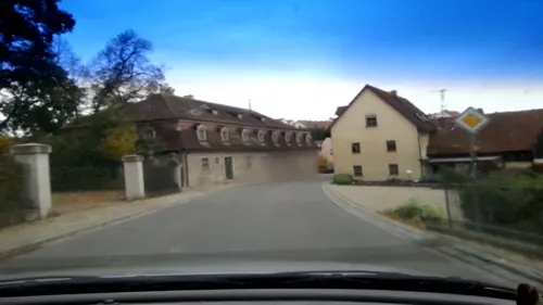
- Street-level photo, r66, CC BY-SA 4.0
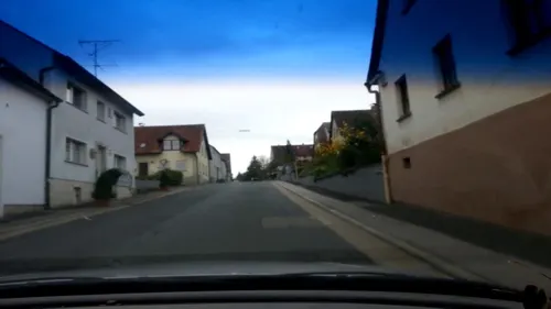
- Street-level photo, r66, CC BY-SA 4.0
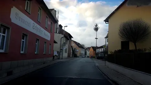
- Street-level photo, r66, CC BY-SA 4.0
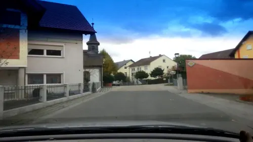
- Street-level photo, hannsnf, CC BY-SA 4.0
- Street-level photo, r66, CC BY-SA 4.0
- Street-level photo, r66, CC BY-SA 4.0
- Street-level photo, r66, CC BY-SA 4.0
- Street-level photo, r66, CC BY-SA 4.0
- Street-level photo, r66, CC BY-SA 4.0
- Street-level photo, r66, CC BY-SA 4.0
- Street-level photo, r66, CC BY-SA 4.0
- Street-level photo, r66, CC BY-SA 4.0
- Street-level photo, r66, CC BY-SA 4.0


Page built November 9, 2026. Spotted a mistake? Tell us or suggest a place.