


Why visit Frensdorf
Townapedia lists 15 museums and landmarks, 4 parks and trails, 40 places to eat, 4 places to stay and 6 attractions in and around town.
Highlights include E.T.A.-Hoffmann-Theater, Theater am Michelsberg, Schwedenkreuz and Bauernmuseum Bamberger Land.
Weather in Frensdorf
Forecast from MET Norway (CC BY 4.0). Full forecast
About Frensdorf
Frensdorf is a municipality in the Upper Franconian district of Bamberg.
From the Wikipedia article Frensdorf (this version), under CC BY-SA 4.0.
Things to do6

E.T.A.-Hoffmann-Theater
Cinema and theater · 8.4 km
Theatre in Bamberg, Germany

Theater am Michelsberg
Cinema and theater · 8.6 km
Theatre in Bamberg, Germany


Museums and landmarks15

Schwedenkreuz
Monument and historic site · 5.6 km
Steinkreuz, ein Schenkel teilweise abgebrochen; vermutlich spätmittelalterlich
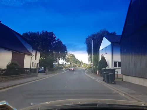

Historical Museum Bamberg
Museum · 8.3 km
Museum in Bamberg managing various historical locations with galleries

Schloss Weißenstein
Museum · 6.9 km
Castle in Pommersfelden, Bavaria; cultural heritage monument D-4-71-172-31 (0)

Franzosenmarter
Monument and historic site · 4.5 km
Fundament; Säule mit gebrochenen Kanten; Aufsatz mit dreiseitigem Relief (Kreuzigungsgruppe, der hl. Petrus und der hl. Matthäus); auf...

Hans-Kaspars-Marter
Monument and historic site · 2.5 km
Mühlstein-Fundament; hochrechteckiger Sockel mit Engelskopf und Inschrift, Mühlrad, Blumen und hinten diamantiert; Runde Säule: 145cm,...
Hl. Nikolaus
Monument and historic site · 1.3 km
Gemauertes Häuschen mit vergitterter Bildnische; ziegelgedecktes Satteldach; in der Bildnische ein Kupferblech-Relief des Hl. Bischof Nikolaus

Lieb Herrchäla
Monument and historic site · 5.0 km
Gebauchter Sockel mit Altartisch; barocker Bildstock; Bildnische mit Kreuzschlepper-Relief; Satteldach mit Ziegeleindeckung. Den...
Die Rot Marter
Monument and historic site · 5.5 km
Holzmarter mit drei Einkerbungen; am unteren Teil Messingschild mit Inschrift; im oberen Teil ein verziertes Holzkreuz; An dieser Stelle...
Die Weiß Marter
Monument and historic site · 4.7 km
Marter mit Ruhstein und verziertem Eisenkreuz
3 more on the map.
Parks, trails and playgrounds4



Restaurants and cafes40

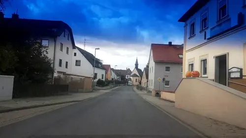
Privatbrauerei Barnikel
Restaurant · Regional · 3.0 km
5 Dorfstraße, Frensdorf
Mo-Su 10:00-23:00; We off
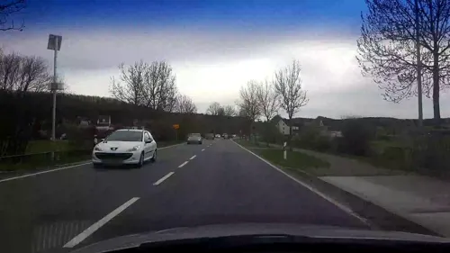
Wirtshaus Melber
Restaurant · Bavarian · 3.9 km
18 Höfener Hauptstraße, Stegaurach
Tu-Sa 14:00-22:00; Su,PH 11:00-22:00; Mo off
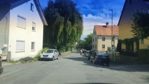
Brauerei-Gasthof Müller
Restaurant · Regional · 4.6 km
Tu,Th,Fr 16:30-22:00; Sa 11:00-14:00,16:30-22:00; Su,PH...
Franken-Hotel Blaue Grotte
Restaurant · German · 4.7 km
Th-Sa 17:00-22:00; Su 11:00-14:00,17:00-22:00
Schmausenkeller
Restaurant · 2.1 km
13 Am Bahnhof, Frensdorf
Mo,We-Fr 15:45-22:00; Sa 12:00-22:00; Su 11:00-22:00; Tu off


28 more on the map.
History
The Lords of Abenberg made Frensdorf into the administrative hub of their holdings in the Bamberg area in the 12th century. They were, like the Andechs Meranians who followed them about 1190, Vögte (sing. Vogt – reeve) of the High Monastery at Bamberg, among whose holdings lay Frensdorf until the Reichsdeputationshauptschluss in 1803, since which time the community has belonged to Bavaria.
From the History section of Frensdorf on Wikipedia, under CC BY-SA 4.0.
Where to stay4
Churches and places of worship25
Mariä Himmelfahrt
Church · Roman Catholic · 3.9 km
25a Höfener Hauptstraße, Stegaurach
St. Antonius Abbas
Church · Roman Catholic · 4.3 km
35, Pommersfelden
St. Jakobus der Ältere
Church · Roman Catholic · 3.0 km
1 Am Seeberg, Frensdorf
St. Otto
Church · Roman Catholic · 1.8 km
10 Reundorfer Hauptstraße, Frensdorf
Unbefleckte Empfängnis Mariens
Church · Roman Catholic · 5.5 km
2 Bamberger Straße, Stegaurach
Shopping6
Gas and EV charging4
Schools, colleges and libraries6
Healthcare3
Map of Frensdorf
113 places. The map loads OpenStreetMap tiles when you open it.
Getting there and nearby towns
Verkehrslandeplatz Burg Feuerstein (URD) is the nearest airport with scheduled flights listed in OpenStreetMap, 19 km away.
- Pettstadt 5 km east, about 5 min by car
- Pommersfelden 7 km southwest, about 7 min by car
- Hirschaid 9 km east, about 9 min by car
- Walsdorf 8 km northwest, about 8 min by car
- Bamberg 9 km north, about 9 min by car
- Höchstadt an der Aisch 13 km south, about 13 min by car
- Litzendorf 15 km northeast, about 15 min by car
- Priesendorf 15 km northwest, about 15 min by car
- Hemhofen 16 km south, about 16 min by car
- Forchheim 18 km southeast, about 18 min by car
Drive times are estimates from straight-line distance, not routes.
Local news
Headlines from INDB.
Reviews, tips and questions
Loading what members have shared...
Sources and licences
- GeoNames (CC BY 4.0): population, coordinates, regions and time zone
- Mapillary (see each image): photos
- OpenStreetMap contributors (ODbL 1.0): places, airports, map data
- Wikidata (CC0 1.0): elevation, founding date, time zone, website, landmarks and historic places
- Wikimedia Commons (see each image): photos
- Wikipedia (CC BY-SA 4.0): overview and history text
Photo credits
- Frensdorf Bahnhof 2127, Ermell, CC BY-SA 4.0
- Frensdorf Pfarrkirche St. Johannes, Barbaraglessinger, CC BY-SA 4.0
- Frensdorf Kirche P4RM1622, Ermell, CC BY-SA 4.0
- Frensdorf Kirche P4RM1594, Ermell, CC BY-SA 4.0
- Frensdorf Marktplatz Wegkapelle, Barbaraglessinger, CC BY-SA 4.0
- Frensdorf Osterbrunnen-20170423-RM-145517, Ermell, CC BY-SA 4.0
- Frensdorf-easter-fountain-P4032546, ermell, CC BY-SA 4.0
- Frensdorf pulpit P4RM1617, Ermell, CC BY-SA 4.0
- Frensdorf Orgelrempore P4RM1605, Ermell, CC BY-SA 4.0
- Frensdorf Kruzifix P4RM1614, Ermell, CC BY-SA 4.0
- Frensdorf Orgel P4RM1608, Ermell, CC BY-SA 4.0
- Frensdorf Kirche Altarraum P4RM1602, Ermell, CC BY-SA 4.0
- Frensdorf Kirche P4RM1595, Ermell, CC BY-SA 4.0
- Frensdorf Hauptstraße 27 Pfarrscheune, Barbaraglessinger, CC BY-SA 4.0
- Frensdorf-Scheune-6268408, ermell, CC BY-SA 4.0
- Frensdorf-Scheune-6268410, ermell, CC BY-SA 4.0
- Frensdorf-Kruzifix-6268412, ermell, CC BY-SA 4.0
- Frensdorf Wegkreuz, Barbaraglessinger, CC BY-SA 4.0
- Ostertag, Schloss Frensdorf um 1837, Staatsbibliothek Bamberg, MvO A III 85. Foto Gerald Raab, Staatsbibliothek Bamberg, CC BY-SA 4.0
- Frensdorf im Schloß 7, Barbaraglessinger, CC BY-SA 4.0
- Frensdorf-Haus-P1050052, Ermell, CC BY-SA 4.0
- Frensdorf-Kruzifix-P1050053, Ermell, CC BY-SA 4.0
- Frensdorf Reundorfer Straße 5, Barbaraglessinger, CC BY-SA 4.0
- Frensdorf Kruzifix, Barbaraglessinger, CC BY-SA 4.0
- Frensdorf Hauptstraße 5 Auszüglhaus, Barbaraglessinger, CC BY-SA 4.0
- Frensdorf Hauptstraße 5 Stall, Barbaraglessinger, CC BY-SA 4.0
- Frensdorf Hauptstraße 5, Barbaraglessinger, CC BY-SA 4.0
- Frensdorf Bahnhof 2130, Ermell, CC BY-SA 4.0
- Frensdorf Bahnübergang 2129, Ermell, CC BY-SA 4.0
- Frensdorf Kaulberg 10, Barbaraglessinger, CC BY-SA 4.0
- Frensdorf Bahnhof - panoramio, Christian Lederer, CC BY 3.0
- Bamberg Theater Eingang, Photo: Andreas Praefcke, CC BY 3.0
- Bamberg-Alte Hofhaltung-Fassade, Reinhard Kirchner, CC BY-SA 3.0
- Aerial image of the Schloss Weißenstein, Carsten Steger, CC BY-SA 4.0
- Universitaet Bamberg 03, Immanuel Giel, Public domain
- Bamberg Klinikum am Bruderwald-20121216-RM-112908, Ermell, CC BY-SA 4.0
- Kirche-Pettstadt-Altäre-Interieur-1000802, Ermell, CC BY-SA 4.0
- Herrnsdorf Pfarrkirche Jakobus, Barbaraglessinger, CC BY-SA 4.0
- Frensdorf-Reundorf St Otto 2016, Benreis, CC BY 3.0
- Stegaurach-18, Immanuel Giel, CC BY-SA 3.0
- Röbersdorf Kirche Luftbild-20240428-RM-154316, Reinhold Möller, CC BY-SA 4.0
- D-4-71-191-10 Kreuzstein, sogenanntes Schwedenkreuz, Lutz Horn, CC BY-SA 4.0
- Pettstadt Bildstock P3280008, Ermell, CC BY-SA 4.0
- Pettstadt Bildstock 3280015, Ermell, CC BY-SA 4.0
- Naturwaldreservat Wolfsruhe, Ermell, CC BY-SA 3.0
- Schweinbach Kapelle 190677, Ermell, CC BY-SA 4.0
- Vorra-Kirche-P1050013, Ermell, CC BY-SA 4.0
- Höfen-Kirche-P8053773, ermell, CC BY-SA 4.0
- Sambach Pommersfelden St. Antonius der Einsiedler 2016, Benreis, CC BY 3.0
- Street-level photo, r66, CC BY-SA 4.0
- Street-level photo, r66, CC BY-SA 4.0
- Street-level photo, r66, CC BY-SA 4.0
- Street-level photo, r66, CC BY-SA 4.0
- Street-level photo, r66, CC BY-SA 4.0
- Street-level photo, r66, CC BY-SA 4.0
- Street-level photo, r66, CC BY-SA 4.0
- Street-level photo, r66, CC BY-SA 4.0
- Street-level photo, r66, CC BY-SA 4.0
- Street-level photo, r66, CC BY-SA 4.0
- Street-level photo, r66, CC BY-SA 4.0
- Street-level photo, r66, CC BY-SA 4.0
- Street-level photo, r66, CC BY-SA 4.0
- Street-level photo, r66, CC BY-SA 4.0
- Street-level photo, r66, CC BY-SA 4.0
- Street-level photo, r66, CC BY-SA 4.0
- Street-level photo, r66, CC BY-SA 4.0
- Street-level photo, r66, CC BY-SA 4.0
- Street-level photo, r66, CC BY-SA 4.0
- Street-level photo, r66, CC BY-SA 4.0
- Street-level photo, r66, CC BY-SA 4.0


Page built November 9, 2026. Spotted a mistake? Tell us or suggest a place.