


Why visit Schlüsselfeld
Townapedia lists 26 museums and landmarks, 12 parks and trails, 33 places to eat, 10 places to stay and 4 attractions in and around town.
Highlights include Düllberg, Galgenberg, Bruderkreuz and Soldatengrab.
Weather in Schlüsselfeld
Forecast from MET Norway (CC BY 4.0). Full forecast
About Schlüsselfeld
Schlüsselfeld (German pronunciation: [ˈʃlʏsl̩ˌfɛlt] ) is a town on the southwestern edge of the Upper Franconian district (Landkreis) of Bamberg
From the Wikipedia article Schlüsselfeld (this version), under CC BY-SA 4.0.
Things to do4

Museums and landmarks26

Bruderkreuz
Monument and historic site · 5.7 km
Kreuzstein (rechter Kreuzbalken fehlt) mit eingeritztem Kreuz und Sichel

Soldatengrab
Monument and historic site · 3.6 km
Spät mittelalterliches Steinkreuz, Arme teilweise abgeschlagen


Schmiedsstein
Monument and historic site · 3.6 km
Steinkreuz mit abgerundeten Enden, Kopfstück teilweise abgeschlagen mit dem Rest eines Eisenkreuzes. Im Zentrum rechteckige Vertiefung....
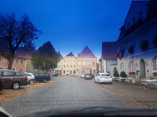
Käppala
Monument and historic site · 1.6 km
Sockel; Häuschen mit vergitterter Bildnische und Satteldach
Pfaffenmarter
Monument and historic site · 5.2 km
Drei Sockel, am oberen Sockel eine Bildtafel hinter Glas mit Motiv der Ermordung des Pfarrers Valentin Gesell; Kruzifix
St. Wendelin
Monument and historic site · 6.6 km
Häuschen mit ziegelgedecktem Satteldach; vergitterte Bildnische; Holzfigur des heiligen Wendelin
Stele der Biodiversität - Rambach
Monument and historic site · 2.8 km
Artenschutzturm; ehemalige Transformatorenturmstation

14 more on the map.
Parks, trails and playgrounds12

Steigerwald Nature Park
Park · 3.9 km
Nature park in Bavaria, Germany





Restaurants and cafes33
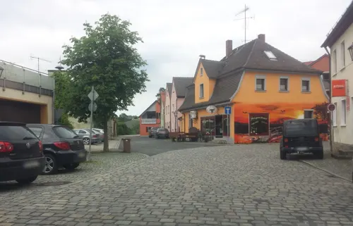
Fu Jian
Restaurant · Chinese · 3.0 km
6 Marktplatz, Burghaslach
We-Sa 17:30-22:00; Sa,Su,PH 11:30-14:30,17:30-22:00
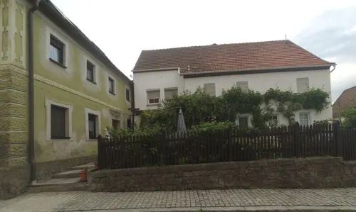
Melbers Schoppeneck
Restaurant · Regional · 3.1 km
2 Neustädter Straße, Burghaslach
Tu-Fr 11:00-13:00,17:00+; Sa,Su 11:00+




21 more on the map.
History
Schlüsselfeld was founded on 10 June 1336 by Konrad von Schlüsselberg. He was granted the right to found a town by Holy Roman Emperor Ludwig IV. After its founder's death, Schlüsselfeld passed to the Bishops of Bamberg and Würzburg. Through a compromise, Würzburg also acquired Bamberg's share of the town in 1390.
In 1396, the market town of Schlüsselfeld had its town rights confirmed.
The Würzburg Bishops built Schlüsselfeld up into an Amt and chose as their Amt seat the Thüngfeld Castle (Thüngfelder Schloss).
The town hall built in 1723 declares the following in a Latin inscription:
“This house hates unrest, loves peace, punishes crime, upholds the law, honours goodness. ”
As part of the Würzburg High Monastery, the tithing centre (Centamt) of Schlüsselfeld was secularized in Bavaria’s favour in 1803, passed in 1805 with the Peace of Pressburg to the newly formed Grand Duchy of Würzburg, and then eventually, after territorial adjustments in 1810, was returned to Bavaria. In the course of administrative reform in Bavaria, today’s community came into being under the Gemeindeedikt (“Community Edict”) of 1818.
From the History section of Schlüsselfeld on Wikipedia, under CC BY-SA 4.0.
Where to stay10
Churches and places of worship28
St. Johannes der Täufer
Church · Roman Catholic
14 Kirchplatz, Schlüsselfeld
Shopping5
Gas and EV charging5
Schools, colleges and libraries5
Healthcare1
Map of Schlüsselfeld
129 places. The map loads OpenStreetMap tiles when you open it.
Getting there and nearby towns
Sonderlandeplatz Kitzingen (KZG) is the nearest airport with scheduled flights listed in OpenStreetMap, 30 km away.
- Burgwindheim 8 km north, about 8 min by car
- Höchstadt an der Aisch 15 km east, about 15 min by car
- Pommersfelden 14 km east, about 14 min by car
- Walsdorf 17 km northeast, about 17 min by car
- Priesendorf 18 km north, about 18 min by car
- Neustadt an der Aisch 20 km south, about 20 min by car
- Weisendorf 21 km southeast, about 21 min by car
- Pettstadt 24 km east, about 24 min by car
- Bamberg 26 km northeast, about 26 min by car
- Herzogenaurach 28 km southeast, about 28 min by car
Drive times are estimates from straight-line distance, not routes.
Local news
Headlines from INDB.
Reviews, tips and questions
Loading what members have shared...
Sources and licences
- GeoNames (CC BY 4.0): population, coordinates, regions and time zone
- Mapillary (see each image): photos
- OpenStreetMap contributors (ODbL 1.0): places, airports, map data
- Wikidata (CC0 1.0): elevation, founding date, time zone, website, landmarks and historic places
- Wikimedia Commons (see each image): photos
- Wikipedia (CC BY-SA 4.0): overview and history text
Photo credits
- StadttorSchlüsselfeld, Settembrini, CC BY 3.0
- Geusfeld 003, Janericloebe, CC BY-SA 3.0
- DreifrankensteinWappenMittelfranken, Settembrini, CC BY 3.0
- Kirchrimbach Christuskirche 002, Tilman2007, CC BY 3.0
- Pretzdorf St. Katharina Luftbild-20241013-RM-153106, Reinhold Möller, CC BY-SA 4.0
- Schluesselfeld BW 2013-06-18 17-39-40, Berthold Werner, CC BY-SA 3.0
- Schlüsselfeld, Marienkapelle, 001, Tilman2007, CC BY-SA 3.0
- Elsendorf Kirche 8255494, Ermell, CC BY-SA 4.0
- Schlüsselfeld, Hohn am Berg, St, Gallus, 003, Tilman2007, CC BY-SA 3.0
- St Sebastian Reichmannsdorf 01, Immanuel Giel, CC BY-SA 4.0
- Sühnekreuz- D-4-71-122-44, Lothur, CC0
- Soldatengrab-Debersdorf, Lothur, CC0
- Kirchplatz 12a Burghaslach 20210408 019, Tilman2007, CC BY-SA 4.0
- Thüngfeld 52 Schlüsselfeld 20210408 080, Tilman2007, CC BY-SA 4.0
- Thüngfeld Kirche Luftbild-20230604-RM-160715, Ermell, CC BY-SA 4.0
- Kirchrimbach Kirche-20210314-RM-160930, Ermell, CC BY-SA 4.0
- Pretzdorf St. Katharina Luftbild-20241013-RM-153048, Reinhold Möller, CC BY-SA 4.0
- Pfarrkirche St. Johannes der Täufer Schlüsselfeld - Ostansicht 2023, Hank6665, CC BY-SA 4.0
- Schlüsselfeld, Thüngfeld, St. Bartholomäus, 001, Tilman2007, CC BY-SA 3.0
- Street-level photo, r66, CC BY-SA 4.0
- Street-level photo, wegavision, CC BY-SA 4.0
- Street-level photo, wegavision, CC BY-SA 4.0
- Street-level photo, r66, CC BY-SA 4.0
- Street-level photo, r66, CC BY-SA 4.0
- Street-level photo, r66, CC BY-SA 4.0
- Street-level photo, r66, CC BY-SA 4.0
- Street-level photo, r66, CC BY-SA 4.0
- Street-level photo, r66, CC BY-SA 4.0
- Street-level photo, r66, CC BY-SA 4.0
- Street-level photo, derlipper, CC BY-SA 4.0
- Street-level photo, wegavision, CC BY-SA 4.0
- Street-level photo, chri_som, CC BY-SA 4.0
- Street-level photo, wegavision, CC BY-SA 4.0
- Street-level photo, r66, CC BY-SA 4.0
- Street-level photo, r66, CC BY-SA 4.0
- Street-level photo, r66, CC BY-SA 4.0
- Street-level photo, poxonline, CC BY-SA 4.0


Page built November 9, 2026. Spotted a mistake? Tell us or suggest a place.