


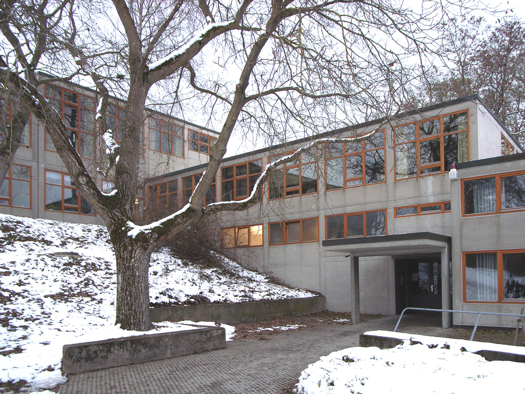


Why visit Eselsberg
Townapedia lists 85 museums and landmarks, 13 parks and trails, 118 places to eat, 10 places to stay and 14 attractions in and around town.
Highlights include AuGuSTheater Neu-Ulm, Theater Ulüm, Kienlesbergbastion (Werk X) and Steinzeitdorf Ehrenstein.
Weather in Eselsberg
Forecast from MET Norway (CC BY 4.0). Full forecast
Things to do14

AuGuSTheater Neu-Ulm
Cinema and theater · 3.7 km
Building in Neu-Ulm, Swabia, Germany
Theater Ulüm
Cinema and theater · 3.2 km
Building in Ulm, Tübingen Government Region, Bade-Württemberg, Germany



2 more on the map.
Museums and landmarks85


Fort Oberer Eselsberg Hauptwerk (Werk XXXVI)
Monument and historic site · 1.8 km
8 Staudingerstraße, Ulm


73 more on the map.
Parks, trails and playgrounds13

Botanischer Garten der Universität Ulm
Park · 1.5 km
Mar 01-Oct 15 09:00-20:00; Oct 16-Feb 28 09:00-16:30


1 more on the map.
Restaurants and cafes118
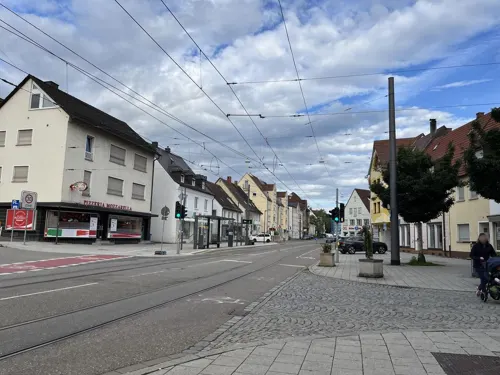
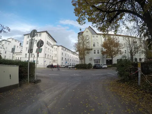
Blauflesch
Restaurant · German · 2.2 km
2 Lindenstraße
Mo-Sa 11:30-14:00, 17:00-22:00; Su 11:30-14:00, 17:00-21:30

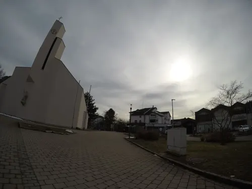

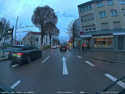
Shalimar
Restaurant · Indian · 2.1 km
142 Söflinger Straße, Ulm
Tu-Sa 11:30-14:30,17:00-22:00; Su 13:00-22:00
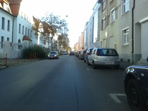
Smyrna
Restaurant · International · 2.5 km
1 Spielmannsgasse, Ulm
Mo-Sa 11:00-14:00, 17:00-22:30; Su 11:00-22:30
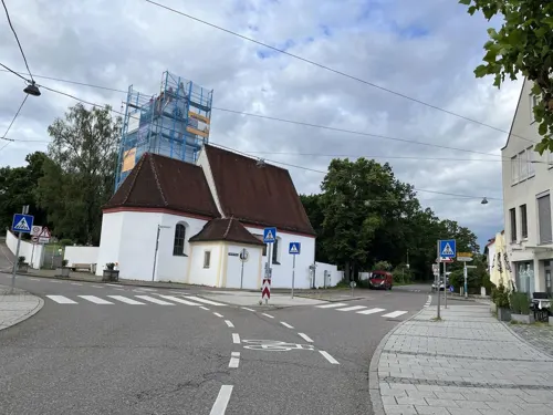
Söflinger Wirtshaus
Restaurant · German · 1.7 km
37 Neue Gasse
Mo-Su 11:00-23:00; Sa 15:00-23:00; We off
TOM's Pizza
Restaurant · Pizza · 2.4 km
61 Wagnerstraße, Ulm
Mo-Fr 11:00-13:30, 17:00-22:30; Sa off; Su,PH 16:00-22:30
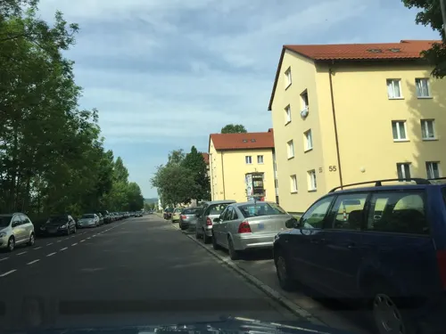


Vabene Pizzaria Ulm
Restaurant · Italian · 1.2 km
54 Am Bleicher Hag, Ulm
Mo-Fr 11:00-13:30,17:00-21:00; Sa,Su 11:00-22:00
106 more on the map.
Where to stay10
Churches and places of worship16
Shopping25
Gas and EV charging19
Schools, colleges and libraries24
Healthcare19
Map of Eselsberg
250 places. The map loads OpenStreetMap tiles when you open it.
Getting there and nearby towns
Memmingen Airport (FMM) is the nearest airport with scheduled flights listed in OpenStreetMap, 51 km away.
- Ulm 3 km southeast, about 3 min by car
- Erbach 10 km southwest, about 10 min by car
- Blaubeuren 12 km west, about 12 min by car
- Langenau 16 km northeast, about 16 min by car
- Laupheim 21 km south, about 21 min by car
- Laichingen 21 km northwest, about 21 min by car
- Ehingen 22 km southwest, about 22 min by car
- Gerstetten 24 km north, about 24 min by car
- Geislingen an der Steige 26 km north, about 26 min by car
- Herbrechtingen 29 km northeast, about 29 min by car
Drive times are estimates from straight-line distance, not routes.
Local news
Headlines from INDB.
Reviews, tips and questions
Loading what members have shared...
Sources and licences
- GeoNames (CC BY 4.0): population, coordinates, regions and time zone
- Mapillary (see each image): photos
- OpenStreetMap contributors (ODbL 1.0): places, airports, map data
- Wikidata (CC0 1.0): elevation, founding date, time zone, website, landmarks and historic places
- Wikimedia Commons (see each image): photos
Photo credits
- Landappbw 526530 1820 Ulmer Münster Luftaufnahme Ulmer Münster (cropped), Armin Appel, CC0
- DE BW Ulm-Uni-West, Kai11 at German Wikipedia, CC BY-SA 3.0
- HfGUlmbuilding, modernist design, CC BY-SA 2.0
- Soeflingen Abbey, mural, Ekki01, CC BY-SA 4.0
- Tagliliengarten, Unterillertaler, CC BY-SA 3.0
- Blautal-Center Donnerstag 27. Juni 2019 (14), Wald-Burger8, CC BY-SA 4.0
- Bundeswehrkrankenhaus Ulm 06, Gamsbart, CC BY-SA 3.0
- Lukaskirche ulm, Density, CC BY-SA 3.0
- St maria suso ulm, Density, CC BY-SA 3.0
- D UL Schubart Gym 201410, Kailas98, CC BY-SA 3.0
- Stolperstein Ulm für Albrecht Vogt, Looniverse, CC BY-SA 4.0
- Blaustein; Löwenfelsen, Dr. Eugen Lehle, CC BY-SA 3.0
- Fort Unterer Eselsberg (Werk XXXIV) Ulm IV, Reutlingendorf, CC BY-SA 4.0
- König-Wilhelm-Turm-01, Muck, CC BY-SA 4.0
- Kronenbrauerei Soeflingen I, Hohenzollernsche Lande, CC BY-SA 4.0
- Werk VI (Blaubeurer Tor), Reutlingendorf, CC BY-SA 4.0
- Werk X (Kienlesbergbastion), Reutlingendorf, CC BY-SA 4.0
- Werk IV (Mittelbastion), Reutlingendorf, CC BY-SA 4.0
- Ulm, Söflingen, Christuskirche v NW, 1, Renardo la vulpo, CC BY-SA 4.0
- St. Klara Ulm 3, Maimaid, CC BY-SA 4.0
- Ulm - LABW - Hauptstaatsarchiv Stuttgart M 700-1 Nr. 775, Leutnant Schmückle, Oberleutnant Jäger, CC BY 4.0
- Ulm, Söflingen, Leonhardskirche, 1, Renardo la vulpo, CC BY-SA 4.0
- Ft. Oberer Eselsberg, Ludwig Daitmaier, Public domain
- Kienlesbergbastion (Werk X) - Bundesfestung Ulm III, Hohenzollernsche Lande, CC BY-SA 4.0
- 2025-01 Blaubeurer Tor DJI 20250101152340 0180 D, -stk, CC BY-SA 4.0
- XI Zwischen Kienlesberg und Wilhelmsburg 2, MikeAtari, CC BY-SA 3.0
- Oberer Eselsberg Mittelkaponniere, Peter Weller, CC BY-SA 3.0
- Fort Unterer Eselsberg (Werk XXXIV) Ulm II, Reutlingendorf, CC BY-SA 4.0
- Mittelbastion, MikeAtari, CC BY-SA 3.0
- Stolperstein für Anton Eckstein (Ulm), Reutlingendorf, CC BY-SA 4.0
- 2020-04-16 Neolithische Feuchtbodensiedlung Ehrenstein 1, Thilo Parg, CC BY-SA 4.0
- Mg 20180614 DSC3889, Batichico, CC BY-SA 4.0
- Gründungsurkunde DAPG 1890, unbekannt eingescannt 26.03.2012 Frila ( talk ) 07:56, 26 March 2012 (UTC), Public domain
- Lukaskirche ulm 2015, Density, CC BY-SA 4.0
- Kiz Uni Ulm Bibliotheks-Zentrale, Universität Ulm, CC BY 3.0
- Stolperstein in Ulm (Ulm), Christian Michelides, CC BY-SA 4.0
- Fort Söflinger Turm, MikeAtari, CC BY-SA 3.0
- Riedleinweg - Ulm, Reutlingendorf, CC BY-SA 4.0
- Scultetusweg - Ulm, Reutlingendorf, CC BY-SA 4.0
- Baustelle Wohnen am Türmle Ulm Pfaffenäcker-Himbeerweg, The NUP, CC BY-SA 3.0
- Street-level photo, RadRitter, CC BY-SA 4.0
- Street-level photo, RadRitter, CC BY-SA 4.0
- Street-level photo, ray66, CC BY-SA 4.0
- Street-level photo, soulcover, CC BY-SA 4.0
- Street-level photo, ray66, CC BY-SA 4.0
- Street-level photo, ray66, CC BY-SA 4.0
- Street-level photo, ray66, CC BY-SA 4.0
- Street-level photo, derzornigemarkus, CC BY-SA 4.0
- Street-level photo, ray66, CC BY-SA 4.0
- Street-level photo, ray66, CC BY-SA 4.0
- Street-level photo, ray66, CC BY-SA 4.0
- Street-level photo, ray66, CC BY-SA 4.0
- Street-level photo, ray66, CC BY-SA 4.0
- Street-level photo, ray66, CC BY-SA 4.0
- Street-level photo, ray66, CC BY-SA 4.0
- Street-level photo, ray66, CC BY-SA 4.0
- Street-level photo, ray66, CC BY-SA 4.0
- Street-level photo, ray66, CC BY-SA 4.0


Page built November 8, 2026. Spotted a mistake? Tell us or suggest a place.