


Why visit Faßberg
Townapedia lists 27 museums and landmarks, 15 parks and trails, 28 places to eat, 19 places to stay and 11 attractions in and around town.
Highlights include Wildpark Müden, Hofladen Drewes, Luftbrückenmuseum and Grabhügelfeld von Bonstorf.
Weather in Faßberg
Forecast from MET Norway (CC BY 4.0). Full forecast
About Faßberg
Faßberg (ang. Fassberg) is a municipality in the district of Celle, in Lower Saxony, Germany. It is situated approximately 35 km north of Celle, and 30 km west of Uelzen.
From the Wikipedia article Faßberg (this version), under CC BY-SA 4.0.
Things to do11

Wildpark Müden
Zoo and aquarium · 4.8 km
Wildpark auf einer Fläche von über 10 Hektar. Die meist einheimischen Tiere präsentieren sich in naturbelassenen und mit Bächen und...
23 Heuweg, Faßberg
Mo-Su 09:00-18:00
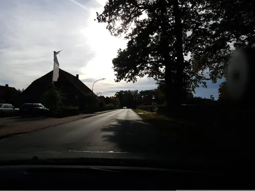
Hofladen Drewes
Farm and orchard · 8.2 km
Mo-Fr 08:00-12:30,14:00-18:00; We 08:00-12:30,14:00-18:30; Sa...





Museums and landmarks27


Bikbank
Monument and historic site · 4.4 km
Historische Waschbank, die Plattdeutsch Bikbank genannt wird

Faßberg Flyer
Monument and historic site · 1.0 km
Transportflugzeug Douglas C-47 Skytrain, das 1948-1949 bei der Berliner Luftbrücke zum Einsatz kam. Umgangssprachlich als...

Wassertretstelle
Monument and historic site · 7.8 km
Wassertretstelle am Mitternacht
15 more on the map.
Parks, trails and playgrounds15


Heideflächen mittleres Lüßplateau
Park · 9.4 km
Nature reserve in Lower Saxony, Germany





3 more on the map.
Restaurants and cafes28

Gasthaus Oertzewinkel
Restaurant · Regional · 3.5 km
20 Kreutzen, Munster
We-Fr 17:00+; Sa 12:00-14:00,17:00+; Su 12:00-14:30,17:00+;...
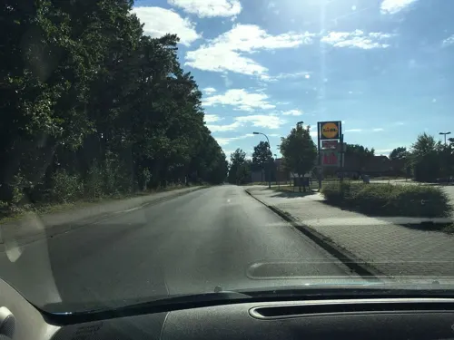
Heide-Bäckerei Meyer
Cafe · 0.7 km
17–19 Müdener Weg
Mo-Fr 05:30-18:00; Sa 05:30-17:00; Su 07:30-18:00
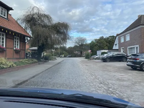
Hoffmann's Backhus
Bakery · 4.1 km
11 Alte Dorfstraße, Faßberg
Mo,Sa 06:15-12:00; Tu-Fr 06:15-18:00; Su 07:30-10:00

Ole Müller'n Schün
Cafe · 4.3 km
6 Alte Dorfstraße, Faßberg
Mo-Sa 14:00-18:00; Su,PH 13:30-18:00; Nov-May Mo-Tu off
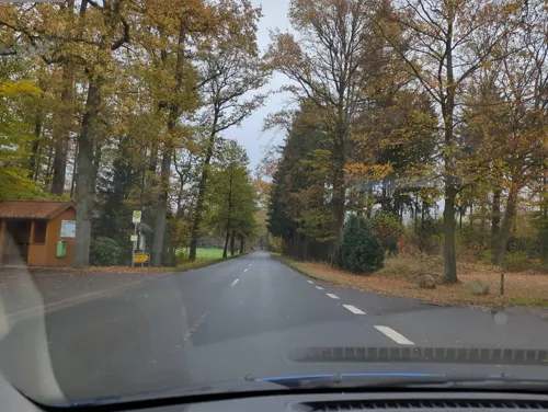
Eiscafe „Bei Tony“
Ice cream · Ice Cream
Mo-Th 10:00-22:00; Fr-Su 11:00-22:00
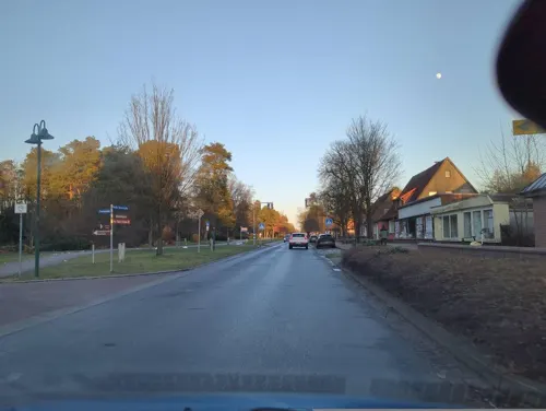
Hot Wok
Restaurant · Chinese
4a Lange Reihe, Faßberg
Mo-Th 10:30-15:00,16:30-22:00, Sa,Su,PH 10:30-15:00,16:30-22:00
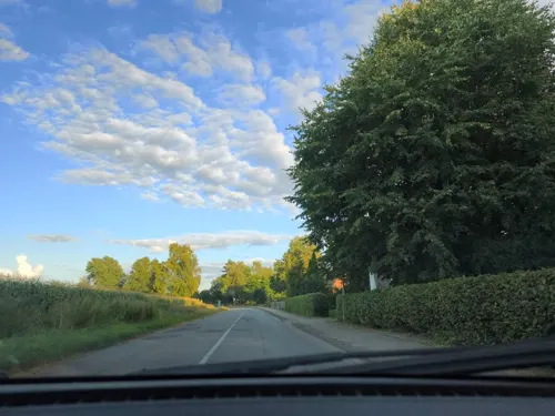
Bahnhofsgaststätte Poitzen
Restaurant · German · 2.3 km
14 Poitzen, Faßberg


16 more on the map.
History
The pre-war history of Fassberg air base includes a number of interesting details and well-known names. From the spring of 1933, not only airfields and planes were built for the German Air Force, numerous training centres were also created, and in the first years, because of the Versailles Treaty, they were called by names that veiled their real purpose.
From the History section of Faßberg on Wikipedia, under CC BY-SA 4.0.
Where to stay19
Churches and places of worship4
Shopping6
Gas and EV charging2
Schools, colleges and libraries4
Healthcare1
Map of Faßberg
117 places. The map loads OpenStreetMap tiles when you open it.
Getting there and nearby towns
Hannover Airport (HAJ) is the nearest airport with scheduled flights listed in OpenStreetMap, 59 km away.
- Hermannsburg 9 km southwest, about 9 min by car
- Unterlüß 11 km southeast, about 11 min by car
- Bergen 17 km southwest, about 17 min by car
- Soltau 24 km northwest, about 24 min by car
- Stadensen 26 km east, about 26 min by car
- Uelzen 28 km east, about 28 min by car
- Celle 31 km south, about 31 min by car
- Bad Fallingbostel 32 km west, about 32 min by car
- Hambühren 33 km southwest, about 33 min by car
- Lachendorf 32 km south, about 32 min by car
Drive times are estimates from straight-line distance, not routes.
Local news
Headlines from INDB.
Reviews, tips and questions
Loading what members have shared...
Sources and licences
- GeoNames (CC BY 4.0): population, coordinates, regions and time zone
- Mapillary (see each image): photos
- OpenStreetMap contributors (ODbL 1.0): places, airports, map data
- Wikidata (CC0 1.0): elevation, founding date, time zone, website, landmarks and historic places
- Wikimedia Commons (see each image): photos
- Wikipedia (CC BY-SA 4.0): overview and history text
Photo credits
- Fiat G.91R.3 - Fliegerhorst Faßberg, Oxfordian Kissuth, CC BY-SA 3.0
- Luftbrückenmuseum Faßberg 1, Gerd Fahrenhorst, CC BY 4.0
- Luftbrücken Gedenkstein Faßberg 2, Gerd Fahrenhorst, CC BY 4.0
- Luftbrücken Gedenkstein Faßberg 1, Gerd Fahrenhorst, CC BY 4.0
- Brunnen im Yerville-Park Faßberg 2, Gerd Fahrenhorst, CC BY 4.0
- Brunnen im Yerville-Park Faßberg 1, Gerd Fahrenhorst, CC BY 4.0
- Hansel and Gretel - Faßberg, Oxfordian Kissuth, CC BY-SA 3.0
- Luftbrückenmuseum Faßberg 05, Uwe Rohwedder, CC BY-SA 4.0
- Luftbrückenmuseum Faßberg 06, Uwe Rohwedder, CC BY-SA 4.0
- HeideblueteTiefental, Hajotthu, CC BY-SA 3.0
- Kiehnmoor@02, Hajotthu, CC BY 3.0
- Bonstorf Hügelgräberfeld 03, Hajotthu, CC BY-SA 3.0
- Brambosteler Moor 2008@03, Hajotthu, CC BY 3.0
- Teich Gerdehauser Moor, Hajotthu, CC BY-SA 3.0
- Muedenkirche, Muggmag, Public domain
- Heidefläche, Hajotthu 12:16, 10. Dez. 2007 (CET), CC BY-SA 3.0
- NSG Tal der Kleinen Örtze Karte, Hajotthu at de.wikipedia, CC BY-SA 3.0
- Wietzer Berg, Bermicourt, CC BY-SA 3.0
- Fassberg Kirche Heilig Geist, Kirchenfan, CC0
- Weesener Bach@20150408 05, Hajotthu, CC BY-SA 3.0
- Heideflächen am Nordhang des Hausselberges 01, Puusterke, CC BY-SA 4.0
- Airlift Berlin Memorial - Faßberg, Oxfordian Kissuth, CC BY-SA 3.0
- Waschbank - Bikbank, Oxfordian Kissuth, CC BY-SA 3.0
- Faßberg Flyer 2013, Hajotthu, CC BY 3.0
- BrambostMoorb, Hajotthu 10:56, 16. Jan. 2009 (CET), CC BY-SA 3.0
- Kleine Örtze (10), Hajotthu, CC BY 3.0
- Bonstorf Grabhügel u. rekonstr. Grab, Hajotthu, CC BY-SA 3.0
- KiehnmoorWiese, Hajotthu 11:27, 31. Aug. 2008 (CEST), CC BY-SA 3.0
- Heideflächen auf dem mittleren Lüßplateau, Puusterke, CC BY-SA 4.0
- Weesener Bach (Örtze), smarties, CC BY-SA 4.0
- Fassberg Kirche Gesamtansicht, Laisareisacinonyxjubatus, CC0
- Rathaus Fassberg, Hajotthu, CC BY 3.0
- Junge mit drei Gänsen (Bigi), Gerd Fahrenhorst, CC BY 4.0
- Fassberg Kirche Innenraum mit Wetzel-Orgel, Laisareisacinonyxjubatus, CC0
- Fassberg Kirche Sturmschaden 1984, Laisareisacinonyxjubatus, CC0
- Fassberg Kirche Weltenrichter, Laisareisacinonyxjubatus, CC0
- Fassberg Kirche Orgel Firmenschild in Windlade, Laisareisacinonyxjubatus, CC0
- Fassberg Kirche Kanzel, Laisareisacinonyxjubatus, CC0
- Fassberg Kirche Orgel Durchschobene Zwillingslade 01, Laisareisacinonyxjubatus, CC0
- Fassberg Kirche Furtwaengler-Orgel ab 1963, Laisareisacinonyxjubatus, CC0
- Faßberg Heideblüte08, Hajotthu, CC BY 3.0
- Street-level photo, hotteliene, CC BY-SA 4.0
- Street-level photo, hotteliene, CC BY-SA 4.0
- Street-level photo, hotteliene, CC BY-SA 4.0
- Street-level photo, hotteliene, CC BY-SA 4.0
- Street-level photo, hotteliene, CC BY-SA 4.0
- Street-level photo, hotteliene, CC BY-SA 4.0
- Street-level photo, hotteliene, CC BY-SA 4.0
- Street-level photo, hotteliene, CC BY-SA 4.0
- Street-level photo, hotteliene, CC BY-SA 4.0
- Street-level photo, hotteliene, CC BY-SA 4.0
- Street-level photo, hotteliene, CC BY-SA 4.0
- Street-level photo, hotteliene, CC BY-SA 4.0
- Street-level photo, hotteliene, CC BY-SA 4.0
- Street-level photo, hotteliene, CC BY-SA 4.0
- Street-level photo, hotteliene, CC BY-SA 4.0
- Street-level photo, hotteliene, CC BY-SA 4.0
- Street-level photo, hotteliene, CC BY-SA 4.0
- Street-level photo, hotteliene, CC BY-SA 4.0
- Street-level photo, hotteliene, CC BY-SA 4.0
- Street-level photo, Langfahrer, CC BY-SA 4.0
- Street-level photo, hotteliene, CC BY-SA 4.0
- Street-level photo, hotteliene, CC BY-SA 4.0
- Street-level photo, hotteliene, CC BY-SA 4.0
- Street-level photo, hotteliene, CC BY-SA 4.0


Page built November 9, 2026. Spotted a mistake? Tell us or suggest a place.