


Florstadt, Germany
Florstadt is a town of 8,905 people in Hesse, Germany, founded in 1970.
Why visit Florstadt
Townapedia lists 19 museums and landmarks, 22 parks and trails, 45 places to eat, 7 places to stay and 13 attractions in and around town.
Highlights include Krebsberg, Lochberg, Horloff-Brücke and Hexenturm.
Weather in Florstadt
Forecast from MET Norway (CC BY 4.0). Full forecast
About Florstadt
Florstadt (German pronunciation: [ˈfloːɐ̯ʃtat] ) is a town in the Wetteraukreis, in Hesse, Germany. It is located approximately 26 kilometers (16 miles) northeast of Frankfurt am Main. It received town privileges in 2007.
From the Wikipedia article Florstadt (this version), under CC BY-SA 4.0.
Things to do13

1 more on the map.
Museums and landmarks19
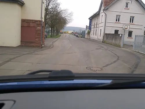

Hexenturm
Monument and historic site · 4.6 km
Alter Steinturm der Reichelsheimer Stadtbefestigung, der in der Zeit der Hexenverfolgung als Gefängnis diente.
14 Turmgasse, Reichelsheim (Wetterau)

Storchenturm mit Stadttor
Monument and historic site · 4.4 km
Alter Wehrturm der Stadtbefestigung mit erhaltenem Stadttor und einem Stück Stadtmauer.
22 Untere Haingasse, Reichelsheim

Benediktinerinnenabtei Kloster Engelthal
Monument and historic site · Catholic · 5.0 km

Wehrturm
Monument and historic site · 4.3 km
Südlicher Wehrturm der ehemaligen Reichelsheimer Stadtbefestigung
Denkmal für die Opfer des Deutsch-Französischen Krieges 1870/71
Monument and historic site · 4.4 km

7 more on the map.
Parks, trails and playgrounds22


Kleinkastell Lochberg
Hiking and trails · 5.3 km
Ehemaliges Römisches Kastell auf dem Lochberg




10 more on the map.
Restaurants and cafes45
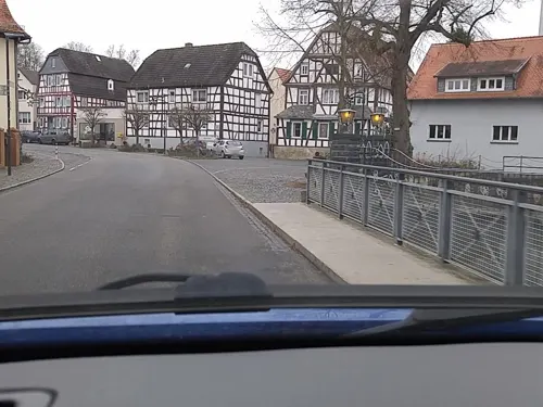
Hotel Restaurant Café Schloss Ysenburg
Restaurant · Regional, Ice Cream, German, Coffee Shop · 3.6 km
20 Parkstraße, Florstadt
Tu-Su 12:00-14:00,18:00-22:00

Nostalgie Pizzeria Cocktail Lounge
Restaurant · Italian · 0.8 km
17 Weitgasse, Florstadt
Tu-Sa 17:00+; Su 17:00-22:00; Mo off
Pizzeria Roma II
Restaurant · Italian · 4.1 km
2 Hauptstraße, Niddatal
We-Mo,PH 17:30-22:00, Sa,Su,PH 11:30-13:30
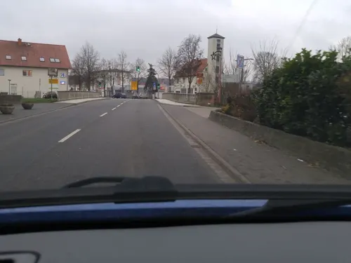
Ristorante, Trattoria "Il Ponte"
Restaurant · Italian, Pizza · 0.7 km
2 Friedberger Landstraße, Florstadt
Mo off; Tu-Th 12:00-14:00,17:30-23:00; Fr 17:30-23:00; Sa...
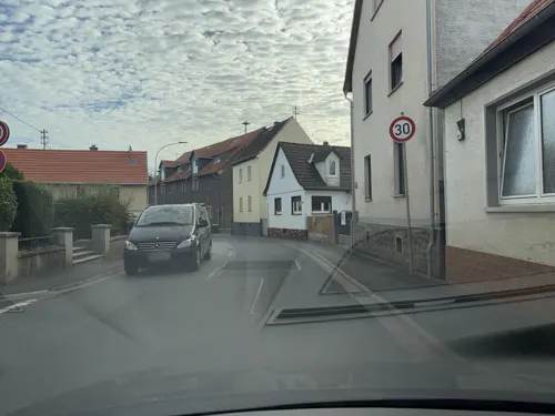
Stammheimer Hof
Restaurant · Pizza, Italian, German, Indian · 3.7 km
14 Hanauer Straße, Florstadt
Tu-Fr 11:00-14:00,17:00-22:00; PH,Sa,Su 14:00-22:00
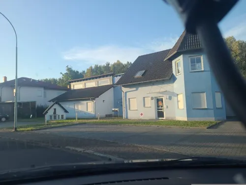
Bistro Cockpit
Bar and pub · 5.2 km
12 Im Mühlahl, Reichelsheim
Mo-Th 17:00-23:00; Fr,Sa 17:00-23:59; Su 17:00-23:00; Sa,Su 00:00-01:00

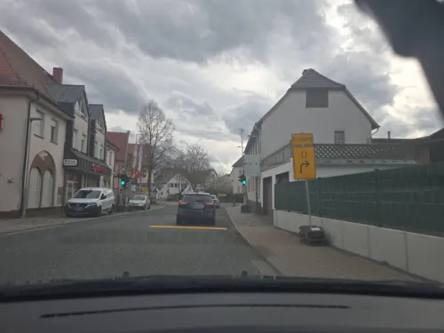
Ossemer Treff
Restaurant · 5.4 km
3 Florstädter Straße, Friedberg (Hessen)
Mo-Su 11:30-14:00,17:30-20:00; Tu 11:30-14:00; Sa off
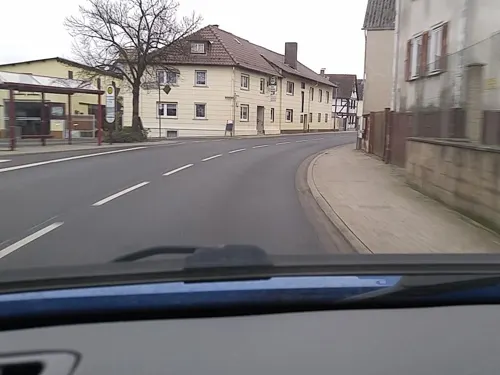
Ristorante Pizzeria "Milano"
Restaurant · Italian, Pizza · 1.2 km
33 Hauptstraße, Florstadt
We-Mo 11:30-14:00,17:30-23:00
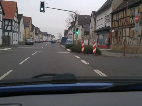


Tandoori Florstadt
Restaurant · Indian
3 Niddastraße, Florstadt
Mo,We-Fr 17:00-22:00; Sa-Su 16:00-22:00; PH off
33 more on the map.
Where to stay7
Churches and places of worship17
Evangelische Kirche Weckesheim
Church · Protestant · 5.4 km
5 Sommerbachstraße, Reichelsheim (Wetterau)
Evangelische Kirche Stammheim
Church · Protestant · 3.7 km
13 Hanauer Straße, Florstadt
Kath. Kirche St. Nikolaus, Wickstadt
Church · Roman Catholic · 2.1 km
14, Niddatal
Kath. Kirche St. Willigis, Florstadt
Church · Roman Catholic
1 Friedensstraße, Florstadt
Michaeliskirche
Church · Protestant · 5.1 km
22 Beienheimer Straße, Friedberg (Hessen)
St. Maria Magdalena
Church · Roman Catholic · 3.2 km
2 Kirchplatz, Reichelsheim (Wetterau)
Wallfahrtskirche St. Ganggolf Maria Sternbach
Church · Roman Catholic · 1.4 km
Erasmus-Alberus-Kirche
Church · Protestant · 5.4 km
2 Bruchenbrückener Straße, Friedberg (Hessen)
Shopping15
Gas and EV charging7
Schools, colleges and libraries7
Healthcare4
Map of Florstadt
156 places. The map loads OpenStreetMap tiles when you open it.
Getting there and nearby towns
Frankfurt Airport (FRA) is the nearest airport with scheduled flights listed in OpenStreetMap, 40 km away.
- Reichelsheim 4 km north, about 4 min by car
- Altenstadt 6 km southeast, about 6 min by car
- Friedberg 8 km west, about 8 min by car
- Nidderau 9 km south, about 9 min by car
- Echzell 8 km north, about 8 min by car
- Ranstadt 9 km northeast, about 9 min by car
- Wölfersheim 10 km north, about 10 min by car
- Bad Nauheim 11 km northwest, about 11 min by car
- Karben 12 km southwest, about 12 min by car
- Rosbach vor der Höhe 13 km west, about 13 min by car
Drive times are estimates from straight-line distance, not routes.
Local news
Headlines from INDB.
Reviews, tips and questions
Loading what members have shared...
Sources and licences
- GeoNames (CC BY 4.0): population, coordinates, regions and time zone
- Mapillary (see each image): photos
- OpenStreetMap contributors (ODbL 1.0): places, airports, map data
- Wikidata (CC0 1.0): elevation, founding date, time zone, website
- Wikimedia Commons (see each image): photos
- Wikipedia (CC BY-SA 4.0): overview and history text
Photo credits
- Staden Schloss Ysenburg, Haselburg-müller, CC BY-SA 3.0
- Loewsches Schloss Nieder Florstadt 2017 01, Lumpeseggl, CC BY-SA 4.0
- Nieder-Florstadt, Kilometerstein 8,0 (1), Manfred Schröter, Berga, CC BY-SA 4.0
- Nieder-Florstadt, Kilometerstein 8,0 (2), Manfred Schröter, Berga, CC BY-SA 4.0
- Kastell-Ober-Florstadt-2009-b, Haselburg-müller, CC BY-SA 3.0
- Kastell Ober-Florstadt 2009, Haselburg-müller, CC BY-SA 3.0
- Nieder-Florstadt, Hessen-Darmstädter Rundsockelstundenstein, Manfred Schröter, Berga, CC BY-SA 4.0
- Nieder-Florstadt, Hessen-Darmstädter Stundenstein (1), Manfred Schröter, Berga, CC BY-SA 4.0
- Kirche Bauernheim (1), Hydro, CC BY-SA 4.0
- Kleinkastell Lochberg, Haselburg-müller, CC BY-SA 3.0
- Erbstadt - Ev. Kirche (001), Gerold Rosenberg ( talk ) 19:27, 3 March 2016 (UTC), CC BY-SA 3.0
- Naturschutzgebiet - Am Hechtgraben bei Dorheim (001), Gerold Rosenberg ( talk ) 23:47, 20 December 2015 (UTC), CC BY-SA 3.0
- Stammheim, Evangelische Kirche, Karsten Ratzke, CC0
- St Maria Magdalena Dorn-Assenheim, Fotofan2010, CC BY-SA 3.0
- Nieder-Florstadt, Evangelische Kirche, Karsten Ratzke, CC0
- Nieder-Florstadt, Katholische Kirche, Karsten Ratzke, CC0
- Nieder-Florstadt, Hessen-Darmstädter Stundenstein (3), Manfred Schröter, Berga, CC BY-SA 4.0
- NSG Am Mähried, Charles S. Lima, CC BY-SA 4.0
- Kloster Engelthal Gästehaus und Klosterkirche, C. M., CC BY-SA 4.0
- Niddatal Wickstadt Kirche 2017 01, Lumpeseggl, CC BY-SA 4.0
- Niddatal Sternbacher Kirche 2017 02, Lumpeseggl, CC BY-SA 4.0
- Horloffmündung, Freak-Line-Community, CC BY-SA 4.0
- Niddatal Sternbacher Kirche 2017 01, Lumpeseggl, CC BY-SA 4.0
- Aerial image of the Reichelsheim airfield, Carsten Steger, CC BY-SA 4.0
- Evangelische Pfarrkirche (Ostheim) Seite Südost 02, Cherubino, CC BY-SA 4.0
- Niddatal Wickstadt Turmspeicher 2017 01, Lumpeseggl, CC BY-SA 4.0
- Niddatal Wickstadt Friedhof 2017 01, Lumpeseggl, CC BY-SA 4.0
- Niddatal Wickstadt Turmspeicher 2019 01, Lumpeseggl, CC BY-SA 4.0
- Niddatal Wickstadt Gutshof Herrenhaus 2017 01, Lumpeseggl, CC BY-SA 4.0
- Niddatal Wickstadt Gutshof Herrenhaus 2017 02, Lumpeseggl, CC BY-SA 4.0
- Street-level photo, scg1176, CC BY-SA 4.0
- Street-level photo, scg1176, CC BY-SA 4.0
- Street-level photo, robffm, CC BY-SA 4.0
- Street-level photo, robffm, CC BY-SA 4.0
- Street-level photo, scg1176, CC BY-SA 4.0
- Street-level photo, scg1176, CC BY-SA 4.0
- Street-level photo, scg1176, CC BY-SA 4.0
- Street-level photo, scg1176, CC BY-SA 4.0
- Street-level photo, scg1176, CC BY-SA 4.0
- Street-level photo, scg1176, CC BY-SA 4.0
- Street-level photo, mfa, CC BY-SA 4.0
- Street-level photo, troher15, CC BY-SA 4.0
- Street-level photo, robffm, CC BY-SA 4.0
- Street-level photo, scg1176, CC BY-SA 4.0
- Street-level photo, scg1176, CC BY-SA 4.0
- Street-level photo, scg1176, CC BY-SA 4.0
- Street-level photo, robffm, CC BY-SA 4.0
- Street-level photo, robffm, CC BY-SA 4.0
- Street-level photo, scg1176, CC BY-SA 4.0


Page built November 9, 2026. Spotted a mistake? Tell us or suggest a place.