


Why visit Friedrichsthal
Townapedia lists 56 museums and landmarks, 15 parks and trails, 79 places to eat, 2 places to stay and 3 attractions in and around town.
Highlights include Kallenberg, Zentrum für Biodokumentation, Ehemalige Kaffeeküch and Gondwana – Das Praehistorium.
Weather in Friedrichsthal
Forecast from MET Norway (CC BY 4.0). Full forecast
About Friedrichsthal
Friedrichsthal (German pronunciation: [ˈfʁiːdʁɪçsˌtaːl] ) is a town and a municipality in the district of Saarbrücken, of Saarland, Germany. It is situated approximately 13 km northeast of Saarbrücken.
From the Wikipedia article Friedrichsthal (this version), under CC BY-SA 4.0.
Things to do3

Museums and landmarks56




Gegenortschacht
Monument and historic site · 2.2 km
Diente u.a. zum schnelleren Auffahren des Tiefen Saarstollens (Gegenortbetrieb). Hier teilt sich der Tiefe Saarstollen in einen Zweig...


Heinitz-Stollen
Monument and historic site · 3.0 km
Original Stollenmundeinfassung des Heinitzstollens von 1847. Aufgestellt an dieser Stelle als Denkmal 1979.
44 more on the map.
Parks, trails and playgrounds15


Hallenbad Friedrichsthal
Sports field and stadium · 0.9 km
Hallenbad der Stadt Friedrichsthal mit Sport-, Kinder- und Kleinkinderbecken, Dampfsauna, finnische Sauna, Sonnenbank.
1 Schwimmbadstraße, Friedrichsthal

Freibad Friedrichsthal
Sports field and stadium · 0.9 km
Freibad der Stadt Friedrichsthal mit Sport-, Freizeit- und Springerbecken (3m- und 1m-Brett), 60m Wasserrutsche, Kinderspielplatz, Sauna
1 Schwimmbadstraße, Friedrichsthal




3 more on the map.
Restaurants and cafes79
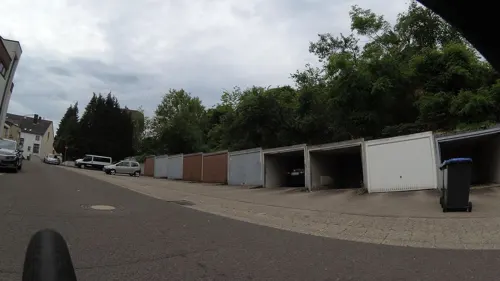
Ristorante Pizzeria Al Bacio
Restaurant · Pizza, Italian · 3.2 km
3 Rathausplatz, Quierschied
Tu-Th 17:00-22:30; Fr-Su,PH 12:00-22:30

Thai Bistro Buriram
Restaurant · Thai · 2.8 km
16 Itzenplitzstraße, Schiffweiler
11:30-14:30,17:00-22:00

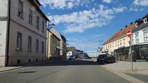
Zum Waldhorn
Restaurant
3 Neunkircher Straße, Friedrichsthal
Mo-Su 12:00-14:00,18:00-22:00; Tu off; We off
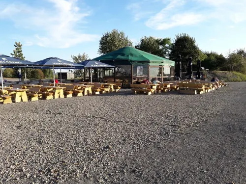
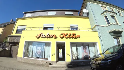
Restaurant Altenwald
Restaurant · German, Russian · 1.8 km
43 Hühnerfelder Straße, Sulzbach/Saar
Tu-Th 11:00-14:30; Fr-Su 11:00-14:30,18:00-23:00

Barbarossa Bäckerei
Bakery · 0.6 km
2a Illinger Straße, Friedrichsthal
Mo-Fr 06:00-18:00; Sa 07:00-13:00; Su 07:00-17:00
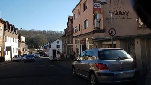
Papa's Backstube
Bakery · 2.3 km
4 Zur Tannenburg, Sulzbach/Saar
Mo-Sa 05:00-12:30
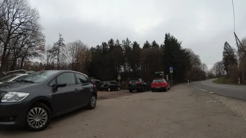
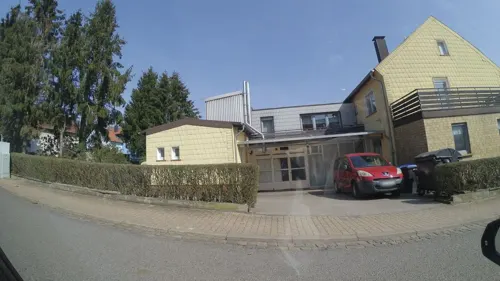
Bäckerei Didas
Bakery · 0.9 km
28 Im Grühlingswald, Friedrichsthal
Mo-Fr 05:45-12:00,14:30-18:00; Tu off; Th off; Sa 05:00-12:30
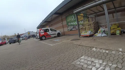


Bäckerei im Wasgau
Bakery · 2.2 km
Mo-Sa 07:00-20:00; Su 08:00-11:00
67 more on the map.
History
In 1723 the place was founded with a glass foundry by Frederick Louis, Count of Nassau-Ottweiler.
From the History section of Friedrichsthal on Wikipedia, under CC BY-SA 4.0.
Where to stay2
Churches and places of worship13
Sri Maha Mariamman Tempel
Place of worship · 2.1 km
41 Grubenstraße, Sulzbach/Saar
Evangelische Kirche
Church · Lutheran · 2.4 km
205 Sulzbachtalstraße, Altenwald
Herz-Jesu-Kirche Altenwald
Church · Catholic · 2.3 km
11 Grubenstraße, Sulzbach/Saar
Shopping15
Gas and EV charging5
Schools, colleges and libraries12
Albert-Schweitzer-Gemeinschaftsschule
School · 2.9 km
39a Am Ring, Spiesen-Elversberg
Healthcare6
St. Barbara-Apotheke
Clinic and pharmacy · 0.6 km
81 Saarbrücker Straße, Friedrichsthal
Map of Friedrichsthal
206 places. The map loads OpenStreetMap tiles when you open it.
Getting there and nearby towns
Saarbrücken Airport (SCN) is the nearest airport with scheduled flights listed in OpenStreetMap, 12 km away.
- Spiesen-Elversberg 3 km southeast, about 3 min by car
- Quierschied 4 km west, about 4 min by car
- Merchweiler 4 km northwest, about 4 min by car
- Sulzbach 4 km southwest, about 4 min by car
- Schiffweiler 5 km northeast, about 5 min by car
- Illingen 6 km northwest, about 6 min by car
- Ottweiler 10 km northeast, about 10 min by car
- Kirkel 11 km southeast, about 11 min by car
- Saarbrücken 12 km southwest, about 12 min by car
- Riegelsberg 12 km west, about 12 min by car
Drive times are estimates from straight-line distance, not routes.
Local news
Headlines from INDB.
Reviews, tips and questions
Loading what members have shared...
Sources and licences
- GeoNames (CC BY 4.0): population, coordinates, regions and time zone
- Mapillary (see each image): photos
- OpenStreetMap contributors (ODbL 1.0): places, airports, map data
- Wikidata (CC0 1.0): elevation, founding date, time zone, website, landmarks and historic places
- Wikimedia Commons (see each image): photos
- Wikipedia (CC BY-SA 4.0): overview and history text
Photo credits
- Rathaus in 66299 Friedrichsthal, Elmar Ersch, CC BY-SA 3.0
- Friedrichsthal (Saar), die evangelische Kirche, Dguendel, CC BY 3.0
- Friedrichsthal (Saar), die Kirche St.Marien-1, Dguendel, CC BY 3.0
- Friedrichsthal (Saar), die Kirche St.Marien-2, Dguendel, CC BY 3.0
- Friedrichsthal Hoferkopf (1), Wambe78, CC BY-SA 4.0
- Friedrichsthal (Saar), Blick vom Marktplatz zum Turm der evangelischen Kirche, Dguendel, CC BY 3.0
- Friedrichsthal (Saar), the Saarbrücker Straße, Dguendel, CC BY 3.0
- Friedrichsthal (Saar), die Saarbrücker Straße, Dguendel, CC BY 3.0
- Friedrichsthal-Bildstock-FMT-20101001, Speifensender, CC BY-SA 3.0
- Betula pendula - Friedrichsthal-Bildstock-FMT - 20101001-02, Speifensender, Public domain
- Betula pendula - Friedrichsthal-Bildstock-FMT - 20101001-01, Speifensender, Public domain
- Betula pendula - Friedrichsthal-Bildstock-FMT - 20101001-03, Speifensender, Public domain
- Friedrichsthal (Saar), das Rathaus, Dguendel, CC BY 3.0
- Friedrichsthal, Rathaus - geo.hlipp.de - 38431, Paul L on geo.hlipp.de, CC BY-SA 2.0
- Museum IGB, [email protected], CC BY-SA 3.0
- Leismann 1, EPei, CC BY-SA 3.0
- Fördermaschinenhäuser Maybach, Zecke64, CC BY-SA 3.0
- Pan waldstadion, Bj.Linnebach, CC BY 3.0
- Sri Mahamariamman Tempel Saar-Innenraum, TeKaBe, CC BY-SA 4.0
- Quierschied kath Kirche, LoKiLeCh, CC BY 3.0
- Gondwana-praehistorium-eingangshalle-argentinosaurus, Dhoefgen, CC BY-SA 4.0
- 20111108Herz Jesu Altenwald3, AnRo0002, CC0
- Friedrichsthal St. Marien 01, atreyu, CC BY-SA 3.0
- Heiligenwald St. Laurentius 04, atreyu, CC BY-SA 3.0
- 20111108Ev Kirche Altenwald1, AnRo0002, CC0
- Maybach St. Ludwig 01, atreyu, CC BY-SA 3.0
- 20210930 Gemeindebücherei Quierschied, Flocci Nivis, CC BY 4.0
- NSG-Ruhbach, EHaseler, CC BY-SA 3.0
- 20200425Halde Reden 02, Flocci Nivis, CC BY-SA 4.0
- Hühnerfeld St. Marien 02, atreyu, CC BY-SA 3.0
- 20200425 Wassergarten Grube Reden 18, Flocci Nivis, CC BY 4.0
- MaybachKaffeekueche, Stefan Oemisch, CC BY-SA 3.0
- Altenwald Gegenortschacht, Zecke64, CC BY-SA 3.0
- Mundlocharchitektur Heinitzstollen, Zecke64, CC BY-SA 3.0
- St. Ingbert Beckerturm 1, EPei, CC BY-SA 3.0
- Parapuzosia seppenradensis 4, -- Xocolatl 16:32, 22 April 2006 (UTC), Public domain
- UrsapharmArena, MüllerFrankElversberg, CC BY-SA 4.0
- Sri Mahamariamman Tempel Saar-Eingang, TeKaBe, CC BY-SA 4.0
- Bildstock, Villinger Park- Felswand - geo.hlipp.de - 38432, Paul L on geo.hlipp.de, CC BY-SA 2.0
- Bildstock, Teich im Villinger Park - geo.hlipp.de - 38433, Paul L on geo.hlipp.de, CC BY-SA 2.0
- Street-level photo, teddy73, CC BY-SA 4.0
- Street-level photo, teddy73, CC BY-SA 4.0
- Street-level photo, teddy73, CC BY-SA 4.0
- Street-level photo, teddy73, CC BY-SA 4.0
- Street-level photo, teddy73, CC BY-SA 4.0
- Street-level photo, teddy73, CC BY-SA 4.0
- Street-level photo, teddy73, CC BY-SA 4.0
- Street-level photo, teddy73, CC BY-SA 4.0
- Street-level photo, teddy73, CC BY-SA 4.0
- Street-level photo, teddy73, CC BY-SA 4.0
- Street-level photo, teddy73, CC BY-SA 4.0
- Street-level photo, teddy73, CC BY-SA 4.0
- Street-level photo, teddy73, CC BY-SA 4.0
- Street-level photo, teddy73, CC BY-SA 4.0
- Street-level photo, teddy73, CC BY-SA 4.0
- Street-level photo, teddy73, CC BY-SA 4.0
- Street-level photo, teddy73, CC BY-SA 4.0
- Street-level photo, teddy73, CC BY-SA 4.0
- Street-level photo, teddy73, CC BY-SA 4.0
- Street-level photo, teddy73, CC BY-SA 4.0
- Street-level photo, teddy73, CC BY-SA 4.0
- Street-level photo, teddy73, CC BY-SA 4.0
- Street-level photo, teddy73, CC BY-SA 4.0
- Street-level photo, teddy73, CC BY-SA 4.0
- Street-level photo, teddy73, CC BY-SA 4.0


Page built November 8, 2026. Spotted a mistake? Tell us or suggest a place.