


Why visit Frohnen
Townapedia lists 6 museums and landmarks, 1 park or trail, 20 places to eat, 5 places to stay and 1 attraction in and around town.
Highlights include Dorfmuseum.
Weather in Frohnen
Forecast from MET Norway (CC BY 4.0). Full forecast
About Frohnen
Windhagen is a Municipality in the district of Neuwied, in Rhineland-Palatinate, Germany. Its former mayor used to be the oldest German Mayor, at 94 years old when he finally retired.
From the Wikipedia article Windhagen (this version), under CC BY-SA 4.0.
Photos of Frohnen


Things to do1

Museums and landmarks6

Parks, trails and playgrounds1
Restaurants and cafes20
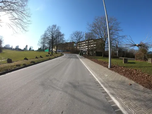
La Verde
Restaurant · Italian · 1.2 km
11 Brunnenstraße, Windhagen
We-Fr 12:00-21:00; Sa-Su 10:00-21:00
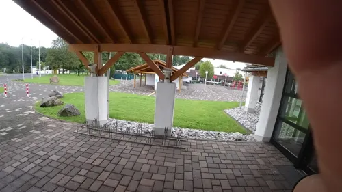
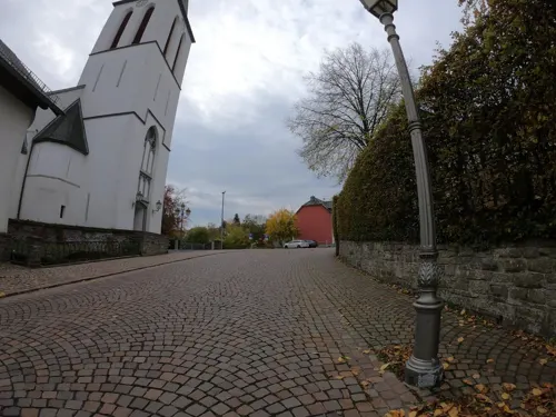
Gaststätte Restaurant Alte Schmiede
Restaurant · German · 1.5 km
42 Hauptstraße
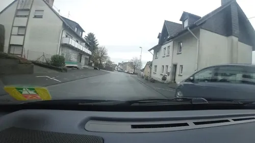
Sportsbar Windhagen Darts & Billard
Bar and pub · 1.2 km
6 Am Steinhohn, Windhagen
Mo-Th 18:00-22:00; Fr,Sa 18:00-01:00



8 more on the map.
Where to stay5
Churches and places of worship7
Bernhardskapelle
Church · Catholic · 1.3 km
1 Hauptstraße, Vettelschoß
Shopping3
Gas and EV charging3
Schools, colleges and libraries2
Healthcare2
Map of Frohnen
50 places. The map loads OpenStreetMap tiles when you open it.
Getting there and nearby towns
Cologne Bonn Airport (CGN) is the nearest airport with scheduled flights listed in OpenStreetMap, 30 km away.
- Bad Honnef 8 km west, about 8 min by car
- Linz am Rhein 8 km southwest, about 8 min by car
- Remagen 10 km southwest, about 10 min by car
- Königswinter 12 km northwest, about 12 min by car
- Sinzig 12 km southwest, about 12 min by car
- Hennef (Sieg) 17 km north, about 17 min by car
- Oberkassel 16 km northwest, about 16 min by car
- Eitorf 17 km northeast, about 17 min by car
- Wachtberg 17 km west, about 17 min by car
- Bonn 21 km northwest, about 21 min by car
Drive times are estimates from straight-line distance, not routes.
Towns near Frohnen


Local news
Headlines from INDB.
Reviews, tips and questions
Loading what members have shared...
Sources and licences
- GeoNames (CC BY 4.0): population, coordinates, regions and time zone
- Mapillary (see each image): photos
- OpenStreetMap contributors (ODbL 1.0): places, airports, map data
- Wikidata (CC0 1.0): elevation, founding date, time zone, website
- Wikimedia Commons (see each image): photos
- Wikipedia (CC BY-SA 4.0): overview and history text
Photo credits
- Bernhardskapelle (Vettelschoss), Update, CC BY-SA 3.0
- Kapelle Oberelsaff, Dom2508, CC BY-SA 3.0
- Windhagen Reinhard-Wirtgen-Straße Brücke, Leit, CC BY-SA 4.0
- Windhagen Bundesautobahn 3, Leit, CC BY-SA 4.0
- Windhagen, Wegekreuz, Hauptstraße, Ecke Vierwindener Straße, Karsten11, CC0
- Windhagen, Wegekreuz, Hauptstraße, Ecke Vierwindener Straße (2), Karsten11, CC0
- Windhagen, Wegekreuz, Hauptstraße, Ecke Vierwindener Straße (1), Karsten11, CC0
- Frankfurt-Cologne 15.09.2005 10-38-02, Hansueli Krapf, CC BY-SA 3.0
- Rederscheid Rederscheider Straße 25, Leit, CC BY-SA 4.0
- Rederscheid Rederscheider Straße 26–28, Leit, CC BY-SA 4.0
- Windhagen, Wegekreuz, Hauptstraße, Ecke Oberwindhagener Straße (1), Karsten11, CC0
- Windhagen, Wegekreuz, Hauptstraße, Ecke Oberwindhagener Straße, Karsten11, CC0
- Windhagen, Wegekreuz, Hauptstraße, bei Nr. 46, Karsten11, CC0
- Rederscheid, Leit, CC BY-SA 4.0
- Rederscheid (2), Leit, CC BY-SA 4.0
- Windhagen, Wegekreuz, Heckener Straße, bei Nr. 7, Karsten11, CC0
- Windhagen, Wirtschaftsgebäude, Hauptstraße, zu Nr. 49, Karsten11, CC0
- Birken, Wegekreuz, am nordwestlichen Ortsausgang, Karsten11, CC0
- Birken, Wegekreuz, am nordwestlichen Ortsausgang (1), Karsten11, CC0
- Windhagen, Wegekreuz Hauptstraße, Ecke Niederwindhagener Straße (1), Karsten11, CC0
- Windhagen, Wegekreuz Hauptstraße, Ecke Niederwindhagener Straße, Karsten11, CC0
- Windhagen, Wegekreuz Hauptstraße, Ecke Niederwindhagener Straße (2), Karsten11, CC0
- Street-level photo, bernd1960, CC BY-SA 4.0
- Street-level photo, tobi23, CC BY-SA 4.0
- Street-level photo, MichelleFritzSLP, CC BY-SA 4.0
- Street-level photo, MichelleFritzSLP, CC BY-SA 4.0
- Street-level photo, schwing, CC BY-SA 4.0
- Street-level photo, bernd1960, CC BY-SA 4.0
- Street-level photo, tobi23, CC BY-SA 4.0
- Street-level photo, bernd1960, CC BY-SA 4.0
- Street-level photo, bernd1960, CC BY-SA 4.0
- Street-level photo, michellefritz, CC BY-SA 4.0
- Street-level photo, derzornigemarkus, CC BY-SA 4.0
- Street-level photo, bernd1960, CC BY-SA 4.0
- Street-level photo, MichelleFritzSLP, CC BY-SA 4.0
- Street-level photo, bct, CC BY-SA 4.0
- Street-level photo, tobi23, CC BY-SA 4.0
- Street-level photo, bernd1960, CC BY-SA 4.0
- Street-level photo, michellefritz, CC BY-SA 4.0
- Street-level photo, bernd1960, CC BY-SA 4.0
- Street-level photo, MichelleFritzSLP, CC BY-SA 4.0
- Street-level photo, schwing, CC BY-SA 4.0
- Street-level photo, bernd1960, CC BY-SA 4.0
- Street-level photo, MichelleFritzSLP, CC BY-SA 4.0


Page built November 9, 2026. Spotted a mistake? Tell us or suggest a place.