


Why visit Velen
Townapedia lists 72 museums and landmarks, 15 parks and trails, 57 places to eat, 12 places to stay and 7 attractions in and around town.
Highlights include Funkturm Groß Reken Melchenberg, Hünsberg, Westfälisches Glockenmuseum and Museum Burg Ramsdorf.
Weather in Velen
Forecast from MET Norway (CC BY 4.0). Full forecast
About Velen
Velen (German pronunciation: [ˈfeːlən]) is a town in the district Borken, North Rhine-Westphalia, Germany with about 12,000 inhabitants. It consists of the two settlements of Velen and Ramsdorf and the four rural regions Ostendorf-Krueckling, Bleking-Holthausen, Nordvelen and Waldvelen. In 2003 the town received the title "staatlich anerkannter Erholungsort" (recreation village approved by the state) from the regional president. Since August 2012 it is a town.
From the Wikipedia article Velen (this version), under CC BY-SA 4.0.
Things to do7




Theater- und Konzertsaal Gescher
Cinema and theater · 6.2 km
48 Borkener Damm, Gescher
Museums and landmarks72


Museum Burg Ramsdorf
Museum · 4.8 km
4 Burgplatz, Velen
Apr-Oct: Tu-Sa 15:00-17:00, Apr-Oct: Su 14:00-17:00
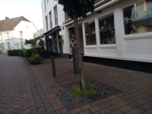
Westfälisch-Niederländisches Imkereimuseum
Museum · 7.0 km
2 Lindenstraße, Gescher
"Führungen jederzeit nach Vereinbarung"



60 more on the map.
Parks, trails and playgrounds15





Stadtpark Ramsdorf
Park · 5.1 km
Stadtpark entlang der Bocholter Aa mit Fischtreppe und zahlreichen Sitz- und Erholmöglichkeiten
24/7

3 more on the map.
Restaurants and cafes57
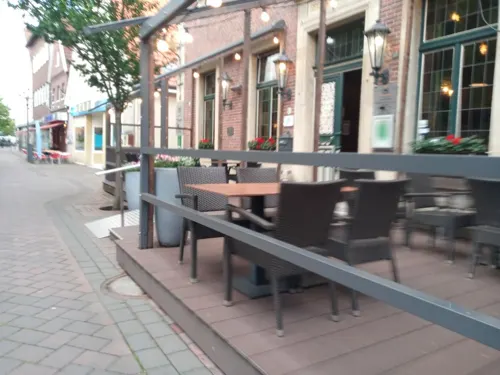
Zur Krone
Restaurant · German · 7.0 km
39 Hauptstraße, Gescher
Mo 18:00-21:30; Tu-Sa 12:00-14:00,18:00-21:30; Su 12:00-14:00
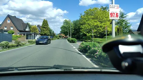

Drönings Landcafé
Cafe · Cake · 5.7 km
20 Krückling, Velen
Th,Fr 14:00-18:00; Sa 09:30-18:00; PH,Su 12:00-18:00; Mo-We off
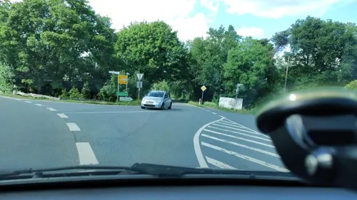
Gasthaus Rappers
Restaurant · German · 3.0 km
133 Nordvelener Straße, Velen
We-Su 11:00+; Mo,Tu,PH off
La Piccola Italia
Restaurant · Italian · 4.8 km
29 Hüpohl, Velen
Mo-Th 17:00-22:00; Fr-Sa 17:00-00:00; Su 12:00-22:00

Bäckerei Schlüter
Bakery · 6.3 km
55 Bahnhofstraße, Gescher
Mo-Fr 06:30-20:00; Sa 07:00-18:00; Su 07:00-11:00
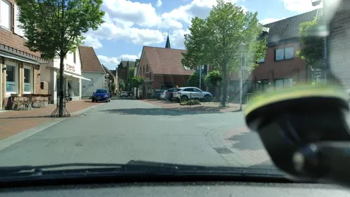
Wirtschaft Fork 1870
Bar and pub
13 Coesfelder Straße, Velen
Th 18:00-22:00, Fr-Sa 18:00-24:00; Su 14:30-18:00
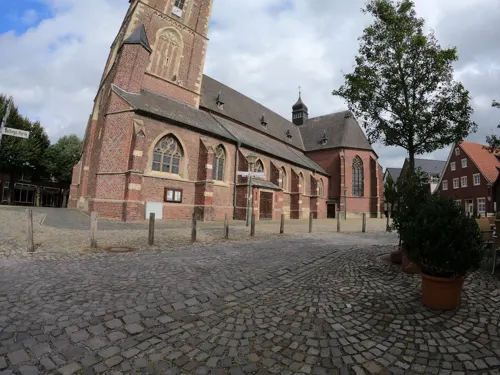


Anna van'n Hook
Bar and pub · 4.7 km
1 Lange Straße, Velen
Mo-Th 18:00-22:00, Fr 17:00-00:00+, Sa 17:00-00:00+, Su...
45 more on the map.
Where to stay12
Churches and places of worship11
St.-Antonius-Kapelle
Church · Roman Catholic · 7.2 km
Tungerloh-Capellen, Gescher
Shopping22
Gas and EV charging9
Schools, colleges and libraries12
Schule Haus Hall, Förderschule mit dem Schwerpunkt geistige Entwicklung
School · 6.7 km
Healthcare7
Map of Velen
224 places. The map loads OpenStreetMap tiles when you open it.
Getting there and nearby towns
Flughafen Essen-Mülheim (ESS) is the nearest airport with scheduled flights listed in OpenStreetMap, 55 km away.
- Vreden 19 km northwest, about 19 min by car
- Recklinghausen 34 km southeast, about 34 min by car
- Wesel 36 km southwest, about 36 min by car
- Voerde 39 km southwest, about 39 min by car
- Bottrop 41 km south, about 41 min by car
- Waltrop 42 km southeast, about 42 min by car
- Herne 43 km southeast, about 43 min by car
- Gelsenkirchen 44 km south, about 44 min by car
- Münster 44 km east, about 44 min by car
- Essen 49 km south, about 49 min by car
Drive times are estimates from straight-line distance, not routes.
Local news
Headlines from INDB.
Reviews, tips and questions
Loading what members have shared...
Sources and licences
- GeoNames (CC BY 4.0): population, coordinates, regions and time zone
- Mapillary (see each image): photos
- OpenStreetMap contributors (ODbL 1.0): places, airports, map data
- Wikidata (CC0 1.0): elevation, founding date, time zone, website
- Wikimedia Commons (see each image): photos
- Wikipedia (CC BY-SA 4.0): overview and history text
Photo credits
- Velen, Ortsansicht -- 2014 -- 7711, Dietmar Rabich, CC BY-SA 4.0
- Velen, Schloss Velen -- 2015 -- 1341, Dietmar Rabich, CC BY-SA 4.0
- Schloss Velen, Velen (00626), Günter Seggebäing, Coesfeld, CC BY-SA 3.0
- Skulptur Leineweberplatz 2020-10-16 Velen-8005, Dr. W. Strickling, CC BY-SA 4.0
- Tastrelief 2020-10-12 Velen-7816, Dr. W. Strickling, CC BY-SA 4.0
- St. Andreas, Kreuz 2020-10-12 Velen-7825, Dr. W. Strickling, CC BY-SA 4.0
- Skulptur Stadtmodell Velen, Tetzemann, CC0
- Skulptur Stadtmodell Velen1, Tetzemann, CC0
- Bildstock Ramsdorfer Str 2020-10-12 Velen-7824, Dr. W. Strickling, CC BY-SA 4.0
- St. Andreas Chorraum 2020-10-12 Velen-7817, Dr. W. Strickling, CC BY-SA 4.0
- St. Andreas Orgel 2020-10-12 Velen-7818, Dr. W. Strickling, CC BY-SA 4.0
- St. Andreas Innen 2020-10-12 Velen-7819, Dr. W. Strickling, CC BY-SA 4.0
- St. Andreas, Kreuzweg 2020-10-12 Velen-7820, Dr. W. Strickling, CC BY-SA 4.0
- Gösemarktbrunnen 2020-10-16 Velen-8004, Dr. W. Strickling, CC BY-SA 4.0
- St. Andreas, Hochaltar 2020-10-12 Velen-7822, Dr. W. Strickling, CC BY-SA 4.0
- Bildstock Schlossplatz 2020-10-12 Velen-7815, Dr. W. Strickling, CC BY-SA 4.0
- Bildstock Kirchplatz 2020-10-12 Velen-7814, Dr. W. Strickling, CC BY-SA 4.0
- St. Andreas, Velen (00632), Günter Seggebäing, Coesfeld, CC BY-SA 3.0
- Velen, Schloss Velen -- 2015 -- 1343, Dietmar Rabich, CC BY-SA 4.0
- Schloss Velen, Velen (00622), Günter Seggebäing, Coesfeld, CC BY-SA 3.0
- Ramsdorfer Strasse, Velen - geo.hlipp.de - 19058, Gregory Smith on geo.hlipp.de, CC BY-SA 2.0
- Velen, Schloss Velen -- 2015 -- 1347, Dietmar Rabich, CC BY-SA 4.0
- Schloss Velen, Velen (01668), Günter Seggebäing, Coesfeld, CC BY-SA 3.0
- Schloss Velen, Velen (01665), Günter Seggebäing, Coesfeld, CC BY-SA 3.0
- Schloss Velen, Velen (01659), Günter Seggebäing, Coesfeld, CC BY-SA 3.0
- Velen, Schloss Velen -- 2015 -- 1349, Dietmar Rabich, CC BY-SA 4.0
- SportSchloss, Velen (Hotel and sports complex, Velen) - geo.hlipp.de - 19757, Gregory Smith on geo.hlipp.de, CC BY-SA 2.0
- Antoniusbildstock Bahnhofsalle-Am Kuhn 2020-10-16 Velen-8002, Dr. W. Strickling, CC BY-SA 4.0
- Nepomukstatue Ramsdorfer Str 2020-10-16 Velen-8014, Dr. W. Strickling, CC BY-SA 4.0
- Hochkreuz Alter Friedhof 2020-10-16 Velen-8003, Dr. W. Strickling, CC BY-SA 4.0
- Kreuzkirche 2020-10-16 Velen-8017, Dr. W. Strickling, CC BY-SA 4.0
- Wegkruzifix Nordvelener Str-Prozessionsweg 2020-10-16 Velen-7998, Dr. W. Strickling, CC BY-SA 4.0
- Madonnenbildstock Ramsdorfer Str - Am Bahnhof 2020-10-16 Velen-8019, Dr. W. Strickling, CC BY-SA 4.0
- Velen Burg Ramsdorf 1, Unknown author, CC BY-SA 3.0
- Naturschutzgebiet Fürstenkuhle 08, Tetzemann, CC0
- Gescher, St. Pankratius, Duhon, CC BY-SA 3.0
- Reken Sendeanlage und Aussichtsturm am Melchenberg, Unknown author, CC BY-SA 3.0
- Gescher, Kuhlenvenn -- 2014 -- 7701, Dietmar Rabich, CC BY-SA 4.0
- Coesfeld Antoniuskapelle, Lokilech, CC BY-SA 3.0
- Velen Ramsdorf Kirche St. Walburga, Unknown author, CC BY-SA 3.0
- Hünsberg vom Kuhlenvenn, Günter Seggebäing, CC BY-SA 3.0
- Stadtbücherei St. Pankratius Gescher, Tetzemann, CC0
- Gescher, Domhotel, Rwgwiki, CC BY-SA 4.0
- Von-Galen Grundschule Gescher, Tetzemann, CC BY-SA 4.0
- 1 Kath. Pfarrkirche St. Andreas, Velen, Rwgwiki, CC BY-SA 4.0
- St. Stephanus Hochmoor 2020-10-12 Gescher-7690, Dr. W. Strickling, CC BY-SA 4.0
- Glockenmuseum Gescher, Tetzemann, CC0
- Sägemühle Gut Roß, Velen (00639), Günter Seggebäing, Coesfeld, CC BY-SA 3.0
- Düwelsteene (Heiden) 1, Günter Seggebäing, Coesfeld, Germany, CC BY-SA 3.0
- Coesfeld Monument 034 Speicher 2020-03-14, W.Strickling, CC BY-SA 4.0
- Museumshof Gescher - Panorama Bauerngarten, Tetzemann, CC0
- Coesfeld, St.-Joseph-Kirche -- 2014 -- 7746 -- Ausschnitt, Dietmar Rabich, CC BY-SA 4.0
- Street-level photo, Tetzemann82, CC BY-SA 4.0
- Street-level photo, poxonline, CC BY-SA 4.0
- Street-level photo, poxonline, CC BY-SA 4.0
- Street-level photo, geogladbecker, CC BY-SA 4.0
- Street-level photo, poxonline, CC BY-SA 4.0
- Street-level photo, poxonline, CC BY-SA 4.0
- Street-level photo, poxonline, CC BY-SA 4.0
- Street-level photo, geogladbecker, CC BY-SA 4.0
- Street-level photo, jockel76, CC BY-SA 4.0
- Street-level photo, poxonline, CC BY-SA 4.0
- Street-level photo, geogladbecker, CC BY-SA 4.0
- Street-level photo, poxonline, CC BY-SA 4.0
- Street-level photo, poxonline, CC BY-SA 4.0
- Street-level photo, schalke_05, CC BY-SA 4.0
- Street-level photo, gdm, CC BY-SA 4.0
- Street-level photo, poxonline, CC BY-SA 4.0
- Street-level photo, jockel76, CC BY-SA 4.0
- Street-level photo, jockel76, CC BY-SA 4.0
- Street-level photo, Tetzemann82, CC BY-SA 4.0
- Street-level photo, Tetzemann82, CC BY-SA 4.0
- Street-level photo, gdm, CC BY-SA 4.0
- Street-level photo, geogladbecker, CC BY-SA 4.0


Page built November 8, 2026. Spotted a mistake? Tell us or suggest a place.