


Why visit Rhede
Townapedia lists 118 museums and landmarks, 47 parks and trails, 207 places to eat, 18 places to stay and 16 attractions in and around town.
Highlights include Büffelhof Kragemann, Hofladen Biohof Rülfing, Bocholter Handwerksmuseum and LWL-Industriemuseum TextilWerk Bocholt - Weberei.
Weather in Rhede
Forecast from MET Norway (CC BY 4.0). Full forecast
About Rhede
Rhede (German: [ˈʁeːdə] ) is a municipality in the district of Borken in the state of North Rhine-Westphalia, Germany. It is located near the border with the Netherlands, approximately 5 km (3.1 mi) east of Bocholt.
From the Wikipedia article Rhede (this version), under CC BY-SA 4.0.
Things to do16


Stadttheater
Cinema and theater · 5.8 km
Das Stadttheater Bocholt befindet sich wie das neue Rathaus zur Zeit in Sanierung.
1 Berliner Platz, Bocholt
Hof Hasselhoff
Farm and orchard · 5.0 km
Eggs, seasonal vegetables, meat
Mo-Su 06:00-23:00

4 more on the map.
Museums and landmarks118

Bocholter Handwerksmuseum
Museum · 5.1 km
In einem Fachwerkhaus (1770) werden Entwicklung und Geschichte klassischer Handwerksberufe durch Handwerkszeug, Hilfsmittel, Geräte,...
Th 15:00-18:00; Su 14:00-18:00 || "nach Vereinbarung"

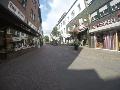
LWL-Industriemuseum TextilWerk Bocholt - Weberei
Museum · 4.6 km
50 Uhlandstraße, Bocholt
Tu-Su 10:00-18:00
Stadtmuseum Bocholt
Museum · 5.2 km
Ehemalige Textilfabrikantenvilla (1924-26) mit Exponaten aus der Geologie, Vor- und Frühgeschichte, der Stadtgeschichte und der...
66 Osterstraße, Bocholt

Euregio Kunsthaus Bocholt
Museum · 5.2 km
Ehemaliges Bürgerhaus, erbaut im Neo-Renaissance-Stil
69 Osterstraße, Bocholt
Tu-Su 11:00-13:00,15:00-18:00

Habers Mühle
Monument and historic site · 3.1 km
Holländer Turmwindmühle

Historisches Rathaus
Monument and historic site · 5.6 km
1 Markt, Bocholt
LWL-Industriemuseum TextilWerk Bocholt - Spinnerei
Museum · 4.9 km
5 Industriestraße, Bocholt
Mar-Oct: Tu-Su 10:00-18:00
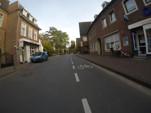
Medizin- und Apothekenmuseum Rhede
Museum · 0.6 km
14 Markt, Rhede
Tu-Su 14:00-17:00

Schloss Diepenbrock
Monument and historic site · Cake, Donut, Ice Cream · 5.3 km
Ehemaliger Rittersitz
1 Schlossallee, Bocholt
We-Sa 13:00-18:00; Su 09:30-18:00; SH Mo-Sa 13:00-18:00; SH Su 09:30-18:00


106 more on the map.
Parks, trails and playgrounds47

Inselbad Bahia
Sports field and stadium · 6.6 km
169 Hemdener Weg, Bocholt
Mo-Fr 09:00-22:00; Su,PH 09:00-21:00




Spielplatz St. Helena
Playground · 6.3 km
Sandkasten, Seilbahn, Klettergerüste, Matsch-Ecke, Mini-Golf, zugleich Außengelände des Pfarrheims St. Helena
27 Barloer Ringstraße, Bocholt

Bikepark Rhede
Park · 0.8 km
Nutzungsbedingungen - Mindestalter: 10 Jahre - Helmpflicht - Keine motorisierten Fahrzeuge - Keine Drogen und kein Alkohol
Mo-Su 08:00-22:00
35 more on the map.
Restaurants and cafes207

Timberjacks
Restaurant · Barbecue, Steak House, Burger, American · 5.4 km
25 Kaiser-Wilhelm-Straße, Bocholt
Mo-Th,Su 11:30-23:00; Fr-Sa 11:30-24:00
Bäckerei Ebbing
Bakery · 5.6 km
6 Ludwig-Erhard-Straße, Bocholt
Mo-Fr 08:00-19:00; Sa 08:00-17:00; Su,PH off
China Star
Restaurant · Chinese · 6.6 km
16 - 18 Werther Straße, Bocholt
Mo-Sa 11:30-15:00,17:30-22:30; Su 11:30-22:30
Gyoza Bar
Restaurant · Asian · 5.9 km
35 Ravardistraße, Bocholt
Mo-Tu,Th-Sa 11:30-14:30,17:00-22:00 open; PH,Su 13:00-22:00 open; We closed
Kawaii Restaurant
Restaurant · Sushi · 5.4 km
23 Osterstraße, Bocholt
Mo-Sa 12:00-15:00,17:30-22:00;Su 14:00-22:00;Tu off
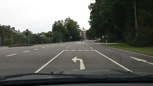
Marija Restaurant
Restaurant · Steak House · 5.6 km
1 Im Ellerbrock, Bocholt
Mo-Sa 15:00-23:00; Su 11:30-22:30
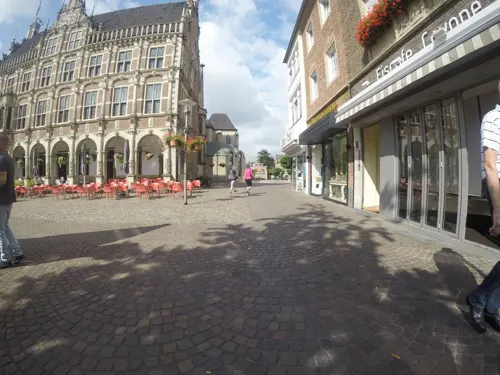
Mythos
Restaurant · Greek · 5.6 km
3 Markt, Bocholt
Tu-Th 12:00-14:30, 17:00-22:00; Fr-Sa 12:00-14:30, 17:00-23:00; Su...
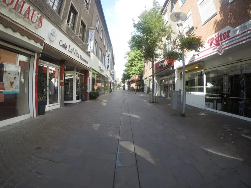


Thai Food Ayutthaya
Restaurant · Thai · 6.3 km
29a Westend, Bocholt
Mo-Th 12:00-21:00; Fr-Su 12:00-22:00
195 more on the map.
Where to stay18
Churches and places of worship27
St. Georg
Church · Roman Catholic · 5.6 km
3 St.-Georg-Platz, Bocholt
Sankt Agnes Kirche
Church · Roman Catholic · 5.3 km
5 Schonenberg, Bocholt
St. Josef
Church · Roman Catholic · 5.7 km
1 Kirchplatz St. Josef, Bocholt
St. Maria Immaculata
Church · Roman Catholic · 5.1 km
61 Rhedebrügger Straße, Borken
Shopping70
Gas and EV charging14
Schools, colleges and libraries37
Healthcare19
Map of Rhede
250 places. The map loads OpenStreetMap tiles when you open it.
Getting there and nearby towns
Airport Weeze (NRN) is the nearest airport with scheduled flights listed in OpenStreetMap, 46 km away.
- Wesel 19 km south, about 19 min by car
- Schermbeck 21 km southeast, about 21 min by car
- Velen 21 km east, about 21 min by car
- Stadtlohn 23 km northeast, about 23 min by car
- Vreden 24 km north, about 24 min by car
- Voerde 27 km south, about 27 min by car
- Xanten 26 km southwest, about 26 min by car
- Rheinberg 33 km south, about 33 min by car
- Bottrop 38 km southeast, about 38 min by car
- Oberhausen 41 km south, about 41 min by car
Drive times are estimates from straight-line distance, not routes.
Local news
Headlines from INDB.
Reviews, tips and questions
Loading what members have shared...
Sources and licences
- GeoNames (CC BY 4.0): population, coordinates, regions and time zone
- Mapillary (see each image): photos
- OpenStreetMap contributors (ODbL 1.0): places, airports, map data
- Wikidata (CC0 1.0): elevation, founding date, time zone, website
- Wikimedia Commons (see each image): photos
- Wikipedia (CC BY-SA 4.0): overview and history text
Photo credits
- Rhede, Ortsansicht -- 2014 -- 0048, Dietmar Rabich, CC BY-SA 4.0
- Rhede, St. Gudula (04), Subbass1, CC BY-SA 4.0
- 2026 Byld fan Sint-Gûdûla yn 'e Sint-Gûdûlatsjerke fan Rhede (Borken), RomkeHoekstra, CC0
- Rhede, St. Gudula (32), Subbass1, CC BY 3.0
- Rhede, St. Gudula (35), Subbass1, CC BY 3.0
- Rhede, St. Gudula (27), Subbass1, CC BY 3.0
- Rhede, St. Gudula (36), Subbass1, CC BY 3.0
- Rhede, St. Gudula (30), Subbass1, CC BY 3.0
- Rhede, St. Gudula (15), Subbass1, CC BY 3.0
- Rhede, St. Gudula (52), Subbass1, CC BY 3.0
- Rhede, St. Gudula (29), Subbass1, CC BY 3.0
- Rhede, St. Gudula (49), Subbass1, CC BY 3.0
- Rhede, St. Gudula (06), Subbass1, CC BY-SA 4.0
- Rhede, St. Gudula (37), Subbass1, CC BY 3.0
- Rhede, St. Gudula (16), Subbass1, CC BY 3.0
- Rhede, St. Gudula (19), Subbass1, CC BY 3.0
- Rhede, St. Gudula (47), Subbass1, CC BY 3.0
- Rhede, St. Gudula (43), Subbass1, CC BY 3.0
- Rhede, St. Gudula (28), Subbass1, CC BY 3.0
- Rhede, St. Gudula (40), Subbass1, CC BY 3.0
- Rhede, St. Gudula (46), Subbass1, CC BY 3.0
- Rhede, St. Gudula (42), Subbass1, CC BY 3.0
- Rhede, St. Gudula (33), Subbass1, CC BY 3.0
- Rhede, St. Gudula (18), Subbass1, CC BY-SA 4.0
- Rhede, St. Gudula (34), Subbass1, CC BY 3.0
- Rhede, St. Gudula (31), Subbass1, CC BY 3.0
- Rhede, St. Gudula (07), Subbass1, CC BY-SA 4.0
- Rhede, St. Gudula (39), Subbass1, CC BY 3.0
- Rhede, St. Gudula (38), Subbass1, CC BY 3.0
- Rhede, St. Gudula (17), Subbass1, CC BY 3.0
- Rhede, St. Gudula (50), Subbass1, CC BY 3.0
- Rhede, St. Gudula (45), Subbass1, CC BY 3.0
- Rhede, St. Gudula (44), Subbass1, CC BY 3.0
- Rhede, St. Gudula (41), Subbass1, CC BY 3.0
- Rhede, St. Gudula (51), Subbass1, CC BY 3.0
- Rhede, St. Gudula (12), Subbass1, CC BY-SA 4.0
- Rhede, St. Gudula (24), Subbass1, CC BY 3.0
- Apostelkirche (Bocholt) autostitch, The original uploader was Stahlkocher at German Wikipedia ., CC BY-SA 3.0
- Bocholt St Georg, Chris06, Public domain
- 20140720 113716 Schloss Rhede, Rhede (DSC04387), Günter Seggebäing, Coesfeld, CC BY-SA 3.0
- Handwerksmuseum Bocholt, The original uploader was Stahlkocher at German Wikipedia ., CC BY-SA 3.0
- 2005-11 bocholt rathaus, Ziko-C, CC BY-SA 3.0
- Haus Diepenbrock1, Gouwenaar, Public domain
- St-Helena-Kirche in Bocholt Barlo 2008, Alaska Saedelaere, CC BY-SA 3.0
- Bocholt St. Paul Ansicht 2016 1, Kameister, CC BY-SA 4.0
- 2025-04-22 LWL-Museum Textilwerk Weberei 85, Ziko van Dijk, CC BY-SA 4.0
- Christuskirche Bocholt, Odna, CC BY-SA 4.0
- St. Maria Immaculata 02, Helfmann, CC BY-SA 3.0
- Bocholt, St.-Josef-Gymnasium -- 2014 -- 2133, Dietmar Rabich, CC BY-SA 4.0
- Ziehbrunnen Dingdener Heide, Frebeck, CC BY-SA 3.0
- Winter in der Dingdener Heide, Frebeck, CC BY-SA 3.0
- Hemmings Schlinke nsg wdpaid 81864 NE nw 20200301 1344, Karlunun, CC BY-SA 4.0
- Mumbecker Bach nsg wdpaid 329528 SW ne 20200301 1242, Karlunun, CC BY-SA 4.0
- Windmühle Habers in Rhede 01, Muehlenbernd, CC BY-SA 4.0
- Bocholt, Pfarrkirche St. Josef, Hans Börsting, CC BY-SA 4.0
- Yasmin hohenhorst1, Elisa S.aus B., CC BY-SA 4.0
- Bocholt Agneskapelle2, Chris06, Public domain
- Bocholt Minoritenkirche, Chris06, Public domain
- Street-level photo, cAble_Guy, CC BY-SA 4.0
- Street-level photo, Lowiekse, CC BY-SA 4.0
- Street-level photo, poxonline, CC BY-SA 4.0
- Street-level photo, sirix, CC BY-SA 4.0
- Street-level photo, sirix, CC BY-SA 4.0
- Street-level photo, sirix, CC BY-SA 4.0
- Street-level photo, sirix, CC BY-SA 4.0
- Street-level photo, sirix, CC BY-SA 4.0
- Street-level photo, sirix, CC BY-SA 4.0
- Street-level photo, sirix, CC BY-SA 4.0
- Street-level photo, sirix, CC BY-SA 4.0
- Street-level photo, thewizard, CC BY-SA 4.0
- Street-level photo, sirix, CC BY-SA 4.0
- Street-level photo, sirix, CC BY-SA 4.0
- Street-level photo, baldur80, CC BY-SA 4.0
- Street-level photo, poxonline, CC BY-SA 4.0
- Street-level photo, sirix, CC BY-SA 4.0
- Street-level photo, poxonline, CC BY-SA 4.0
- Street-level photo, poxonline, CC BY-SA 4.0
- Street-level photo, sirix, CC BY-SA 4.0
- Street-level photo, sirix, CC BY-SA 4.0
- Street-level photo, sirix, CC BY-SA 4.0
- Street-level photo, poxonline, CC BY-SA 4.0
- Street-level photo, sirix, CC BY-SA 4.0
- Street-level photo, poxonline, CC BY-SA 4.0
- Street-level photo, sirix, CC BY-SA 4.0
- Street-level photo, poxonline, CC BY-SA 4.0
- Street-level photo, gdm, CC BY-SA 4.0
- Street-level photo, poxonline, CC BY-SA 4.0
- Street-level photo, poxonline, CC BY-SA 4.0
- Street-level photo, poxonline, CC BY-SA 4.0
- Street-level photo, sirix, CC BY-SA 4.0


Page built November 8, 2026. Spotted a mistake? Tell us or suggest a place.