


Raesfeld, Germany
Raesfeld is a town of 11,218 people in North Rhine-Westphalia, Germany.
Why visit Raesfeld
Townapedia lists 51 museums and landmarks, 19 parks and trails, 34 places to eat, 6 places to stay and 3 attractions in and around town.
Highlights include Hof Stegerhoff, Schulte's Hof, Schloss Raesfeld and Haus Döring.
Weather in Raesfeld
Forecast from MET Norway (CC BY 4.0). Full forecast
About Raesfeld
Raesfeld (German pronunciation: [ˈʁaːsfɛlt]) is a municipality in the district of Borken in the state of North Rhine-Westphalia, Germany. It is located approximately 10 km south of Borken and 30 km east of the Dutch border.
From the Wikipedia article Raesfeld (this version), under CC BY-SA 4.0.
Things to do3
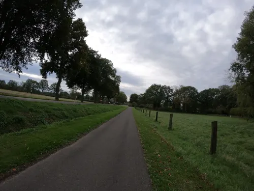
Hof Stegerhoff
Farm and orchard · 2.7 km
44 Marienthaler Straße, Raesfeld
Mo-Fr 08:00-18:30; Sa 08:00-14:30; Su off

Schulte's Hof
Farm and orchard · 5.7 km
2 Schützenstraße, Dorsten
Th,Sa 09:00-13:00; Fr 09:00-13:00, 14:30-18:00

Museums and landmarks51

Schloss Raesfeld
Monument and historic site · 1.5 km
Vorburg Schloss Raesfeld; Sterndeuterturm
25 Freiheit, Raesfeld

Haus Döring
Monument and historic site · 6.2 km
5 Haus Döringweg, Borken





39 more on the map.
Parks, trails and playgrounds19





7 more on the map.
Restaurants and cafes34


Bäckerei Spangemacher
Bakery · 1.0 km
30 Weseler Straße, Raesfeld
Mo-Fr 05:30-18:30; Sa 05:30-13:00; Su 07:30-11:00
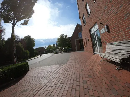
Bäckerei Spangemacher
Bakery · 2.4 km
1 Silvesterstraße, Raesfeld
Mo-Fr 06:00-18:00; Sa 06:00-13:00; Su 07:30-11:00
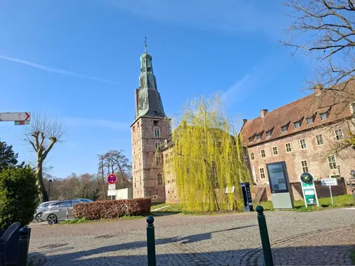
Hellas Parga
Restaurant · Greek · 6.1 km
41 Engelradingstraße, Borken
Mo-Fr 17:00-23:00; Sa-Su 11:30-23:00; PH open
Terschluse
Bakery · 6.1 km
49 Engelradingstraße, Borken
Mo-Fr 06:00-18:00; Sa 06:00-16:00; Su 07:30-17:00
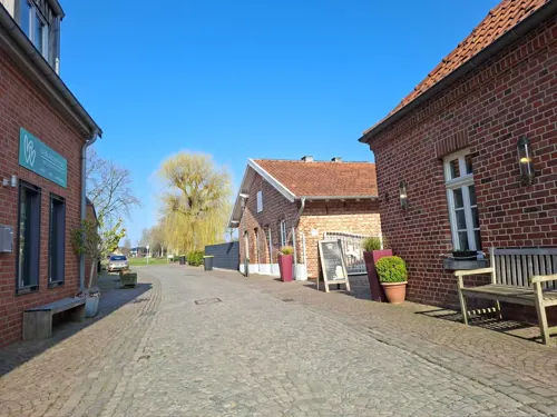
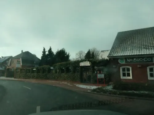


Na-Buc-Co
Restaurant · Italian · 2.5 km
1 Höltingswall, Raesfeld
Tu-Sa 17:00-22:20; Su 12:00-22:00
22 more on the map.
Where to stay6
Churches and places of worship11
St. Michael
Church · Roman Catholic · 4.7 km
87 Marbecker Straße, Borken
Shopping7
Gas and EV charging7
Schools, colleges and libraries6
Gesamtschule Borken-Raesfeld und Alexanderschule (Haupt-u.Realschule)
School · 0.8 km
10 Zum Michael, Raesfeld
Healthcare3
Map of Raesfeld
147 places. The map loads OpenStreetMap tiles when you open it.
Getting there and nearby towns
Flughafen Essen-Mülheim (ESS) is the nearest airport with scheduled flights listed in OpenStreetMap, 41 km away.
- Schermbeck 9 km south, about 9 min by car
- Rhede 13 km northwest, about 13 min by car
- Velen 17 km northeast, about 17 min by car
- Wesel 19 km southwest, about 19 min by car
- Voerde 22 km southwest, about 22 min by car
- Stadtlohn 26 km north, about 26 min by car
- Bottrop 28 km south, about 28 min by car
- Recklinghausen 29 km southeast, about 29 min by car
- Oberhausen 32 km south, about 32 min by car
- Gelsenkirchen 34 km southeast, about 34 min by car
Drive times are estimates from straight-line distance, not routes.
Local news
Headlines from INDB.
Reviews, tips and questions
Loading what members have shared...
Sources and licences
- GeoNames (CC BY 4.0): population, coordinates, regions and time zone
- Mapillary (see each image): photos
- OpenStreetMap contributors (ODbL 1.0): places, airports, map data
- Wikidata (CC0 1.0): elevation, founding date, time zone, website
- Wikimedia Commons (see each image): photos
- Wikipedia (CC BY-SA 4.0): overview and history text
Photo credits
- Wasserschloß Raesfeld2, No machine-readable author provided. Reinobild assumed (based on copyright claims)., Public domain
- Stolperstein Raesfeld Borkener Straße 4 Emma Elkan, Gmbo 2013, CC0
- Stolperstein Raesfeld Dorstener Straße 12 Hedwig Eckstein, Gmbo 2013, CC0
- Raesfeld, St.-Martin-Kirche -- 2014 -- 2031 -- Ausschnitt, Dietmar Rabich, CC BY-SA 4.0
- 20140720 110844 Schloss Raesfeld, Raesfeld (DSC04125), Günter Seggebäing, Coesfeld, CC BY-SA 3.0
- Raesfeld, Einkaufszentrum -- 2014 -- 2030, Dietmar Rabich, CC BY-SA 4.0
- 20140720 110839 Schloss Raesfeld, Raesfeld (DSC04124), Günter Seggebäing, Coesfeld, CC BY-SA 3.0
- Raesfeld, St.-Sebastian-Schule -- 2014 -- 2029 -- Ausschnitt, Dietmar Rabich, CC BY-SA 4.0
- Raesfeld, St.-Sebastian-Schule -- 2014 -- 2029, Dietmar Rabich, CC BY-SA 4.0
- Raesfeld, Seniorenhaus Sankt Martin -- 2014 -- 2028, Dietmar Rabich, CC BY-SA 4.0
- 20140720 110835 Schloss Raesfeld, Raesfeld (DSC04123), Günter Seggebäing, Coesfeld, CC BY-SA 3.0
- 20140720 110832 Schloss Raesfeld, Raesfeld (DSC04122), Günter Seggebäing, Coesfeld, CC BY-SA 3.0
- Raesfeld, St.-Martin-Kirche -- 2014 -- 2031, Dietmar Rabich, CC BY-SA 4.0
- Raesfeld, St.-Martin-Kirche -- 2014 -- 2032, Dietmar Rabich, CC BY-SA 4.0
- Stolperstein Raesfeld Dorstener Straße 12 Juliana Eckstein, Gmbo 2013, CC0
- Stolperstein Raesfeld Dorstener Straße 12 Otto Eckstein, Gmbo 2013, CC0
- Stolperstein Raesfeld Dorstener Straße 12 Henny Löwenherz, Gmbo 2013, CC0
- Stolperstein Raesfeld Dorstener Straße 12 Helga Löwenherz, Gmbo 2013, CC0
- Raesfeld, St.-Martin-Kirche -- 2014 -- 2027, Dietmar Rabich, CC BY-SA 4.0
- Stolperstein Raesfeld Dorstener Straße 12 Richard Löwenherz, Gmbo 2013, CC0
- Stolperstein Raesfeld Dorstener Straße 12 Levi Schwarz, Gmbo 2013, CC0
- Raesfeld, St.-Martin-Kirche -- 2014 -- 2026, Dietmar Rabich, CC BY-SA 4.0
- 20140720 110824 Schloss Raesfeld, Raesfeld (DSC04121), Günter Seggebäing, Coesfeld, CC BY-SA 3.0
- Raesfeld, Schloss Raesfeld -- 2014 -- 2033, Dietmar Rabich, CC BY-SA 4.0
- Stolpersteine Raesfeld Borkener Straße 4, Gmbo 2013, CC0
- Stolperstein Raesfeld Borkener Straße 4 Moses Elkan, Gmbo 2013, CC0
- Stolpersteinlage Raesfeld Borkener Straße 4, Gmbo 2013, CC0
- Denkmal Synagoge Raesfeld 2020-06-30 6423, Dr. W. Strickling, CC BY-SA 4.0
- 20140720 110821 Schloss Raesfeld, Raesfeld (DSC04120), Günter Seggebäing, Coesfeld, CC BY-SA 3.0
- Baudenkmal 16 St. Martin Raesfeld 2020-06-30 6435, Dr. W. Strickling, CC BY-SA 4.0
- Raesfeld - Niewerther Hof Hotel - 01, Xosema, CC BY-SA 4.0
- Raesfeld - Igrexa de San Martin - Iglesia de San Martin - St. Martin Church - 01, Xosema, CC BY-SA 4.0
- Raesfeld - Igrexa de San Martin - Iglesia de San Martin - St. Martin Church - 02, Xosema, CC BY-SA 4.0
- Stolpersteine Raesfeld Dorstener Straße 12, Gmbo 2013, CC0
- Ignaz-Böckenhoff-Weg in Raesfeld, Reinhard G. Nießing, CC0
- Raesfeld - Pregoneiro - Pregonero - Town crier - Ausrufer vom dicken Stein - 01, Xosema, CC BY-SA 4.0
- Stolpersteinlage Raesfeld Weseler Straße 12, Gmbo 2013, CC0
- Gut Engelrading Dezember 2016, Wik FGK, CC BY-SA 4.0
- Erler Femeiche YU7X6523, Reinhard G. Nießing, CC BY-SA 4.0
- 20140720 110649 Schloss Raesfeld, Raesfeld (DSC04100), Günter Seggebäing, Coesfeld, CC BY-SA 3.0
- Rhade St. Urbanus, Uwe Barghaan, CC BY-SA 3.0
- 20160917 mk alpenstrandläufer 001, Matthias Kaiser, CC BY-SA 4.0
- Borken-Marbeck Haus Döring, Döringsweg 5 2018, Uwe Barghaan, CC BY-SA 3.0
- Holzbrücke im Tiergarten Schloss Raesfeld, Reinhard G. Nießing, CC BY-SA 4.0
- St Silvester-Raesfeld-Erle, Daniel Ullrich, Threedots, CC BY-SA 3.0
- Stolperstein Raesfeld Weseler Straße 43 Abraham Rosenbaum, Gmbo 2013, CC0
- Stolperstein Raesfeld Weseler Straße 43 Dina Rosenbaum, Gmbo 2013, CC0
- Akvokastela kapelo Raesfeld St. Sebastian, Thomas Pusch, CC BY-SA 3.0
- Ev. Kirche Raesfeld 2020-06-30 6415, Dr. W. Strickling, CC BY-SA 4.0
- Stolperstein Raesfeld Weseler Straße 12 Amalie Elkan, Gmbo 2013, CC0
- ©RGN Foto Museum am Schloss Raesfeld IMG 5616, Reinhard G. Nießing, CC BY-SA 4.0
- Heimathaus Marbeck Borken-3118, User:Creosoph, CC BY-SA 4.0
- Street-level photo, poxonline, CC BY-SA 4.0
- Street-level photo, huna, CC BY-SA 4.0
- Street-level photo, geogladbecker, CC BY-SA 4.0
- Street-level photo, geogladbecker, CC BY-SA 4.0
- Street-level photo, poxonline, CC BY-SA 4.0
- Street-level photo, poxonline, CC BY-SA 4.0
- Street-level photo, huna, CC BY-SA 4.0
- Street-level photo, huna, CC BY-SA 4.0
- Street-level photo, huna, CC BY-SA 4.0
- Street-level photo, poxonline, CC BY-SA 4.0
- Street-level photo, huna, CC BY-SA 4.0
- Street-level photo, poxonline, CC BY-SA 4.0
- Street-level photo, geogladbecker, CC BY-SA 4.0
- Street-level photo, geogladbecker, CC BY-SA 4.0
- Street-level photo, huna, CC BY-SA 4.0
- Street-level photo, huna, CC BY-SA 4.0
- Street-level photo, huna, CC BY-SA 4.0
- Street-level photo, diecookieente, CC BY-SA 4.0
- Street-level photo, geogladbecker, CC BY-SA 4.0
- Street-level photo, geogladbecker, CC BY-SA 4.0
- Street-level photo, poxonline, CC BY-SA 4.0
- Street-level photo, huna, CC BY-SA 4.0


Page built November 8, 2026. Spotted a mistake? Tell us or suggest a place.