


Ostbevern, Germany
Ostbevern is a town of 10,644 people in North Rhine-Westphalia, Germany.
Why visit Ostbevern
Townapedia lists 73 museums and landmarks, 55 parks and trails, 58 places to eat, 17 places to stay and 4 attractions in and around town.
Highlights include Telgenkämmerken, Relígio, Museum der historischen Waschtechnik and BeverBad.
Weather in Ostbevern
Forecast from MET Norway (CC BY 4.0). Full forecast
About Ostbevern
Ostbevern (German pronunciation: [ˈɔstˌbeːvɐn], lit. 'East Bevern', in contrast to "West Bevern"; Low German: Austbiäwern) is a municipality in the district of Warendorf, in North Rhine-Westphalia, Germany.
From the Wikipedia article Ostbevern (this version), under CC BY-SA 4.0.
Things to do4

Telgenkämmerken
Farm and orchard · 7.3 km
Münsterländer Spezialitäten
Mo-Fr 09:00-18:00; Sa 09:00-13:00; Apr-Jun Su 09:00-13:00

Museums and landmarks73


Museum der historischen Waschtechnik
Museum · 6.0 km
Mo-Sa off; Su,PH 14:00-17:00

Burg Halstenbeck (abgegangen)
Monument and historic site · 3.4 km
Ehem. Burg, 1377 zerstört, 2003 über Bodenuntersuchungen lokalisiert und mit Baumreihen im Gelände symbolisiert

Telgter Gnadenbild
Monument and historic site · Catholic · 7.3 km
Barocker Bildstock aus dem 18. Jahrhundert. Er besteht aus zwei Teilen, dem Sockel und der reliefartigen Darstellung des Telgter Gnadenbildes.
61 more on the map.
Parks, trails and playgrounds55

BeverBad
Sports field and stadium
22 Hanfgarten
Mo off; Tu 06:30-08:00,09:15-10:15,15:00-21:00; We 15:00-21:00; Th...

Golfclub Gut Hahues zu Telgte
Golf course · 6.3 km
5 Harkampsheide, Telgte
Apr-Oct: Tu-Fr 10:00-17:00; Apr-Oct: Sa-Su 11:00-14:00; Nov-Apr:...

Haus Langen
Hiking and trails · 6.3 km
Reste einer Turmhügelburg, Zerstört im Jahr 1276, teilweiser Wiederaufbau im 18. Jhd



43 more on the map.
Restaurants and cafes58
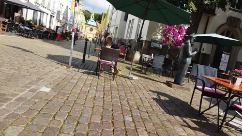
Bonvivan
Restaurant · Italian · 7.5 km
26 Steinstraße, Telgte
Mo-Fr 17:00-22:00; Sa 11:00-22:00; Su 11:30-22:00
De Deele - Drinkenstiet
Restaurant · German, Westfälisch · 6.1 km
5 Ladbergener Straße, Brock
Mo-We off; Th-Fr 18:00-22:00; Sa 15:00-22:00; Su 11:30-21:00
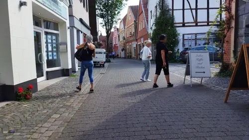
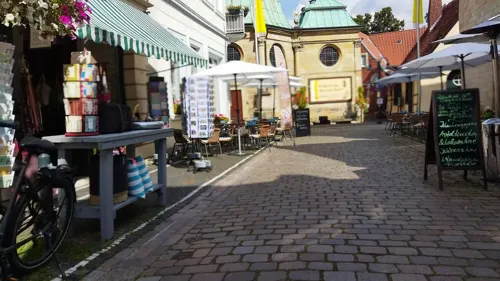
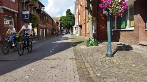
Griechischer-Grill-Elia
Restaurant · Greek · 7.4 km
27 Königstraße, Telgte
Mo-Fr 11:30-14:30,17:00-21:30; PH,Su 17:00-21:30; Sa off

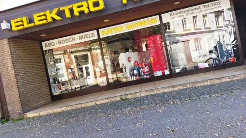
Im wilden Mann
Bar and pub · Snacks · 7.3 km
25 Emsstraße, Telgte
Mo-Tu off; We-Fr 17:00-01:00; Sa-Su 15:00-01:00
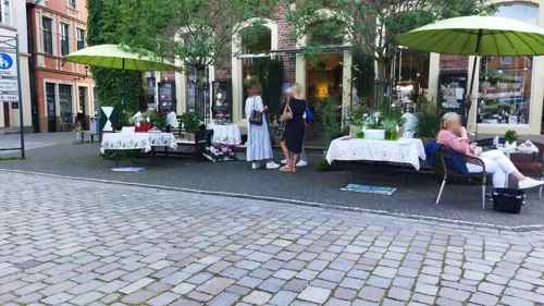


Mittelmeerraum
Restaurant · Mediterranean · 7.4 km
1 Bahnhofstraße, Telgte
Mo, Tu, Th-Su 17:30-22:00; We off

46 more on the map.
History
In 1088 Bevern was first mentioned in an official document under the name Beverne. Presumably in the 12th century the parish Bevern was split into Ostbevern and Westbevern (which is now part of Telgte).
During the Napoleonic Wars the municipality first fell to Prussia, then to Berg. Since 1810, it then belonged to the French Empire, until Ostbevern was assigned to prussia again at the Congress of Vienna. Since World War II Ostbevern lies in North Rhine-Westphalia.
From the History section of Ostbevern on Wikipedia, under CC BY-SA 4.0.
Where to stay17
Churches and places of worship15
Clemenskirche
Church · Catholic · 7.2 km
3 Kardinal-von-Galen-Platz, Telgte
Pfarrkirche Ss Cornelius & Ss Cyprian
Church · Catholic · 4.7 km
1 Kirchplatz, Telgte
Shopping23
Gas and EV charging5
Schools, colleges and libraries15
Healthcare8
Map of Ostbevern
250 places. The map loads OpenStreetMap tiles when you open it.
Getting there and nearby towns
Münster Osnabrück Airport (FMO) is the nearest airport with scheduled flights listed in OpenStreetMap, 15 km away.
- Telgte 8 km southwest, about 8 min by car
- Warendorf 14 km southeast, about 14 min by car
- Sassenberg 15 km east, about 15 min by car
- Münster 17 km southwest, about 17 min by car
- Versmold 21 km east, about 21 min by car
- Sendenhorst 22 km south, about 22 min by car
- Hasbergen 23 km north, about 23 min by car
- Hilter 23 km northeast, about 23 min by car
- Osnabrück 30 km northeast, about 30 min by car
- Westerkappeln 31 km north, about 31 min by car
Drive times are estimates from straight-line distance, not routes.
Local news
Headlines from INDB.
Reviews, tips and questions
Loading what members have shared...
Sources and licences
- GeoNames (CC BY 4.0): population, coordinates, regions and time zone
- Mapillary (see each image): photos
- OpenStreetMap contributors (ODbL 1.0): places, airports, map data
- Wikidata (CC0 1.0): elevation, founding date, time zone, website
- Wikimedia Commons (see each image): photos
- Wikipedia (CC BY-SA 4.0): overview and history text
Photo credits
- Ostbevern Ambrosius 8, Daniel Brockpähler, CC BY-SA 3.0
- Ostbevern, St.-Ambrosius-Kirche -- 2014 -- 8513 -- Ausschnitt, Dietmar Rabich, CC BY-SA 4.0
- 20140601 123537 Beversee mit Kleingärten, Ostbevern (DSC02153), Günter Seggebäing, Coesfeld, CC BY-SA 3.0
- Ostbevern, Beverbad -- 2014 -- 8519, Dietmar Rabich, CC BY-SA 4.0
- Ostbevern, St.-Ambrosius-Kirche -- 2014 -- 8520, Dietmar Rabich, CC BY-SA 4.0
- Ostbevern, St.-Ambrosius-Kirche -- 2014 -- 8520 -- Ausschnitt, Dietmar Rabich, CC BY-SA 4.0
- Ostbevern, Bauernhof -- 2014 -- 8518, Dietmar Rabich, CC BY-SA 4.0
- 20140601 123138 Friedhof und Klärwerk, Ostbevern (DSC02146), Günter Seggebäing, Coesfeld, CC BY-SA 3.0
- Ostbevern, Schwanensee -- 2014 -- 8486, Dietmar Rabich, CC BY-SA 4.0
- Ostbevern, St. Ambrosius (07), Subbass1, CC BY-SA 4.0
- 20140601 123155 Schloss Loburg und Collegium Johanneum, Ostbevern (DSC02147), Günter Seggebäing, Coesfeld, CC BY-SA 3.0
- Ostbevern, St. Ambrosius (08), Subbass1, CC BY-SA 4.0
- Ostbevern, St. Ambrosius (02), Subbass1, CC BY-SA 4.0
- Ostbevern, St. Ambrosius (02) (cropped), Subbass1, CC BY-SA 4.0
- Ostbevern, St. Ambrosius (03), Subbass1, CC BY-SA 4.0
- Ostbevern, St. Ambrosius (05), Subbass1, CC BY-SA 4.0
- Ostbevern, St. Ambrosius (04), Subbass1, CC BY-SA 4.0
- Ostbevern, St. Ambrosius (06), Subbass1, CC BY-SA 4.0
- Ostbevern, St. Ambrosius (01), Subbass1, CC BY-SA 4.0
- Ostbevern, Loburg -- 2014 -- 8487, Dietmar Rabich, CC BY-SA 4.0
- Ostbevern, Loburg -- 2014 -- 8488, Dietmar Rabich, CC BY-SA 4.0
- Ostbevern, Mühle und Kutschenmuseum -- 2014 -- 8517, Dietmar Rabich, CC BY-SA 4.0
- 20140601 123206 Schloss Loburg und Collegium Johanneum, Ostbevern (DSC02148), Günter Seggebäing, Coesfeld, CC BY-SA 3.0
- Ostbevern, Mühle und Kutschenmuseum -- 2014 -- 8516, Dietmar Rabich, CC BY-SA 4.0
- Ostbevern, Friwo -- 2014 -- 8485, Dietmar Rabich, CC BY-SA 4.0
- Ostbevern, Mühle und Kutschenmuseum -- 2014 -- 8515, Dietmar Rabich, CC BY-SA 4.0
- Ostbevern, Mühle und Kutschenmuseum -- 2014 -- 8514, Dietmar Rabich, CC BY-SA 4.0
- Ostbevern, Ortsansicht -- 2014 -- 8489, Dietmar Rabich, CC BY-SA 4.0
- Ostbevern, Wischhausstraße -- 2014 -- 8490, Dietmar Rabich, CC BY-SA 4.0
- Ostbevern, St.-Ambrosius-Kirche -- 2014 -- 8513, Dietmar Rabich, CC BY-SA 4.0
- Ostbevern, Wischhausstraße -- 2014 -- 8491, Dietmar Rabich, CC BY-SA 4.0
- Ostbevern, Kreisverkehr an der Bundesstraße 51 -- 2014 -- 8484, Dietmar Rabich, CC BY-SA 4.0
- Ostbevern Annakapelle 02, Daniel Brockpähler, CC BY-SA 3.0
- Burg Halstenbeck, Overberg, CC BY-SA 3.0
- Ostbevern Christuskirche, Daniel Brockpähler, CC BY-SA 3.0
- Gemeindezentrum Ostbevern, Overberg, CC BY-SA 4.0
- Herz-Jesu-Brock, Overberg, CC BY-SA 3.0
- Krippenmuseum Telgte, Unknown author, CC BY-SA 3.0
- Loburg2018 (47), Lambiotte, CC BY-SA 4.0
- Knabenkraut (Breitblättriges), Kookaburra91156, CC BY-SA 4.0
- Bevermündung DSC0972, Rainer Halama, CC BY-SA 4.0
- Ostbevern, Schirlheide -- 2014 -- 8474, Dietmar Rabich, CC BY-SA 4.0
- WallfahrtskapelleTelgte, MrsMyer at German Wikipedia, CC BY-SA 3.0
- Telgte, Clemenskirche und Gnadenkapelle -- 2014 -- 8455 -- Ausschnitt, Dietmar Rabich, CC BY-SA 4.0
- Street-level photo, mikemw, CC BY-SA 4.0
- Street-level photo, kgvx, CC BY-SA 4.0
- Street-level photo, kgvx, CC BY-SA 4.0
- Street-level photo, changchun1, CC BY-SA 4.0
- Street-level photo, mikemw, CC BY-SA 4.0
- Street-level photo, changchun1, CC BY-SA 4.0
- Street-level photo, changchun1, CC BY-SA 4.0
- Street-level photo, changchun1, CC BY-SA 4.0
- Street-level photo, changchun1, CC BY-SA 4.0
- Street-level photo, changchun1, CC BY-SA 4.0
- Street-level photo, changchun1, CC BY-SA 4.0
- Street-level photo, changchun1, CC BY-SA 4.0
- Street-level photo, changchun1, CC BY-SA 4.0
- Street-level photo, mikemw, CC BY-SA 4.0
- Street-level photo, baldur80, CC BY-SA 4.0
- Street-level photo, baldur80, CC BY-SA 4.0
- Street-level photo, changchun1, CC BY-SA 4.0
- Street-level photo, changchun1, CC BY-SA 4.0
- Street-level photo, changchun1, CC BY-SA 4.0
- Street-level photo, changchun1, CC BY-SA 4.0
- Street-level photo, mikemw, CC BY-SA 4.0
- Street-level photo, kgvx, CC BY-SA 4.0
- Street-level photo, antikerritter, CC BY-SA 4.0
- Street-level photo, changchun1, CC BY-SA 4.0
- Street-level photo, changchun1, CC BY-SA 4.0
- Street-level photo, changchun1, CC BY-SA 4.0
- Street-level photo, changchun1, CC BY-SA 4.0
- Street-level photo, changchun1, CC BY-SA 4.0
- Street-level photo, changchun1, CC BY-SA 4.0


Page built November 8, 2026. Spotted a mistake? Tell us or suggest a place.