


Why visit Grünstadt
Townapedia lists 54 museums and landmarks, 12 parks and trails, 85 places to eat, 15 places to stay and 5 attractions in and around town.
Highlights include Trappenhof, Filmwelt Grünstadt, Museum an der Münze and Ritterstein 293 "Hohfels".
Weather in Grünstadt
Forecast from MET Norway (CC BY 4.0). Full forecast
About Grünstadt
Grünstadt (German pronunciation: [ˈɡʁʏnˌʃtat] ; Palatine German: Grinnschdadt) is a town in the Bad Dürkheim district in Rhineland-Palatinate, Germany with roughly 13,200 inhabitants. It does not belong to any Verbandsgemeinde – a kind of collective municipality – but is nonetheless the administrative seat of the Verbandsgemeinde of Leiningerland.
From the Wikipedia article Grünstadt (this version), under CC BY-SA 4.0.
Things to do5

Trappenhof
Farm and orchard · 4.0 km
1 Am Hettenheimer Weg, Ebertsheim
We 15:00-18:00, Fr 15:00-17:00, Sa 09:30-12:00


Museums and landmarks54

Museum an der Münze
Museum · 2.9 km
6 Kirchengasse
Apr-Oct: Su[1] 14:00-17:00; Apr-Oct: Su[3] 14:00-17:00

Ritterstein 293 "Hohfels"
Monument and historic site · 1.9 km
1 km westlich von Asselheim, zwischen Hochberg, Langental und Höllenberg. Hinweis auf die hier westlich in der Nähe liegende Höhle.

Alfons Kalter
Monument and historic site
Ecke Bitzenstraße/ Ringgasse, die Steine liegen in der Bitzenstraße
Alma Michel
Monument and historic site
Eckgrundstück, Vorstadt und Bingerlochgasse, der Stein liegt genau an der Ecke
Berta Lion
Monument and historic site
Haus steht nicht mehr, es ist die Ecke Östlicher Graben, Poststraße neben der ehemaligen Synagoge


Emilie Michel
Monument and historic site
Eckgrundstück, Vorstadt und Bingerlochgasse, der Stein liegt genau an der Ecke

Heinrich Lion
Monument and historic site
Haus steht nicht mehr, es ist die Ecke Östlicher Graben, Poststraße neben der ehemaligen Synagoge

42 more on the map.
Parks, trails and playgrounds12

CabaLela – Cabriobad Leiningerland
Sports field and stadium · 0.7 km
11 Bückelhaube, Grünstadt
Mo-Sa 08:00-21:00;PH,Su 08:00-20:00

Felsenberg-Berntal
Park · 6.9 km
Nature reserve in Rheinland-Pfalz, Germany




Restaurants and cafes85

Alte Kellerei
Restaurant · Coffee Shop, Regional · 2.9 km
40-42 Untergasse, Neuleiningen
Fr-Su 12:00-20:00
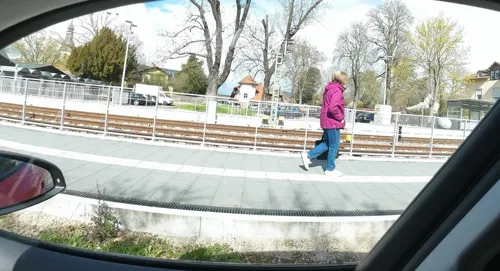
Alter Bahnhof
Restaurant · Regional · 3.2 km
1 Bahnhofstraße, Kirchheim an der Weinstraße
Tu-Su 11:30-23:00
Burgschänke Neuleiningen
Restaurant · Regional · 2.8 km
14 Kirchengasse, Neuleiningen
Th,Fr,Su-Tu 12:00-14:00, Th-Tu 17:30-23:00; We off
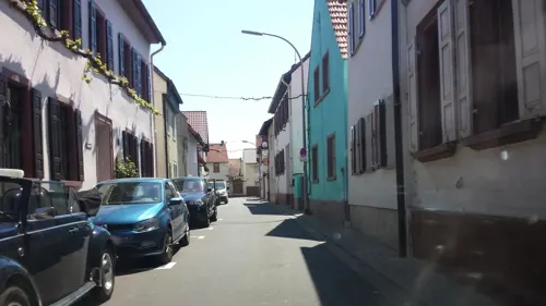
Cancun
Restaurant · Mexican, Pizza, German · 1.7 km
18 Rathausstraße, Grünstadt
Mo-Fr 17:00-22:00, Sa-Su 17:00-21:30
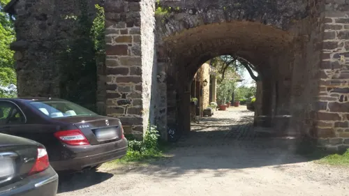
Gutsschenke Burg Battenberg
Restaurant · German · 3.7 km
Burg Battenberg, Battenberg (Pfalz)
We-Fr 16:00+; Sa,Su,PH 12:00+; Mo,Tu off
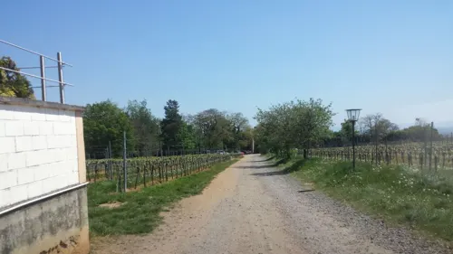
Weingut Denig
Bar and pub · 3.7 km
4 Hauptstraße, Battenberg (Pfalz)
Mo-Fr 08:00-13:00; Sa 09:00-16:00; Su 09:30-13:00
Brauhaus Grünstadt
Restaurant
11 Turnstraße, Grünstadt
Mo,We-Fr 17:00-23:00; Su 11:30-21:00; Sa 11:30-23:00; Tu off

Hellsbell
Restaurant · 3.6 km
11 Kleine Wust, Quirnheim
Tu-Th 17:00-23:00; Fr 17:00-24:00; Sa 11:30-24:00; Su 11:30-23:00; Mo off


Herts Restaurant
Restaurant
19 Kirchheimer Straße, Grünstadt
Tu, Sa 17:00-22:00; Su, We-Fr 11:30-14:00, 17:30-22:00
73 more on the map.
Where to stay15
Wohnmobil-Stellplätze Pfeiffer
Campground · 3.0 km
8 Kleinkarlbacher Straße, Kirchheim an der Weinstraße
Wohnmobilstellplätze Weingut Rogenwieser
Campground · 3.5 km
10 Am Grünborn, Kirchheim an der Weinstraße
Churches and places of worship24
St. Nikolaus
Church · Catholic · 2.8 km
15 Kirchengasse, Neuleiningen
Andreaskirche
Church · Protestant · 3.0 km
6 Weinstraße Nord, Kirchheim an der Weinstraße
Evangelische Kirche Albsheim
Church · Protestant · 2.5 km
20 Albsheimer Hauptstraße, Obrigheim (Pfalz)
Martinskirche
Church · Protestant · 3.6 km
6 Kirchgasse, Battenberg (Pfalz)
Protestantische Kirche Obersülzen
Church · Protestant · 3.7 km
3 An der Kirche, Obersülzen
Shopping14
Gas and EV charging8
Schools, colleges and libraries12
Healthcare6
Map of Grünstadt
235 places. The map loads OpenStreetMap tiles when you open it.
Getting there and nearby towns
City-Airport Mannheim (MHG) is the nearest airport with scheduled flights listed in OpenStreetMap, 27 km away.
- Herxheim am Berg 6 km south, about 6 min by car
- Worms 16 km northeast, about 16 min by car
- Mutterstadt 19 km southeast, about 19 min by car
- Ludwigshafen am Rhein 22 km southeast, about 22 min by car
- Lampertheim 23 km east, about 23 min by car
- Haßloch 23 km south, about 23 min by car
- Limburgerhof 23 km southeast, about 23 min by car
- Bürstadt 23 km northeast, about 23 min by car
- Mannheim 23 km east, about 23 min by car
- Neustadt an der Weinstraße 24 km south, about 24 min by car
Drive times are estimates from straight-line distance, not routes.
Local news
Headlines from INDB.
Reviews, tips and questions
Loading what members have shared...
Sources and licences
- GeoNames (CC BY 4.0): population, coordinates, regions and time zone
- Mapillary (see each image): photos
- OpenStreetMap contributors (ODbL 1.0): places, airports, map data
- Wikidata (CC0 1.0): elevation, founding date, time zone, website, landmarks and historic places
- Wikimedia Commons (see each image): photos
- Wikipedia (CC BY-SA 4.0): overview and history text
Photo credits
- Fussgaengerzone Gruenstadt 01, Immanuel Giel, CC BY-SA 3.0
- Baustelle Wohnmobilstellplätze Bückelhaube Grünstadt, Emilius123, CC BY-SA 4.0
- Globus Grünstadt Tanken, Emilius123, CC BY-SA 4.0
- Jüdischer Friedhof Grünstadt, Telford, CC BY-SA 3.0
- Grünstadt Blue house 100, Jacquesverlaeken, CC BY-SA 4.0
- Hauptbahnhof Grünstadt - panoramio, Immanuel Giel, CC BY 3.0
- 02.04.93 Grünstadt 628292, Phil Richards, CC BY-SA 4.0
- Grünstadt 1906 house 105, Jacquesverlaeken, CC BY-SA 4.0
- Grünstadt St Petersparc gravestone 18thc 088, Jacquesverlaeken, CC BY-SA 4.0
- Grünstadt Railway 086, Jacquesverlaeken, CC BY-SA 4.0
- Stadtpark-Pavillon Grünstadt, Muck, CC BY-SA 4.0
- Ehrenmal Grünstadt, Muck, CC BY-SA 4.0
- Globus Grünstadt Car Wash, Emilius123, CC BY-SA 4.0
- Globus Grünstadt Sauger, Emilius123, CC BY-SA 4.0
- Globus Grünstadt Sauger 2, Emilius123, CC BY-SA 4.0
- Berntal, Wofl, CC BY 3.0
- Herxheim am Berg 05, Immanuel Giel, CC BY-SA 3.0
- 2009-Kirchheim-Kirche-48, Mundartpoet <Dialog auf Hochdeutsch>, CC BY-SA 3.0
- Battenberg2, No machine-readable author provided. Palatinatian assumed (based on copyright claims)., CC BY-SA 2.5
- Burg Neuleiningen Bergfried, Unknown author, CC BY-SA 3.0
- Pfarrkirche St. Nikolaus, Neuleiningen von der Burg aus fotografiert., Claus Ableiter, CC BY-SA 3.0
- Protestantische-Martinskirche-Gruenstadt-01, Immanuel Giel, CC BY-SA 3.0
- Albsheim Kirche von Süden 2, Altera levatur, CC0
- Battenberg Martinskirche 1, Altera levatur, CC0
- 2006-Obersuelzen-Prot-Wehrkirche, Mundartpoet at German Wikipedia, CC BY-SA 3.0
- Sausenheim Peterskirche mit Turm, Altera levatur, CC BY-SA 3.0
- Sausenheim 06, Immanuel Giel, CC BY-SA 3.0
- Sausenheim Fuchshöhle 1, Altera levatur, CC BY-SA 4.0
- Ebertsheim Kirche 02, Immanuel Giel, CC BY-SA 3.0
- Mertesheim Katholische Kirche 2, Altera levatur, CC0
- Ritterstein 293 Hohfels Urgeschichtliche Wohnhoehle, pfalz39, CC BY-SA 3.0
- H'manns Neuleiningen, Wegavision, CC BY-SA 4.0
- Neuleiningen St. Nikolaus, Unknown author, CC BY-SA 3.0
- Burg-Neuleiningen-07, Immanuel Giel, CC BY-SA 3.0
- Grünstadt Judenfriedhof Eingang, Altera levatur, CC BY-SA 4.0
- Blitzröhren Battenberg 02, Telford, CC BY-SA 3.0
- Martinskirche Grünstadt 2 (bearb Sp), Altera levatur, CC0
- Neuleiningen 01, Immanuel Giel, CC0
- Schlossbrunnen vor der Martinskirche - panoramio, Immanuel Giel, CC BY 3.0
- Obelix, Asterix, Tim und Struppi - panoramio, Immanuel Giel, CC BY 3.0
- Street-level photo, atze02, CC BY-SA 4.0
- Street-level photo, wegavision, CC BY-SA 4.0
- Street-level photo, teddy73, CC BY-SA 4.0
- Street-level photo, wegavision, CC BY-SA 4.0
- Street-level photo, wegavision, CC BY-SA 4.0
- Street-level photo, wegavision, CC BY-SA 4.0
- Street-level photo, changchun1, CC BY-SA 4.0
- Street-level photo, atze02, CC BY-SA 4.0
- Street-level photo, wegavision, CC BY-SA 4.0
- Street-level photo, atze02, CC BY-SA 4.0
- Street-level photo, wegavision, CC BY-SA 4.0
- Street-level photo, changchun1, CC BY-SA 4.0
- Street-level photo, wegavision, CC BY-SA 4.0
- Street-level photo, atze02, CC BY-SA 4.0
- Street-level photo, wegavision, CC BY-SA 4.0
- Street-level photo, wegavision, CC BY-SA 4.0
- Street-level photo, atze02, CC BY-SA 4.0
- Street-level photo, atze02, CC BY-SA 4.0


Page built November 8, 2026. Spotted a mistake? Tell us or suggest a place.