


Why visit Haselünne
Townapedia lists 57 museums and landmarks, 116 parks and trails, 56 places to eat, 20 places to stay and 9 attractions in and around town.
Highlights include Hofladen Kulinarisches Hasetal, hASETOR, Alte Klosterkirche and Brennereimuseum Haselünne.
Weather in Haselünne
Forecast from MET Norway (CC BY 4.0). Full forecast
About Haselünne
Haselünne (German pronunciation: [ˈhaːzl̩ˌʏnə] ) is a town in Lower Saxony, Germany, in the district of Emsland. It is situated on the river Hase, approx. 15 km east of Meppen.
From the Wikipedia article Haselünne (this version), under CC BY-SA 4.0.
Things to do9
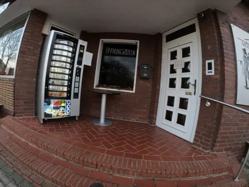
Hofladen Kulinarisches Hasetal
Farm and orchard · 4.4 km
15 Tönjesstraße, Haselünne
Fr 09:00-18:00; Sa 09:00-13:00



Museums and landmarks57

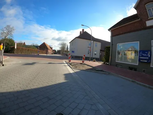

Exhibition Centre for the Archaeology of the Emsland
Museum · 12.4 km
Museum in Germany


Alte Katholische Volksschule Hülsen
Monument and historic site · 4.4 km
7a Alte Schulstraße, Haselünne


Dreiherrenstein
Monument and historic site · 10.3 km
An dieser Stelle wurde ein 1956 bei Moorarbeiten gefundener alter Grenzstein wieder aufgestellt.
45 more on the map.
Parks, trails and playgrounds116






104 more on the map.
Restaurants and cafes56

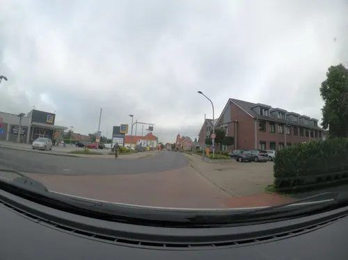
Balkan
Restaurant · Greek, Italian, Turkish, Yugoslavian
4 Meppener Straße, Haselünne
Mo-Th 17:30-23:00, Fr,Sa 17:30-23:30, PH,Su...
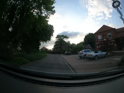
Kolpinghaus
Restaurant · Regional
11 Kolpingstraße, Haselünne
Tu-Sa 17:00+; Su,PH 12:00-14:00,17:00+; Mo off
Landhaus Eppe
Restaurant · Regional · 9.8 km
11 Teglinger Hauptstraße, Meppen
We-Fr 17:00-21:00; Sa 11:30-14:00,17:00-21:00; Su...
Lotus - Schnellrestaurant
Restaurant · Asian
9 Krummer Dreh, Haselünne
Mo off; Tu-Su 12:00-14:00,17:00-21:30
Lünner Deele
Restaurant · Regional
5 Lähdener Straße, Haselünne
Th-Tu 17:00+, Su[2,4] 11:00-14:00; We off
Restaurant Alter Hase
Restaurant · Regional · 7.8 km
18 Hasestraße, Herzlake
Tu-Sa 12:00-21:30; Su 09:00+; Mo off
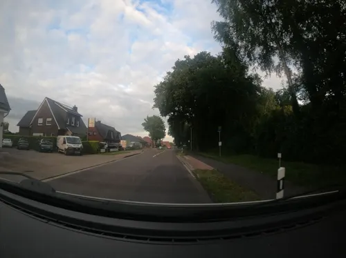
Restaurant zum Wacholderhain
Restaurant · German · 1.3 km
25 Brandenburger Straße, Haselünne
We-Mo 17:00-22:00
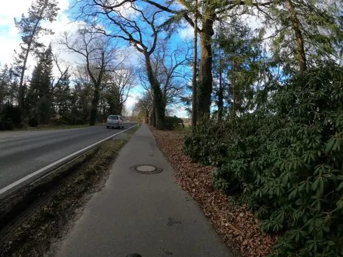
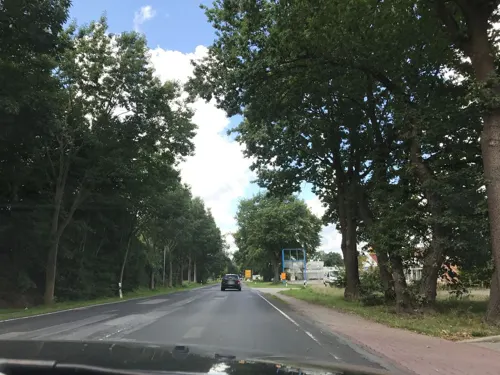
Biener Landbäckerei Wintering
Bakery · 1.1 km
64 Meppener Straße, Haselünne
Mo-Fr 06:00-20:00; Sa 06:00-18:00; PH off
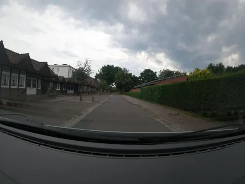


44 more on the map.
Where to stay20
Churches and places of worship17
Pfarrkirche St. Vincentius
Church · Roman Catholic
8 Kirchstraße, Haselünne
St. Antonius Abt in Teglingen
Church · Catholic · 9.8 km
14 Teglinger Hauptstraße, Meppen
St.-Franziskus-Kirche Flechum
Church · Catholic · 5.5 km
4 Franziskusstraße, Haselünne
Shopping19
Gas and EV charging10
Raiffeisen Ems-Vechte Tankstelle Haselünne
Gas station · 1.1 km
3 Elterner Straße, Haselünne
Schools, colleges and libraries17
Healthcare4
Map of Haselünne
250 places. The map loads OpenStreetMap tiles when you open it.
Getting there and nearby towns
Flugplatz Varrelbusch (VAC) is the nearest airport with scheduled flights listed in OpenStreetMap, 46 km away.
- Meppen 13 km west, about 13 min by car
- Lingen 20 km southwest, about 20 min by car
- Löningen 20 km east, about 20 min by car
- Wietmarschen 29 km southwest, about 29 min by car
- Quakenbrück 31 km east, about 31 min by car
- Recke 37 km southeast, about 37 min by car
- Nordhorn 39 km southwest, about 39 min by car
- Neuenhaus 40 km southwest, about 40 min by car
- Hörstel 42 km south, about 42 min by car
- Rheine 44 km south, about 44 min by car
Drive times are estimates from straight-line distance, not routes.
Local news
Headlines from INDB.
Reviews, tips and questions
Loading what members have shared...
Sources and licences
- GeoNames (CC BY 4.0): population, coordinates, regions and time zone
- Mapillary (see each image): photos
- OpenStreetMap contributors (ODbL 1.0): places, airports, map data
- Wikidata (CC0 1.0): elevation, founding date, time zone, website, landmarks and historic places
- Wikimedia Commons (see each image): photos
- Wikipedia (CC BY-SA 4.0): overview and history text
Photo credits
- Haselünne - Krummer Dreh + Flusslandschaft (Angela Große) + Rathaus 01 ies, Frank Vincentz, CC BY-SA 3.0
- Stolperstein Haselünne Hasestraße 15 Anneliese Steinburg, Gmbo 2013, CC0
- Stolpersteinlage Haselünne Krummer Dreh 23, Gmbo 2013, CC0
- Stolpersteine Haselünne Krummer Dreh 23, Gmbo 2013, CC0
- Stolperstein Haselünne Krummer Dreh 23 Frieda Fiebelmann, Gmbo 2013, CC0
- Stolperstein Haselünne Krummer Dreh 23 Goldiene Fiebelmann, Gmbo 2013, CC0
- Stolperstein Haselünne Krummer Dreh 23 Heinz-Herbert Fiebelmann, Gmbo 2013, CC0
- Stolperstein Haselünne Krummer Dreh 21 Ida Steinburg, Gmbo 2013, CC0
- Stolperstein Haselünne Krummer Dreh 21 Hubert Steinburg, Gmbo 2013, CC0
- Stolperstein Haselünne Krummer Dreh 21 Fritz Steinburg, Gmbo 2013, CC0
- Stolpersteinlage Haselünne Krummer Dreh 21, Gmbo 2013, CC0
- Stolpersteine Haselünne Krummer Dreh 21, Gmbo 2013, CC0
- Haselünne Ackerbürgerhäuser, Hagar66, Public domain
- Stolperstein Haselünne Hasestraße 15 Paul Steinburg, Gmbo 2013, CC0
- Stolperstein Haselünne Hasestraße 15 Minna Steinburg, Gmbo 2013, CC0
- Stolpersteine Haselünne Hasestraße 15, Gmbo 2013, CC0
- Stolperstein Haselünne Hasestraße 15 Israel Steinburg, Gmbo 2013, CC0
- Meppen - Apeldorner Hauptstraße - Der Steinerne Schlüssel 05 ies, Frank Vincentz, CC BY-SA 3.0
- Moorbirkenwald Emsland, Elke Freese, CC BY-SA 3.0
- Sankt-Vitus-Bokeloh 1, HOWI - Horsch, Willy, CC BY 2.5
- Haselünne Tarpane, Andreas Plenz, CC BY-SA 3.0
- Lechtegoor 05, Derbrauni, CC BY-SA 3.0
- Naturschutzgebiet Lahrer Moor, Andreas Herrmann, CC BY-SA 4.0
- Lähden - Clemenskoppel + NSG Tiefe Vehn 01 ies, Frank Vincentz, CC BY-SA 3.0
- Gymnasium St. Ursula Haselünne, Thomas Pusch, CC BY-SA 3.0
- Preĝejo St. Vincentius Haselünne, Thomas Pusch, CC BY-SA 3.0
- Dohren katolika kirko a, Thomas Pusch, CC BY-SA 4.0
- 2021-06-25 St. Antonius Kapelle Bückelte 07, Bärbel Miemietz, CC BY-SA 4.0
- NLD 35902344 Bawinkel Mühlenstraße 18, Elke Onnen, CC BY 4.0
- Alte Klosterkirche Haselünne, Mergello, CC BY-SA 4.0
- Stolperstein Haselünne Petersilienstraße 3 Alexander Fiebelmann, Gmbo 2013, CC0
- Stolperstein Haselünne Nordstraße 3 Anna Steinburg, Gmbo 2013, CC0
- Stolperstein Haselünne Petersilienstraße 29 Beate Fiebelmann, Gmbo 2013, CC0
- Herzlake - St. Nikolaus, Heribert Duling (Famduling), CC BY-SA 4.0
- VHS Standort Haselünne, Mergello, CC BY-SA 4.0
- Lechtegoor 07, Derbrauni, CC BY-SA 3.0
- Klein Berßen - Wiesenstraße - Wahrsteene 13 ies, Frank Vincentz, CC BY-SA 3.0
- Haselünne St.Vincentius Hasesee, Corradox, CC BY-SA 3.0
- Hasestrasse 27 in Haseluenne (1), Krzysztof Golik, CC BY-SA 4.0
- Markt 3 Haselunne (1), Krzysztof Golik, CC BY-SA 4.0
- Street-level photo, Langfahrer, CC BY-SA 4.0
- Street-level photo, Langfahrer, CC BY-SA 4.0
- Street-level photo, Langfahrer, CC BY-SA 4.0
- Street-level photo, Langfahrer, CC BY-SA 4.0
- Street-level photo, Langfahrer, CC BY-SA 4.0
- Street-level photo, Langfahrer, CC BY-SA 4.0
- Street-level photo, jmsbert, CC BY-SA 4.0
- Street-level photo, jmsbert, CC BY-SA 4.0
- Street-level photo, littlefool, CC BY-SA 4.0
- Street-level photo, Langfahrer, CC BY-SA 4.0
- Street-level photo, jmsbert, CC BY-SA 4.0
- Street-level photo, Langfahrer, CC BY-SA 4.0
- Street-level photo, svenruppert, CC BY-SA 4.0
- Street-level photo, jmsbert, CC BY-SA 4.0
- Street-level photo, Langfahrer, CC BY-SA 4.0
- Street-level photo, Langfahrer, CC BY-SA 4.0
- Street-level photo, Langfahrer, CC BY-SA 4.0
- Street-level photo, Langfahrer, CC BY-SA 4.0
- Street-level photo, Langfahrer, CC BY-SA 4.0
- Street-level photo, Langfahrer, CC BY-SA 4.0
- Street-level photo, Langfahrer, CC BY-SA 4.0
- Street-level photo, Langfahrer, CC BY-SA 4.0
- Street-level photo, deleted_user, CC BY-SA 4.0
- Street-level photo, littlefool, CC BY-SA 4.0
- Street-level photo, jmsbert, CC BY-SA 4.0
- Street-level photo, jmsbert, CC BY-SA 4.0


Page built November 8, 2026. Spotted a mistake? Tell us or suggest a place.