


Why visit Pettstadt
Townapedia lists 6 museums and landmarks, 2 parks and trails, 16 places to eat, 2 places to stay and 1 attraction in and around town.
Highlights include Franzosenmarter, Lieb Herrchäla and Sandgrasheide Pettstadt.
Weather in Pettstadt
Forecast from MET Norway (CC BY 4.0). Full forecast
About Pettstadt
Pettstadt is a municipality in the Upper Franconian district of Bamberg with about 1,900 inhabitants.
From the Wikipedia article Pettstadt (this version), under CC BY-SA 4.0.
Things to do1
Museums and landmarks6

Franzosenmarter
Monument and historic site
Fundament; Säule mit gebrochenen Kanten; Aufsatz mit dreiseitigem Relief (Kreuzigungsgruppe, der hl. Petrus und der hl. Matthäus); auf...

Lieb Herrchäla
Monument and historic site
Gebauchter Sockel mit Altartisch; barocker Bildstock; Bildnische mit Kreuzschlepper-Relief; Satteldach mit Ziegeleindeckung. Den...

Die Rot Marter
Monument and historic site · 2.7 km
Holzmarter mit drei Einkerbungen; am unteren Teil Messingschild mit Inschrift; im oberen Teil ein verziertes Holzkreuz; An dieser Stelle...
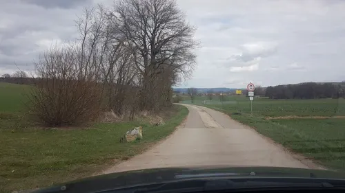
Die Weiß Marter
Monument and historic site · 2.7 km
Marter mit Ruhstein und verziertem Eisenkreuz

Parks, trails and playgrounds2

Restaurants and cafes16
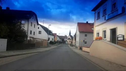
Wirtshaus Melber
Restaurant · Bavarian · 3.0 km
18 Höfener Hauptstraße, Stegaurach
Tu-Sa 14:00-22:00; Su,PH 11:00-22:00; Mo off
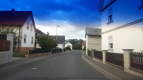

Schmausenkeller
Restaurant · 2.9 km
13 Am Bahnhof, Frensdorf
Mo,We-Fr 15:45-22:00; Sa 12:00-22:00; Su 11:00-22:00; Tu off

Taverne Artemis
Restaurant · Greek
17:00-22:00; Mo off; Su,PH 11:30-14:00, 17:00-21:30

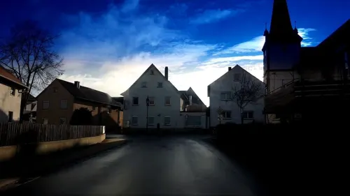

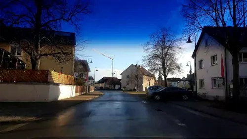


4 more on the map.
History
The community had its first documentary mention in 1070 as Betestat. The placename goes back to a personal name, Petto, which around the year 1000 was quite common in the Frankish-Thuringian area. In 1399 came the establishment of the parish of Pettstadt. In 1754, the Baroque church was built under architect Johann Jakob Michael Küchel. The community belonged to the Cathedral Chapter of Bamberg of the High Monastery at Bamberg, and with the Reichsdeputationshauptschluss of 1803, the community passed to Bavaria. In the course of administrative reform in Bavaria, today’s community came into being under the Gemeindeedikt (“Community Edict”) of 1818. In 2002, the administrative community (Verwaltungsgemeinschaft) with Frensdorf, which had been instituted in the course of later administrative reform, was dissolved.
From the History section of Pettstadt on Wikipedia, under CC BY-SA 4.0.
Where to stay2
Churches and places of worship5
Mariä Himmelfahrt
Church · Roman Catholic · 3.1 km
25a Höfener Hauptstraße, Stegaurach
St. Otto
Church · Roman Catholic · 2.9 km
10 Reundorfer Hauptstraße, Frensdorf
Maria vom Berge Karmel
Church · Roman Catholic · 2.9 km
19 Erlacher Hauptstraße, Hirschaid
Shopping4
Gas and EV charging3
Schools, colleges and libraries1
Healthcare1
Map of Pettstadt
41 places. The map loads OpenStreetMap tiles when you open it.
Getting there and nearby towns
Verkehrslandeplatz Burg Feuerstein (URD) is the nearest airport with scheduled flights listed in OpenStreetMap, 15 km away.
- Hirschaid 5 km east, about 5 min by car
- Bamberg 8 km north, about 8 min by car
- Pommersfelden 11 km southwest, about 11 min by car
- Walsdorf 11 km west, about 11 min by car
- Forchheim 16 km southeast, about 16 min by car
- Höchstadt an der Aisch 16 km southwest, about 16 min by car
- Priesendorf 18 km northwest, about 18 min by car
- Erlangen 27 km south, about 27 min by car
- Herzogenaurach 29 km south, about 29 min by car
- Bad Staffelstein 31 km north, about 31 min by car
Drive times are estimates from straight-line distance, not routes.
Local news
Headlines from INDB.
Reviews, tips and questions
Loading what members have shared...
Sources and licences
- GeoNames (CC BY 4.0): population, coordinates, regions and time zone
- Mapillary (see each image): photos
- OpenStreetMap contributors (ODbL 1.0): places, airports, map data
- Wikidata (CC0 1.0): elevation, founding date, time zone, website
- Wikimedia Commons (see each image): photos
- Wikipedia (CC BY-SA 4.0): overview and history text
Photo credits
- Pettstadt Luftbild-20211024-RM-115106, Ermell, CC BY-SA 4.0
- Pettstadt Bildstock P3280008, Ermell, CC BY-SA 4.0
- Pettstadt Bildstock 3280015, Ermell, CC BY-SA 4.0
- Kirche-Pettstadt-Altäre-Interieur-1000802, Ermell, CC BY-SA 4.0
- Pettstadt Kirche Luftbild-20211024-RM-113245, Ermell, CC BY-SA 4.0
- Pettstadt-Eisenbahn-P1296656, ermell, CC BY-SA 4.0
- Pettstadt Lokomotive 17RM2132, Ermell, CC BY-SA 4.0
- Pettstadt Kirche Luftbild-20230529-RM-171912, Ermell, CC BY-SA 4.0
- Pettstadt Kirche Luftbild-20230529-RM-171707, Ermell, CC BY-SA 4.0
- Pettstadt Kirche Luftbild-20230529-RM-171826, Ermell, CC BY-SA 4.0
- Pettstadt Kirche Luftbild-20230529-RM-171803, Ermell, CC BY-SA 4.0
- Pettstadt-easter-fountain-1200005, ermell, CC BY-SA 4.0
- Pettstadt 1000817 18 19 20 21-2, ermell, CC BY-SA 4.0
- Kirche-Pettstadt-Orgel-1000772, Ermell, CC BY-SA 4.0
- Pettstadt 1000822 3 4 5 6-2, ermell, CC BY-SA 4.0
- Pettstadt 1000837 38 39 40 41, ermell, CC BY-SA 4.0
- Pettstadt Kreuz 3280011, Ermell, CC BY-SA 4.0
- Pettstadt Kriegerdenkmal 3280001, Ermell, CC BY-SA 4.0
- Pettstadt Kriegerdenkmal 3280003, Ermell, CC BY-SA 4.0
- Pettstadt Pfarrhaus 3280004, Ermell, CC BY-SA 4.0
- Pettstadt Kreuz Christus 3280007, Ermell, CC BY-SA 4.0
- Pettstadt Statue Nepomuk P3280009, Ermell, CC BY-SA 4.0
- Pettstadt-Eisenbahn-P1296665, ermell, CC BY-SA 4.0
- Pettstadt Bildstock-RM-20180610-01, Ermell, CC BY-SA 4.0
- Pettstadt Wegkapelle P3280013, Ermell, CC BY-SA 4.0
- Pettstadt Friedhofskapelle 3280014, Ermell, CC BY-SA 4.0
- Pettstadt Luftbild-20211024-RM-114910, Ermell, CC BY-SA 4.0
- Pettstadt Luftbild-20211024-RM-114941, Ermell, CC BY-SA 4.0
- Pettstadt Wald Luftbild-20211024-RM-115204, Ermell, CC BY-SA 4.0
- Pettstadt Luftbild Panorama-20211024-RM-115000, Ermell, CC BY-SA 4.0
- Pettstadt Panorama Nebel -20191219-RM-105122, Ermell, CC BY-SA 4.0
- Rauhe Ebrach Pettstadt-20200410-RM-165149, Ermell, CC BY-SA 4.0
- Frensdorf-Reundorf St Otto 2016, Benreis, CC BY 3.0
- Röbersdorf Kirche Luftbild-20240428-RM-154316, Reinhold Möller, CC BY-SA 4.0
- Sandgrasheide Pettstadt 1, barbaraglessinger, CC BY-SA 3.0
- Höfen-Kirche-P8053773, ermell, CC BY-SA 4.0
- Pettstadt Sandgrasheide-20191015-RM-102216, Ermell, CC BY-SA 4.0
- Reundorf Kirche-20210602-RM-160746, Ermell, CC BY-SA 4.0
- Rauhe Ebrach, Nico1995fcb, CC BY-SA 4.0
- Eichenhof Bauernhaus-20151108-RM-153041, Ermell, CC BY-SA 4.0
- Räucherbauch Schmausenkeller, Benreis, CC BY 3.0
- Street-level photo, r66, CC BY-SA 4.0
- Street-level photo, r66, CC BY-SA 4.0
- Street-level photo, r66, CC BY-SA 4.0
- Street-level photo, wegavision, CC BY-SA 4.0
- Street-level photo, r66, CC BY-SA 4.0
- Street-level photo, r66, CC BY-SA 4.0
- Street-level photo, r66, CC BY-SA 4.0
- Street-level photo, r66, CC BY-SA 4.0
- Street-level photo, r66, CC BY-SA 4.0
- Street-level photo, r66, CC BY-SA 4.0
- Street-level photo, r66, CC BY-SA 4.0
- Street-level photo, r66, CC BY-SA 4.0
- Street-level photo, r66, CC BY-SA 4.0
- Street-level photo, r66, CC BY-SA 4.0
- Street-level photo, r66, CC BY-SA 4.0
- Street-level photo, r66, CC BY-SA 4.0
- Street-level photo, mfa, CC BY-SA 4.0
- Street-level photo, r66, CC BY-SA 4.0
- Street-level photo, r66, CC BY-SA 4.0


Page built November 9, 2026. Spotted a mistake? Tell us or suggest a place.