


Why visit Heyersum
Townapedia lists 3 museums and landmarks, 4 parks and trails, 11 places to eat, 3 places to stay and 1 attraction in and around town.
Highlights include Freizeitbad Nordstemmen.
Weather in Heyersum
Forecast from MET Norway (CC BY 4.0). Full forecast
Things to do1

Museums and landmarks3

Parks, trails and playgrounds4

Freizeitbad Nordstemmen
Sports field and stadium · 2.6 km
2 Am Freibad, Nordstemmen
Mo-Sa 06:00-20:00, Su 07:00-20:00


Restaurants and cafes11
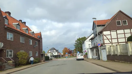
Ristorante Jaylano
Restaurant · Italian · 2.1 km
43 Hauptstraße, Nordstemmen
Tu-Fr 11:30-14:30,17:00-22:30; Sa 16:00-22:30; Su 12:00-22:00

Steffis Sportgaststätte
Restaurant · International · 1.5 km
22 Schlingweg, Nordstemmen
Mo off; Tu,We,Fr,Sa 17:00-22:00 "Schließt bei weniger Betrieb um...
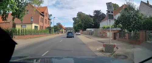
Biels Backhaus
Bakery · 1.4 km
10 Hildesheimer Straße, Nordstemmen
Mo-Fr 08:00-18:00, Sa 06:00-17:00, Su 07:30-17:00
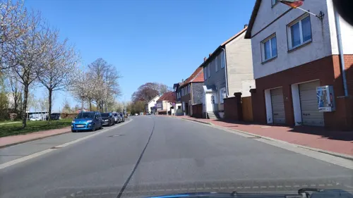
Gasthof Deutsches Haus
Restaurant · 1.9 km
114 Hauptstraße, Nordstemmen
Mo,We-Sa 17:00-22:00; Tu off; Su 11:00-14:00

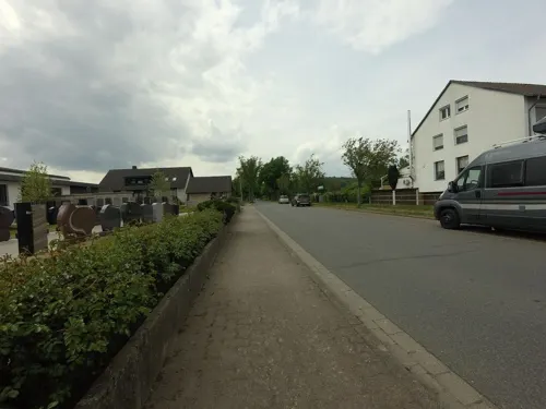
Akropolis
Restaurant · Greek · 2.5 km
2 Am Freibad, Nordstemmen
Tu-Sa 17:00-23:00; Su 11:30-23:00
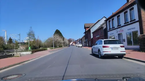
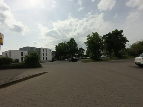
Bäckerei Engelke
Bakery · 2.1 km
Mo-Fr 05:30-17:00; Sa 06:00-13:00; Su 08:00-11:00
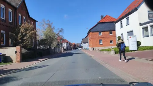


Where to stay3
Churches and places of worship4
Shopping5
Gas and EV charging1
Schools, colleges and libraries2
Healthcare1
Map of Heyersum
35 places. The map loads OpenStreetMap tiles when you open it.
Getting there and nearby towns
Hannover Airport (HAJ) is the nearest airport with scheduled flights listed in OpenStreetMap, 35 km away.
- Nordstemmen 2 km west, about 2 min by car
- Hildesheim 9 km east, about 9 min by car
- Sarstedt 9 km north, about 9 min by car
- Harsum 12 km northeast, about 12 min by car
- Pattensen 12 km north, about 12 min by car
- Laatzen 18 km north, about 18 min by car
- Bad Salzdetfurth 17 km southeast, about 17 min by car
- Salzhemmendorf 18 km southwest, about 18 min by car
- Springe 19 km west, about 19 min by car
- Hemmingen 19 km north, about 19 min by car
Drive times are estimates from straight-line distance, not routes.
Local news
Headlines from INDB.
Reviews, tips and questions
Loading what members have shared...
Sources and licences
- GeoNames (CC BY 4.0): population, coordinates, regions and time zone
- Mapillary (see each image): photos
- OpenStreetMap contributors (ODbL 1.0): places, airports, map data
- Wikidata (CC0 1.0): elevation, founding date, time zone, website
- Wikimedia Commons (see each image): photos
Photo credits
- Zufahrt Saline Heyersum IMG 9836, losch, Attribution
- Suehnesteine Heyersum (1), Lutz Lange ( talk ), CC BY-SA 4.0
- Suehnesteine Heyersum (5), Lutz Lange ( talk ), CC BY-SA 4.0
- Suehnesteine Heyersum (7), Lutz Lange ( talk ), CC BY-SA 4.0
- Suehnesteine Heyersum (6), Lutz Lange ( talk ), CC BY-SA 4.0
- Suehnesteine Heyersum (4), Lutz Lange ( talk ), CC BY-SA 4.0
- Suehnesteine Heyersum (3), Lutz Lange ( talk ), CC BY-SA 4.0
- Suehnesteine Heyersum (2), Lutz Lange ( talk ), CC BY-SA 4.0
- Heyersumer Straße 14, 1, Nordstemmen, Landkreis Hildesheim, GeorgDerReisende, CC BY-SA 4.0
- Mahlerten Kirchturm 0751, Poknuv751, CC BY-SA 4.0
- Kirche Groß Escherde IMG 9813, losch, Attribution
- Conradi-Turm, EkkehardDomning, CC BY-SA 4.0
- Radweg und Hildesheimer Str.-B1 - geo.hlipp.de - 19831, Gregory Smith on geo.hlipp.de, CC BY-SA 2.0
- Apadravya2, Sidewinder2000, CC BY-SA 4.0
- Apadravya3, Sidewinder2000, CC BY-SA 4.0
- Bahnhof, 5, Nordstemmen, Landkreis Hildesheim, GeorgDerReisende, CC BY-SA 4.0
- Bücherschrank, 1, Nordstemmen, Landkreis Hildesheim, GeorgDerReisende, CC BY-SA 4.0
- Bushaltestelle Bahnhof, 1, Nordstemmen, Landkreis Hildesheim, GeorgDerReisende, CC BY-SA 4.0
- Bahnhof, 22, Nordstemmen, Landkreis Hildesheim, GeorgDerReisende, CC BY-SA 4.0
- Street-level photo, hotteliene, CC BY-SA 4.0
- Street-level photo, Friesmaker, CC BY-SA 4.0
- Street-level photo, hotteliene, CC BY-SA 4.0
- Street-level photo, hotteliene, CC BY-SA 4.0
- Street-level photo, ankeric, CC BY-SA 4.0
- Street-level photo, Langfahrer, CC BY-SA 4.0
- Street-level photo, hotteliene, CC BY-SA 4.0
- Street-level photo, hotteliene, CC BY-SA 4.0
- Street-level photo, ankeric, CC BY-SA 4.0
- Street-level photo, hotteliene, CC BY-SA 4.0
- Street-level photo, Langfahrer, CC BY-SA 4.0
- Street-level photo, hotteliene, CC BY-SA 4.0
- Street-level photo, hotteliene, CC BY-SA 4.0
- Street-level photo, ankeric, CC BY-SA 4.0
- Street-level photo, hotteliene, CC BY-SA 4.0
- Street-level photo, hotteliene, CC BY-SA 4.0


Page built November 9, 2026. Spotted a mistake? Tell us or suggest a place.