


Bad Salzdetfurth, Germany
Bad Salzdetfurth is a town of 14,349 people in Lower Saxony, Germany.
Why visit Bad Salzdetfurth
Townapedia lists 65 museums and landmarks, 30 parks and trails, 48 places to eat, 3 places to stay and 47 attractions in and around town.
Highlights include Niehoffs Hofmolkerei, GartenCOP, Dicke Linde and Schloss Söder.
Weather in Bad Salzdetfurth
Forecast from MET Norway (CC BY 4.0). Full forecast
About Bad Salzdetfurth
Bad Salzdetfurth (German pronunciation: [baːt zaltsˈdɛtfʊʁt] ) is a town on the banks of the River Lamme in the district of Hildesheim, in Lower Saxony, Germany.
From the Wikipedia article Bad Salzdetfurth (this version), under CC BY-SA 4.0.
Travel tips from other travellers: Bad Salzdetfurth on Wikivoyage (CC BY-SA 4.0).
Things to do47

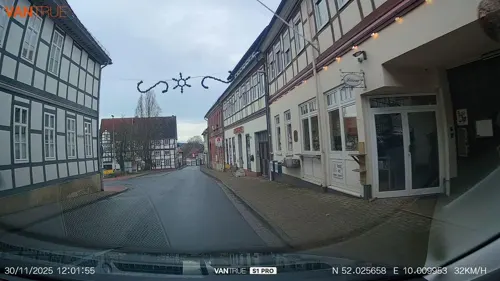
GartenCOP
Farm and orchard · 3.6 km
1 Lamspringer Straße, Bad Salzdetfurth
We-Fr 12:00-18:00; Sa 10:00-14:00




35 more on the map.
Museums and landmarks65


Schloss Bodenburg
Monument and historic site · 3.4 km
15 Teichstraße, Bad Salzdetfurth





Alter Kursaal
Monument and historic site · 0.8 km
1. Kursaal: 1868-1923 (abgebrannt); 2. Kursaal: 1926-1984 (ebenfalls abgebrannt)
Epitaphe Gutspark
Monument and historic site · 3.3 km
Grablege der einstigen Schlossherren, historische Grabplatten der Gräber im Rondell der Seeeinbuchtung.
53 more on the map.
Parks, trails and playgrounds30






18 more on the map.
Restaurants and cafes48
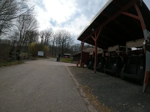
PM Genusswerkstatt im Golfclub Bad Salzdetfurth
Restaurant · Regional · 3.3 km
Restaurant, Biergarten, Kochschule, Eventlocation, Catering, Seminarraum, Weinhandel
1 Dr.-Jochen-Schneider-Weg, Bad Salzdetfurth
Mo off; Tu-Su 11:00+

Landhaus "Am Sonnenberg"
Restaurant · German, Bavarian · 4.0 km
1 Sonnenberg, Diekholzen
Mo-Su 12:00-21:00
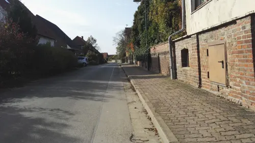
Landhotel Lechstedter Obstweinschänke
Restaurant · Regional · 6.7 km
7 Ringstraße, Bad Salzdetfurth
We-Fr 12:00-14:00,17:00-21:00; Sa,Su 12:00-21:00; Mo,Tu off
Restaurant Am Weinberg
Restaurant · Regional, Steak House, Cake, Burger, Fish, Pasta, Salad · 5.5 km
94b Am Weinberg, Bockenem
We-Su 11:30+
Söhrer Forsthaus
Restaurant · German · 4.9 km
13 Forststraße, Diekholzen
Mo-Tu off; We-Fr 15:00-22:00; Sa 12:00-22:00; Su 11:30-17:00
Alexandros
Restaurant · Greek · 4.5 km
22 Bahnhofsallee, Bad Salzdetfurth
Mo-Sa 17:00-22:00; Su,PH 11:30-15:00,17:00-22:00
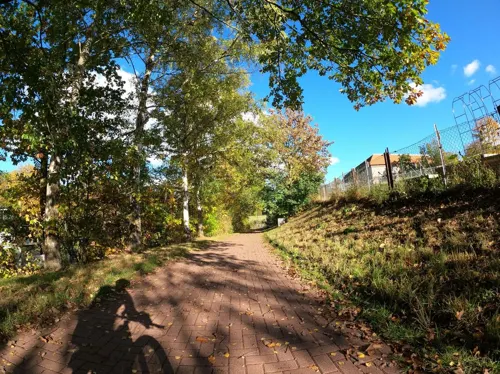
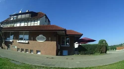
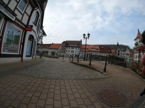
Zur Scharfen Ecke
Restaurant · German · 6.8 km
1 Itzumer Hauptstraße, Hildesheim
Mo-Fr 17:30+; Tu off; We off; Sa,Su 11:30+

Zur Tränke
Bar and pub · 3.5 km
16 Sehlemer Straße, Bad Salzdetfurth
Tu-Fr 17:00+; Sa 10:00+; Su 10:00-12:00,16:00+


36 more on the map.
History
In 1194, Salzdetfurth was mentioned in a document for the first time. The place was devastated by fire or flood several times. The worst flood occurred in 1738 when 176 houses were destroyed. The word "Bad" meaning "spa" was added to the name in 1921.
On 22 March 1945, during a heavy air raid on Hildesheim, Bad Salzderfurth was hit by several bombs and two houses in Goettingstrasse were destroyed.
Bad Salzdetfurth was officially awarded "town" status in 1949.
Each of the villages incorporated in 1974 has its own history and its own traditions.
From the History section of Bad Salzdetfurth on Wikipedia, under CC BY-SA 4.0.
Where to stay3
Churches and places of worship35
Evangelische Kirche Heinde
Church · Lutheran · 5.2 km
8 Am Kirchberg, Bad Salzdetfurth
Shopping14
Gas and EV charging7
Schools, colleges and libraries9
Healthcare5
Map of Bad Salzdetfurth
250 places. The map loads OpenStreetMap tiles when you open it.
Getting there and nearby towns
Forschungsflughafen Braunschweig-Wolfsburg (BWE) is the nearest airport with scheduled flights listed in OpenStreetMap, 48 km away.
- Bockenem 10 km southeast, about 10 min by car
- Hildesheim 11 km north, about 11 min by car
- Harsum 17 km north, about 17 min by car
- Nordstemmen 19 km northwest, about 19 min by car
- Bad Gandersheim 21 km south, about 21 min by car
- Seesen 22 km southeast, about 22 min by car
- Sarstedt 22 km northwest, about 22 min by car
- Langelsheim 26 km southeast, about 26 min by car
- Lengede 26 km northeast, about 26 min by car
- Salzgitter 30 km east, about 30 min by car
Drive times are estimates from straight-line distance, not routes.
Local news
Headlines from INDB.
Reviews, tips and questions
Loading what members have shared...
Sources and licences
- GeoNames (CC BY 4.0): population, coordinates, regions and time zone
- Mapillary (see each image): photos
- OpenStreetMap contributors (ODbL 1.0): places, airports, map data
- Wikidata (CC0 1.0): elevation, founding date, time zone, website, landmarks and historic places
- Wikimedia Commons (see each image): photos
- Wikipedia (CC BY-SA 4.0): overview and history text
Photo credits
- Bad Salzdetfurth, Elelicht, CC BY-SA 3.0
- Bad Salzdetfurth Tourist-Info, Mey2008, CC BY-SA 3.0
- Bad Salzdetfurth, the Lamme river, Dguendel, CC BY 4.0
- Bad Salzdetfurth, die Lamme, Dguendel, CC BY 4.0
- Lamme Bad Salzdetfurth 02, Clemensfranz, CC BY-SA 4.0
- Lamme Bad Salzdetfurth 01, Clemensfranz, CC BY-SA 4.0
- Oberstraße 15 Bad Salzdetfurth, Clemensfranz, CC BY-SA 4.0
- Oberstraße 16 Bad Salzdetfurth, Clemensfranz, CC BY-SA 4.0
- Oberstraße 126 Bad Salzdetfurth, Clemensfranz, CC BY-SA 4.0
- Oberstraße 17 Bad Salzdetfurth, Clemensfranz, CC BY-SA 4.0
- Oberstraße 18 Bad Salzdetfurth, Clemensfranz, CC BY-SA 4.0
- Oberstraße 125 Bad Salzdetfurth, Clemensfranz, CC BY-SA 4.0
- Oberstraße 124 Bad Salzdetfurth, Clemensfranz, CC BY-SA 4.0
- Oberstraße 19 Bad Salzdetfurth, Clemensfranz, CC BY-SA 4.0
- Bad Salzdetfurth, Häuserzeile in der Oberstraße, Dguendel, CC BY 4.0
- Oberstraße 123 Bad Salzdetfurth, Clemensfranz, CC BY-SA 4.0
- Oberstraße 122 Bad Salzdetfurth, Clemensfranz, CC BY-SA 4.0
- Oberstraße 117 Bad Salzdetfurth, Clemensfranz, CC BY-SA 4.0
- Oberstraße 118 Bad Salzdetfurth, Clemensfranz, CC BY-SA 4.0
- Oberstraße 20 Bad Salzdetfurth, Clemensfranz, CC BY-SA 4.0
- Oberstraße 21 Bad Salzdetfurth, Clemensfranz, CC BY-SA 4.0
- Oberstraße 115 Bad Salzdetfurth, Clemensfranz, CC BY-SA 4.0
- Bad Salzdetfurth Kulturbahnhof, Mey2008, CC BY-SA 3.0
- Bad Salzdetfurth, Figur am Fachwerk, Dguendel, CC BY 4.0
- Oberstraße 27 Bad Salzdetfurth, Clemensfranz, CC BY-SA 4.0
- Bad Salzdetfurth, a row of houses at the Oberstraße, Dguendel, CC BY 4.0
- Bad Salzdetfurth-Im Kulturbahnhof, Mey2008, CC BY-SA 3.0
- Oberstraße 28 Bad Salzdetfurth, Clemensfranz, CC BY-SA 4.0
- Oberstraße 113 Bad Salzdetfurth, Clemensfranz, CC BY-SA 4.0
- Oberstraße 112 Bad Salzdetfurth, Clemensfranz, CC BY-SA 4.0
- Oberstraße 111 Bad Salzdetfurth, Clemensfranz, CC BY-SA 4.0
- Oberstraße 110 Bad Salzdetfurth, Clemensfranz, CC BY-SA 4.0
- Bad Salzdetfurth, Haus Oberstraße 27, Dguendel, CC BY 4.0
- Oberstraße 29 Bad Salzdetfurth, Clemensfranz, CC BY-SA 4.0
- Salzpfännenstraße 23 Bad Salzdetfurth, Clemensfranz, CC BY-SA 4.0
- Salzpfännenstraße 22 Bad Salzdetfurth, Clemensfranz, CC BY-SA 4.0
- Oberstraße 109 Bad Salzdetfurth, Clemensfranz, CC BY-SA 4.0
- Bad Salzdetfurth, Haus Salzpfännerstraße 24, Dguendel, CC BY 4.0
- Bad Salzdetfurth, an der Lamme, Dguendel, CC BY 4.0
- 1000 Kulturwissenschaftler aus der gesamten Bundesrepublik studieren auf dem Kulturcampus Domaene Marienburg der Stiftung Universität Hildesheim. Foto Isa Lange, Universität Hildesheim, Isa Lange, CC BY-SA 3.0
- Wrisbergholzen Teich Baum Sommer, AxelHH, CC BY 3.0
- St.-Cosmas-und-Damian-Kirche (Groß Düngen), Kirchenfan, CC0
- Hildesheim-Marienburg hell, Longbow4u (brightened + cropped by Rabanus Flavus, CC BY-SA 3.0
- Schwarze Heide - Heidelandschaft 4, Ragnar1904, CC BY-SA 3.0
- Naturschutzgebiet Steinberg bei Wesseln (5), Ragnar1904, CC BY-SA 3.0
- Blick über Petze auf FMT Sibbesse (2009), Jochen Teufel, CC BY-SA 3.0
- Heilige-Familie-Kirche (Bad Salzdetfurth), Kirchenfan, CC0
- Soehre Kirche SO, Kirchenfan, CC0
- Denkmalgeschützt Detfurth Kirche St. Gallus ID-34472807, Gmbo 2013, CC0
- Röderhof Kirche, Kirchenfan, CC0
- Steinberg (Tosmar), EkkehardDomning, CC BY-SA 4.0
- Zufahrt Schloss Bodenburg IMG 9127, losch, Attribution
- Kirche von Heinde (Bad Salzdetfurth) IMG 5136, Losch, CC BY-SA 3.0
- Bad Salzdetfurth, die Kirche St.Georg, Dguendel, CC BY 4.0
- St.-Johannes-Kirche (Hockeln), Torbenbrinker, CC BY-SA 3.0
- St.-Johannes-Kirche (Wesseln) 3, Kirchenfan, CC0
- Bodenburg Kirche kath, Kirchenfan, CC0
- SehlemKirche, Torbenbrinker, CC BY-SA 3.0
- SchlossSoeder02, Sir Gawain, CC BY-SA 2.0 de
- Hannoverischer Ganzmeilenstein Soeder (4), Lutz Lange ( talk ), CC BY-SA 4.0
- Dicke Linde, Qwertzy0815, CC BY-SA 3.0
- Bergbau- und Salzmuseum, Bad Salzdetfurth, Gerd Fahrenhorst, CC BY 4.0
- 2019-12-22 101831 Groß Düngen Joseph Müller grave, Tim Rademacher, CC BY-SA 4.0
- Street-level photo, Langfahrer, CC BY-SA 4.0
- Street-level photo, StefanS79, CC BY-SA 4.0
- Street-level photo, aceini, CC BY-SA 4.0
- Street-level photo, Langfahrer, CC BY-SA 4.0
- Street-level photo, live, CC BY-SA 4.0
- Street-level photo, Langfahrer, CC BY-SA 4.0
- Street-level photo, ramap, CC BY-SA 4.0
- Street-level photo, agranizo, CC BY-SA 4.0
- Street-level photo, ramap, CC BY-SA 4.0
- Street-level photo, aceini, CC BY-SA 4.0
- Street-level photo, aceini, CC BY-SA 4.0
- Street-level photo, aceini, CC BY-SA 4.0
- Street-level photo, Langfahrer, CC BY-SA 4.0
- Street-level photo, aceini, CC BY-SA 4.0
- Street-level photo, Langfahrer, CC BY-SA 4.0
- Street-level photo, Langfahrer, CC BY-SA 4.0
- Street-level photo, aceini, CC BY-SA 4.0
- Street-level photo, Langfahrer, CC BY-SA 4.0
- Street-level photo, Langfahrer, CC BY-SA 4.0
- Street-level photo, StefanS79, CC BY-SA 4.0
- Street-level photo, StefanS79, CC BY-SA 4.0
- Street-level photo, cgx, CC BY-SA 4.0
- Street-level photo, Langfahrer, CC BY-SA 4.0
- Street-level photo, cgx, CC BY-SA 4.0
- Street-level photo, ramap, CC BY-SA 4.0
- Street-level photo, Langfahrer, CC BY-SA 4.0
- Street-level photo, agranizo, CC BY-SA 4.0


Page built November 8, 2026. Spotted a mistake? Tell us or suggest a place.