


Why visit Rösrath
Townapedia lists 72 museums and landmarks, 42 parks and trails, 102 places to eat, 18 places to stay and 33 attractions in and around town.
Highlights include Bauernlädchen Schiefelbusch, Bauernlädchen Schiefelbusch, Forsbacher Mühle and Augustinushaus.
Weather in Rösrath
Forecast from MET Norway (CC BY 4.0). Full forecast
About Rösrath
Rösrath (German pronunciation: [ˈʁøːsʁaːt] ; Kölsch: Röhsroth [ˈʁœ́sʁɔt]) is a town in the Rheinisch-Bergischer Kreis (district) in North Rhine-Westphalia, Germany. The earliest known documents mentioning the settlement Rösrath can be found in documents dated to 1356. There have been findings of Paleolithic and Mesolithic tools in the town area Forsbach. The community was elevated to the town status in 2001.
From the Wikipedia article Rösrath (this version), under CC BY-SA 4.0.
Things to do33
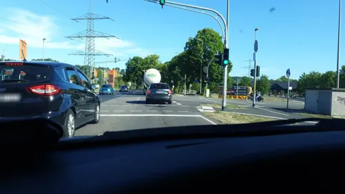
Bauernlädchen Schiefelbusch
Farm and orchard · 2.6 km
Hofladen Bauerngut Schiefelbusch
1 Sülzaue, Lohmar
Tu-Fr 08:30-19:00, Sa 08:30-14:00; PH off

Bauernlädchen Schiefelbusch
Farm and orchard · 3.3 km
3 Schiefelbusch, Lohmar
Th-Fr 08:30-18:30, Sa 08:30-17:00, Su 13:00-18:00; PH 13:00-18:00



Biohof Stöcker
Farm and orchard · 2.2 km
Der Hofladen ist geschlossen
Fußheide

21 more on the map.
Museums and landmarks72



Förderturm Franziskaschacht
Monument and historic site · 3.7 km
Technical_monument
Schloss Eulenbroich
Monument and historic site
15 Zum Eulenbroicher Auel, Rösrath


Schloss Auel mit Schlosskapelle "Sankt Johannes Nepomuk" .
Monument and historic site · 5.5 km

Burg Schönrath
Monument and historic site · 2.4 km
1 Burg Schönrath, Lohmar


60 more on the map.
Parks, trails and playgrounds42




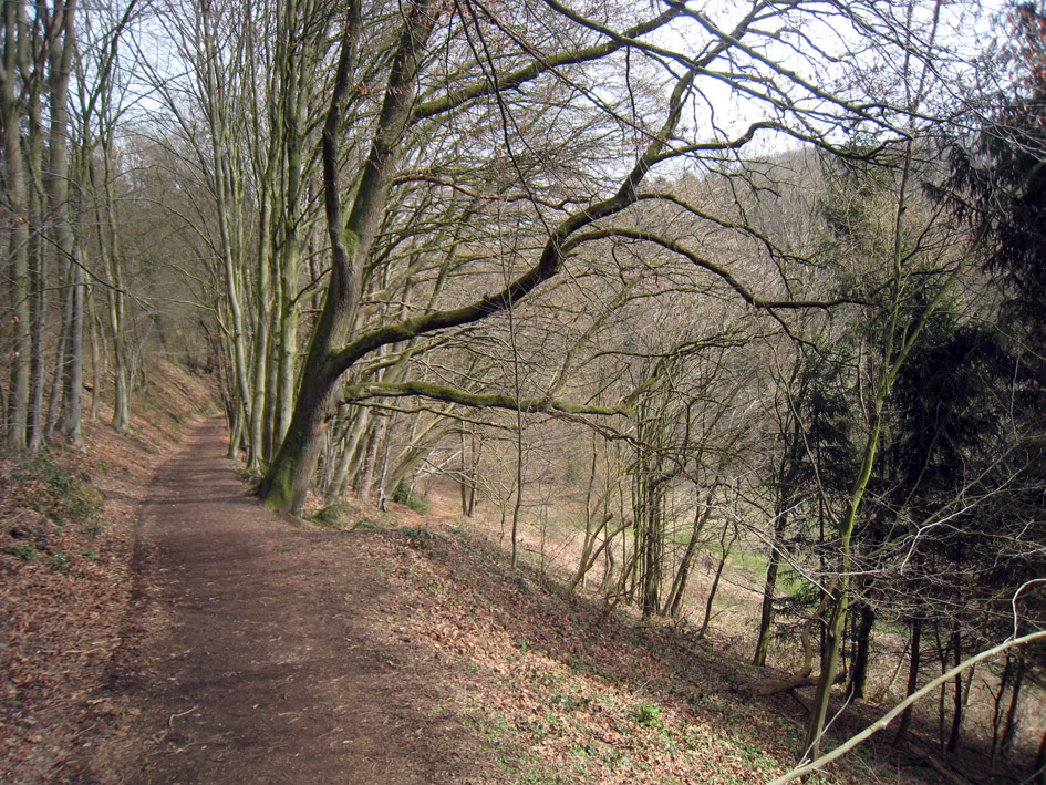



30 more on the map.
Restaurants and cafes102
Fachwerk Hoffnungsthal
Restaurant · International, Local, Tapas · 2.3 km
215 Hauptstraße, Rösrath
Mo-Su 17:00-22:00

Touch down
Restaurant · American, Steak House, Mexican · 3.4 km
4 Bach
Mo-Th 15:00-23:30, Fr 15:00-02:00, Sa 14:00-02:00, Su 11:00-23:00
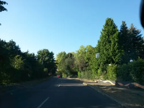
Altvolberger Hof
Restaurant · German · 2.2 km
151 Bensberger Straße, Rösrath
Tu-Fr 16:00-24:00; Sa 12:00-24:00; Su 10:30-24:00
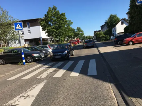
Athena‘s
Restaurant · Pizza
38 Scharrenbroicher Straße, Rösrath
Mo, We-Fr 16:00-21:45; Sa, Su 14:00-21:45; Tu off
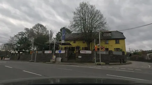

Kölsch-Eck
Restaurant · German · 4.3 km
45 Flughafenstraße, Troisdorf
Tu-Fr 16:00+; Sa-Su 11:00+; Mo off
Landgasthof Zum Häuschen
Restaurant · Regional · 2.0 km
141 Schönrather Straße, Rösrath
Mo-We,Fr 17:00+; Sa-Su 12:00+


90 more on the map.
Where to stay18
Churches and places of worship21
Shopping22
Gas and EV charging14
Schools, colleges and libraries14
Stadtbücherei Rösrath, Zweigstelle Forsbach
Library · 3.1 km
10 Kirchweg, Rösrath
Freiherr-vom-Stein Schulzentrum
School · 0.9 km
15 Freiherr-vom-Stein-Straße, Rösrath
Healthcare7
Map of Rösrath
250 places. The map loads OpenStreetMap tiles when you open it.
Getting there and nearby towns
Cologne Bonn Airport (CGN) is the nearest airport with scheduled flights listed in OpenStreetMap, 4 km away.
- Troisdorf 10 km south, about 10 min by car
- Zündorf 10 km west, about 10 min by car
- Bergisch Gladbach 11 km north, about 11 min by car
- Siegburg 11 km south, about 11 min by car
- Sankt Augustin 13 km south, about 13 min by car
- Köln 17 km west, about 17 min by car
- Wesseling 16 km southwest, about 16 min by car
- Bonn 19 km south, about 19 min by car
- Leverkusen 20 km northwest, about 20 min by car
- Ruppichteroth 22 km east, about 22 min by car
Drive times are estimates from straight-line distance, not routes.
Local news
Headlines from INDB.
Reviews, tips and questions
Loading what members have shared...
Sources and licences
- GeoNames (CC BY 4.0): population, coordinates, regions and time zone
- Mapillary (see each image): photos
- OpenStreetMap contributors (ODbL 1.0): places, airports, map data
- Wikidata (CC0 1.0): elevation, founding date, time zone, website, landmarks and historic places
- Wikimedia Commons (see each image): photos
- Wikipedia (CC BY-SA 4.0): overview and history text
Photo credits
- Panorama Rösrath bis Köln (cropped), Franz Gerd Frank, CC BY-SA 4.0
- Rösrath Germany Hauptstrasse-with-Church-seen-from-Sülztalplatz-01, CEphoto, Uwe Aranas, CC BY-SA 3.0
- Roesrath Schloss Eulenbroich Herrenhaus 2004, De Caesius ( Benutzer:Caesius ), CC BY-SA 3.0
- Bunker Hoffnungsthal Eingang, De Caesius, CC BY-SA 3.0
- Burg Schönrath (Lohmar) (2), Chris06, CC BY-SA 4.0
- Koenigsforstmontetroodeloehrp, Travus, CC BY-SA 3.0
- Aufbereitung Lüderich 1897, Wilhelm Scheiner, Public domain
- St Servatius Hoffnungsthal 2, De Caesius ( De Caesius ), CC BY-SA 4.0
- Evangelische Kirche Volberg (Hoffnungsthal)1, Chris06, CC0
- Honrath2007, Bodes, Public domain
- Heilige Familie Roesrath Kleineichen, De Caesius ( De Caesius ), CC BY-SA 4.0
- Haus Sülz, Dieter Clasen (user Majortom7 at de.wikipedia ), CC BY-SA 2.0 de
- Rösrath Denkmal-23 Haus-Venauen-07, CEphoto, Uwe Aranas, CC BY-SA 3.0
- Heilig-Geist-Kirche, Rösrath-Forsbach-8007, Raimond Spekking, CC BY-SA 4.0
- Kapelle Hellenthal, De Caesius ( De Caesius ), CC BY-SA 4.0
- Panorama vom Schloss Auel am 29. April 2015, HermannWenzel, CC BY-SA 4.0
- Rösrath Germany St-Nikolaus-von-Tolentino-68, CEphoto, Uwe Aranas, CC BY-SA 3.0
- Versoehnungskirche Roesrath, De Caesius ( De Caesius ), CC BY-SA 4.0
- Rösrath-Denkmal-92 Hauptstrasse-104 Turbinenanlage, CEphoto, Uwe Aranas, CC BY-SA 3.0
- Naturschutzgebiet Köln Königsforst (1), Mario Bezani, CC BY-SA 3.0
- Mergelsberp, Drelm ( talk ), CC BY-SA 3.0
- Franziskaschacht, Pingsjong, GFDL
- Kupfersiefer Mühle (Rösrath) (1b), Chris06, CC BY-SA 4.0
- Am Herfeldmoor Wahner Heide, Dirk df, CC BY-SA 4.0
- Sturmgeschädigter Baum - Naturschutzgebiet Wahner Heide, "Nordschneise"; Deutschland, NRW, Volker Dreyer, CC BY-SA 4.0
- Totholz in der Wahner Heide, Reuleke, CC BY-SA 4.0
- Franziskana-luderp, Travus, CC BY-SA 3.0
- Overath Denkmal-26 Förderturm-Grube-Lüderich, CEphoto, Uwe Aranas, CC BY-SA 3.0
- NSG Aggeraue-31.07.12-1, Ökologix, CC BY-SA 3.0
- Wahner Heide 2, Olbertz, CC BY-SA 3.0
- Lüderich 1892, Unknown author Unknown author, Public domain
- Rösrath Denkmal-23 Haus-Venauen-05, CEphoto, Uwe Aranas, CC BY-SA 3.0
- Vorburg Schönrath, Dieter Clasen (user Majortom7 at de.wikipedia ), CC BY-SA 2.0 de
- Schloss Auel Teich, Dieter Clasen (user Majortom7 at de.wikipedia ), CC BY-SA 2.0 de
- St Servatius Hoffnungsthal 3, De Caesius ( De Caesius ), CC BY-SA 4.0
- Evangelische Kirche Volberg (Hoffnungsthal) (02), Chris06, CC BY-SA 4.0
- Kreuzkirche-Roesrath-Kleineichen, De Caesius ( De Caesius ), CC BY-SA 4.0
- Evangelische Kirche (Honrath) (08), Chris06, CC BY-SA 4.0
- Rösrath 1800, Dieter Clasen (Repro) (user Majortom7 at de.wikipedia ), Public domain
- Kettners Weiher, Rennboot, CC BY-SA 3.0 de
- NSG Krumbach.2, Pingsjong, GFDL
- NSG Immetsiefen, Pingsjong, GFDL
- NSG Kupfersiefer Bachtal, Pingsjong, GFDL
- Street-level photo, rab, CC BY-SA 4.0
- Street-level photo, marians, CC BY-SA 4.0
- Street-level photo, uwekoch, CC BY-SA 4.0
- Street-level photo, marians, CC BY-SA 4.0
- Street-level photo, Hightower-, CC BY-SA 4.0
- Street-level photo, maxd, CC BY-SA 4.0
- Street-level photo, uwekoch, CC BY-SA 4.0
- Street-level photo, poldy, CC BY-SA 4.0
- Street-level photo, rab, CC BY-SA 4.0
- Street-level photo, rab, CC BY-SA 4.0
- Street-level photo, uwekoch, CC BY-SA 4.0
- Street-level photo, uwekoch, CC BY-SA 4.0
- Street-level photo, wolf404, CC BY-SA 4.0
- Street-level photo, uwekoch, CC BY-SA 4.0
- Street-level photo, uwekoch, CC BY-SA 4.0
- Street-level photo, marians, CC BY-SA 4.0
- Street-level photo, uwekoch, CC BY-SA 4.0
- Street-level photo, Hightower-, CC BY-SA 4.0
- Street-level photo, maxd, CC BY-SA 4.0
- Street-level photo, maxd, CC BY-SA 4.0
- Street-level photo, poldy, CC BY-SA 4.0
- Street-level photo, uwekoch, CC BY-SA 4.0
- Street-level photo, ifjj1ref, CC BY-SA 4.0
- Street-level photo, VIA_DT, CC BY-SA 4.0
- Street-level photo, VIA_DT, CC BY-SA 4.0
- Street-level photo, ifjj1ref, CC BY-SA 4.0
- Street-level photo, rab, CC BY-SA 4.0
- Street-level photo, marians, CC BY-SA 4.0
- Street-level photo, rab, CC BY-SA 4.0
- Street-level photo, uwekoch, CC BY-SA 4.0
- Street-level photo, VIA_DT, CC BY-SA 4.0


Page built November 8, 2026. Spotted a mistake? Tell us or suggest a place.