


Landau an der Isar, Germany
Landau an der Isar is a town of 14,801 people in Bavaria, Germany.
Why visit Landau an der Isar
Townapedia lists 19 museums and landmarks, 14 parks and trails, 69 places to eat, 6 places to stay and 7 attractions in and around town.
Highlights include Sagstetters Gemüseladen, Biohof Laurer, Kastenhof Landau - The museum für Stone Age and present and Heimatmuseum.
Weather in Landau an der Isar
Forecast from MET Norway (CC BY 4.0). Full forecast
About Landau an der Isar
Landau an der Isar (German pronunciation: [ˈlandaʊ ʔan deːɐ̯ ˈʔiːzaʁ] , lit. 'Landau on the Isar'; Central Bavarian: Landa an da Isar) is the second-largest town in the Lower Bavarian district, or Landkreis, of Dingolfing-Landau, in the state of Bavaria, Germany. It lies on the river Isar, 120 km downstream from Munich. In 2020, its population was around 14,000.
From the Wikipedia article Landau an der Isar (this version), under CC BY-SA 4.0.
Things to do7

Sagstetters Gemüseladen
Farm and orchard · 7.1 km
41 Mittlere Bachstraße, Wallersdorf
Mo-Fr 08:00-12:00,13:30-18:00; Sa 08:00-12:00
Walter Löw
Farm and orchard · 4.8 km
9 Oberes Dorf, Pilsting
Mo-Fr 08:00-18:00; Sa 08:00-13:00

Museums and landmarks19

Kastenhof Landau - The museum für Stone Age and present
Museum
Modernes Themenmuseum zur Jungsteinzeit und deren Auswirkungen auf unser heutiges Leben. Im Zentrum der Ausstellung steht die...
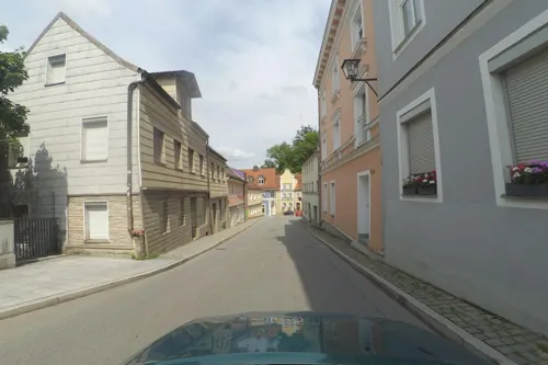
20 Oberer Stadtplatz, Landau an der Isar
We-Su 10:00-13:00, 14:00-17:00


7 more on the map.
Parks, trails and playgrounds14

Golfpark Landau
Golf course · 3.5 km
9 hole Par 35 + 3 hole public course Par 9
2 Rappach, Landau an der Isar




2 more on the map.
Restaurants and cafes69
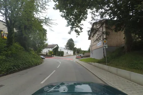
Landgasthof Apfelbeck
Restaurant · German · 6.6 km
2 Hochgarten, Mamming
Tu-Sa 17:00+; Su,PH 11:00+; Mo off

Gasthaus Alte Mühle
Restaurant · German · 7.3 km
22 Gottfriedinger Straße, Mamming
Mo,Tu,Th-Su,PH 10:00+; We off
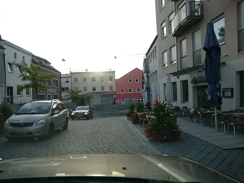
Il Camino
Restaurant · Italian
1 Hauptstraße, Landau an der Isar
Mo-Fr 11:00-14:00,17:30-22:00; Sa 12:00-22:00; Su 17:00-21:00
Il Villaggio
Restaurant · Italian, Pizza, Salad, Pasta, Suppe · 6.7 km
10 Bubachstraße, Mamming
Tu-Fr 17:00-21:30; Sa,Su,PH 11:00-14:00,17:00-21:30; Mo off
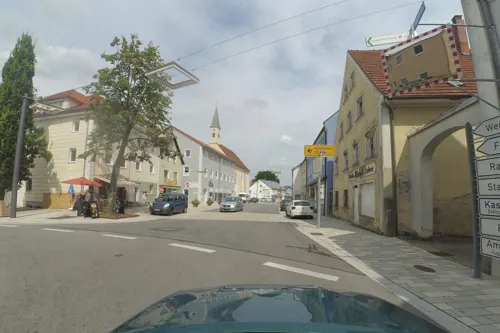
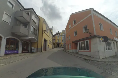

Pilstinger Hof
Restaurant · Regional · 4.4 km
7, 7a Marktplatz, Pilsting
Mo-Sa 10:00-23:00; Tu off; Su 09:00-22:00
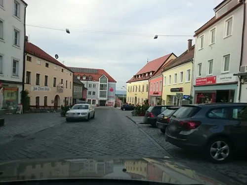
Pizza Haus
Restaurant · Burger, Italian, Pizza, Pasta
8 Oberer Stadtplatz, Landau an der Isar
11:00-13:45,17:00-22:15; Fr,Sa 11:00-13:45,17:00-22:30
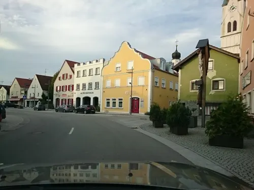
Restaurant El Greco
Restaurant · Greek · 4.3 km
2 Marktplatz, Pilsting
We-Su 11:00-14:00,17:00-22:00; Mo-Tu off
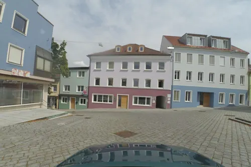


Bäckerei & Konditorei Heidobler
Bakery · 7.0 km
3 Gottfriedinger Straße, Mamming
Mo,We,Sa 06:00-12:00; Tu,Th,Fr 06:00-12:00,14:00-18:00; Su,PH off

Bäckerei Café
Cafe · 2.0 km
100 Straubinger Straße, Landau an der Isar
Mo-Fr 06:00-15:00; Sa 06:00-12:00
57 more on the map.
History
Landau was founded in 1224 by the Wittelsbach Ludwig I, Duke of Bavaria. The town had been a Pflegamt for many years and belonged to the Landshut Rentamt of the Electorate-Principality (Kurfürstentum) of Bavaria. Landau possessed a town court with broad magisterial powers (Landgericht).
Until the Bavarian county reform, or Kreisreform in German, in 1972, Landau was the district seat (Kreisstadt) of its own Landkreis, having the license plate code LAN. In the reform, the former townships of Frammering, Mettenhausen, Reichersdorf and Zeholfing, along with parts of the townships of Kammern and Ganacker, were merged with the town of Landau. The incorporation of the townships of Nieder- and Oberhöcking followed in 1978.
From the History section of Landau an der Isar on Wikipedia, under CC BY-SA 4.0.
Where to stay6
Churches and places of worship41
St. Stephanus
Church · Roman Catholic · 7.5 km
15 Hauptstraße, Simbach
Spitalkirche
Church · Roman Catholic
7 Spitalplatz, Landau an der Isar
St. Laurentius
Church · Roman Catholic · 7.4 km
6 Pfarrer-Moser-Platz, Wallersdorf
St. Leonhard
Church · Roman Catholic · 4.8 km
11 Landauer Straße, Pilsting
Shopping19
Gas and EV charging9
Schools, colleges and libraries12
Healthcare8
Map of Landau an der Isar
204 places. The map loads OpenStreetMap tiles when you open it.
Getting there and nearby towns
Flugplatz Straubing-Wallmühle (RBM) is the nearest airport with scheduled flights listed in OpenStreetMap, 29 km away.
- Plattling 18 km northeast, about 18 min by car
- Straubing 25 km north, about 25 min by car
- Osterhofen 24 km east, about 24 min by car
- Pfarrkirchen 32 km southeast, about 32 min by car
- Vilsbiburg 35 km southwest, about 35 min by car
- Regen 46 km northeast, about 46 min by car
- Neutraubling 50 km northwest, about 50 min by car
- Passau 56 km east, about 56 min by car
- Waldkraiburg 56 km southwest, about 56 min by car
- Regensburg 58 km northwest, about 58 min by car
Drive times are estimates from straight-line distance, not routes.
Local news
Headlines from INDB.
Reviews, tips and questions
Loading what members have shared...
Sources and licences
- GeoNames (CC BY 4.0): population, coordinates, regions and time zone
- Mapillary (see each image): photos
- OpenStreetMap contributors (ODbL 1.0): places, airports, map data
- Wikidata (CC0 1.0): elevation, founding date, time zone, website
- Wikimedia Commons (see each image): photos
- Wikipedia (CC BY-SA 4.0): overview and history text
Photo credits
- Stadtpfarrkirche Landau-2, Konrad Lackerbeck, CC BY 3.0
- Landau an der Isar Luftbild, SimonWaldherr, CC BY-SA 4.0
- Eingang des Steinzeitmuseum Landau a.d.Isar von Süden, 2020, Kastenhof Landau, CC BY-SA 4.0
- Pfarrkirche Mamming, Konrad Lackerbeck, CC BY 3.0
- Spitalplatz 7 (Landau an der Isar), Gliwi, CC BY-SA 4.0
- St. Petrus Bubach, Konrad Lackerbeck, CC0
- Pilsting-Ganacker-Kirche-Sankt-Leonhard, Elcom.stadler, CC0
- Pilsting-Waibling-Sankt-Stephanus, Elcom.stadler, CC0
- Wallersdorf-Haidlfing-Kirche-Sankt-Laurentius, Elcom.stadler, CC BY-SA 3.0
- Pfarrkirche Pilsting, Unknown author, CC BY 3.0
- Goben, Isarauen, Rosa-Maria Rinkl, CC BY-SA 4.0
- Info, Goben, Rosa-Maria Rinkl, CC BY-SA 4.0
- Marktplatz 7-7a (Pilsting), Gliwi, CC BY-SA 4.0
- St. Sebastian (Wallersdorf) Südansicht, APneunzehn74, CC BY-SA 4.0
- Haunersdorf DGF - St. Stephan - 01, Demidow, CC BY-SA 3.0
- Der Widder bei Usterling befindet sich vorne im Kasten., ArminW, CC BY-SA 4.0
- Ganacker (Pilsting) St. Leonhard 079, GFreihalter, CC BY-SA 4.0
- Moos auf dem Dach, Landau, Deutschland - panoramio, zpunout, CC BY-SA 3.0
- Rathaus Landau 01, H.Helmlechner, CC BY-SA 4.0
- Marienbrunnen Landau 01, H.Helmlechner, CC BY-SA 4.0
- Rathaus Landau 02, H.Helmlechner, CC BY-SA 4.0
- Oberer Stadtplatz Landau 01, H.Helmlechner, CC BY-SA 4.0
- Oberer Stadtplatz Landau 02, H.Helmlechner, CC BY-SA 4.0
- Marienbrunnen Landau 02, H.Helmlechner, CC BY-SA 4.0
- Rathaus Landau 03, H.Helmlechner, CC BY-SA 4.0
- Mariä Himmelfahrt Landau 03, H.Helmlechner, CC BY-SA 4.0
- Landau-Steinfelskirche-Westansicht, Elcom.stadler, CC BY-SA 4.0
- Landau-Steinfelskirche-von-Osten, Elcom.stadler, CC BY-SA 4.0
- Landau-Steinfelskirche-Turm, Elcom.stadler, CC BY-SA 4.0
- Landau-Steinfelskirche-Ostansicht, Elcom.stadler, CC BY-SA 4.0
- Mariä Himmelfahrt Landau 01, H.Helmlechner, CC BY-SA 4.0
- Landau-Friedhofkirche-Heilig-Kreuz, Elcom.stadler, CC BY-SA 4.0
- Landau Stadt Panorama, SimonWaldherr, CC BY-SA 4.0
- Bockerlbrücke 16 02 06, Gomera-b, CC BY-SA 4.0
- Bockerlbrücke 16 01 28, Gomera-b, CC BY-SA 4.0
- Bockerlbrücke 20180908 stitch, Gomera-b, CC BY-SA 4.0
- Bockerlbrücke 16 01 25, Gomera-b, CC BY-SA 4.0
- Landau Isar Bockerlbruecke, SimonWaldherr, CC BY-SA 4.0
- Bockerlbrücke 15 57 22, Gomera-b, CC BY-SA 4.0
- Bockerlbrücke 15 59 17, Gomera-b, CC BY-SA 4.0
- Street-level photo, wegatest, CC BY-SA 4.0
- Street-level photo, voschix, CC BY-SA 4.0
- Street-level photo, voschix, CC BY-SA 4.0
- Street-level photo, wegatest, CC BY-SA 4.0
- Street-level photo, wegatest, CC BY-SA 4.0
- Street-level photo, voschix, CC BY-SA 4.0
- Street-level photo, voschix, CC BY-SA 4.0
- Street-level photo, wegatest, CC BY-SA 4.0
- Street-level photo, wegatest, CC BY-SA 4.0
- Street-level photo, wegatest, CC BY-SA 4.0
- Street-level photo, wegatest, CC BY-SA 4.0
- Street-level photo, wegatest, CC BY-SA 4.0
- Street-level photo, wegatest, CC BY-SA 4.0
- Street-level photo, voschix, CC BY-SA 4.0
- Street-level photo, voschix, CC BY-SA 4.0
- Street-level photo, soulcover, CC BY-SA 4.0
- Street-level photo, wegatest, CC BY-SA 4.0
- Street-level photo, wegatest, CC BY-SA 4.0
- Street-level photo, voschix, CC BY-SA 4.0
- Street-level photo, wegatest, CC BY-SA 4.0
- Street-level photo, wegatest, CC BY-SA 4.0
- Street-level photo, voschix, CC BY-SA 4.0
- Street-level photo, voschix, CC BY-SA 4.0
- Street-level photo, voschix, CC BY-SA 4.0


Page built November 8, 2026. Spotted a mistake? Tell us or suggest a place.