


Why visit Osterhofen
Townapedia lists 17 museums and landmarks, 19 parks and trails, 75 places to eat, 13 places to stay and 8 attractions in and around town.
Highlights include Alte Kirche Pleinting, Obst- und Gemüsevermarktung Künzing eG, Museum Quintana and Benediktinerabtei Niederaltaich.
Weather in Osterhofen
Forecast from MET Norway (CC BY 4.0). Full forecast
About Osterhofen
Osterhofen (German pronunciation: [oːstɐˈhoːfn̩] ) is a town in the district of Deggendorf, in Bavaria, Germany. It is situated on the right bank of the Danube, 16 km south of Deggendorf.
From the Wikipedia article Osterhofen (this version), under CC BY-SA 4.0.
Things to do8


Obst- und Gemüsevermarktung Künzing eG
Farm and orchard · 5.3 km
7 Windgasse, Künzing
Mo-Fr 08:00-12:00; Mo-Fr 13:00-17:00; Sa 09:00-12:00

Museums and landmarks17


Benediktinerabtei Niederaltaich
Monument and historic site · Catholic · 7.4 km


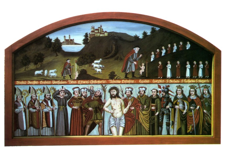
Kloster Osterhofen
Monument and historic site · 1.1 km
Hauptstraße, Osterhofen


Schöpfwerk Aicha
Monument and historic site · 3.5 km
Schöpfwerk außer Betrieb, Gebäude bleibt erhalten (Denkmalschutz) und soll ggf anderweitig genutzt werden (Stand 05/2023)
Schöpfwerk Auterwörth
Monument and historic site · 3.7 km
Erdgeschossiger, symmetrisch aufgefasster Massivbau mit Walmdach, 1952; angrenzende Zulauf- und Ableiteranlagen, gleichzeitig

Schöpfwerk Thundorf
Monument and historic site · 6.5 km
Schöpfwerk außer Betrieb, Gebäude bleibt erhalten (Denkmalschutz) und soll ggf anderweitig genutzt werden (Stand 05/2023)


5 more on the map.
Parks, trails and playgrounds19



Kinderspielplatz Streuobstwiese
Playground · 6.8 km
Mo-Su 08:00-20:00

MBC - Motor-Boot-Club Hofkirchen
Marina and boat launch · 7.4 km


7 more on the map.
Restaurants and cafes75


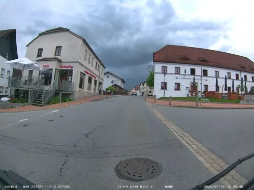
Gasthof zur Post
Restaurant · Greek · 4.8 km
70 Passauer Straße, Winzer
Tu-Th 11:30-14:00,17:00-22:00; Fr 11:30-14:00,17:00-23:00; Sa...
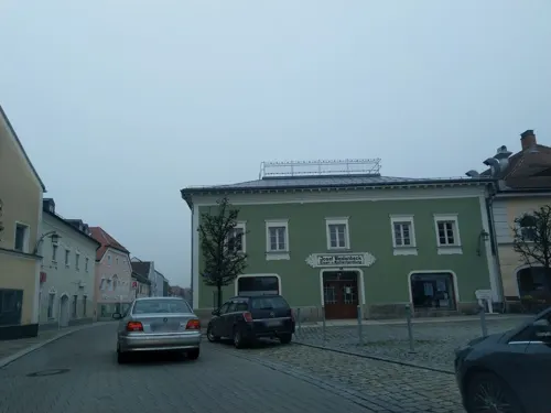

Panorama
Restaurant · Greek, German · 7.8 km
1 Am Sportfeld, Vilshofen an der Donau
Tu-Fr 17:00-00:00; Sa, Su 11:00-14:00, 17:00-00:00
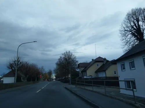
Pizzeria Il Castello
Restaurant · Pizza · 5.4 km
11 Osterhofener Straße
Mo-Tu off; We-Sa 17:30+; Su 11:00-13:00,17:00+
Sultan's Garden
Restaurant · Turkish · 4.7 km
14 Bachstraße
Tu-Fr 10:00-14:00,17:00-21:30; Sa 10:00-22:00; Su 10:00-21:30
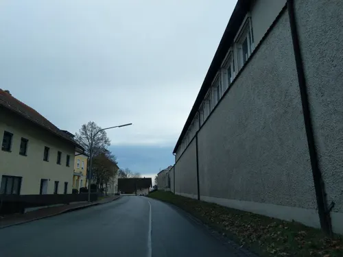
Altenmarkter Hof
Restaurant · 1.0 km
64 Hauptstraße, Osterhofen
Mo,Th-Sa 10:00-01:00, Su,PH 09:00-01:00
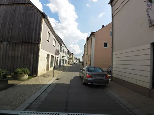


63 more on the map.
Where to stay13
Churches and places of worship31
Asambasilika St. Margaretha
Church · Roman Catholic · 1.1 km
Hauptstraße, Osterhofen
Frauenbergkirche
Church · Roman Catholic · 8.2 km
16 Frauenbergstraße, Hengersberg
St. Thomas
Church · Roman Catholic · 3.7 km
23 Donaustraße, Osterhofen
Shopping24
Gas and EV charging12
Schools, colleges and libraries12
Healthcare6
Rohrberg-Apotheke
Clinic and pharmacy · 8.5 km
3 Deggendorfer Straße, Hengersberg
Map of Osterhofen
217 places. The map loads OpenStreetMap tiles when you open it.
Getting there and nearby towns
Flugplatz Straubing-Wallmühle (RBM) is the nearest airport with scheduled flights listed in OpenStreetMap, 43 km away.
- Plattling 14 km northwest, about 14 min by car
- Pfarrkirchen 30 km south, about 30 min by car
- Regen 31 km north, about 31 min by car
- Passau 34 km southeast, about 34 min by car
- Straubing 39 km northwest, about 39 min by car
- Zwiesel 39 km northeast, about 39 min by car
- Pocking 40 km southeast, about 40 min by car
- Waldkirchen 43 km east, about 43 min by car
- Vilsbiburg 56 km southwest, about 56 min by car
- Regensburg 76 km northwest, about 1 h 15 min by car
Drive times are estimates from straight-line distance, not routes.
Local news
Headlines from INDB.
Reviews, tips and questions
Loading what members have shared...
Sources and licences
- GeoNames (CC BY 4.0): population, coordinates, regions and time zone
- Mapillary (see each image): photos
- OpenStreetMap contributors (ODbL 1.0): places, airports, map data
- Wikidata (CC0 1.0): elevation, founding date, time zone, website
- Wikimedia Commons (see each image): photos
- Wikipedia (CC BY-SA 4.0): overview and history text
Photo credits
- Marktplatz Osterhofen, Bavaria, High Contrast, CC BY-SA 2.0 de
- Frauenkapelle Osterhofen-8790, DKrieger, CC BY-SA 3.0
- Bücherschrank (Osterhofen), APneunzehn74, CC0
- Trinkwasser Spender (Osterhofen Stadtplatz), APneunzehn74, CC0
- Osterhofen im Winter - panoramio, camler, CC BY-SA 3.0
- Defibrillator (AED) Osterhofen, APneunzehn74, CC0
- Trinkwasser Spender (Osterhofen Stadtpark), APneunzehn74, CC0
- Wasserturm Altenmarkt (Osterhofen), Gliwi, CC BY-SA 4.0
- Cosmas Damian Asam, Selbstbildnis auf einem Fresco in St. Margaretha (Altenmarkt-Osterhofen), Dieringer63, CC0
- Niederaltaich Basilika 2, Thomas Guffler, CC BY-SA 3.0
- D-DEG-Winzer1, Szeder László, CC BY-SA 4.0
- Wallfahrtskirche Haardorf, Konrad Lackerbeck, CC BY 3.0
- Die Tote von Niederpöring, Museum Quintana, Photographer: Mosbatho, CC BY 4.0
- Schloss Moos, Konrad Lackerbeck, CC BY 3.0
- Burgruine Dobl Gemaelde, not stated, Public domain
- Kirche Ottmaring, Konrad Lackerbeck, CC BY 3.0
- Rohrberg-Apotheke, Sabrina Blechinger, CC BY-SA 4.0
- Wallfahrtskirche Hengersberg, Konrad Lackerbeck, CC BY 3.0
- Pfarrkirche Künzing, Konrad Lackerbeck, CC BY 3.0
- Kirche in Wallerdorf, High Contrast, CC BY 3.0 de
- Stadtplatz 25 - Osterhofen, High Contrast, CC BY 3.0 de
- Pfarrkirche Aicha an der Donau, Konrad Lackerbeck, CC BY 3.0
- Kirche Obergessenbach, Konrad Lackerbeck, CC BY 3.0
- D-DEG-Winzer3, Szeder László, CC BY-SA 4.0
- Asambasilika Altenmarkt, High Contrast, CC BY-SA 2.0 de
- Gerhard Neumann Museum in Niederalteich, Bayern, High Contrast, CC BY 3.0 de
- Schöpfwerk Aicha (alt), APneunzehn74, CC BY-SA 4.0
- NSG "Donaualtwasser und Staatshaufen", Rosa-Maria Rinkl, CC BY-SA 4.0
- Donaualtwasser Winzerer Letten, Andi1991, CC BY-SA 3.0
- Außenansicht Museum Quintana in Künzing, Aurelius Romanus, CC BY-SA 4.0
- Burgruine Winzer Luftaufnahme (2020), HaSe, CC BY-SA 4.0
- Donauausbau von Straubing bis Hofkirchen; Bereich Winzer (55104591415), BAW_Bundesanstalt für Wasserbau, CC BY 4.0
- Expositurkirche St. Johannes der Täufer, Ottmaring, High Contrast, CC BY 3.0 de
- Asam-Basilika Chor Reliefs Hoffnung am Hochaltar Altenmarkt 203, Jacquesverlaeken, CC BY 4.0
- Asam-Basilika Maria Altar 201, Jacquesverlaeken, CC BY 4.0
- Asam-Basilika Symbolfigur der Hoffnung am Hochaltar 205, Jacquesverlaeken, CC BY 4.0
- Asam-Basilika MariaAltar 202, Jacquesverlaeken, CC BY 4.0
- Asam-Basilika Balcony Lower Bavaria 206, Jacquesverlaeken, CC BY 4.0
- Asam-Basilika Anna Altar sud 204, Jacquesverlaeken, CC BY 4.0
- Aus dem Zug, Daniel Mietchen, CC0
- Tafel mit Inschrift am Schöpfwerk Thundorf (alt), APneunzehn74, CC BY-SA 4.0
- Street-level photo, highwayphotograph, CC BY-SA 4.0
- Street-level photo, soulcover, CC BY-SA 4.0
- Street-level photo, highwayphotograph, CC BY-SA 4.0
- Street-level photo, highwayphotograph, CC BY-SA 4.0
- Street-level photo, highwayphotograph, CC BY-SA 4.0
- Street-level photo, highwayphotograph, CC BY-SA 4.0
- Street-level photo, ramap, CC BY-SA 4.0
- Street-level photo, soulcover, CC BY-SA 4.0
- Street-level photo, highwayphotograph, CC BY-SA 4.0
- Street-level photo, czmrtn, CC BY-SA 4.0
- Street-level photo, soulcover, CC BY-SA 4.0
- Street-level photo, highwayphotograph, CC BY-SA 4.0
- Street-level photo, highwayphotograph, CC BY-SA 4.0
- Street-level photo, highwayphotograph, CC BY-SA 4.0
- Street-level photo, soulcover, CC BY-SA 4.0
- Street-level photo, highwayphotograph, CC BY-SA 4.0
- Street-level photo, highwayphotograph, CC BY-SA 4.0
- Street-level photo, highwayphotograph, CC BY-SA 4.0
- Street-level photo, highwayphotograph, CC BY-SA 4.0
- Street-level photo, czmrtn, CC BY-SA 4.0
- Street-level photo, highwayphotograph, CC BY-SA 4.0
- Street-level photo, highwayphotograph, CC BY-SA 4.0
- Street-level photo, highwayphotograph, CC BY-SA 4.0


Page built November 8, 2026. Spotted a mistake? Tell us or suggest a place.