


Why visit Pfarrkirchen
Townapedia lists 2 museums and landmarks, 3 parks and trails, 28 places to eat, 2 places to stay and 2 attractions in and around town.
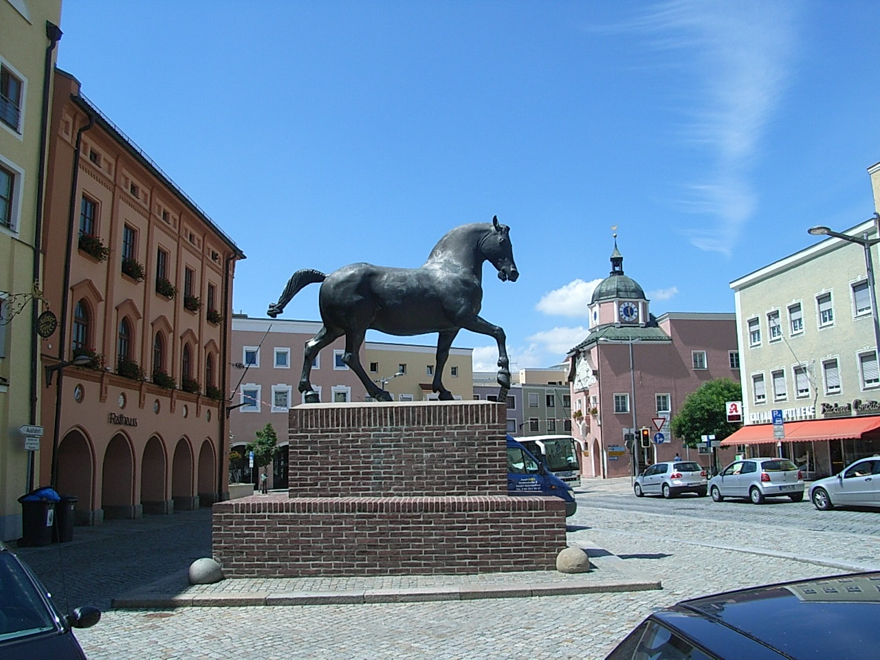
Highlights include Wimmerroß, Altes Rathaus and Ringallee.
Weather in Pfarrkirchen
Forecast from MET Norway (CC BY 4.0). Full forecast
About Pfarrkirchen
Pfarrkirchen (German pronunciation: [pfaʁˈkɪʁçn̩] ) is a municipality in southern Lower Bavaria Germany, the capital of the district Rottal-Inn. It has about 12,500 inhabitants and is an important school centre with about 10,000 pupils from all over Lower Bavaria. The town spreads over an area of about 52 square kilometers and lies approximately 377 meters above sea level. Pfarrkirchen lies at the small river "Rott", which gives the "Rottal" region its name.
From the Wikipedia article Pfarrkirchen (this version), under CC BY-SA 4.0.
Things to do2

Theatron an den Rottauen
Cinema and theater · 0.9 km
Peter-Adam-Straße, Pfarrkirchen

Museums and landmarks2

Wimmerroß
Monument and historic site
Pferdestandbild - Denkmal für das Rottaler Ross
Parks, trails and playgrounds3


Restaurants and cafes28
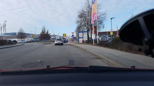
Ristorante Nel Cantuccio
Restaurant · Italian · 1.5 km
6 Franz-Stelzenberger-Straße
Tu-Sa 11:30-14:00,17:30-23:00; Su 11:30-14:00,17:30-21:30
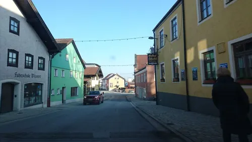
Rottaler Augustiner
Restaurant · Regional
28 Passauer Straße, Pfarrkirchen
Th-Mo 11:00-23:00; Tu,We off
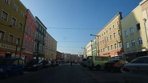

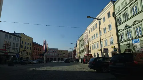

Backstube Wünsche
Bakery · 1.1 km
1 Falkenstraße, Pfarrkirchen
Mo-Sa 07:00-20:00; Su 08:00-11:00; PH off
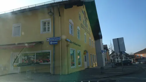
Ristorante Pizzeria Fiume
Restaurant · Pizza, Italian
6 Eggenfeldener Straße, Pfarrkirchen
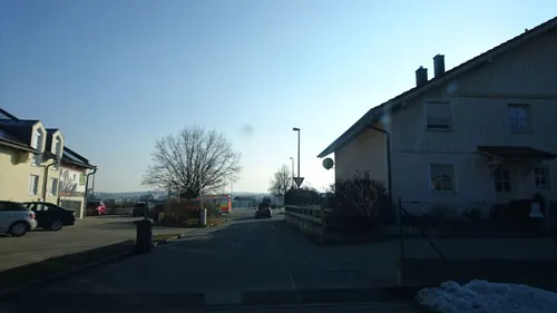
Süße Manufaktur
Cafe · Chocolate, Cake · 0.6 km
9 Neuwiesenweg, Pfarrkirchen
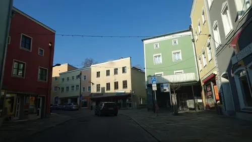
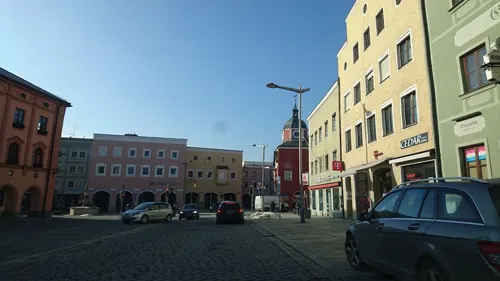


Il2 Cafe Bar Eis
Cafe
Mo-Th 08:00-24:00, Fr 08:00-01:00, Sa 09:00-01:00, Su 09:00-24:00
16 more on the map.
History
The first settlers came to Pfarrkirchen some 7,000 years ago, as excavations in Untergaiching (a small suburb) prove. The first official written document where the name "Pharrachiricha" is mentioned, appeared in between 875 and 899 AD by the Catholic Bishop "Engilmar". The name means "parish church". In 1262 Pfarrkirchen and the nearby "Castle Reichenberg" passed into the possession of the Bavarian dynasty Wittelsbach, who granted the village the right to hold public markets in 1317. Since 1862 Pfarrkirchen can officially call itself a town, and in 1972 it became the capital of the district Rottal-Inn.
From the History section of Pfarrkirchen on Wikipedia, under CC BY-SA 4.0.
Where to stay2
Churches and places of worship10
Königreichssaal der Zeugen Jehovas
Place of worship · Jehovahs Witness · 1.2 km
14 Industriestraße, Pfarrkirchen
Shopping12
Gas and EV charging5
Schools, colleges and libraries10
Staatliche Berufsschule für Landwirtschaft, Hauswirtschaft, Kinderpflege
School · 1.1 km
Healthcare6
Map of Pfarrkirchen
80 places. The map loads OpenStreetMap tiles when you open it.
Getting there and nearby towns
Flugplatz Straubing-Wallmühle (RBM) is the nearest airport with scheduled flights listed in OpenStreetMap, 61 km away.
- Pocking 28 km east, about 28 min by car
- Plattling 39 km north, about 39 min by car
- Vilsbiburg 43 km west, about 43 min by car
- Waldkraiburg 47 km southwest, about 47 min by car
- Straubing 57 km northwest, about 57 min by car
- Traunreut 58 km southwest, about 58 min by car
- Waldkirchen 59 km northeast, about 59 min by car
- Regen 62 km north, about 1 h by car
- Traunstein 66 km south, about 1 h by car
- Wasserburg am Inn 68 km southwest, about 1 h 15 min by car
Drive times are estimates from straight-line distance, not routes.
Local news
Headlines from INDB.
Reviews, tips and questions
Loading what members have shared...
Sources and licences
- GeoNames (CC BY 4.0): population, coordinates, regions and time zone
- Mapillary (see each image): photos
- OpenStreetMap contributors (ODbL 1.0): places, airports, map data
- Wikidata (CC0 1.0): elevation, founding date, time zone, website
- Wikimedia Commons (see each image): photos
- Wikipedia (CC BY-SA 4.0): overview and history text
Photo credits
- Wimmer-Ross II, Konrad Lackerbeck, CC BY 3.0
- Pfarrkirchen, Wallfahrtskirche Gartlberg 001, Mattana, CC BY-SA 3.0
- Wallfahrtskirche Gartlberg Pfarrkirchen 03, H.Helmlechner, CC BY-SA 4.0
- Wallfahrtskirche Gartlberg Pfarrkirchen 01, H.Helmlechner, CC BY-SA 4.0
- Wallfahrtskirche Gartlberg Pfarrkirchen 02, H.Helmlechner, CC BY-SA 4.0
- Wallfahrtskirche Gartlberg Pfarrkirchen 04, H.Helmlechner, CC BY-SA 4.0
- Quartiersmobilstation Pfarrkirchen, Richard Kemmerzehl, CC BY-SA 4.0
- Wimmer-Ross, Konrad Lackerbeck, CC BY 3.0
- Stadtpfarrkirche Pfarrkirchen, Konrad Lackerbeck, CC BY 3.0
- Pfarrkirchen-Christuskirche-evangelisch, Elcom.stadler, CC BY-SA 3.0
- Pfarrkirchen-Denkmal-Wimmer-Ross, Elcom.stadler, CC BY-SA 3.0
- Schloss Reichenberg (Brunnen), luckyprof, CC BY-SA 3.0
- Schloss Reichenberg (Brunnen-1), luckyprof, CC BY-SA 3.0
- Burgstall Reichenberg, luckyprof, CC BY-SA 3.0
- Berggaststätte Reichenberg, luckyprof, CC BY-SA 3.0
- Street-level photo, msdess, CC BY-SA 4.0
- Street-level photo, msdess, CC BY-SA 4.0
- Street-level photo, msdess, CC BY-SA 4.0
- Street-level photo, ramap, CC BY-SA 4.0
- Street-level photo, peppone84, CC BY-SA 4.0
- Street-level photo, peppone84, CC BY-SA 4.0
- Street-level photo, soulcover, CC BY-SA 4.0
- Street-level photo, peppone84, CC BY-SA 4.0
- Street-level photo, msdess, CC BY-SA 4.0
- Street-level photo, msdess, CC BY-SA 4.0
- Street-level photo, msdess, CC BY-SA 4.0
- Street-level photo, msdess, CC BY-SA 4.0
- Street-level photo, peppone84, CC BY-SA 4.0
- Street-level photo, msdess, CC BY-SA 4.0
- Street-level photo, peppone84, CC BY-SA 4.0
- Street-level photo, msdess, CC BY-SA 4.0
- Street-level photo, msdess, CC BY-SA 4.0
- Street-level photo, msdess, CC BY-SA 4.0
- Street-level photo, peppone84, CC BY-SA 4.0
- Street-level photo, msdess, CC BY-SA 4.0
- Street-level photo, msdess, CC BY-SA 4.0
- Street-level photo, msdess, CC BY-SA 4.0


Page built November 8, 2026. Spotted a mistake? Tell us or suggest a place.