


Why visit Laufach
Townapedia lists 33 museums and landmarks, 13 parks and trails, 22 places to eat, 4 places to stay and 26 attractions in and around town.
Highlights include Steinknückl, Bioland-Hof Schreiter, Gräfenberg Castle and Portal des alten Schwarzkopftunnels (Südseite).
Weather in Laufach
Forecast from MET Norway (CC BY 4.0). Full forecast
About Laufach
Laufach (German pronunciation: [ˈlaʊfax]) is a municipality in the Aschaffenburg district in the Regierungsbezirk of Lower Franconia (Unterfranken) in Bavaria, Germany. As of 2023, the population of Laufach was 5,308.
From the Wikipedia article Laufach (this version), under CC BY-SA 4.0.
Things to do26

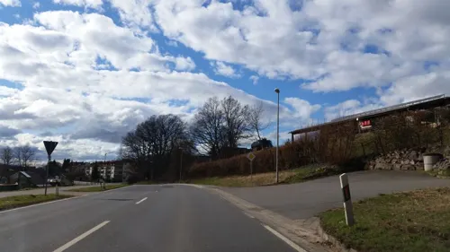
Bioland-Hof Schreiter
Farm and orchard · 2.3 km
1 Wendelstein, Laufach
Mo-Su 07:00-22:00

Hofladen am Lindenberg
Farm and orchard
Obst und Gemüse
Th 10:00-18:00, Fr 19:00-20:00
14 more on the map.
Museums and landmarks33

Gräfenberg Castle
Monument and historic site · 5.2 km
Former castle on Gräfenberg hill near Rottenberg, Germany

Portal des alten Schwarzkopftunnels (Südseite)
Monument and historic site · 3.8 km
Tunnel war in Betrieb von 1854 bis 2017.

Spessartrampe
Monument and historic site · 2.8 km
Ehemalige Eisenbahn Nachschiebestrecke


Lindenhellchen
Monument and historic site · Roman Catholic · 2.1 km
1992 renoviert
Pestkreuz Alter Weg
Monument and historic site · Catholic · 1.4 km
Errichtet 1906
Gedenkstein am Schwarzkopf
Monument and historic site · 3.7 km
Weiße medaillonförmige Steintafel; Neuer Standort seit 2019
21 more on the map.
Parks, trails and playgrounds13


1 more on the map.
Restaurants and cafes22

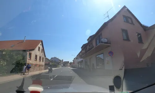
Café Langenstein
Cafe · Coffee Shop, Cake, Ice Cream, Bakery · 0.6 km
23 Hauptstraße
Mo-Tu off; We-Fr 08:00-17:00; Sa 07:00-14:00; Su 08:00-11:00,13:00-17:00
Split
Restaurant · Balkan · 2.1 km
2 Am Mühlfeld, Laufach
Tu-Sa 17:00-22:00; Su,PH 11:00-14:30,17:00-21:00
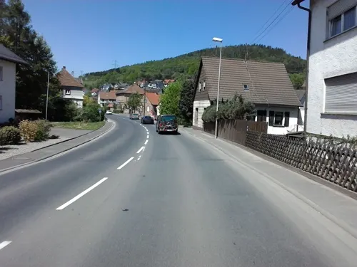

Bäckerei Faust
Bakery
14 Spessartstraße, Laufach
Mo-Fr 06:00-18:00; Sa 06:00-13:00
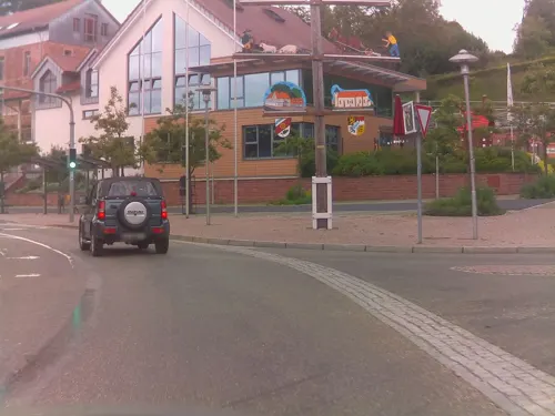
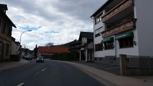
Ristorante Pizzeria Grüner Baum
Restaurant · Regional, Pizza, Italian · 0.6 km
Tu-Sa 17:00-23:00; Su,PH 11:30-14:30,17:00-22:00; Mo off

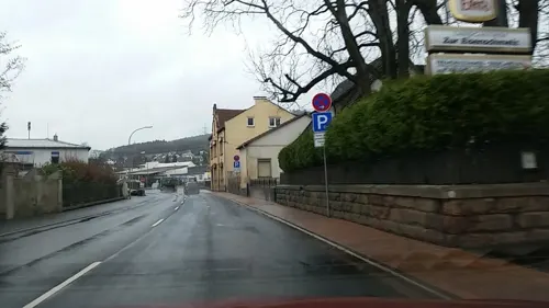


Zur Eisenschmelz
Restaurant · Regional · 0.7 km
18 Hauptstraße, Laufach
We,Fr 10:00-14:00, We 16:00-22:00, Th 16:00-22:00, Su 10:00-14:00;...
Seebachblick
Restaurant · Regional · 1.9 km
Mo,Tu off; We-Sa 17:00-22:00; Su, PH 11:30-22:00
10 more on the map.
History
In 1084, Laufach, which was originally known as Laufahe, had its first documentary mention in an obituary from Saints Peter and Alexander collegiate church in Aschaffenburg. Laufach's name came from the stream on which it was built. Over the years, the municipality's name has changed many times, from Laufache in 1182, to Loifahe in 1191, to Loupha in 1348, to Lauffach around 1528 and 1624 before settling on Laufach in the early 19th century.
The Laufach valley was settled under the protection of the Counts of Rieneck, who already held the Vogtei (position of Vogt) from the Archbishopric of Mainz and the collegiate church in Aschaffenburg. On the Rieneck free court in 1380 – where Schöffen (roughly “lay jurists”) from Laufach were specifically mentioned – settlers sat as free citizens.
In the mid-14th century, glassmakers were brought into service in the Spessart with special incentives. Since they had to leave the forest from Martinmas (11 November) until Easter, they sought winter dwellings in Hain and Laufach. Many of these workers settled here owing to family ties. Already by 1469, there was a mine near the "Weyber" palace (Schloss Weyber, Weyberhöfe). In Unserer lieber Frauen Teil, presumably part of the Liebesgrund, copper was mined. After the Thirty Years' War, ores were mined and smelted.
From the History section of Laufach on Wikipedia, under CC BY-SA 4.0.
Where to stay4
Churches and places of worship7
Shopping6
Gas and EV charging3
Schools, colleges and libraries4
Healthcare2
Map of Laufach
120 places. The map loads OpenStreetMap tiles when you open it.
Getting there and nearby towns
Frankfurt Airport (FRA) is the nearest airport with scheduled flights listed in OpenStreetMap, 54 km away.
- Hösbach 7 km west, about 7 min by car
- Goldbach 8 km west, about 8 min by car
- Aschaffenburg 11 km southwest, about 11 min by car
- Mömbris 11 km northwest, about 11 min by car
- Alzenau in Unterfranken 19 km northwest, about 19 min by car
- Großostheim 19 km southwest, about 19 min by car
- Lohr am Main 20 km east, about 20 min by car
- Gelnhausen 22 km north, about 22 min by car
- Seligenstadt 23 km west, about 23 min by car
- Bad Orb 24 km north, about 24 min by car
Drive times are estimates from straight-line distance, not routes.
Local news
Headlines from INDB.
Reviews, tips and questions
Loading what members have shared...
Sources and licences
- GeoNames (CC BY 4.0): population, coordinates, regions and time zone
- Mapillary (see each image): photos
- OpenStreetMap contributors (ODbL 1.0): places, airports, map data
- Wikidata (CC0 1.0): elevation, founding date, time zone, website, landmarks and historic places
- Wikimedia Commons (see each image): photos
- Wikipedia (CC BY-SA 4.0): overview and history text
Photo credits
- Lindenplatz (Lenne) an Fronleichnam - panoramio, hwhlaufach, CC BY 3.0
- Grund und Hauptschule Laufach - panoramio, hwhlaufach, CC BY 3.0
- Friedhof Laufach, Grabstein des Oberst Schenk, Granpar, CC BY 3.0
- Blick auf Laufach, Kath. Kirche - panoramio, hwhlaufach, CC BY 3.0
- Laufach Brunnen Sainte Eulalie Platz - panoramio, hwhlaufach, CC BY 3.0
- Rettungspunkt in Bayern, Laufach, Woelle ffm, CC BY-SA 3.0
- Laufach, Kreisel B 26, Feuerwehrgerätehaus - panoramio, hwhlaufach, CC BY 3.0
- Erlenbachmündung (Laufach), Freak-Line-Community, CC BY-SA 3.0
- Erlenbach (Laufach), Freak-Line-Community, CC BY-SA 3.0
- Laufach ND05279, KaiBorgeest, CC BY-SA 4.0
- Laufach ND05278 R, KaiBorgeest, CC BY 4.0
- Laufach ND05278, KaiBorgeest, CC BY 4.0
- Grotte in Laufach - panoramio, hwhlaufach, CC BY 3.0
- Laufach ND05278 F, KaiBorgeest, CC BY 4.0
- Gräfenberg Mauer, Freak-Line-Community, CC BY-SA 3.0
- Frohnhofen, Angriff hessisch-darmstädter Truppen auf die Preußen, Otto Fikentscher, Public domain
- Schwarzkopftunnel-Ostportal, Störfix, CC BY-SA 3.0 de
- Schwarzkopftunnel, Presse03 at German Wikipedia, CC BY-SA 3.0
- Laufach-Petruskirche-2, TZPETRA, CC BY-SA 3.0
- Sailauf, St. Vitus 4, Prof. emeritus Hans Schneider (Geyersberg), CC BY-SA 3.0
- Tegut. Zentrale, Fulda 1501, Gerd Fahrenhorst, CC BY 4.0
- IR15 – Gefecht bei Laufach-Frohnhofen, Unknown author Unknown author , not menioned anywhere, Public domain
- Kleiner Kirrbach, Freak-Line-Community, CC BY-SA 3.0
- Kleiner Kirrbach2, Freak-Line-Community, CC BY-SA 3.0
- Lindenplatz (Lenne) an Fronleichnam - panoramio2, hwhlaufach, CC BY 3.0
- Beibuschbach, Freak-Line-Community, CC BY-SA 3.0
- Beibuschbachmündung, Freak-Line-Community, CC BY-SA 3.0
- Bruder Konrad - panoramio (2), hwhlaufach, CC BY 3.0
- 120 125-0 (Flickr 16078080998), BB.12069, CC BY 2.0
- Beibuschbach1, Freak-Line-Community, CC BY-SA 3.0
- Marienhellschen, Spessart7, CC0
- Street-level photo, atze02, CC BY-SA 4.0
- Street-level photo, kreuzschnabel, CC BY-SA 4.0
- Street-level photo, m_groebs, CC BY-SA 4.0
- Street-level photo, mprins, CC BY-SA 4.0
- Street-level photo, atze02, CC BY-SA 4.0
- Street-level photo, it_s_so_funny, CC BY-SA 4.0
- Street-level photo, m_groebs, CC BY-SA 4.0
- Street-level photo, it_s_so_funny, CC BY-SA 4.0
- Street-level photo, it_s_so_funny, CC BY-SA 4.0
- Street-level photo, tian, CC BY-SA 4.0
- Street-level photo, ramap, CC BY-SA 4.0
- Street-level photo, it_s_so_funny, CC BY-SA 4.0
- Street-level photo, m_groebs, CC BY-SA 4.0


Page built November 9, 2026. Spotted a mistake? Tell us or suggest a place.