


Why visit Mendig
Townapedia lists 45 museums and landmarks, 12 parks and trails, 41 places to eat, 8 places to stay and 16 attractions in and around town.
Highlights include Hofladen - Katharinenhof, Schlehenhof - Hofladen, Lava-Dome and Benediktinerabtei Maria Laach.
Weather in Mendig
Forecast from MET Norway (CC BY 4.0). Full forecast
About Mendig
Mendig (German: [ˈmɛndɪç] ) is a small town in the district Mayen-Koblenz, in Rhineland-Palatinate, Germany. It is situated approximately 6 km north-east of Mayen, and 25 km west of Koblenz. Mendig is the seat of the Verbandsgemeinde ("collective municipality") Mendig.
From the Wikipedia article Mendig (this version), under CC BY-SA 4.0.
Photos of Mendig


Things to do16
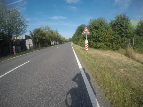
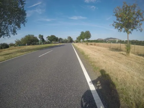
Schlehenhof - Hofladen
Farm and orchard · 3.3 km
1 Schlehenhof, Kruft
Th 08:30-12:00; Fr 08:30-12:00, 15:00-18:00; Sa 08:30-12:00


4 more on the map.
Museums and landmarks45


Katzenberg Hillfort
Monument and historic site · 5.9 km
Archaeological site in Rhineland-Palatinate, Germany



33 more on the map.
Parks, trails and playgrounds12



Vulkanbad Mendig
Sports field and stadium · 1.8 km
Laachgraben, Mendig
Tu-Su 10:00-19:00 "nur bei gutem Wetter"

Ettringer und Mayener Bellberg, Kottenheimer Büden
Hiking and trails · 4.1 km


Restaurants and cafes41
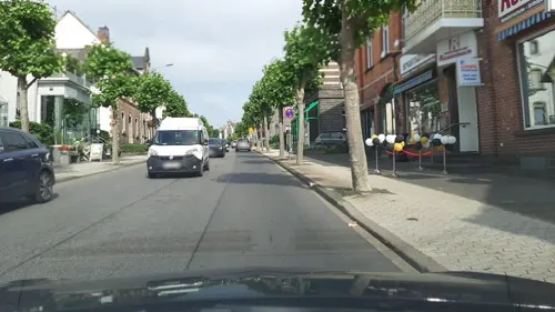
Pizzeria Adriano Vulcano
Restaurant · Noodle, Pizza, Cafe, Ice
64 Bahnstraße, Mendig
Mo-Su 11:30-23:00
Ristaurante Pizzeria Roma
Restaurant · Italian · 4.5 km
21 Bahnhofstraße, Kruft
Tu-Su 11:30-13:30,17:30-21:30; Sa 17:30-21:30
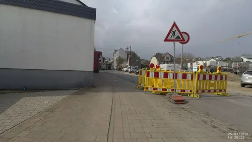
Roy’s Pizzeria
Restaurant · Pizza · 4.5 km
21 Hauptstraße, Ettringen
Su 12:00-21:00; Mo-Fr 11:00-14:30, 17:00-21:30; Sa 12:00-14:30, 17:00-21:30
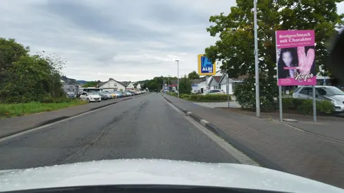
Bäckerei Hoefer
Bakery · 0.6 km
57 Bahnstraße, Mendig
Mo-Fr 07:00-17:30; Su 07:30-17:00; Sa 07:00-16:00
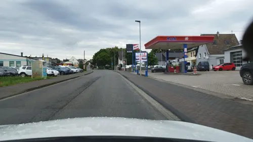
Dolci & Amor Italienische Desserts & Spezialitäten
Cafe · Italian · 0.6 km
55 Bahnstraße, Mendig
Mo off; Tu-Sa 10:00-17:30; Su 12:00-17:30
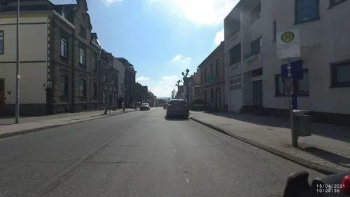
Ulrike's Kulturbackhaus
Bakery · 1.7 km
8 Molkereistraße, Mendig
Mo-Fr 06:00 -18:00; Sa 06:00-12:30; Su 07:30-17:30
Altes Casino
Restaurant · German
66 Bahnstraße, Mendig
Mo off; Tu-Sa 17:00-22:00; Su off
Punjab
Restaurant · Indian
13 Niederstraße, Mendig
Tu-Su 11:00-14:00,17:00-22:00
Ratsstuben
Restaurant · 0.6 km
5 Marktplatz, Mendig
We-Sa 12:00-14:00, We-Sa 17:30-22:00, Su 12:00-15:00, Su 17:30-22:00

29 more on the map.
Where to stay8
Churches and places of worship13
St. Nikolaus
Church · Roman Catholic · 2.7 km
1 Burgstraße, Kottenheim
Shopping9
Gas and EV charging8
Schools, colleges and libraries9
Healthcare3
Map of Mendig
164 places. The map loads OpenStreetMap tiles when you open it.
Getting there and nearby towns
Hahn Airport (HHN) is the nearest airport with scheduled flights listed in OpenStreetMap, 47 km away.
- Mayen 6 km southwest, about 6 min by car
- Ochtendung 7 km east, about 7 min by car
- Polch 8 km south, about 8 min by car
- Plaidt 8 km east, about 8 min by car
- Andernach 11 km northeast, about 11 min by car
- Weißenthurm 13 km northeast, about 13 min by car
- Neuwied 15 km northeast, about 15 min by car
- Mülheim-Kärlich 15 km east, about 15 min by car
- Sinzig 20 km north, about 20 min by car
- Koblenz 21 km east, about 21 min by car
Drive times are estimates from straight-line distance, not routes.
Towns near Mendig


Local news
Headlines from INDB.
Reviews, tips and questions
Loading what members have shared...
Sources and licences
- GeoNames (CC BY 4.0): population, coordinates, regions and time zone
- Mapillary (see each image): photos
- OpenStreetMap contributors (ODbL 1.0): places, airports, map data
- Wikidata (CC0 1.0): elevation, founding date, time zone, website, landmarks and historic places
- Wikimedia Commons (see each image): photos
- Wikipedia (CC BY-SA 4.0): overview and history text
Photo credits
- Mendig, Luftaufnahme (2014), Wolkenkratzer, CC BY-SA 4.0
- Lavakeller Mendig 2010, Holger Weinandt, CC BY-SA 3.0 de
- Lava-Dome Mendig 2010, Holger Weinandt, CC BY-SA 3.0 de
- Wegekreuz, Bahnstr.30, Mendig, BinNeuHier, CC0
- Bahnstr. 30, Mendig, BinNeuHier, CC0
- Bahnhof Mendig 02, Tohma ( talk ), CC BY-SA 4.0
- Bahnhof Mendig 01, Tohma ( talk ), CC BY-SA 4.0
- Bahnhof Mendig, Roughlyspeaking, CC BY-SA 4.0
- Kreuzritter (Niedermendig), Rolf Kranz, CC BY-SA 4.0
- Ev. Kirche Niedermendig, TVBuddha, CC BY-SA 4.0
- Mendig Lava-Dome 2014, Jacquesverlaeken, CC BY-SA 4.0
- Aerial image of the Mendig airfield, Carsten Steger, CC BY-SA 4.0
- Obermendig, Genovevatsjerke, oliifberchgroep, RomkeHoekstra, CC BY-SA 4.0
- Obermendig, Genovevatsjerke, oliifberchgroep, sliepende apostels, RomkeHoekstra, CC BY-SA 4.0
- Obermendig, Genovevatsjerke, oliifberchgroep, Jezus yn deadseangstme, RomkeHoekstra, CC BY-SA 4.0
- Obermendig, Genovevatsjerke, oliifberchgroep, arrestaasje fan Kristus, RomkeHoekstra, CC BY-SA 4.0
- Obermendig, Genovevatsjerke, byld Genoveva fan Parys, RomkeHoekstra, CC BY-SA 4.0
- Obermendig, Genovevatsjerke, preesteralter, RomkeHoekstra, CC BY-SA 4.0
- Obermendig, Genovevatsjerke, byld Laurentius fan Rome, RomkeHoekstra, CC BY-SA 4.0
- Buerresheim 1, Klaus Graf, CC BY 2.0 de
- 00 1438 Abteikirche Maria Laach, W. Bulach, CC BY-SA 4.0
- Mendig, Sint-Cyriacuskerk, RomkeHoekstra, CC BY-SA 4.0
- Kottenheim St. Nikolaus367, GFreihalter, CC BY-SA 3.0
- Kottenheimer Winfeld Fels 01, Rs-foto, CC BY-SA 4.0
- Hausen(Mayen) St.Silvester355, GFreihalter, CC BY-SA 3.0
- Hochstein (Eifel), J. Braukmann Milseburg, CC BY-SA 3.0
- Nettetal bei Ochtendung, Johannes Rummel, CC BY-SA 3.0
- Thürerweier15-2, Michelsphotography, CC BY-SA 4.0
- Maria Laach de04, Goldi64 at German Wikipedia, CC BY-SA 3.0
- Niedermendig Jüdischer Friedhof777, GFreihalter, CC BY-SA 3.0
- Niedermendig St. Cyriakus 974, GFreihalter, CC BY-SA 3.0
- Abtei Maria Laach Bibliothek 7855, GFreihalter, CC BY-SA 3.0
- St. Nikolaus (Kottenheim) 03, Thomas Hummel, CC BY-SA 4.0
- Göpelwerk auf der Museumslay Mendig, Kappest, CC BY-SA 4.0
- Wingertsbergwand, Kappest, CC BY-SA 4.0
- Wehrmauer Römische Höhenbefestigung Katzenberg Mayen 2010, Holger Weinandt, CC BY-SA 3.0 de
- TVR 3000 M, Bj. 1974 (2009-10-13) Seite (ret), Spurzem - Lothar Spurzem, CC BY-SA 2.0 de
- Renault Floride S (2009-10-13), Lothar Spurzem, CC BY-SA 2.0 de
- Renault Floride S (2009-10-13) Seite, Lothar Spurzem, CC BY-SA 2.0 de
- TVR 3000 M, Bj. 1974 (2009-10-13) ret, Spurzem - Lothar Spurzem, CC BY-SA 2.0 de
- Street-level photo, Lowiekse, CC BY-SA 4.0
- Street-level photo, VIA_CH, CC BY-SA 4.0
- Street-level photo, VIA_CH, CC BY-SA 4.0
- Street-level photo, VIA_CH, CC BY-SA 4.0
- Street-level photo, bct, CC BY-SA 4.0
- Street-level photo, bct, CC BY-SA 4.0
- Street-level photo, VIA_CH, CC BY-SA 4.0
- Street-level photo, mfa, CC BY-SA 4.0
- Street-level photo, mfa, CC BY-SA 4.0
- Street-level photo, joostjakob, CC BY-SA 4.0
- Street-level photo, VIA_CH, CC BY-SA 4.0
- Street-level photo, mfa, CC BY-SA 4.0
- Street-level photo, VIA_CH, CC BY-SA 4.0
- Street-level photo, bct, CC BY-SA 4.0
- Street-level photo, VIA_CH, CC BY-SA 4.0
- Street-level photo, Lowiekse, CC BY-SA 4.0
- Street-level photo, mfa, CC BY-SA 4.0
- Street-level photo, mfa, CC BY-SA 4.0
- Street-level photo, VIA_CH, CC BY-SA 4.0
- Street-level photo, VIA_CH, CC BY-SA 4.0
- Street-level photo, VIA_CH, CC BY-SA 4.0
- Street-level photo, VIA_CH, CC BY-SA 4.0
- Street-level photo, Lowiekse, CC BY-SA 4.0
- Street-level photo, VIA_CH, CC BY-SA 4.0
- Street-level photo, Lowiekse, CC BY-SA 4.0
- Street-level photo, Lowiekse, CC BY-SA 4.0
- Street-level photo, Lowiekse, CC BY-SA 4.0
- Street-level photo, VIA_CH, CC BY-SA 4.0
- Street-level photo, VIA_CH, CC BY-SA 4.0


Page built November 9, 2026. Spotted a mistake? Tell us or suggest a place.