


Why visit Polch
Townapedia lists 12 museums and landmarks, 7 parks and trails, 20 places to eat, 2 places to stay and 26 attractions in and around town.
Highlights include Hofladen Adams, Katzenberg Hillfort, Pyrmont Castle and Nettetal.
Weather in Polch
Forecast from MET Norway (CC BY 4.0). Full forecast
About Polch
Polch (German pronunciation: [pɔlç] ) is a town in the district Mayen-Koblenz, Rhineland-Palatinate, Germany. It is part of the Verbandsgemeinde ("collective municipality") of Maifeld. It is situated east of Mayen.
From the Wikipedia article Polch (this version), under CC BY-SA 4.0.
Photos of Polch


Things to do26



Hofladen Adams
Farm and orchard · 1.2 km
24 August-Horch-Straße
Tu-Th 08:30-12:30; Fr 08:30-12:30, 14:00-18:00; Sa 08:00-13:00;...

14 more on the map.
Museums and landmarks12

Katzenberg Hillfort
Monument and historic site · 5.4 km
Archaeological site in Rhineland-Palatinate, Germany



Ölmühle (frühere "Ollesmill") 1:12,5 Nachbildung
Monument and historic site · 2.8 km
Parks, trails and playgrounds7




Restaurants and cafes20
Hotel - Restaurant Dalmacija
Restaurant · Balkan, German
6 Doppelzimmer mit Dusche, WC und Frühstück für eine Nacht Eur 65, als Einzelzimmer Eur 35. Fahrradabstellmöglichkeit im Haus.
9 Marktplatz, Polch
Su, Tu-Fr 11:30-14:30, 17:30-22:00; Sa 17:30-22:00
Alte Remise "Boulodrome"
Restaurant · 3.6 km
33f Burgstraße
We-Th 11:30-14:00,17:00-22:00; Fr-Sa 11:30-14:30,17:00-00:00; Su...
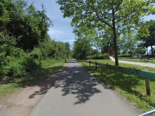
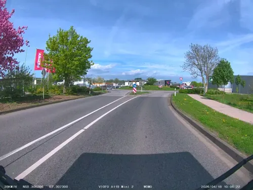
Bäckerei Hoefer
Cafe · 0.9 km
2 Robert-Koch-Straße, Polch
Mo-Fr 06:30-17:00; Sa 07:00-17:00; Su,PH 07:00-17:00
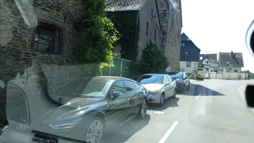
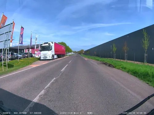
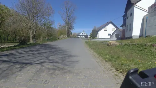
Gasthaus Streckenhäuschen
Restaurant · 3.4 km
5 Am Bahnhof
Th-Tu 11:30-23:00
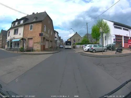

Hotel Restaurant Gilles
Restaurant · German · 4.6 km
5 Schulstraße, Kollig
Th 18:00+, Fr 17:00+, Sa 17:00+, Su 11:30+

8 more on the map.
Where to stay2
Churches and places of worship17
St. Gangolf
Church · Roman Catholic · 3.3 km
2 Stiftsstraße, Mertloch
St. Georg
Church · Roman Catholic · 0.8 km
58 St. Georgenstraße, Polch
St. Maria Magdalena
Church · Roman Catholic · 4.7 km
Raiffeisenplatz, Münstermaifeld
Shopping5
Gas and EV charging2
Schools, colleges and libraries5
Healthcare2
Map of Polch
98 places. The map loads OpenStreetMap tiles when you open it.
Getting there and nearby towns
Hahn Airport (HHN) is the nearest airport with scheduled flights listed in OpenStreetMap, 40 km away.
- Mayen 7 km northwest, about 7 min by car
- Plaidt 12 km northeast, about 12 min by car
- Andernach 16 km northeast, about 16 min by car
- Mülheim-Kärlich 16 km northeast, about 16 min by car
- Weißenthurm 16 km northeast, about 16 min by car
- Neuwied 19 km northeast, about 19 min by car
- Koblenz 20 km east, about 20 min by car
- Boppard 21 km east, about 21 min by car
- Lahnstein 22 km east, about 22 min by car
- Bendorf 23 km northeast, about 23 min by car
Drive times are estimates from straight-line distance, not routes.
Towns near Polch


Local news
Headlines from INDB.
Reviews, tips and questions
Loading what members have shared...
Sources and licences
- GeoNames (CC BY 4.0): population, coordinates, regions and time zone
- Mapillary (see each image): photos
- OpenStreetMap contributors (ODbL 1.0): places, airports, map data
- Wikidata (CC0 1.0): elevation, founding date, time zone, website, landmarks and historic places
- Wikimedia Commons (see each image): photos
- Wikipedia (CC BY-SA 4.0): overview and history text
Photo credits
- Polch 001x, Wolkenkratzer, CC BY-SA 4.0
- Polch Kirche, Historiograf (Klaus Graf), CC BY 2.0 de
- Griesson-Polch-Front, F igy, CC BY-SA 3.0
- Griesson-Polch-Prinzen-Rolle, F igy, CC BY-SA 3.0
- StGeorgPolch 1730b, Sakul5, CC BY-SA 3.0
- Polch, Kirche Sankt Georg, Georgsaltar, Rolf Kranz, CC BY-SA 4.0
- StGeorgPolch 1728b, Sakul5, CC BY-SA 3.0
- StGeorgPolch 1725b, Sakul5, CC BY-SA 3.0
- StGeorgPolch 1726b, Sakul5, CC BY-SA 3.0
- RapsfeldPolch 1733, Sakul5, CC BY-SA 3.0
- Haupteingang des Unternehmens Die Lohner’s in Polch, Stephan Tournay, CC BY-SA 4.0
- Castle Pyrmont - Roes - Rheinland-Pfalz - Germany 03, Dickelbers, CC BY-SA 3.0
- Welling Alte Kirche 46, Reinhardhauke, CC BY-SA 3.0
- Mertloch St. Gangolf 233, Reinhardhauke, CC BY-SA 3.0
- Polch St. Georg 93, GFreihalter, CC BY-SA 3.0
- Welling von SSW, Rs-foto, CC BY-SA 3.0
- Gappenach Kirche, Klaus Graf, CC BY 2.0
- Gering, Katholische Kapelle St. Nikolaus, Rolf Kranz, CC BY-SA 4.0
- Nettetal bei Ochtendung, Johannes Rummel, CC BY-SA 3.0
- Gappenach St. Maximin 63, GFreihalter, CC BY-SA 3.0
- Rüber St. Margaretha 72, Reinhardhauke, CC BY-SA 3.0
- Wehrmauer Römische Höhenbefestigung Katzenberg Mayen 2010, Holger Weinandt, CC BY-SA 3.0 de
- Mertloch St. Gangolf 61, Reinhardhauke, CC BY-SA 3.0
- Welling St. Paulinus 27, Reinhardhauke, CC BY-SA 3.0
- Ernesto Cardenal 2014 11 15 018, Rs-foto, CC BY-SA 4.0
- Ernesto Cardenal 2014 cropped, Rs-foto, CC BY-SA 4.0
- Ernesto Cardenal 2014 11 15 045, Rs-foto, CC BY-SA 4.0
- Ernesto Cardenal 2014 11 15 021 (cropped), Rs-foto, CC BY-SA 4.0
- Ernesto Cardenal 2014 11 15 004, Rs-foto, CC BY-SA 4.0
- Ernesto Cardenal 2014 (cropped), Rs-foto, CC BY-SA 4.0
- Ernesto Cardenal 2014 11 15 021, Rs-foto, CC BY-SA 4.0
- Ernesto Cardenal 2014 11 15 028, Rs-foto, CC BY-SA 4.0
- Ernesto Cardenal 2014 11 15 021 (cropped2), Rs-foto, CC BY-SA 4.0
- Ernesto Cardenal 2014 11 15 022, Rs-foto, CC BY-SA 4.0
- ISS065-E-95288 - View of Earth, Earth Science and Remote Sensing Unit , Lyndon B. Johnson Space Center, Public domain
- ISS006-E-49371 - View of Germany, Earth Science and Remote Sensing Unit , Lyndon B. Johnson Space Center, Public domain
- ISS046-E-37173 - View of Earth, Earth Science and Remote Sensing Unit , Lyndon B. Johnson Space Center, Public domain
- ISS057-E-134295 - View of Earth, Earth Science and Remote Sensing Unit, NASA Johnson Space Center, Public domain
- ISS030-E-54833 - View of Earth, Earth Science and Remote Sensing Unit , Lyndon B. Johnson Space Center, Public domain
- ISS030-E-26941 - View of Earth, Earth Science and Remote Sensing Unit , Lyndon B. Johnson Space Center, Public domain
- Informationstafel - Aussichts- und Rastplatz "Mühlenberg", LightSpirit888, CC0
- Informationstafel - Antike Treppe, LightSpirit888, CC0
- Informationstafel - Aussichts- und Rastplatz "Burgkopf", LightSpirit888, CC0
- Aussichts- und Rastplatz "Im Burgberg", LightSpirit888, CC0
- Informationstafel - Aussichts- und Rastplatz Nettehof, LightSpirit888, CC0
- Street-level photo, soulcover, CC BY-SA 4.0
- Street-level photo, peewee32, CC BY-SA 4.0
- Street-level photo, soulcover, CC BY-SA 4.0
- Street-level photo, VIA_CH, CC BY-SA 4.0
- Street-level photo, readit99, CC BY-SA 4.0
- Street-level photo, Lowiekse, CC BY-SA 4.0
- Street-level photo, soulcover, CC BY-SA 4.0
- Street-level photo, Lowiekse, CC BY-SA 4.0
- Street-level photo, VIA_CH, CC BY-SA 4.0
- Street-level photo, VIA_CH, CC BY-SA 4.0
- Street-level photo, VIA_CH, CC BY-SA 4.0
- Street-level photo, VIA_CH, CC BY-SA 4.0
- Street-level photo, readit99, CC BY-SA 4.0
- Street-level photo, Lowiekse, CC BY-SA 4.0
- Street-level photo, Lowiekse, CC BY-SA 4.0
- Street-level photo, readit99, CC BY-SA 4.0
- Street-level photo, soulcover, CC BY-SA 4.0
- Street-level photo, soulcover, CC BY-SA 4.0
- Street-level photo, soulcover, CC BY-SA 4.0
- Street-level photo, readit99, CC BY-SA 4.0
- Street-level photo, bernd1960, CC BY-SA 4.0
- Street-level photo, VIA_CH, CC BY-SA 4.0
- Street-level photo, VIA_CH, CC BY-SA 4.0


Page built November 9, 2026. Spotted a mistake? Tell us or suggest a place.