


Why visit Ochtendung
Townapedia lists 16 museums and landmarks, 11 parks and trails, 19 places to eat, 1 place to stay and 6 attractions in and around town.
Highlights include Plaidter Hümmerich, Burg Wernerseck, Römisches Grabmal and Karmelenberg.
Weather in Ochtendung
Forecast from MET Norway (CC BY 4.0). Full forecast
About Ochtendung
Ochtendung (German pronunciation: [ˈɔxtn̩dʊŋ]) is a municipality in the district of Mayen-Koblenz in Rhineland-Palatinate, western Germany.
From the Wikipedia article Ochtendung (this version), under CC BY-SA 4.0.
Photos of Ochtendung


Things to do6


Museums and landmarks16



Goloring
Monument and historic site · 4.1 km
Kultstätte aus der Eisenzeit ca 1.200 bis 600 v.Chr.
4 more on the map.
Parks, trails and playgrounds11





Restaurants and cafes19
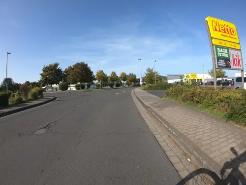
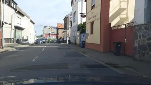
Kleine Auszeit
Cafe · 0.6 km
15 Oberpfortstraße, Ochtendung
Th-Fr 14:00-18:00; Sa 09:00-18:00; Su[1] 09:00-18:00; Su[3] 09:00-18:00
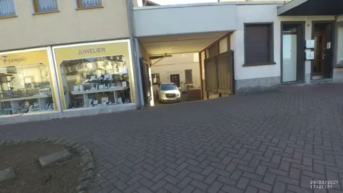
Plääde Stüffje
Bar and pub · 4.6 km
2a Alter Kirchplatz, Plaidt
We-Sa 17:00-21:00; Su 17:00-20:30
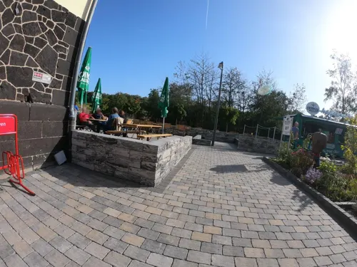
Alter Bahnhof Ochtendung
Restaurant · 1.5 km
88 Bahnhofstraße, Ochtendung
We-Sa 15:00-21:30, Su 11:30-21:30
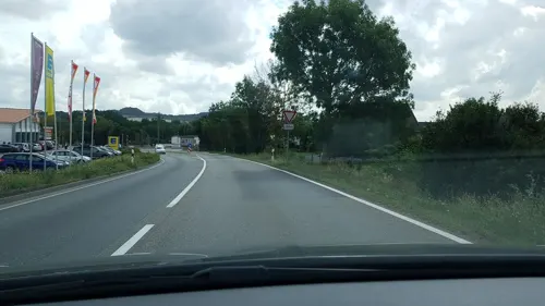
Lung's Milcheis
Ice cream · 4.4 km
Fraukircher Straße, Plaidt
Mo-Su,PH 12:00-20:00
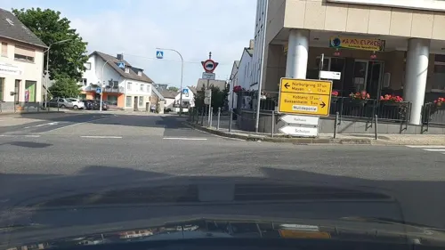
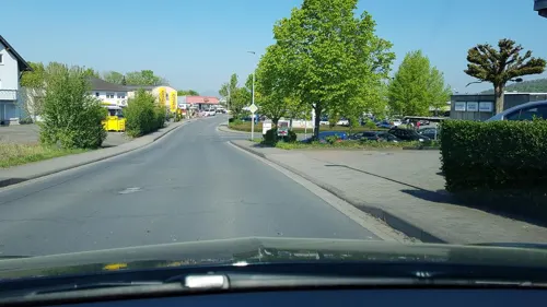


7 more on the map.
More about Ochtendung
Geography
Ochtendung lies between the A 48 and A 61 motorways and has designated junctions from both. The village lies on the Nette and is neighboured by the municipalities of Lonnig, Bassenheim, Plaidt, Kruft and Saffig. Up until a few years ago, the B 258 road started in Koblenz before running through Ochtendung and Mayen towards Belgium, passing the Nürburgring. The stretch between Koblenz and Mayen was regraded due to the proximity to the A 48 and has since been the L 98.
From the Wikipedia article Ochtendung, under CC BY-SA 4.0.
Where to stay1
Churches and places of worship14
Marienkapelle auf dem Karmelenberg
Church · Roman Catholic · 2.8 km
Baumallee, Bassenheim
Shopping5
Gas and EV charging4
Schools, colleges and libraries4
Healthcare2
Map of Ochtendung
82 places. The map loads OpenStreetMap tiles when you open it.
Getting there and nearby towns
Hahn Airport (HHN) is the nearest airport with scheduled flights listed in OpenStreetMap, 46 km away.
- Plaidt 5 km north, about 5 min by car
- Polch 7 km southwest, about 7 min by car
- Andernach 9 km north, about 9 min by car
- Weißenthurm 9 km northeast, about 9 min by car
- Mülheim-Kärlich 9 km northeast, about 9 min by car
- Neuwied 11 km northeast, about 11 min by car
- Mayen 12 km west, about 12 min by car
- Koblenz 14 km east, about 14 min by car
- Bendorf 16 km northeast, about 16 min by car
- Lahnstein 17 km east, about 17 min by car
Drive times are estimates from straight-line distance, not routes.
Towns near Ochtendung


Local news
Headlines from INDB.
Reviews, tips and questions
Loading what members have shared...
Sources and licences
- GeoNames (CC BY 4.0): population, coordinates, regions and time zone
- Mapillary (see each image): photos
- OpenStreetMap contributors (ODbL 1.0): places, airports, map data
- Wikidata (CC0 1.0): elevation, founding date, time zone, website
- Wikimedia Commons (see each image): photos
- Wikipedia (CC BY-SA 4.0): overview and history text
Photo credits
- Bildstock, ehemaliger, Ochtendung, Hauptstraße bei Nr. 43, Uron~commonswiki, CC BY-SA 4.0
- Wegkreuz, Ochtendung, bei Hauptstraße 43, Uron~commonswiki, CC BY-SA 4.0
- Ochtendung, Raiffeisenplatz, öffentlicher Bücherschrank, Norbert Roland R., CC BY-SA 4.0
- Ochtendung, Klöppelsgasse 27 I, Uron~commonswiki, CC BY-SA 4.0
- Kriegerdenkmal für die Kriege 1815, 1843, 1864 und 1870-71, Ochtendung, Friedhof, Uron~commonswiki, CC BY-SA 4.0
- Stolperstein Ochtendung, Martinstraße, Erna Faber, Uron~commonswiki, CC BY-SA 4.0
- Stolperstein Ochtendung, Martinstraße, Moses Friedberg, Uron~commonswiki, CC BY-SA 4.0
- Stolperstein Ochtendung, Martinstraße, Karl Faber, Uron~commonswiki, CC BY-SA 4.0
- Stolperstein Ochtendung, Martinstraße, Gruppe Moses Friedberg + Karl Faber + Erna Faber, Uron~commonswiki, CC BY-SA 4.0
- Friedhof Ochtendung, Wegkreuze, Uron~commonswiki, CC BY-SA 4.0
- Friedhof Ochtendung, Priestergrabstätte I, Uron~commonswiki, CC BY-SA 4.0
- Stolperstein Ochtendung, Bachstraße, Frieda Haymann, Uron~commonswiki, CC BY-SA 4.0
- Friedhof Ochtendung, Priestergrabstätte V, Uron~commonswiki, CC BY-SA 4.0
- Friedhof Ochtendung, Priestergrabstätte VI, Uron~commonswiki, CC BY-SA 4.0
- Friedhof Ochtendung, Priestergrabstätte II, Uron~commonswiki, CC BY-SA 4.0
- Friedhof Ochtendung, Priestergrabstätte IV, Uron~commonswiki, CC BY-SA 4.0
- Friedhof Ochtendung, Priestergrabstätte III, Uron~commonswiki, CC BY-SA 4.0
- Stolperstein Ochtendung, Grabenstraße, Johanna Süssmann, Uron~commonswiki, CC BY-SA 4.0
- Stolperstein Ochtendung, Grabenstraße, Helmut Hermann Süssmann, Uron~commonswiki, CC BY-SA 4.0
- Stolperstein Ochtendung, Grabenstraße, Gruppe Johanna + Helmut Hermann Süssmann, Uron~commonswiki, CC BY-SA 4.0
- Stolperstein Ochtendung, Am goode Bur, Albert Süssmann, Uron~commonswiki, CC BY-SA 4.0
- Stolperstein Ochtendung, Grabenstraße, Gruppe Ida + Jakob Süssmann, Uron~commonswiki, CC BY-SA 4.0
- Stolperstein Ochtendung, Untere Grabenstraße, Jakob Süssmann, Uron~commonswiki, CC BY-SA 4.0
- Stolperstein Ochtendung, Grabenstraße, Ida Süssmann, Uron~commonswiki, CC BY-SA 4.0
- Stolperstein Ochtendung, Plaidter Straße, Thekla Ackermann - Geschäftshaus, Uron~commonswiki, CC BY-SA 4.0
- Stolperstein Ochtendung, Plaidter Straße, Thekla Ackermann, Uron~commonswiki, CC BY-SA 4.0
- Altes Schulhaus, Ochtendung, Hauptstraße 12, Uron~commonswiki, CC BY-SA 4.0
- Kriegerdenkmal für den Krieg 1914-18, Ochtendung an der Kirche, Uron~commonswiki, CC BY-SA 4.0
- Kriegerdenkmal für den Krieg 1914-18, Ochtendung an der Kirche, II, Norbert Roland R., CC BY-SA 4.0
- Stolperstein Ochtendung, Untere Grabenstraße, Bernhardine Süssmann, Uron~commonswiki, CC BY-SA 4.0
- Zehntscheune, Ochtendung Saalgangstraße, Uron~commonswiki, CC BY-SA 4.0
- Wegkreuz, Ochtendung, Schillerstraße, Uron~commonswiki, CC BY-SA 4.0
- Stolperstein Ochtendung, Oberpfortstraße, Gruppe Leopold + Amalia Süssmann, Uron~commonswiki, CC BY-SA 4.0
- Stolperstein Ochtendung, Oberpfortstraße, Leopold Süssmann, Uron~commonswiki, CC BY-SA 4.0
- Stolperstein Ochtendung, Oberpfortstraße, Amalia Süssmann, Uron~commonswiki, CC BY-SA 4.0
- Koblenzer Str. 7, Ochtendung II, Uron~commonswiki, CC BY-SA 4.0
- Koblenzer Str. 7, Ochtendung I, Uron~commonswiki, CC BY-SA 4.0
- Ochtendung, Koblenzer Str. 36 I, Uron~commonswiki, CC BY-SA 4.0
- Ochtendung Kirche, The original uploader was Historiograf at German Wikipedia ., CC BY 2.0
- Burg Wernerseck2, Labradormix at German Wikipedia, Public domain
- Karmelenberg, Mariakapel vanuit het zuidoosten, RomkeHoekstra, CC BY-SA 4.0
- 2006mai saffig 010, Klaus Graf, CC BY 2.5
- Rauscher Park in Plaidt - II, Johannes Rummel, CC BY-SA 3.0
- St. Markus, Filialkirche in Minkelfeld-Außenansicht, Nobbi19, CC BY-SA 4.0
- Plaidt, Willibrordtsjerke (1859-1860), RomkeHoekstra, CC BY-SA 4.0
- Karmelenberg, Karmelenberg, zicht vanaf de berg, RomkeHoekstra, CC BY-SA 4.0
- Der Korretsberg, vom Hummerich gesehen, Rolf Kranz, CC BY-SA 4.0
- Nettetal bei Ochtendung, Johannes Rummel, CC BY-SA 3.0
- 2006mai saffig 021, Klaus Graf, CC BY 2.5
- Tumulus von Ochtendung 2009, Holger Weinandt, CC BY-SA 3.0 de
- Street-level photo, Lowiekse, CC BY-SA 4.0
- Street-level photo, bernd1960, CC BY-SA 4.0
- Street-level photo, VIA_CH, CC BY-SA 4.0
- Street-level photo, VIA_CH, CC BY-SA 4.0
- Street-level photo, bernd1960, CC BY-SA 4.0
- Street-level photo, bernd1960, CC BY-SA 4.0
- Street-level photo, DerMaster0815, CC BY-SA 4.0
- Street-level photo, Lowiekse, CC BY-SA 4.0
- Street-level photo, VIA_CH, CC BY-SA 4.0
- Street-level photo, chuck, CC BY-SA 4.0
- Street-level photo, Lowiekse, CC BY-SA 4.0
- Street-level photo, Lowiekse, CC BY-SA 4.0
- Street-level photo, VIA_CH, CC BY-SA 4.0
- Street-level photo, bernd1960, CC BY-SA 4.0
- Street-level photo, VIA_CH, CC BY-SA 4.0
- Street-level photo, mfa, CC BY-SA 4.0
- Street-level photo, VIA_CH, CC BY-SA 4.0
- Street-level photo, VIA_CH, CC BY-SA 4.0
- Street-level photo, VIA_CH, CC BY-SA 4.0


Page built November 9, 2026. Spotted a mistake? Tell us or suggest a place.