


Why visit Nalbach
Townapedia lists 64 museums and landmarks, 13 parks and trails, 67 places to eat, 6 places to stay and 8 attractions in and around town.
Highlights include Latz Obstplantage, Bio Paul, Jüdischer Friedhof Saarwellingen and Contiomagus.
Weather in Nalbach
Forecast from MET Norway (CC BY 4.0). Full forecast
About Nalbach
Nalbach is a municipality in the district of Saarlouis in Saarland, Germany. It is situated approximately 8 km (5.0 mi) northeast of Saarlouis, and 20 km (12 mi) northwest of Saarbrücken.
From the Wikipedia article Nalbach (this version), under CC BY-SA 4.0.
Photos of Nalbach


Things to do8
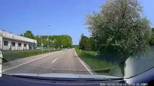
Latz Obstplantage
Farm and orchard · 3.5 km
125 Lebacher Straße, Saarwellingen
Tu-Fr 09:00-13:00; Sa 09:00-13:00
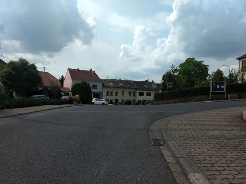



Museums and landmarks64


Contiomagus
Monument and historic site · 6.3 km
Archaeological site in Dillingen/Saar, Germany


Saar Polygon
Monument and historic site · 7.3 km
Monument in Ensdorf, Saarland, Germany


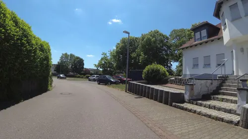
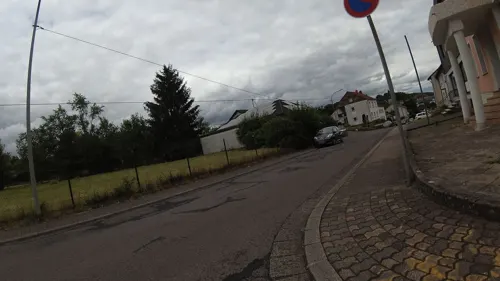
Dreifaltigkeitskreuz
Monument and historic site · 1.5 km
Ehem. Inschrift: "Gegrüß sein Jesu, du Heil Aufgericht durch Paulus Lehnert, Sohn des Jacobus Lehnert und Susana Becker, 1821"


52 more on the map.
Parks, trails and playgrounds13





1 more on the map.
Restaurants and cafes67
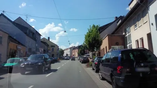
Welling
Bakery · 3.5 km
44 Bahnhofstraße, Saarwellingen
Mo-Fr 05:30-18:00; Sa 05:30-13:00; Su 07:00-17:00

Hotel-Restaurant-Litermont
Restaurant · Regional · 1.7 km
40 Am Litermont, Nalbach
We-Sa 17:00-21:00; Su 11:00-21:00
55 more on the map.
Where to stay6
Kitz Alm
Motel and hotel · German · 3.0 km
26 Werner-von-Siemens-Straße, Saarwellingen
Churches and places of worship19
Neuapostolische Kirche Saar
Church · New Apostolic · 3.2 km
14 Heinrich-Heine-Straße, Saarwellingen
Pfarrhaus Düppenweiler
Church · Roman Catholic · 3.7 km
4 Kolpingstraße, Beckingen
Shopping9
Gas and EV charging4
Schools, colleges and libraries7
Healthcare4
Map of Nalbach
201 places. The map loads OpenStreetMap tiles when you open it.
Getting there and nearby towns
Saarbrücken Airport (SCN) is the nearest airport with scheduled flights listed in OpenStreetMap, 30 km away.
- Saarwellingen 4 km southeast, about 4 min by car
- Dillingen 5 km southwest, about 5 min by car
- Beckingen 6 km west, about 6 min by car
- Schmelz 7 km northeast, about 7 min by car
- Saarlouis 8 km south, about 8 min by car
- Wallerfangen 8 km southwest, about 8 min by car
- Schwalbach 10 km south, about 10 min by car
- Lebach 10 km east, about 10 min by car
- Heusweiler 12 km southeast, about 12 min by car
- Merzig 12 km northwest, about 12 min by car
Drive times are estimates from straight-line distance, not routes.
Towns near Nalbach


Local news
Headlines from INDB.
Reviews, tips and questions
Loading what members have shared...
Sources and licences
- GeoNames (CC BY 4.0): population, coordinates, regions and time zone
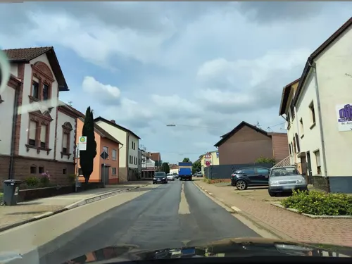
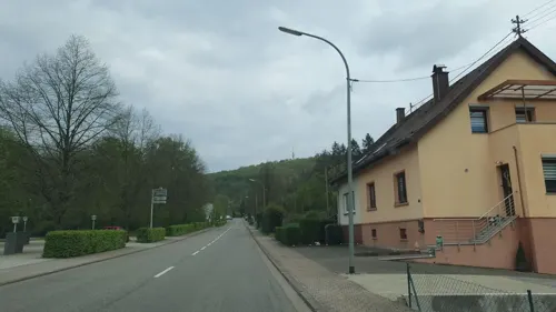
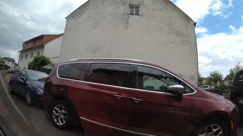
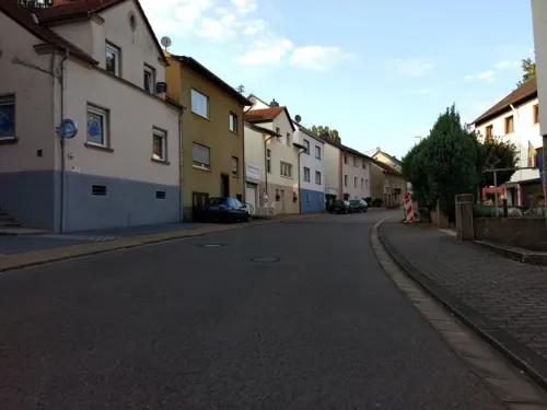
- Mapillary (see each image): photos
- OpenStreetMap contributors (ODbL 1.0): places, airports, map data
- Wikidata (CC0 1.0): elevation, founding date, time zone, website, landmarks and historic places
- Wikimedia Commons (see each image): photos
- Wikipedia (CC BY-SA 4.0): overview and history text
Photo credits
- NalbachKirche, LoKiLeCh, CC BY-SA 3.0
- Friedhof Nalbach, LoKiLeCh, CC BY-SA 4.0
- Gefallenen Denkmal Nalbach (94752), LoKiLeCh, CC BY-SA 4.0
- Gefallenen Denkmal Nalbach (26354), LoKiLeCh, CC BY-SA 4.0
- Gefallenen Denkmal Nalbach (32822), LoKiLeCh, CC BY-SA 4.0
- Gefallenen Denkmal Nalbach (15538), LoKiLeCh, CC BY-SA 4.0
- Gefallenen Denkmal Nalbach (90856), LoKiLeCh, CC BY-SA 4.0
- Gefallenen Denkmal Nalbach, LoKiLeCh, CC BY-SA 4.0
- Friedhof Nalbach (85516), LoKiLeCh, CC BY-SA 4.0
- Friedhof Nalbach (80424), LoKiLeCh, CC BY-SA 4.0
- Josefskapelle Nalbach 5, LoKiLeCh, CC BY-SA 4.0
- Josefskapelle Nalbach 4, LoKiLeCh, CC BY-SA 4.0
- Josefskapelle Nalbach 3, LoKiLeCh, CC BY-SA 4.0
- Josefskapelle Nalbach, LoKiLeCh, CC BY-SA 4.0
- Josefskapelle Nalbach 2, LoKiLeCh, CC BY-SA 4.0
- Wegekreuz Nalbach, LoKiLeCh, CC BY-SA 4.0
- Museum Pachten,, Lokilech, CC BY-SA 3.0
- Saarpolygon 2024, Jörg Braukmann, CC BY-SA 4.0
- DillingenSaarL1100566 (2), Oktobersonne, CC BY-SA 4.0
- Nalbach St. Peter und Paul 01, atreyu, CC BY-SA 3.0
- Düppenweiler St. Leodegar 02, atreyu, CC BY-SA 3.0
- HerzJesuBilsdorfL1020692 (2), Oktobersonne, CC BY-SA 4.0
- PiesbachKirche, LoKiLeCh, CC BY-SA 3.0
- StMichael(KörprichL1020698 (2), Oktobersonne, CC BY-SA 4.0
- Saarwellingen Jüdischer Friedhof (14), LoKiLeCh, CC BY-SA 3.0
- 20191124Wildfreigehege Wolfsrat 03, Flocci Nivis, CC BY-SA 4.0
- Litermont L1000029, Oktobersonne, CC BY-SA 4.0
- 20210417 Beckinger Bildchen 01, Flocci Nivis, CC BY 4.0
- Wasserbassin Piesbach (12), LoKiLeCh, CC BY-SA 3.0
- Kupferbergwerk Düppenweiler 8, LoKiLeCh, CC BY-SA 4.0
- Stolperstein für Julia Weiler (Dillingen), Christian Michelides, CC BY-SA 4.0
- Stolperstein für Martha Weiler (Dillingen), Christian Michelides, CC BY-SA 4.0
- Stolperstein für Moritz Weiler (Dillingen), Christian Michelides, CC BY-SA 4.0
- Dillingen Jakob Burger Platz, LoKiLeCh, CC BY-SA 3.0
- Saarwellingen, Blasiuskirche - Westfassade., Rosarap, CC BY-SA 3.0
- BilsdorfNalbachL1080600 (2), Oktobersonne, CC BY-SA 4.0
- StMichaelKörprichL1080394 (2), Oktobersonne, CC BY-SA 4.0
- Wegekreuz Litermont 2, LoKiLeCh, CC BY-SA 4.0
- Wegekreuz Litermont, LoKiLeCh, CC BY-SA 4.0
- St. Peter und Paul (11209), LoKiLeCh, CC BY-SA 4.0
- Blick von Conny Hill, LoKiLeCh, CC BY-SA 4.0
- Römerkastell Contiomagus Pachten Dillingen Saarland, Amber16, CC BY-SA 4.0
- Street-level photo, abusimbel16, CC BY-SA 4.0
- Street-level photo, derfred, CC BY-SA 4.0
- Street-level photo, lokilech, CC BY-SA 4.0
- Street-level photo, lokilech, CC BY-SA 4.0
- Street-level photo, lokilech, CC BY-SA 4.0
- Street-level photo, teddy73, CC BY-SA 4.0
- Street-level photo, teddy73, CC BY-SA 4.0
- Street-level photo, teddy73, CC BY-SA 4.0
- Street-level photo, teddy73, CC BY-SA 4.0
- Street-level photo, ramap, CC BY-SA 4.0
- Street-level photo, teddy73, CC BY-SA 4.0
- Street-level photo, lokilech, CC BY-SA 4.0
- Street-level photo, teddy73, CC BY-SA 4.0
- Street-level photo, teddy73, CC BY-SA 4.0
- Street-level photo, lokilech, CC BY-SA 4.0
- Street-level photo, lokilech, CC BY-SA 4.0
- Street-level photo, lokilech, CC BY-SA 4.0
- Street-level photo, teddy73, CC BY-SA 4.0
- Street-level photo, teddy73, CC BY-SA 4.0
- Street-level photo, teddy73, CC BY-SA 4.0
- Street-level photo, teddy73, CC BY-SA 4.0
- Street-level photo, teddy73, CC BY-SA 4.0
- Street-level photo, lokilech, CC BY-SA 4.0
- Street-level photo, teddy73, CC BY-SA 4.0


.JPG)


Page built November 9, 2026. Spotted a mistake? Tell us or suggest a place.