


Why visit Nassau
Townapedia lists 67 museums and landmarks, 14 parks and trails, 35 places to eat, 11 places to stay and 62 attractions in and around town.
Highlights include Hahnenkopf, Korbacher Kopf, Alteburg Singhofen (prähistorische Höhenbefestigung) and Burgruine Heidenpütz.
Weather in Nassau
Forecast from MET Norway (CC BY 4.0). Full forecast
About Nassau
Nassau ( NASS-aw, also UK: NASS-ow, US: NAHSS-ow, German: [ˈnasaʊ] ) is a town located in the German state of Rhineland-Palatinate. It lies on the lower course of the Lahn River, on the mouth of the Mühlbach, between Limburg an der Lahn and the spa town of Bad Ems, and is located in the Nassau Nature Park, surrounded by the Westerwald to the north and the Taunus to the south. The town is on the German-Dutch holiday road, the Orange Route. As of 2021, it had a population of 4,592.
From the Wikipedia article Nassau, Rhineland-Palatinate (this version), under CC BY-SA 4.0.
Travel tips from other travellers: Nassau on Wikivoyage (CC BY-SA 4.0).
Photos of Nassau


Things to do62

Langenaublick
Scenic view · 3.3 km
Dies ist definitiv der Aussichtspunkt mit dem Namensschild 'Langenaublick'direkt über der Aussichtssitzbank, weiße Schrift auf grünem...
Himmelsberg / Bernshahner Kopf
Scenic view · 3.2 km
Der Gipfel hat eine Art Grenzstein als Markierung mit einem Dreiecksymbol 2024-06-06.
50 more on the map.
Museums and landmarks67

Alteburg Singhofen (prähistorische Höhenbefestigung)
Monument and historic site · 3.7 km



55 more on the map.
Parks, trails and playgrounds14
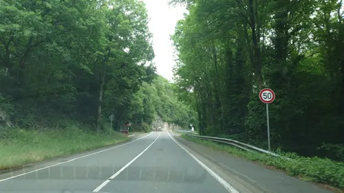
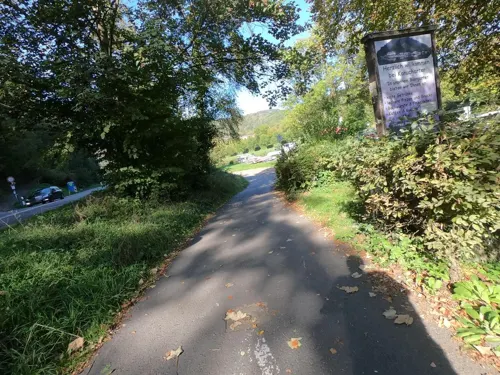


Mühlbachpark
Park · 1.0 km
Freizeitgelände mit Spielmöglichkeiten für Menschen mit und ohne Behinderung, barrierefrei



2 more on the map.
Restaurants and cafes35
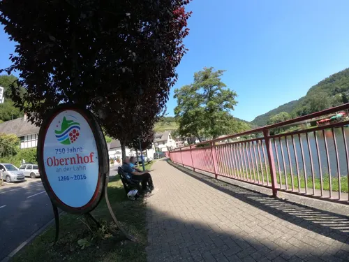
Eisdiele Obernhof
Ice cream · 3.5 km
Original italienisches Speiseeis, ital. Kaffeegenuss und kalte Getränke
6 Hauptstraße, Obernhof
Mo-Su 12:00-18:30
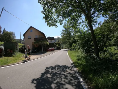
Weinstube Uwe & Sabine Haxel
Restaurant · 3.6 km
Wein und kleine Gerichte genießen auf der Terasse unter Reben
1 Arnsteiner Straße, Obernhof
Sa 13:00+; Su 11:00+; Mo,We-Fr 15:00+

Weinschänke in der Borngass
Restaurant · 3.7 km
Lahnweingut
5a Borngasse, Obernhof
May-Oct: Mo-Sa 15:00+; May-Oct: Su,PH 11:00+; Nov-Apr: Th,Fr...

Café Frühstückseck
Cafe · Coffee Shop
14 Amtsstraße, Nassau (Lahn)
Mo,Tu,Th,Fr,Su 08:00-16:30; Sa 08:00-14:00

Landgasthof Burgblick
Restaurant · 1.9 km
1 Köpfchensweg, Dienethal
Mo-Tu off; We-Sa 17:30-21:00; We 10:00-12:00; Su 11:30-14:00,17:00-21:00
23 more on the map.
History
The earliest known surviving mention of Nassau refers to the Villa Nassova estate of the Bishopric of Worms in a 915 deed. In 1348 the Emperor Charles IV granted Nassau town-privileges rights together with nearby Dausenau and Scheuern. Count Dudo-Heinrich of Laurenburg had the Nassau Castle built about 1100 and his descendants began to call themselves the Counts of Nassau.
Count Adolf of Nassau served as the elected King of the Romans from 1292 until his death on 2 July 1298. The Counts of Nassau married into the line of the neighbouring Counts of Arnstein (Obernhof/Attenhausen), founders of the monastery at Arnstein. After the dissolution of the Holy Roman Empire in 1806, the town became part of the Duchy of Nassau.
Nassau suffered heavily from bombings by American B-26 Marauders during World War II, all three hospitals and almost all of the inner city were completely destroyed.
Despite the ancient and eventful history of this town, it had a population of fewer than 5,000 inhabitants as of 2012.
Read more of the history
The town of Nassau became the namesake of the Duchy of Nassau, the royal House of Nassau and its branch named the House of Orange-Nassau, and the Prussian province of Hesse-Nassau. William III of England obtained a title Nassau. The Grand Duke of Luxembourg still uses Nassau as a title and it is also part of the Dutch royal family (called Orange-Nassau). Its name has also spawned a multitude of other namings in the Americas, such as Nassau, the capital city of the Bahamas, and Nassau County, New York, in the United States. The name also occurs in the titles of ships, buildings, and even a type of bet used in golf.
From the History section of Nassau, Rhineland-Palatinate on Wikipedia, under CC BY-SA 4.0.
More about Nassau
Geography
Nassau is located on the lower course of the Lahn river, between the cities of Limburg an der Lahn and Bad Ems. Within Nassau's city limits, the Mühlbach (de: Mühlbach (Lahn)) flows into the Lahn. The Lahn joins the Rhine at Lahnstein. The closest city with more than 100,000 inhabitants is Koblenz. Other close by cities are Wiesbaden, Mainz, Bonn and Frankfurt. Most of the city (the districts north of the Lahn including the city center) lie in the Westerwald mountain range—the precise part of the Westerwald around Nassau is called Montabaurer Westerwald (Montabaur Westerwald), the southernmost foothills of the mountain range. The Nassauian districts south of the Lahn including Nassau Castle on the other hand, are located in the northernmost foothills of the Taunus mountain range—more precisely in the Westlicher Hintertaunus (Western Rear Taunus). The Lahn is the natural boundary between Westerwald and Taunus.
Administratively, Nassau is located in the Rhine-Lahn district (Rhein-Lahn-Kreis; seat: Bad Ems) in Rhineland-Palatinate (capital: Mainz). The city consists of two quarters: Nassau (with Elisenhütte, Obergutenau, Scheuern, Schützenhaus and Untergutenau) and Bergnassau (with Burg Nassau, Hühnerfarm, Koppelheck and Langau).
From the Wikipedia article Nassau, Rhineland-Palatinate, under CC BY-SA 4.0.
Where to stay11
Churches and places of worship15
Arnstein Kloster
Church · Catholic · 3.7 km
1 Arnstein Kloster, Seelbach
Evangelische Kirche Hömberg
Church · Evangelical · 2.5 km
5 Kapellenstraße, Hömberg
Shopping4
Gas and EV charging2
Schools, colleges and libraries3
Healthcare2
Map of Nassau
215 places. The map loads OpenStreetMap tiles when you open it.
Getting there and nearby towns
Wiesbaden Army Airfield (WIE) is the nearest airport with scheduled flights listed in OpenStreetMap, 48 km away.
- Lahnstein 13 km west, about 13 min by car
- Montabaur 14 km north, about 14 min by car
- Koblenz 16 km west, about 16 min by car
- Vallendar 15 km northwest, about 15 min by car
- Diez 16 km northeast, about 16 min by car
- Boppard 18 km southwest, about 18 min by car
- Wirges 18 km north, about 18 min by car
- Limburg an der Lahn 19 km northeast, about 19 min by car
- Bendorf 20 km northwest, about 20 min by car
- Elz 20 km northeast, about 20 min by car
Drive times are estimates from straight-line distance, not routes.
Towns near Nassau


Local news
Headlines from INDB.
Reviews, tips and questions
Loading what members have shared...
Sources and licences
- GeoNames (CC BY 4.0): population, coordinates, regions and time zone
- Mapillary (see each image): photos
- OpenStreetMap contributors (ODbL 1.0): places, airports, map data
- Wikidata (CC0 1.0): elevation, founding date, time zone, website, landmarks and historic places
- Wikimedia Commons (see each image): photos
- Wikipedia (CC BY-SA 4.0): overview and history text
Photo credits
- Blick über den westlichen Hintertaunus, hintertaunus, Public domain
- Burg-Nassau-JR-G6-4572-2010-05-23, Johannes Robalotoff, CC BY-SA 3.0 de
- Singhofen 012, Frank Winkelmann, CC BY 3.0
- ObernhofKlosterArnstein1, LigaDue, CC BY-SA 4.0
- Heidenpütz 029, Frank Winkelmann, CC BY 3.0
- Nassau Burg Stein Torturm, Tohma ( talk ), CC BY-SA 4.0
- Schloss Langenau vom Lahntalradweg, Muck, CC BY-SA 4.0
- Dausenau - St. Kastor, Santiago2000, CC BY-SA 3.0
- Stein's Palace in Nassau (Lahn) 2015 SE, Hans G. Oberlack, CC BY-SA 4.0
- ObernhofEvangelischeKirche2, LigaDue, CC BY-SA 4.0
- Winden kirche dw8214 2, Dieterwick, CC BY-SA 4.0
- SeelbachNassauMargarethenkircheRuine04, LigaDue, CC BY-SA 4.0
- Nassau Luftbild 071, Fritz Geller-Grimm, CC BY-SA 3.0
- Kloster Arnstein 01, Joeby at German Wikipedia, CC BY-SA 2.0 de
- 12RK-Burg Langenau-Schlossgebaeude, MacElch (Rainer Kunze) at de.wikipedia, CC BY-SA 3.0
- Nassau Steinsches Schloss, Michael Pabst, CC BY-SA 3.0 de
- Street-level photo, grinninghamster, CC BY-SA 4.0
- Street-level photo, grinninghamster, CC BY-SA 4.0
- Street-level photo, grinninghamster, CC BY-SA 4.0
- Street-level photo, troher15, CC BY-SA 4.0
- Street-level photo, mapcreator, CC BY-SA 4.0
- Street-level photo, stili, CC BY-SA 4.0
- Street-level photo, troher15, CC BY-SA 4.0
- Street-level photo, Javensf, CC BY-SA 4.0
- Street-level photo, stili, CC BY-SA 4.0
- Street-level photo, grinninghamster, CC BY-SA 4.0
- Street-level photo, stili, CC BY-SA 4.0
- Street-level photo, stili, CC BY-SA 4.0
- Street-level photo, stili, CC BY-SA 4.0
- Street-level photo, stili, CC BY-SA 4.0
- Street-level photo, mapcreator, CC BY-SA 4.0
- Street-level photo, stili, CC BY-SA 4.0
- Street-level photo, troher15, CC BY-SA 4.0
- Street-level photo, grinninghamster, CC BY-SA 4.0


Page built November 9, 2026. Spotted a mistake? Tell us or suggest a place.