


Why visit Neuenkirchen
Townapedia lists 15 museums and landmarks, 5 parks and trails, 10 places to eat, 3 places to stay and 3 attractions in and around town.
Highlights include Berne-Juliusplate Unterfeuer, Valentin submarine pens, U-Boot-Bunker Valentin and Eispohl/Sandwehen.
Weather in Neuenkirchen
Forecast from MET Norway (CC BY 4.0). Full forecast
Things to do3



Museums and landmarks15

Valentin submarine pens
Monument and historic site · 2.0 km
Kulturdenkmal, siehe http://wiki.openstreetmap.org/wiki/Bremen/Kulturdenkm%C3%A4ler
1 Rekumer Siel, Bremen
Tu-Su 10:00-16:00; Sa off; PH off
Schifffahrtsmuseum der oldenburgischen Unterweser - Haus Elsfleth
Museum · 4.0 km
14 Weserstraße, Elsfleth
Apr-Oct: Tu-Su 10:00-17:00, Nov-Mar: Tu-Sa 11:00-17:00, Nov-Mar:...

Dokumentations- und Lernort Baracke Wilhelmine
Museum · 1.5 km
122 An der Kaserne, Schwanewede


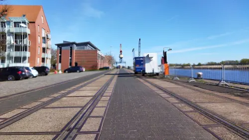
Berth sail-training ship "Grossherzogin Elisabeth"
Monument and historic site · 3.9 km

Geschichtslehrpfad U-Boot Bunker Valentin
Monument and historic site · 1.9 km
Gedenkstation
Kraftwerksturbine
Monument and historic site · 3.3 km
6 Wilhelmshavener Straße, Bremen
Ehemalige Lagerfläche mit Bahnanschluss für Baumaterialien zur Zeit des U-Boot-Bunkerbaues
Monument and historic site · 1.2 km
Gedenkstätte für die Zwangsarbeiter beim Bau des Bunker Valentin.
Monument and historic site · 1.9 km
3 more on the map.
Parks, trails and playgrounds5



Restaurants and cafes10
Pella im Rekumer Hof
Restaurant · Greek · 1.7 km
116 Rekumer Straße, Bremen
Fr-Su 17:30-21:30; Dec 25,Dec 26,easter "Bitte Website prüfen!"

Ringhotel Fährhaus Farge
Restaurant · 3.6 km
1 Wilhelmshavener Straße, Bremen
Mo-Th 17:00-21:30; Fr-Su 12:00-21:30
Zum Grünen Jäger
Restaurant · 3.0 km
100 Farger Straße, Bremen
Mo off;Tu 17:00-24:00;We-Sa 17:00-24:00;Su 10:00-14:30,17:00-24:00

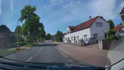
Starke Bäcker
Bakery · 0.6 km
89 Landstraße, Schwanewede
Mo-Sa 06:00-16:00, Mo-Fr 16:00-19:00; Su 07:30-10:30; PH off; Dec...
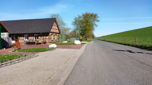
Starke Bäcker
Bakery · 2.8 km
121 Farger Straße, Bremen
Mo-Fr 06:30-18:00; Sa 06:30-14:00; Su 07:00-11:00; PH "Bitte...
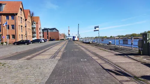
Melkhus Berne
Cafe · Ice Cream, Milkshake · 3.5 km
Frische Milchprodukte für die Fahrradtourpause. Nicht zum reinsetzen, Sitzgelegenheiten im Freien.
10 Deichstraße, Berne
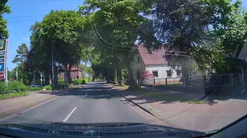
Panorama - Restaurant & Café
Restaurant · 3.9 km
1B An der Kaje, Elsfleth
Tu-Fr 14:30-22:00; Sa-Su 11:00-22:00


Where to stay3
Churches and places of worship2
Shopping6
Schools, colleges and libraries16
Jade Hochschule Wilhelmshaven/Oldenburg/Elsfleth - Studienort Elsfleth
School · 4.0 km
52 Weserstraße, Elsfleth
Healthcare1
Map of Neuenkirchen
61 places. The map loads OpenStreetMap tiles when you open it.
Getting there and nearby towns
Bremen Airport (BRE) is the nearest airport with scheduled flights listed in OpenStreetMap, 27 km away.
- Schwanewede 4 km east, about 4 min by car
- Brake (Unterweser) 12 km north, about 12 min by car
- Hude 14 km south, about 14 min by car
- Ovelgönne 14 km northwest, about 14 min by car
- Ritterhude 15 km east, about 15 min by car
- Osterholz-Scharmbeck 18 km east, about 18 min by car
- Delmenhorst 21 km south, about 21 min by car
- Ganderkesee 22 km south, about 22 min by car
- Oldenburg 23 km southwest, about 23 min by car
- Bremen 26 km southeast, about 26 min by car
Drive times are estimates from straight-line distance, not routes.
Local news
Headlines from INDB.
Reviews, tips and questions
Loading what members have shared...
Sources and licences
- GeoNames (CC BY 4.0): population, coordinates, regions and time zone
- Mapillary (see each image): photos
- OpenStreetMap contributors (ODbL 1.0): places, airports, map data
- Wikidata (CC0 1.0): elevation, founding date, time zone, website, landmarks and historic places
- Wikimedia Commons (see each image): photos
Photo credits
- Kirche Neuenkirchen (Schwanewede) 01, ClausNe, CC BY-SA 4.0
- Kirche Neuenkirchen (Schwanewede) 02, ClausNe, CC BY-SA 4.0
- Kirche Neuenkirchen (Schwanewede) 03, ClausNe, CC BY-SA 4.0
- Jade-Hochschule, Wilhelmshaven, Gerd Fahrenhorst, CC BY-SA 3.0
- Luftbild Bunker Valentin, Olliku, CC BY-SA 3.0
- Baracke Wilhelmine Schwanewede (2012)-01, Jocian, CC BY-SA 3.0
- Düne Naturschutzgebiet Eispohl-Sandwehen, Bremen, XenonX3, CC0
- Bremen-Rekum evang-ref-Kirche 01, Joern M, CC BY-SA 3.0
- Berne-Juliusplate range front 7018, Ein Dahmer, CC BY-SA 4.0
- DM des Schwarzen Herzogs 20190417 2, Helmut Seger, CC BY-SA 4.0
- Elsflehter Sand Leuchtturm Hohenzollern Unterfeuer, Oberlausitzerin64, CC BY-SA 4.0
- ElsflethBahn, -- Xocolatl 11:38, 7 October 2006 (UTC), Public domain
- Dop10rgb 32 4680 58975 05 hb 2025, Quellenvermerk: Landesamt GeoInformation Bremen, CC BY 4.0
- Dop10rgb 32 4675 58975 05 hb 2025, Quellenvermerk: Landesamt GeoInformation Bremen, CC BY 4.0
- Dop10rgb 32 4680 58970 05 hb 2025, Quellenvermerk: Landesamt GeoInformation Bremen, CC BY 4.0
- Dop10rgb 32 4675 58970 05 hb 2025, Quellenvermerk: Landesamt GeoInformation Bremen, CC BY 4.0
- Dop10rgb 32 4670 58975 05 hb 2025, Quellenvermerk: Landesamt GeoInformation Bremen, CC BY 4.0
- Dop10rgb 32 4670 58970 05 hb 2025, Quellenvermerk: Landesamt GeoInformation Bremen, CC BY 4.0
- Marinebahngleis - Typenbezeichnung, Christopher Müller, CC BY 3.0
- Dop10rgb 32 4680 58965 05 hb 2025, Quellenvermerk: Landesamt GeoInformation Bremen, CC BY 4.0
- Marinebahngleis - Rodingen 1942, Christopher Müller, CC BY 3.0
- Marinebahngleis Richtung Schwanewede nördlich des MGL, Christopher Müller, CC BY 3.0
- Dop10rgb 32 4675 58965 05 hb 2025, Quellenvermerk: Landesamt GeoInformation Bremen, CC BY 4.0
- Dop10rgb 32 4685 58965 05 hb 2025, Quellenvermerk: Landesamt GeoInformation Bremen, CC BY 4.0
- Dop10rgb 32 4665 58975 05 hb 2025, Quellenvermerk: Landesamt GeoInformation Bremen, CC BY 4.0
- Street-level photo, StefanS79, CC BY-SA 4.0
- Street-level photo, hubert87, CC BY-SA 4.0
- Street-level photo, StefanS79, CC BY-SA 4.0
- Street-level photo, changchun1, CC BY-SA 4.0
- Street-level photo, StefanS79, CC BY-SA 4.0
- Street-level photo, StefanS79, CC BY-SA 4.0
- Street-level photo, StefanS79, CC BY-SA 4.0
- Street-level photo, changchun1, CC BY-SA 4.0
- Street-level photo, changchun1, CC BY-SA 4.0
- Street-level photo, StefanS79, CC BY-SA 4.0
- Street-level photo, StefanS79, CC BY-SA 4.0
- Street-level photo, changchun1, CC BY-SA 4.0
- Street-level photo, StefanS79, CC BY-SA 4.0
- Street-level photo, StefanS79, CC BY-SA 4.0
- Street-level photo, changchun1, CC BY-SA 4.0


Page built November 9, 2026. Spotted a mistake? Tell us or suggest a place.