


Niefern-Öschelbronn, Germany
Niefern-Öschelbronn is a town of 12,341 people in Baden-Wurttemberg, Germany.
Why visit Niefern-Öschelbronn
Townapedia lists 34 museums and landmarks, 6 parks and trails, 37 places to eat, 5 places to stay and 5 attractions in and around town.
Highlights include Theater Pforzheim, Tannenberg, Bäuerliches Museum and Kirnbachmuseum.
Weather in Niefern-Öschelbronn
Forecast from MET Norway (CC BY 4.0). Full forecast
About Niefern-Öschelbronn
Niefern-Öschelbronn is a municipality in the Enz district, in Baden-Württemberg, Germany. It is situated on the river Enz, 6 km east of Pforzheim.
From the Wikipedia article Niefern-Öschelbronn (this version), under CC BY-SA 4.0.
Things to do5

Theater Pforzheim
Cinema and theater · 6.6 km
Theatre and opera house in Pforzheim, Germany

Museums and landmarks34
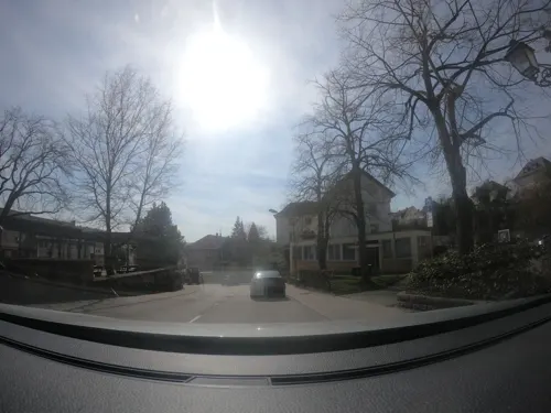
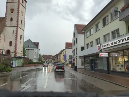
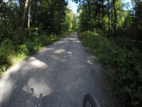

Römischer Gutshof Kanzlerwald
Monument and historic site · 4.1 km
Vier Gebäude und ein Brunnen, durch niedrige Mauer im Grundriß erkennbar, mit detailierten Informationstafeln ausgestattet, frei zugänglich

22 more on the map.
Parks, trails and playgrounds6


Erhard Fahlbusch-Bad
Sports field and stadium
Mo-Fr 09:00-20:00; Sa,Su 08:00-20:00; Nov-May off

Restaurants and cafes37

Goll
Restaurant · Regional
6 Hebelstraße, Niefern-Öschelbronn
Tu-Fr 11:30-14:00,18:00-21:00; Sa 18:00-21:00
Bonita's
Restaurant · Filipino · 3.2 km
78 Kanalstraße, Mühlacker
Mo 11:30-14:00, We-Fr 11:30-14:00, We-Fr 17:00-21:00,...
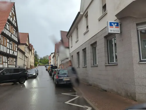
Bäckerei und Konditorei Meeh
Bakery · 2.7 km
2 Reichstr., Niefern-Öschelbronn
Tu-Fr 06:30-13:00,15:00-18:00; Sa 06:30-12:00; Su 08:00-11:00

Jürgen's Backstüble
Bakery · 2.4 km
26 Industriestraße, Niefern-Öschelbronn
Mo-Fr 05:30-13:00,15:00-18:00; We off; Sa 05:30-12:00
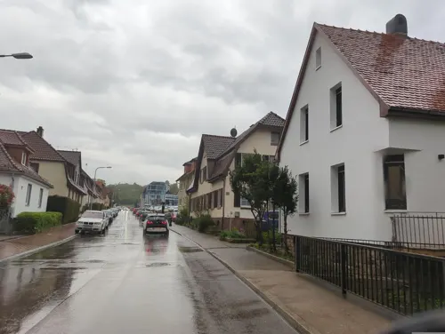
Bürkl‘s Kirnbachtal – Hotel & Restaurant
Restaurant · 0.8 km
Mo-Sa 17:00-23:00;Su 11:00-15:00,17:00-23:00
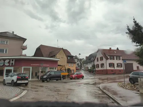
Niefern Döner
Restaurant · Döner, Pizza
72 Hauptstraße, Niefern-Öschelbronn
Mo-Th 11:00-22:00; Fr-Sa 11:00-21:30
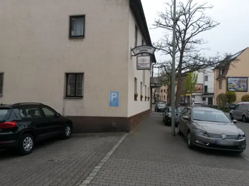
Salmen
Restaurant · German · 2.7 km
85 Enzstraße, Pforzheim
Tu-Sa 17:00-21:00; Th-Su 11:30-14:00,17:00-21:00


25 more on the map.
History
Öschelbronn had been a possession of the Duchy of Württemberg since 1504, while Niefern was a possession of the Margraviate of Baden from 1529. Öschelbronn was ceded to Baden in an 1810 exchange of territories between the now Kingdom of Württemberg and Grand Duchy of Baden, and it and Niefern were assigned to the district of Pforzheim. The two towns remained under the jurisdiction of Pforzheim through the reorganizations of 1819 and 1 October 1864, and again when the district was reorganized on 25 June 1939 as Landkreis Pforzheim. On 1 August 1971, Öschelbronn was incorporated into Niefern, which changed its name to Niefern-Öschelbronn on 18 November 1971. The new municipality was assigned on 1 January 1973 to the Enz district by the 1973 Baden-Württemberg district reform.
From the History section of Niefern-Öschelbronn on Wikipedia, under CC BY-SA 4.0.
Where to stay5
Best Western Queens Hotel Pforzheim-Niefern
Motel and hotel · 0.9 km
52 Pforzheimer Straße, Niefern-Öschelbronn
Churches and places of worship13
Stephanuskirche
Church · Protestant · 3.2 km
6 Zwingerhof, Kieselbronn
Evanglisch-methodistische Kirche
Church · United Methodist · 2.0 km
1 Uhlandstraße, Niefern-Öschelbronn
Evangelische Kirche Neubärental
Church · Protestant · 3.9 km
1 Wurmberger Straße, Wurmberg
Shopping8
Gas and EV charging8
Ladestation für Elektrofahrzeuge Raiffeisenbank Kieselbronn
EV charging · 3.2 km
Schools, colleges and libraries9
Realschule und Werkrealschule Niefern-Öschelbronn
School
4 Bischwiese, Niefern-Öschelbronn
Healthcare6
Linden-Apotheke
Clinic and pharmacy · 2.5 km
323 Hauptstraße, Niefern-Öschelbronn
Map of Niefern-Öschelbronn
131 places. The map loads OpenStreetMap tiles when you open it.
Getting there and nearby towns
Manfred Rommel Airport Stuttgart (STR) is the nearest airport with scheduled flights listed in OpenStreetMap, 41 km away.
- Mühlacker 5 km northeast, about 5 min by car
- Pforzheim 7 km southwest, about 7 min by car
- Birkenfeld 12 km southwest, about 12 min by car
- Vaihingen an der Enz 13 km east, about 13 min by car
- Bretten 14 km north, about 14 min by car
- Oberderdingen 17 km north, about 17 min by car
- Rutesheim 17 km southeast, about 17 min by car
- Weil der Stadt 20 km south, about 20 min by car
- Renningen 20 km southeast, about 20 min by car
- Leonberg 21 km southeast, about 21 min by car
Drive times are estimates from straight-line distance, not routes.
Local news
Headlines from INDB.
Reviews, tips and questions
Loading what members have shared...
Sources and licences
- GeoNames (CC BY 4.0): population, coordinates, regions and time zone
- Mapillary (see each image): photos
- OpenStreetMap contributors (ODbL 1.0): places, airports, map data
- Wikidata (CC0 1.0): elevation, founding date, time zone, website, landmarks and historic places
- Wikimedia Commons (see each image): photos
- Wikipedia (CC BY-SA 4.0): overview and history text
Photo credits
- Niefernburg, Mussklprozz, CC BY-SA 3.0
- 20140526 NSG-Nr 2-096 Enztal Niefern-Mühlackerl 016, Fröhlich!a, CC BY-SA 3.0
- Kieselbronn-Ansicht von Norden mit Kirche über Kirchhofmauer und ehemaligem Zwingervorfeld-010309, Robert Pietschmann, CC BY-SA 4.0
- Cultural heritage monuments in Eutingen (Pforzheim) Chor, Moleskine, CC BY-SA 4.0
- Cultural heritage monuments in Eutingen (Pforzheim) Kirche, Moleskine, CC BY-SA 4.0
- 20111002 Enz in Niefern 060, Fröhlich!a, CC BY-SA 3.0
- 20111002 Enz in Niefern 061, Fröhlich!a, CC BY-SA 3.0
- 20111002 Enz-Staustufe Niefern 006, Fröhlich!a, CC BY-SA 3.0
- Transformer - panoramio, Dg-505, CC BY 3.0
- Reflection - panoramio (9), Dg-505, CC BY 3.0
- 20111002 Enz-Staustufe Niefern 005, Fröhlich!a, CC BY-SA 3.0
- Green - panoramio (10), Dg-505, CC BY 3.0
- 20111002 Enz in Niefern 062, Fröhlich!a, CC BY-SA 3.0
- 20111002 Enz-Staustufe Niefern 003, Fröhlich!a, CC BY-SA 3.0
- 20111002 Enzufer Niefern 001, Fröhlich!a, CC BY-SA 3.0
- 20111002 Enztal in Niefern 002, Fröhlich!a, CC BY-SA 3.0
- Bridge With Hotel - panoramio, Dg-505, CC BY 3.0
- Hay - panoramio (1), Dg-505, CC BY 3.0
- Nice Flats - panoramio (5), Dg-505, CC BY 3.0
- Kirnbach Niefern 3, Exa, CC0
- Kirnbach Niefern 1, Exa, CC0
- How To Dismantel An Atomic Bomb - panoramio, Dg-505, CC BY 3.0
- Kirnbach Niefern 2, Exa, CC0
- Quartet - panoramio, Dg-505, CC BY 3.0
- Rolling Up - panoramio, Dg-505, CC BY 3.0
- Niefern Ansicht von Norden, Dg-505, CC BY 3.0
- Like A Park In The Fields - panoramio, Dg-505, CC BY 3.0
- Lets Play Golf - panoramio, Dg-505, CC BY 3.0
- Street-level photo, toho, CC BY-SA 4.0
- Street-level photo, electria, CC BY-SA 4.0
- Street-level photo, electria, CC BY-SA 4.0
- Street-level photo, mfa, CC BY-SA 4.0
- Street-level photo, electria, CC BY-SA 4.0
- Street-level photo, electria, CC BY-SA 4.0
- Street-level photo, electria, CC BY-SA 4.0
- Street-level photo, nvbwseifert, CC BY-SA 4.0
- Street-level photo, rausk, CC BY-SA 4.0
- Street-level photo, mfa, CC BY-SA 4.0
- Street-level photo, wegavision, CC BY-SA 4.0
- Street-level photo, changchun1, CC BY-SA 4.0
- Street-level photo, changchun1, CC BY-SA 4.0
- Street-level photo, toho, CC BY-SA 4.0
- Street-level photo, electria, CC BY-SA 4.0
- Street-level photo, mfa, CC BY-SA 4.0
- Street-level photo, toho, CC BY-SA 4.0


Page built November 8, 2026. Spotted a mistake? Tell us or suggest a place.