


Steinhagen, Germany
Steinhagen is a town of 19,869 people in North Rhine-Westphalia, Germany.
Why visit Steinhagen
Townapedia lists 49 museums and landmarks, 36 parks and trails, 93 places to eat, 9 places to stay and 30 attractions in and around town.
Highlights include Hof Weyand Hofladen, Bioland Hofladen Mühle, Heimatmuseum Quelle and Kunsthalle Bielefeld.
Weather in Steinhagen
Forecast from MET Norway (CC BY 4.0). Full forecast
About Steinhagen
Steinhagen (German pronunciation: [ˈʃtaɪnhaːɡn̩] ) is a municipality in the district of Gütersloh in the state of North Rhine-Westphalia, Germany. It is located on the south slope of the Teutoburg Forest, approx. 10 km west of Bielefeld and 15 km north of Gütersloh. The village is well known for producing Schnaps made from juniper berries which are distilled three times.
From the Wikipedia article Steinhagen, North Rhine-Westphalia (this version), under CC BY-SA 4.0.
Things to do30

Hof Weyand Hofladen
Farm and orchard · 5.0 km
29 Steinhagener Straße
Mo-Fr 09:00-13:00,15:00-18:00, Sa 08:30-13:00; PH off
Bioland Hofladen Mühle
Farm and orchard · 4.6 km
1 Mühlenhof, Halle (Westf.)
Tu , Fr 10:00-18:00; Sa 10:00-13:00


18 more on the map.
Museums and landmarks49

Heimatmuseum Quelle
Museum · 5.3 km
1 Hünenburgstraße, Bielefeld
Sa 13:00-17:00; Su,PH 11:00-18:00; "Bei Regenwetter geschlossen"


Naturkunde-Museum Bielefeld
Museum · 9.0 km
Natural History Museum in Kreuzstrasse in Bielefeld, Germany


Brinkhaus
Monument and historic site · 1.2 km
Altes Zollhaus
17 Brinkstraße, Steinhagen
Hof Ordelheide
Monument and historic site · 4.0 km
Denkmal: Hofhaus einschl. Backhaus
96 Sandforther Straße, Steinhagen


Schloss Patthorst
Monument and historic site · 1.7 km
5 Schloßallee, Steinhagen
Alte Dorfschule
Monument and historic site · 3.7 km
224 Brockhagener Straße, Steinhagen
37 more on the map.
Parks, trails and playgrounds36





24 more on the map.
Restaurants and cafes93

Landgasthof Pappelkrug
Restaurant · German, Regional · 4.4 km
4 Pappelstraße, Halle (Westf.)
Mo-Su 17:30+; PH off
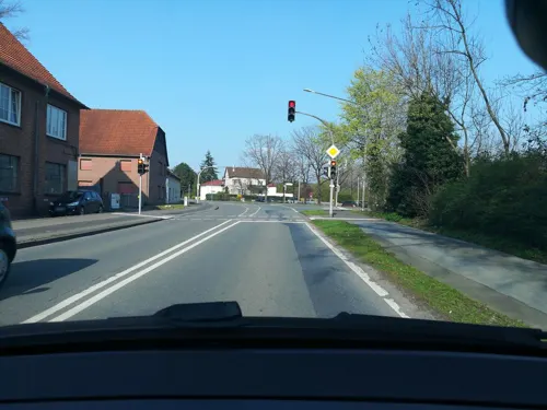
Beukens
Restaurant · Italian · 6.5 km
41 Alleestraße, Halle (Westf.)
Mo-Tu closed, We-Th 17:00-23:00, Fr-Sa 17:00+, Su 12:00-22:00
Brackweder Hof
Restaurant · 5.8 km
236 Gütersloher Straße, Bielefeld
Tu-Th 12:00-14:00, 18:00-21:00; Mo, Fr-Sa 18:00-21:00
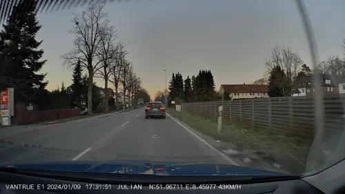
Burger Route 61
Restaurant · American, Burger · 5.5 km
338 Gütersloher Straße, Bielefeld
Tu-Fr 11:30 - 14:30, 17:00 - 21:00; Sa-Su 17:00 - 21:00
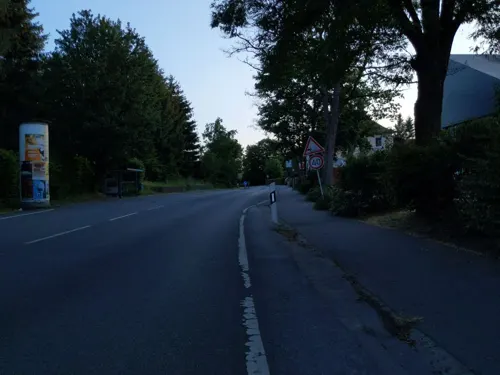
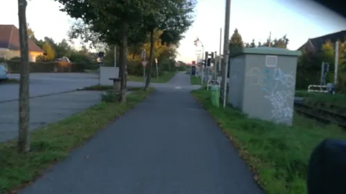
Grillwerk 2.0
Restaurant · Burger · 4.3 km
2 Teutoburger Straße, Halle (Westf.)
We-Fr 11:30-14:00, We-Sa 17:00-21:00, Su 16:00-21:00
Restaurant und Sommerfrische "Friedrichshöhe"
Bar and pub · Regional, International, Coffee Shop · 3.9 km
48 Kaistraße, Steinhagen
Mo-Tu 18:00-01:00, We-Th 12:00-01:00, Fr 12:00-03:00, Sa...
Tomatissimo
Restaurant · Mediterranean · 5.7 km
15 Am Tie, Bielefeld
We-Su 18:00-21:30, Su 12:00-14:00


81 more on the map.
Where to stay9
Churches and places of worship23
Shopping34
Gas and EV charging20
Schools, colleges and libraries22
Hochschule Bielefeld - University of Applied Sciences and Arts
School · 8.1 km
Healthcare10
i.med Medizinisches Versorgungszentrum
Clinic and pharmacy · 5.6 km
8b Neulehenstraße, Halle (Westf.)
Map of Steinhagen
250 places. The map loads OpenStreetMap tiles when you open it.
Getting there and nearby towns
Flugplatz Bielefeld (BFE) is the nearest airport with scheduled flights listed in OpenStreetMap, 11 km away.
- Werther 9 km north, about 9 min by car
- Bielefeld 10 km east, about 10 min by car
- Verl 15 km southeast, about 15 min by car
- Versmold 17 km west, about 17 min by car
- Hilter 23 km northwest, about 23 min by car
- Warendorf 29 km west, about 29 min by car
- Vlotho 36 km northeast, about 36 min by car
- Osnabrück 39 km northwest, about 39 min by car
- Paderborn 40 km southeast, about 40 min by car
- Hasbergen 40 km northwest, about 40 min by car
Drive times are estimates from straight-line distance, not routes.
Local news
Headlines from INDB.
Reviews, tips and questions
Loading what members have shared...
Sources and licences
- GeoNames (CC BY 4.0): population, coordinates, regions and time zone
- Mapillary (see each image): photos
- OpenStreetMap contributors (ODbL 1.0): places, airports, map data
- Wikidata (CC0 1.0): elevation, founding date, time zone, website, landmarks and historic places
- Wikimedia Commons (see each image): photos
- Wikipedia (CC BY-SA 4.0): overview and history text
Photo credits
- Steinhagen Kirche, Hagar66, CC BY-SA 3.0
- Steinhagen Park, Hagar66, CC BY-SA 3.0
- Steinhagen Steinhaegerkrug, Hagar66, CC BY-SA 3.0
- Steinhagen Am Kirchring, Hagar66, CC BY-SA 3.0
- Steinhagen - Kirche St. Hedwig 2, Hagar66, CC BY-SA 3.0
- Steinhagen Kirchmosaik, Hagar66, CC BY-SA 3.0
- Steinhagen - Kirche St. Hedwig 1, Hagar66, CC BY-SA 3.0
- Steinhagen Nutzung, Hagar66, Public domain
- Steinhagen Rathaus, Hagar66, CC BY-SA 3.0
- Cronsbachstadion in Steinhagen, Hullu poro, CC BY-SA 4.0
- Hörmann-Sportzentrum Steinhagen, Hullu poro, CC BY-SA 4.0
- -58 Hof Schelp, Obersteinhagen, Torbogen, Varus111, CC BY-SA 4.0
- Bahnhof Steinhagen, Stefan Flöper, CC BY-SA 4.0
- Kunsthalle Bielefeld Mai 2014 2, Bielibob, CC BY-SA 3.0
- Bielefeld Kreuzstraße 20 Naturkunde-Museum namu Spiegelshof 2012-05-13, G8w, CC BY-SA 3.0
- Apostelkirche (Gütersloh) (01), Chris06, CC BY-SA 4.0
- Werther Jacobi3, Chris06, Public domain
- Brockhagen Evangelische Pfarrkirche, Daniel Brockpähler, CC BY-SA 3.0
- Schloss Patthorst, Raoul & Carlos, CC BY 3.0
- Halle (Westf.) - Hengeberg, Hagar66, CC BY-SA 3.0
- Isselhorst Kirchturm, Daniel Brockpähler, CC BY-SA 3.0
- Bielefeld - Ummeln ev.Kirche, Hagar66, CC BY-SA 3.0
- Steinhagen (Westfalen) - NSG Feuchtwiese Vennheide, Hagar66, CC BY-SA 3.0
- Steinhagen (Westfalen) - NSG Feuchtwiesen In den Wösten, Hagar66, CC BY-SA 3.0
- Hünenburg, Hopfenpflücker, CC BY-SA 3.0
- Markant, Papenburg (2019) 04, Donald Trung Quoc Don (Chữ Hán: 徵國單) - Wikimedia Commons - © CC BY-SA 4.0 International . ( Want to use this image? ), CC BY-SA 4.0
- Steinhagen - NSG Jakobsberg - 1, Ath, CC0
- Kloster-Jostberg-Ansicht-von-Norden, Grugerio, CC BY-SA 3.0
- Bielefeld Kirchdornberg, Am Tie 17, Peterskirche, 2013-03-24 HDR, G8w, CC BY-SA 3.0
- Johanneskirche (1), LambdaTotoro, CC0
- Bielefeld - Hoberg-Uerentrup-Markuskirche, Hagar66, CC BY-SA 3.0
- Gütersloh - NSG Am Lichtebach 1, Hagar66, CC BY-SA 3.0
- Naturschutzgebiet Gartnischberg IMG 0637, Klaus Schmedtmann, CC0
- EggeNSG Steinhagen, Bielibob, CC BY-SA 3.0
- Steinhagen (Westfalen) - NSG Feuchtwiesen Ströhen, Hagar66, CC BY-SA 3.0
- Steinhagen (Westfalen) - NSG Foddenbach Landbach, Hagar66, CC BY-SA 3.0
- Halle Westf Hellberg, Bielibob, CC BY-SA 4.0
- Bielefeld - Hünenburg - 1, Ath, CC0
- Halle (Westf.) - Waldgrab Potthoff, Hagar66, CC BY-SA 3.0
- Bielefeld Kirchdornberg, Am Tie 17, Peterskirche, 2013-03-24, G8w, CC BY-SA 3.0
- Uni-Bi, Unknown author, CC BY-SA 3.0
- Hochschule Bielefeld main building, SatanicHorse, CC BY-SA 4.0
- Street-level photo, thorstenh, CC BY-SA 4.0
- Street-level photo, flohoff, CC BY-SA 4.0
- Street-level photo, DeFra85, CC BY-SA 4.0
- Street-level photo, thorstenh, CC BY-SA 4.0
- Street-level photo, DeFra85, CC BY-SA 4.0
- Street-level photo, flohoff, CC BY-SA 4.0
- Street-level photo, nrailuj, CC BY-SA 4.0
- Street-level photo, toaskoas, CC BY-SA 4.0
- Street-level photo, jonastae, CC BY-SA 4.0
- Street-level photo, flohoff, CC BY-SA 4.0
- Street-level photo, thorstenh, CC BY-SA 4.0
- Street-level photo, TheLaba, CC BY-SA 4.0
- Street-level photo, amenophis, CC BY-SA 4.0
- Street-level photo, DeFra85, CC BY-SA 4.0
- Street-level photo, derlipper, CC BY-SA 4.0
- Street-level photo, Schmarvis, CC BY-SA 4.0
- Street-level photo, flohoff, CC BY-SA 4.0
- Street-level photo, flohoff, CC BY-SA 4.0
- Street-level photo, Schmarvis, CC BY-SA 4.0
- Street-level photo, flohoff, CC BY-SA 4.0
- Street-level photo, Coemgen84, CC BY-SA 4.0


Page built November 8, 2026. Spotted a mistake? Tell us or suggest a place.