


Why visit Rheurdt
Townapedia lists 35 museums and landmarks, 36 parks and trails, 39 places to eat, 12 places to stay and 20 attractions in and around town.
Highlights include Die Schaf-Gabe, Hofladen Biolandhof Frohnenbruch, Fossa Eugeniana and Wegekreuz.
Weather in Rheurdt
Forecast from MET Norway (CC BY 4.0). Full forecast
About Rheurdt
Rheurdt (German pronunciation: [ʁøːɐ̯t]) is a municipality in the district of Cleves, in North Rhine-Westphalia, Germany. It is located approximately 10 kilometres (6.2 mi) west of Moers.
From the Wikipedia article Rheurdt (this version), under CC BY-SA 4.0.
Things to do20

Die Schaf-Gabe
Farm and orchard · 2.7 km
Kardierte Wolle zum Filzen, als Kissen- oder Deckenfüllung. Strickwolle natur- und pflanzengefärbt, Socken, Pullover, Westen,...
77 Littardweg, Neukirchen-Vluyn
We 15:00-17:00, Sa 10:00-14:00
Hofladen Biolandhof Frohnenbruch
Farm and orchard · 4.6 km
Hofeigenen BIO-Fleisch vom Limousin-Rind oder Freilandschwein, Geflügel und Eier
81 Schloßallee, Kamp-Lintfort
We-Fr 09:00-18:00; Sa 09:00-14:00
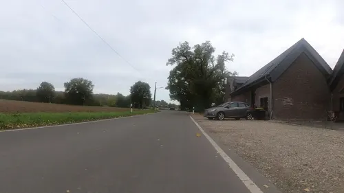
Obstplantagen Monterkampshof
Farm and orchard · 4.6 km
Obst
33 Vluyner Straße, Neukirchen-Vluyn
Mo-Th 09:00-13:00,15:00-18:30, Fr 09:00-18:30, Sa 09:00-13:00
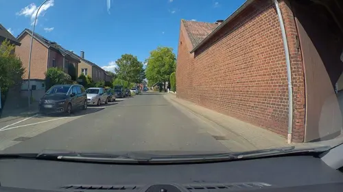
Hofladen Herveshof
Farm and orchard · 2.6 km
44 Rheurdter Straße, Rheurdt
We-Fr 09:00-12:00,15:00-18:00, Sa 08:30-12:30
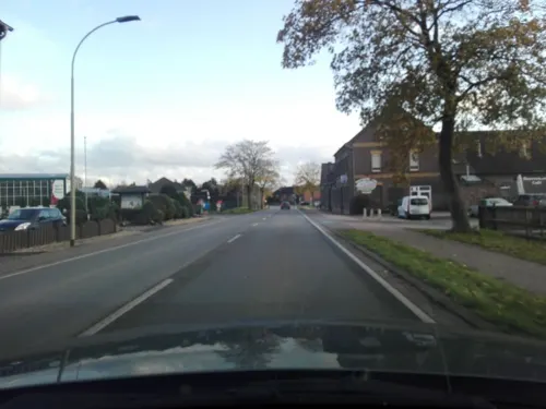
Naturhof Bauernmarkt Beyen
Farm and orchard · 4.5 km
16 Hülser Straße, Kerken
Tu-Fr 09:00-18:00; Sa,Su 08:30-17:00; Mo off
Bornheim Rübenkraut & Apfelkraut seit 1760
Farm and orchard · 4.4 km
94 Kirchhoffstraße, Kamp-Lintfort
Sa 09:00-12:00

8 more on the map.
Museums and landmarks35


Wegekreuz
Monument and historic site · Roman Catholic · 4.6 km
Einfaches hohes Holzkreuz ohne Christusfigur, Backsteineinfriedung
Mühlengraben
Monument and historic site · 1.9 km
600m langer, heute trockener Mühlengraben der Wassermühle Sassenrath; Fallhöhe durch Abschneiden einer Flußschlinge des Nieper Altrheins


Sevelener Landwehr
Monument and historic site · 4.8 km
Teilstück der Sevelener Landwehr; siehe westlich KLE 058a
Vaetshof
Monument and historic site · 3.5 km
Zweigeschossiges, sechsachsiges, verputztes Wohnhaus unter Walmdach mit Dreiecksgiebel und Stuckaturen des späten Jugendstils
Einheitspersonenwagen ("Donnerbüchse") BI 29
Monument and historic site · 3.3 km


23 more on the map.
Parks, trails and playgrounds36





24 more on the map.
Restaurants and cafes39
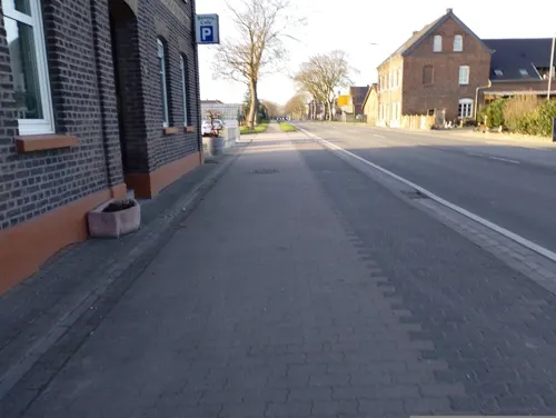
Bauerncafe Beyen
Bakery · Cake, Regional · 4.5 km
16 Hülser Straße, Kerken
Tu-Fr 09:00-18:00; Sa,Su 08:30-17:00; Mo off
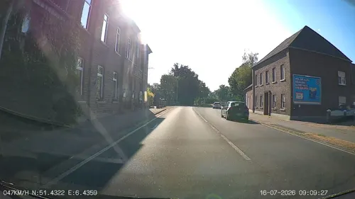
Brand Heimat & Genuss
Restaurant · Fish, International, Regional · 4.4 km
41 Hülser Straße, Kerken
Mo,Th 17:00-22:00; Fr,Sa 17:00-23:00; Su 12:00-15:00,17:00-22:00; Tu,We off

Café am Weiher
Cafe · Regional · 4.6 km
81 Schloßallee, Kamp-Lintfort
We-Fr 09:00-18:00; Sa 09:00-14:00
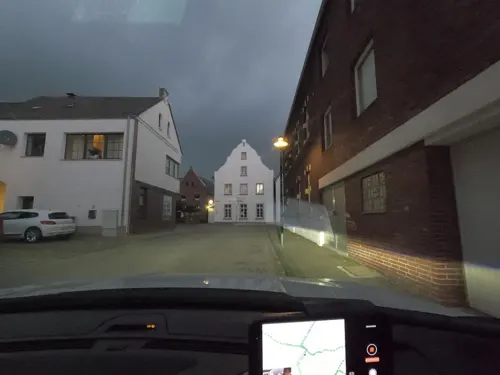
Don Peppone
Restaurant · Italian · 4.6 km
5 Marktstraße, Kerken
Mo off; Tu-Th 17:30-21:30; Fr-Sa 17:00-22:00; Su 12:00-21:30

Hotel Restaurant Haus Thoeren
Restaurant · Regional, International · 4.7 km
14-16 Marktstraße, Kerken
Tu-Sa 17:30-21:30; Su 11:30-14:00,17:30-21:30; Mo off
Palm im Samannshof
Restaurant · International · 2.8 km
55 Littardweg, Neukirchen-Vluyn
We-Sa 17:00-21:00; Su, PH 12:00-20:00
Restaurant Urig
Restaurant · Balkan · 4.5 km
4 Von-Galen-Straße, Kerken
Mo,We-Fr 17:00-22:00; Sa 12:00-14:00,17:00-22:00; Su, PH...
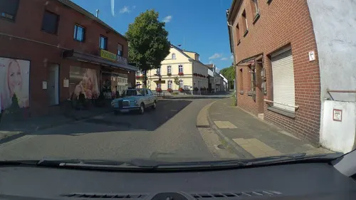
Bio-Bäckerei Schomaker
Bakery
21 Rathausstraße, Rheurdt
Mo-Fr 07:00-18:30; Sa 07:00-18:00; Su 08:00-18:00
By Kaplan
Restaurant · Turkish, Burger · 4.7 km
12 Marktstraße, Kerken
Mo off; Tu-Th 17:00-23:00; Fr-Sa 17:00-00:00; Su,PH 16:00-22:00



27 more on the map.
History
Rheurdt was first mentioned in a tax record in 1294 as "Rurde" or "Rorde", in the 14th century as Roirt, Roerdt, Reuerde, that resulted in today's name of "Rheurdt".
In 1969, during the first local government reorganization of North Rhine-Westphalia, the villages of Rheurdt and Schaephuysen were merged into the new municipality Rheurdt.
From the History section of Rheurdt on Wikipedia, under CC BY-SA 4.0.
Where to stay12
Churches and places of worship20
Shopping10
Gas and EV charging9
Schools, colleges and libraries7
St. Petrus-Schule, katholische Grundschule Aldekerk
School · Catholic · 4.7 km
5-7 Kempener Straße, Kerken
Healthcare4
Map of Rheurdt
192 places. The map loads OpenStreetMap tiles when you open it.
Getting there and nearby towns
Düsseldorf-Mönchengladbach Airport (MGL) is the nearest airport with scheduled flights listed in OpenStreetMap, 26 km away.
- Neukirchen-Vluyn 6 km east, about 6 min by car
- Kamp-Lintfort 7 km northeast, about 7 min by car
- Moers 12 km east, about 12 min by car
- Geldern 11 km northwest, about 11 min by car
- Kempen 12 km south, about 12 min by car
- Wachtendonk 11 km southwest, about 11 min by car
- Rheinberg 13 km northeast, about 13 min by car
- Kapellen 14 km northwest, about 14 min by car
- Alpen 13 km north, about 13 min by car
- Krefeld 16 km southeast, about 16 min by car
Drive times are estimates from straight-line distance, not routes.
Local news
Headlines from INDB.
Reviews, tips and questions
Loading what members have shared...
Sources and licences
- GeoNames (CC BY 4.0): population, coordinates, regions and time zone
- Mapillary (see each image): photos
- OpenStreetMap contributors (ODbL 1.0): places, airports, map data
- Wikidata (CC0 1.0): elevation, founding date, time zone, website, landmarks and historic places
- Wikimedia Commons (see each image): photos
- Wikipedia (CC BY-SA 4.0): overview and history text
Photo credits
- Rheurdt, Pfarrkirche Sankt Nikolaus Dm38 foto12 2016-05-05 11.19, Michielverbeek, CC BY-SA 4.0
- Stolperstein Rheurdt Rathausstraße 27 Bernhard Leiser, Gmbo 2013, CC0
- Stolpersteinlage Rheurdt Aldekerker Straße 5, Gmbo 2013, CC0
- Stolpersteine Rheurdt Aldekerker Straße 5, Gmbo 2013, CC0
- Stolperstein Rheurdt Aldekerker Straße 5 Rosette David, Gmbo 2013, CC0
- Stolperstein Rheurdt Aldekerker Straße 5 Friedrich Seelmann, Gmbo 2013, CC0
- Stolperstein Rheurdt Aldekerker Straße 5 Lieselotte Seelmann, Gmbo 2013, CC0
- Stolperstein Rheurdt Aldekerker Straße 5 Frieda Seelmann, Gmbo 2013, CC0
- Stolperstein Rheurdt Aldekerker Straße 5 Jakob David, Gmbo 2013, CC0
- Stolpersteine Rheurdt Rathausstraße 27, Gmbo 2013, CC0
- Stolperstein Rheurdt Rathausstraße 27 Moses David, Gmbo 2013, CC0
- Stolperstein Rheurdt Rathausstraße 27 Hans Leiser, Gmbo 2013, CC0
- Stolperstein Rheurdt Rathausstraße 27 Martha Leiser, Gmbo 2013, CC0
- Wohnhaus Rheurdt Rathausstraße 22, Gmbo 2013, CC0
- Stolpersteinlage Rheurdt Rathausstraße 27, Gmbo 2013, CC0
- Wohnhaus Rheurdt Rathausstraße 32, Gmbo 2013, CC0
- Rheurdt ehrenmal bb24-a, Wiki058, CC BY-SA 4.0
- Stolpersteinlage Rheurdt Rathausstraße 70, Gmbo 2013, CC0
- Stolperstein Rheurdt Rathausstraße 70 Paula Kaufmann, Gmbo 2013, CC0
- Stolperstein Rheurdt Rathausstraße 70 Amalie Kaufmann, Gmbo 2013, CC0
- Stolpersteine Rheurdt Rathausstraße 70, Gmbo 2013, CC0
- Stolperstein Rheurdt Rathausstraße 70 Margot Kaufmann, Gmbo 2013, CC0
- Stolperstein Rheurdt Rathausstraße 70 Georg Kaufmann, Gmbo 2013, CC0
- Gedenktafel Bethaus Rheurdt Rathausstraße 70, Gmbo 2013, CC0
- Kloster Kamp - Abteikirche - 2010, Avda, CC BY-SA 3.0
- Het begin van de aanleg van de Fossa Eugeniana, 1626 Delineatio & descriptio novi canalis, qui non ita pridem derivari cepit circa Rhenum in Mosam quod opus ceptum 21. die Septembris, anni 1626..., Rijksmuseum, CC0
- Weihnachtsmarkt Bloemersheim, Frontseite Schloss, 2010-12-04, kaʁstn Disk / Cat, CC BY-SA 3.0
- SchlossLeyenburg1, Sven Tombers, CC BY 2.5
- SBK Eingang quer, Sbk redakteur, CC BY-SA 3.0
- Littardkuhlen (2) - WP, Tetris L, CC BY-SA 3.0
- Sevelen Kirche (1), HenkvD, CC BY-SA 4.0
- Neukirchen-Vluyn-Vluyn-Weg Schloss Bloemersheim, Dat doris, CC BY-SA 4.0
- Schaephuysen - Kath. Pfarrkirche St. Hubertus - panoramio, Edgar El, CC BY 3.0
- Magdalenenkloster in Aldekerk - panoramio, Edgar El, CC BY 3.0
- Blink (KLE) 2, Risch photography, CC BY-SA 4.0
- Neukirchen-Vluyn-Vluyn-Schloss Bloemersheim 02, Dat doris, CC BY-SA 4.0
- Staatsforst-Rheurdt-Littard Littardkuhlen Steg am See, DerTopfgucker, CC BY-SA 4.0
- Kerken Baudenkmal 020 ehem Klosterkirche, Rudolfo42, CC BY-SA 4.0
- St. Quirinus Kapelle, Krefeldphoto, CC BY-SA 4.0
- Eugeniana02, Markus Schweiss, CC BY-SA 3.0
- Aldekerk, die Sankt Peter und Paul Kirche Dm32 foto5 2016-05-05 10.52, Michielverbeek, CC BY-SA 4.0
- Street-level photo, jan_f, CC BY-SA 4.0
- Street-level photo, poxonline, CC BY-SA 4.0
- Street-level photo, heetENkoel, CC BY-SA 4.0
- Street-level photo, enqueue, CC BY-SA 4.0
- Street-level photo, saschahaberkorn, CC BY-SA 4.0
- Street-level photo, poxonline, CC BY-SA 4.0
- Street-level photo, poxonline, CC BY-SA 4.0
- Street-level photo, poxonline, CC BY-SA 4.0
- Street-level photo, poxonline, CC BY-SA 4.0
- Street-level photo, poxonline, CC BY-SA 4.0
- Street-level photo, jenz, CC BY-SA 4.0
- Street-level photo, poxonline, CC BY-SA 4.0
- Street-level photo, rausk, CC BY-SA 4.0
- Street-level photo, saschahaberkorn, CC BY-SA 4.0
- Street-level photo, poxonline, CC BY-SA 4.0
- Street-level photo, poxonline, CC BY-SA 4.0
- Street-level photo, saschahaberkorn, CC BY-SA 4.0
- Street-level photo, poxonline, CC BY-SA 4.0
- Street-level photo, poxonline, CC BY-SA 4.0
- Street-level photo, poxonline, CC BY-SA 4.0


Page built November 9, 2026. Spotted a mistake? Tell us or suggest a place.