


Kapellen, Germany
Kapellen an der Fleuth
Kapellen is a town of 22,711 people in North Rhine-Westphalia, Germany.
Why visit Kapellen
Townapedia lists 30 museums and landmarks, 10 parks and trails, 17 places to eat, 1 place to stay and 4 attractions in and around town.
Highlights include Hoffleischerei Hawix, Korbmacherin Schiffer, Singendonksche Windmühle and Haus Wankum.
Weather in Kapellen
Forecast from MET Norway (CC BY 4.0). Full forecast
About Kapellen
Kapellen an der Fleuth is a village of about 2700 people in northwest Germany near the border of the Netherlands. Since 1969 the village has been a part of the city of Geldern. Kapellen an der Fleuth lies in the Niederrhein (Lower Rhine) in the northwest part of German Federal State of Nordrhein-Westfalen. The village is approximately 72 kilometres (45 miles) from Düsseldorf, 16 km (10 mi) from the Rhine River at Xanten and 180 km (112 mi) from Amsterdam, Netherlands.
From the Wikipedia article Geldern-Kapellen (this version), under CC BY-SA 4.0.
Things to do4

Hoffleischerei Hawix
Farm and orchard · 3.2 km
Der Grillfleischautomat ist gefüllt mit 10 verschiedenen Produkten und alles, was zum Grillen dazugehört.
14 Plooweg, Sonsbeck
24/7
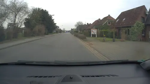
Korbmacherin Schiffer
Farm and orchard · 3.4 km
Herstellung traditioneller und moderner Gebrauchskörbe aus Weiden, Anfertigung von Körben nach Maß, Reparaturservice verschiedener...
13 Kevelaerer Straße, Sonsbeck
"nach Vereinbarung"
Kevelaerer Landmomente
Farm and orchard · 4.5 km
6 Binnenheide, Kevelaer
Mo. - Sa.: 08:00 - 20:00 Uhr, So.: 10:00 - 18:00 Uhr, Winter...

Museums and landmarks30

Singendonksche Windmühle
Monument and historic site · 1.1 km
Galerieholländer, über Backsteinunterbau ein Gefüge aus Ständern, die mit Andreaskreuzen verstrebt sind. Die Außenhaut besteht aus auf...

Haus Wankum
Monument and historic site · 0.9 km
1405 urkundlich erwähnter Rittersitz; eingeschossiges Backsteinhaus mit Walmdach; zweiflügeliges Wirtschaftsgebäude; ehem. Wassergraben...
24 Am Mühlenwasser
Alter Bentheimshof
Monument and historic site · 3.0 km
Ehemaliges T-Gehöft; Wohnhaus eingeschossig mit Krüppelwalmdach; Traufseite mit Putzquadergliederung vierachsig, die Giebelseiten weisen...
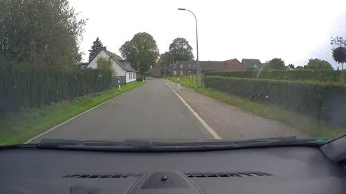
Altes Pfarrhaus
Monument and historic site · 4.3 km
Freistehender, zweigeschossiger Backsteinbau mit Walmdach und eingeschossigem Anbau; Traufseiten dreiachsig, Giebelseiten zweiachsig,...
Büchelhof
Monument and historic site · 4.5 km
Große Backsteinhofanlage, das Wohnhaus der T-Anlage ist zweigeschossig mit Walmdach, traufständige Eingangsseite in sechs Achsen,...
Düne bei Haus Beerendonk
Monument and historic site · 3.0 km
Bronzezeitliches und Römisches Gräberfeld; Urnenfund aus der Hallstattzeit; römische Funde 1. bis 3, Jhdt
Ehrenmal
Monument and historic site · 4.3 km
Schlichtes, steinernes Kreuz mit gusseisernem Korpus auf massivem Sockel; Namen der Gefallenen WW1 und WW2; einzige, reich gestaltete...
Festes Haus Loewshof
Monument and historic site · 2.4 km
Podest 29x27m; Reste einer Grabenanlage, Vorgängerbau des Loewshofes
Forsthaus
Monument and historic site · 3.4 km
Kleines, über hohem unterkellertem Sockel eingeschossiges Backsteinhaus mit Satteldach, in der Art eines T-Hauses; ehemaliges Forsthaus...
Gildenkampkate
Monument and historic site · 4.5 km
Eingeschossige Backsteinkate mit hohem Walmdach, zum Teil originale Deckung, im Inneren ist die Holzkonstruktion noch erhalten
Hacksteinhof
Monument and historic site · 2.0 km
Offene Backsteinhofanläge mit eingeschossigem traufständigem Wohnhaus mit Krüppelwalmdach; Regionaltypisches Beispiel eines T-Hauses mit...
Haus Beerenbrouck
Monument and historic site · 2.6 km
Zweigeschossiges, siebenachsige Herrenhaus um 1800 neu erbaut; urkundlich seit 1139 erwähnte Wasserburg
18 more on the map.
Parks, trails and playgrounds10




Restaurants and cafes17

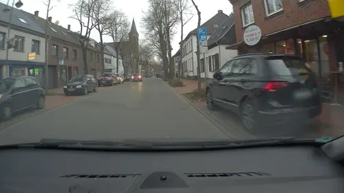
Lieblingsplatz by Egons Eiscafé
Cafe · Ice Cream, Breakfast · 4.2 km
48 Hochstraße, Sonsbeck
Mo 11:00-21:30; Tu-Th 09:00-21:30; Fr-Sa 09:00-22:00; Su 09:00-21:30





5 more on the map.
History
Capelle (Kapellen) was first mentioned in the year 1250. Because the area is on a Roman road of Xanten to Straelen, the area was likely populated well before 1250. The Roman Catholic Church of St. George was mentioned in 1305 in the St. Victor church register in the nearby town of Xanten. The church has records of the names of the assigned village priests since the year 1334.
On 3 March 1336 the knight Luef von Beerenbroeck sold the jurisdiction and the Patron Saint of Kapellen to Rainald II Von Geldern. He had become the feudal lord over the village of Capellen in 1326.
The village has been ravaged by fires. On 11 November 1690 the church burned down completely. On 14 July 1792, 27 houses and 16 barns destroyed by fire. Also affected was the parsonage, the church could be saved. On the eve of the Whit Sunday (Pentecost) 1810 32 houses and 16 barns burned down. The famous farm Beerenbrouck had a large fire in 1908 that helped to initiate the need for a local fire department. In 1908 the Kapellen village volunteer fire department was founded.
From 1798 to 1814 Capellen was under French rule. In 1815 the Congress of Vienna added the area of the Lower Rhine to the Kingdom of Prussia. On 23 April 1816 the Prussian administrative organization added Capellen to the area of Geldern. Geldern was 1 of more than 40 districts of the province of Jülich-Kleves-Berg.
From the History section of Geldern-Kapellen on Wikipedia, under CC BY-SA 4.0.
Where to stay1
Churches and places of worship12
Wallfahrtskirche "Zur Schmerzensmutter"
Church · Roman Catholic · 4.4 km
St. Maria-Magdalena
Church · Catholic · 4.2 km
41 Herrenstraße, Sonsbeck
Shopping5
Gas and EV charging3
Schools, colleges and libraries4
Healthcare2
Map of Kapellen
88 places. The map loads OpenStreetMap tiles when you open it.
Getting there and nearby towns
Airport Weeze (NRN) is the nearest airport with scheduled flights listed in OpenStreetMap, 16 km away.
- Kevelaer 8 km west, about 8 min by car
- Xanten 11 km northeast, about 11 min by car
- Weeze 13 km northwest, about 13 min by car
- Kamp-Lintfort 14 km southeast, about 14 min by car
- Rheinberg 16 km east, about 16 min by car
- Straelen 16 km southwest, about 16 min by car
- Wesel 20 km northeast, about 20 min by car
- Rees 21 km north, about 21 min by car
- Moers 23 km southeast, about 23 min by car
- Voerde 22 km east, about 22 min by car
Drive times are estimates from straight-line distance, not routes.
Local news
Headlines from INDB.
Reviews, tips and questions
Loading what members have shared...
Sources and licences
- GeoNames (CC BY 4.0): population, coordinates, regions and time zone
- Mapillary (see each image): photos
- OpenStreetMap contributors (ODbL 1.0): places, airports, map data
- Wikidata (CC0 1.0): elevation, founding date, time zone, website
- Wikimedia Commons (see each image): photos
- Wikipedia (CC BY-SA 4.0): overview and history text
Photo credits
- Kapellen – St. Georg - panoramio, Edgar El, CC BY 3.0
- Kapellen – Drei Kronen Hof - panoramio, Edgar El, CC BY 3.0
- Kapellen – Lange Straße - panoramio, giggel, CC BY 3.0
- Kapellen Kirche, HenkvD, CC BY-SA 4.0
- Kevelaer-Achterhoek Singendonksche Mühle 1797, Willemjans, CC BY-SA 4.0
- Fleuthkulen, GPunktCPunkt, CC BY-SA 4.0
- KapelleAengenesch, Sven Tombers, CC BY 2.5
- St. Maria-Magdalena Kirche Sonsbeck, Eimann at de.wikipedia, CC BY-SA 2.0 de
- Street-level photo, poxonline, CC BY-SA 4.0
- Street-level photo, poxonline, CC BY-SA 4.0
- Street-level photo, poxonline, CC BY-SA 4.0
- Street-level photo, poxonline, CC BY-SA 4.0
- Street-level photo, poxonline, CC BY-SA 4.0
- Street-level photo, poxonline, CC BY-SA 4.0
- Street-level photo, poxonline, CC BY-SA 4.0
- Street-level photo, poxonline, CC BY-SA 4.0
- Street-level photo, poxonline, CC BY-SA 4.0


Page built November 8, 2026. Spotted a mistake? Tell us or suggest a place.