


Rielasingen-Worblingen, Germany
Rielasingen-Worblingen is a town of 11,953 people in Baden-Wurttemberg, Germany.
Why visit Rielasingen-Worblingen
Townapedia lists 245 museums and landmarks, 26 parks and trails, 157 places to eat, 16 places to stay and 14 attractions in and around town.
Highlights include Cineplex, Rosenegg, Archäologisches Hegau-Museum and MAC Museum Art & Cars.
Weather in Rielasingen-Worblingen
Forecast from MET Norway (CC BY 4.0). Full forecast
About Rielasingen-Worblingen
Rielasingen-Worblingen is a municipality in the district of Konstanz, in Baden-Württemberg, Germany.
From the Wikipedia article Rielasingen-Worblingen (this version), under CC BY-SA 4.0.
Things to do14
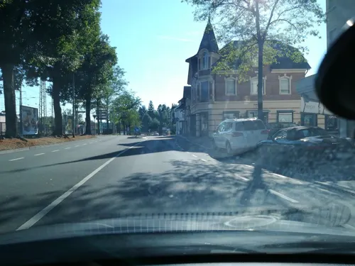


Buchhaldehof
Farm and orchard · 0.7 km
1 Vordere Buchhalde, Rielasingen-Worblingen
Mo, We, Fr 09:00-17:00; Sa 08:00-14:00

Hofladen Schoch
Farm and orchard · 2.0 km
1 Hintere Winkelstauden, Rielasingen-Worblingen
Th, Fr 09:00-12:00, 16:00-19:00; Sa 09:00-12:00



2 more on the map.
Museums and landmarks245

Archäologisches Hegau-Museum
Museum · 3.1 km
Archäologisches Hegau-Museum Singen
2 Am Schloßgarten, Singen (Hohentwiel)
Tu-Sa 14:00-18:00; Su,PH 14:00-17:00; Mo off
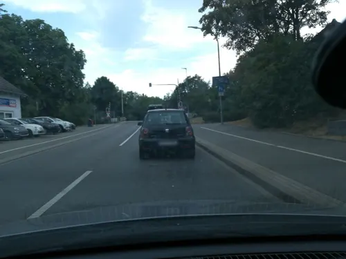
MAC Museum Art & Cars
Museum · 3.1 km
3 Parkstraße, Singen (Hohentwiel)
We-Sa 14:00-18:00; Su,PH 11:00-18:00




233 more on the map.
Parks, trails and playgrounds26

Flipped Funpark
Sports field and stadium · 3.6 km
5 Robert-Bosch-Straße, Singen (Hohentwiel)
Mo-Su 11:00-18:00; PH 11:00-18:00



14 more on the map.
Restaurants and cafes157
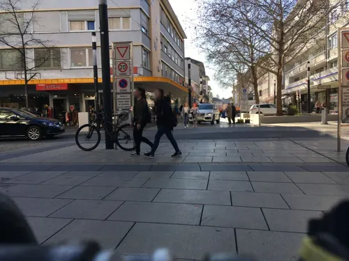
China Restaurant Jasmin Singen
Restaurant · Chinese, Pommes, Fish, Ice Cream, Cake, Salad, Noodles · 2.7 km
1a Erzbergerstraße, Singen (Hohentwiel)
Mo-Fr 11:30-14:30,17:30-21:30; Sa 11:30-15:30,17:30-22:00; Su,PH...
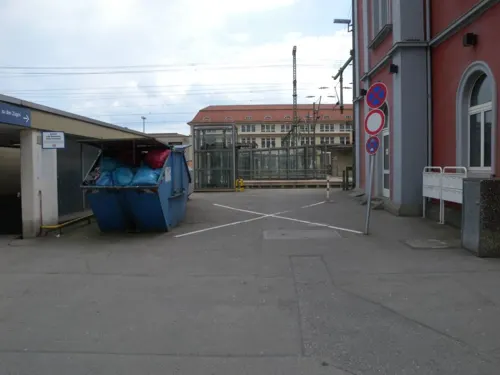
Happy Garden Restaurant
Restaurant · Asian, Chinese, Sushi, Thai · 2.3 km
33 Georg-Fischer-Straße, Singen (Hohentwiel)
Mo-Su 11:30-15:00,17:30-23:30
Oishii Sushi & Grill
Restaurant · Sushi · 2.6 km
15 Bahnhofstraße, Singen (Hohentwiel)
Mo-Su 11:30-14:30,17:30-22:30; PH off

Baumann
Brewery and winery · 3.1 km
28 Freiheitstraße, Singen (Hohentwiel)
Mo-Tu 10:00-13:00, 14:00-18:00; We 10:00-13:00; Th-Fr 10:00-13:00,...
Bombay Delight
Restaurant · Indian · 3.2 km
40 Freiheitstraße, Singen (Hohentwiel)
Mo 11:00-14:30,17:00-22:00; We-Fr 11:00-14:30,17:00-22:00; Sa...


Bäckerei Schlegel
Bakery · 1.2 km
33 Arlener Straße, Rielasingen-Worblingen
Mo-Fr 06:00-12:30,14:30-18:00; Sa 06:00-12:00; Su 07:00-10:30
145 more on the map.
History
In the year 1936, Arlen became a part of Rielasingen, because Rielasingen had to cede over 129 hectares over to Singen, and as exchange they got the village of Arlen.
In the year 1975, the Municipality "Rielasingen-Worblingen formed by merging Rielasingen (with Arlen) and Worblingen.
From the History section of Rielasingen-Worblingen on Wikipedia, under CC BY-SA 4.0.
Where to stay16
Churches and places of worship34
Herz-Jesu-Kirche
Church · Catholic · 3.1 km
6 Alpenstraße, Singen (Hohentwiel)
Königreichsaal der Zeugen Jehovas
Church · Jehovahs Witness · 2.6 km
165e Schaffhauser Straße, Singen (Hohentwiel)
Peter-und-Paul-Kirche
Church · Catholic · 3.0 km
56 Hauptstraße, Singen (Hohentwiel)
St. Stephan
Church · Roman Catholic · 1.1 km
34 Lindenstraße, Rielasingen-Worblingen
Theresienkapelle
Church · Catholic · 2.5 km
40 Fittingstraße, Singen (Hohentwiel)
Freie evangelische Gemeinde Singen
Church · Protestant · 2.2 km
4 A Freiburger Straße, Singen (Hohentwiel)
Shopping40
Gas and EV charging11
ZG Raiffeisen-Tankstelle
Gas station · 3.6 km
25 Hohenkrähenstraße, Singen (Hohentwiel)
Rundel Mineralölvertrieb GmbH
Gas station · 2.8 km
4 Güterbahnhof, Singen (Hohentwiel)
Schools, colleges and libraries20
Healthcare10
Hegau-Bodensee-Klinikum Singen
Hospital · 3.1 km
10 Virchowstraße, Singen (Hohentwiel)
Map of Rielasingen-Worblingen
250 places. The map loads OpenStreetMap tiles when you open it.
Getting there and nearby towns
Friedrichshafen Airport (FDH) is the nearest airport with scheduled flights listed in OpenStreetMap, 51 km away.
- Singen 3 km north, about 3 min by car
- Stockach 18 km northeast, about 18 min by car
- Überlingen 25 km east, about 25 min by car
- Tuttlingen 28 km north, about 28 min by car
- Spaichingen 39 km north, about 39 min by car
- Trossingen 41 km north, about 41 min by car
- Villingen-Schwenningen 45 km northwest, about 45 min by car
- Waldshut-Tiengen 48 km west, about 48 min by car
- Sigmaringen 49 km northeast, about 49 min by car
- Rottweil 51 km north, about 51 min by car
Drive times are estimates from straight-line distance, not routes.
Local news
Headlines from INDB.
Reviews, tips and questions
Loading what members have shared...
Sources and licences
- GeoNames (CC BY 4.0): population, coordinates, regions and time zone
- Mapillary (see each image): photos
- OpenStreetMap contributors (ODbL 1.0): places, airports, map data
- Wikidata (CC0 1.0): elevation, founding date, time zone, website
- Wikimedia Commons (see each image): photos
- Wikipedia (CC BY-SA 4.0): overview and history text
Photo credits
- Talwiesenhalle Rielasingen, ReinerausH, CC BY-SA 3.0
- 2013-10-13 12-12-08 Germany Baden-Württemberg Rielasingen-Worblingen Rielasingen-Worblingen, Hansueli Krapf This file was uploaded with Commonist ., CC BY-SA 3.0
- 2013-10-13 12-19-34 Germany Baden-Württemberg Rielasingen-Worblingen Rielasingen-Worblingen, Hansueli Krapf This file was uploaded with Commonist ., CC BY-SA 3.0
- 2013-10-13 12-17-23 Germany Baden-Württemberg Rielasingen-Worblingen Rielasingen-Worblingen, Hansueli Krapf This file was uploaded with Commonist ., CC BY-SA 3.0
- 2013-10-13 12-16-51 Germany Baden-Württemberg Rielasingen-Worblingen Rielasingen-Worblingen, Hansueli Krapf This file was uploaded with Commonist ., CC BY-SA 3.0
- 2013-10-13 12-08-33 Germany Baden-Württemberg Rielasingen-Worblingen Rielasingen-Worblingen, Hansueli Krapf This file was uploaded with Commonist ., CC BY-SA 3.0
- 2013-10-13 12-08-57 Germany Baden-Württemberg Rielasingen-Worblingen Rielasingen-Worblingen, Hansueli Krapf This file was uploaded with Commonist ., CC BY-SA 3.0
- Rosenegg 01, Hubenschmid, CC BY 3.0
- Singen - Am Schlossgarten - Schloss - Hegau-Museum 01 ies, Frank Vincentz, CC BY-SA 3.0
- Friedrich-Wöhler-Gymnasium in Singen - Haupteingang, ReinerausH, CC BY-SA 3.0
- Hegau-Gymnasium Südfront, ReinerausH, CC BY-SA 3.0
- Herz-Jesu-Kirche Singen (Hohentwiel) 11 ShiftN ShiftN, Luca-bs (shifted & cropped by Rabanus Flavus ), CC BY 3.0
- Singen - Freiheitsstraße - St Thomas 01 ies, Frank Vincentz, CC BY-SA 3.0
- Singen - Ekkehardstraße - Kunstmuseum 01 ies, Frank Vincentz, CC BY-SA 3.0
- Theresienkapelle, SIHG-J1, CC BY-SA 4.0
- Singen - Hauptstraße - Peter und Paul ex 01 ies, Frank Vincentz, CC BY-SA 3.0
- Arlen, Kirche St. Stephan, Rauenstein, Public domain
- St Nikolaus in Worblingen, Sarang, Public domain
- Stolperstein Albert Bronner, 1, Wiesenstraße 2, Südstadt, Singen, Landkreis Konstanz, GeorgDerReisende, CC BY-SA 4.0
- GEMS Singen Neubau, Ralph Plennert, CC BY-SA 4.0
- D-BW-KN-Singen - Stolperstein - BIEDERMANN, Adolf, ANKAWÜ, CC BY-SA 4.0
- Stolperstein für Ehrig Arnoldt in Singen (Hohentwiel), Dd1gj, CC0
- D-BW-KN-Singen - Stolperstein - HARLANDER, Anna, ANKAWÜ, CC BY-SA 4.0
- Stolperstein Anna Schwarz, 1, Inselstraße 5, Kernstadt, Singen, Landkreis Konstanz, GeorgDerReisende, CC BY-SA 4.0
- D-BW-KN-Singen - Stolperstein - REIGL, Anton, ANKAWÜ, CC BY-SA 4.0
- Stolperstein Arthur Schäufele, 1, Mühlenstraße 3, Kernstadt, Singen, Landkreis Konstanz, GeorgDerReisende, CC BY-SA 4.0
- Singen (Hohentwiel), St. Peter und Paul (36), Subbass1, CC BY 3.0
- Bohlinger Aachried Richtung Osten, Ursa Mini, CC BY-SA 4.0
- D-BW-KN-Singen - Stolperstein - BLOHORN, Georg sen, ANKAWÜ, CC BY-SA 4.0
- Bahnhof Arlen-Rielasingen II, Triefeline, CC BY-SA 4.0
- Bahnhof Arlen-Rielasingen III, Triefeline, CC BY-SA 4.0
- Bahnhof Arlen-Rielasingen I, Triefeline, CC BY-SA 4.0
- Gueterschuppen Arlen-Rielasingen II, Triefeline, CC BY-SA 4.0
- Gueterschuppen Arlen-Rielasingen I, Triefeline, CC BY-SA 4.0
- Staatsgrenze Ramsen-Moskau, Triefeline, CC BY-SA 4.0
- Linie 402, 1, Südstadt, Singen, Landkreis Konstanz, GeorgDerReisende, CC BY-SA 4.0
- Burgmauer Hohenkrähen, Franziska Wagner, CC BY-SA 4.0
- Burg Hohenkrähen innen, Franziska Wagner, CC BY-SA 4.0
- Bushaltestelle Am Heidenbühl, 1, Südstadt, Singen, Landkreis Konstanz, GeorgDerReisende, CC BY-SA 4.0
- Rielasinger Straße 139, 1, Südstadt, Singen, Landkreis Konstanz, GeorgDerReisende, CC BY-SA 4.0
- Wegkreuz an der Färbe in Singen am Htw bessere Bildqualitaet, EinEngener, CC0
- Street-level photo, mr4703, CC BY-SA 4.0
- Street-level photo, canadarunner, CC BY-SA 4.0
- Street-level photo, mr4703, CC BY-SA 4.0
- Street-level photo, mr4703, CC BY-SA 4.0
- Street-level photo, mr4703, CC BY-SA 4.0
- Street-level photo, mr4703, CC BY-SA 4.0
- Street-level photo, mr4703, CC BY-SA 4.0
- Street-level photo, mr4703, CC BY-SA 4.0
- Street-level photo, talkrabb, CC BY-SA 4.0
- Street-level photo, nvbwseifert, CC BY-SA 4.0
- Street-level photo, mr4703, CC BY-SA 4.0
- Street-level photo, canadarunner, CC BY-SA 4.0
- Street-level photo, talkrabb, CC BY-SA 4.0
- Street-level photo, talkrabb, CC BY-SA 4.0
- Street-level photo, voschix, CC BY-SA 4.0
- Street-level photo, mr4703, CC BY-SA 4.0
- Street-level photo, talkrabb, CC BY-SA 4.0
- Street-level photo, mr4703, CC BY-SA 4.0
- Street-level photo, nvbwseifert, CC BY-SA 4.0
- Street-level photo, mr4703, CC BY-SA 4.0
- Street-level photo, mr4703, CC BY-SA 4.0
- Street-level photo, mr4703, CC BY-SA 4.0
- Street-level photo, talkrabb, CC BY-SA 4.0
- Street-level photo, mr4703, CC BY-SA 4.0
- Street-level photo, talkrabb, CC BY-SA 4.0
- Street-level photo, talkrabb, CC BY-SA 4.0


Page built November 8, 2026. Spotted a mistake? Tell us or suggest a place.